 Block
Block
Nantucket, Massachusetts
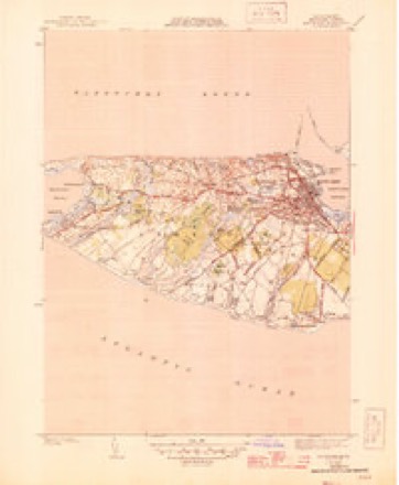
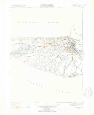
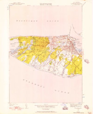
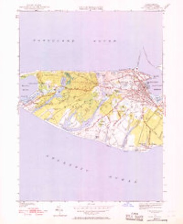
32 topographic sheets cover this place, the earliest surveyed in 1889 and the latest in 1994. It stands in Nantucket town. It lies in ZIP code area 02554. It stands on Popsquatchet Hills. The Survey maps it on the Siasconset quadrangle. 10,166 people lived here at the 2020 count. It stands 43 feet above sea level.
Research this city
This curated hub for Nantucket County, Massachusetts brings together the page's documented record links, visible map or image evidence where published, and routes to related local records.
What is documented here?
Use the page's provenance and linked records to distinguish the source material from the site's navigation and summaries.
How should I cite it?
Open the original record, preserve its repository and identifier, then use the citation tool for this page as a path back to the source.
Where should I go next?
Follow the county or state hub for related places and records, then use the guide for a source-aware research sequence.
Then and now
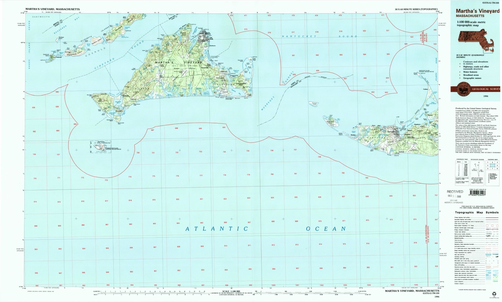
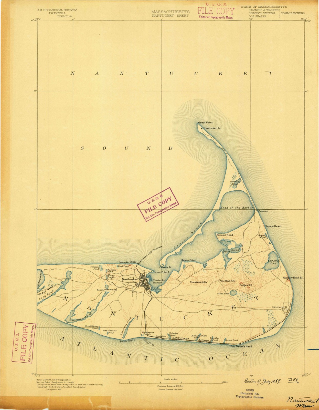
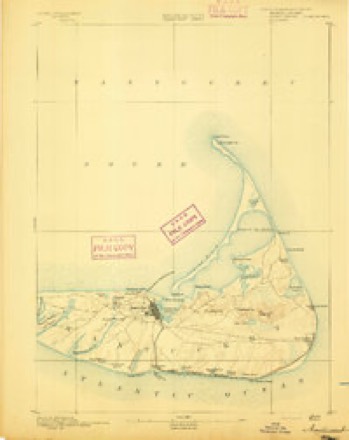
1889 to 1994The same ground, surveyed 105 years apart. Drag the handle to wipe between them. Both sheets are United States Geological Survey originals; neither has been altered.
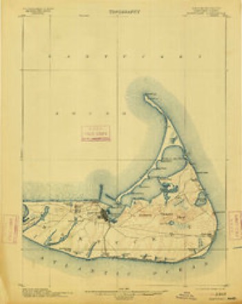
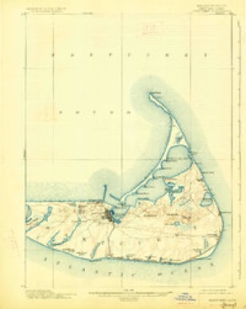
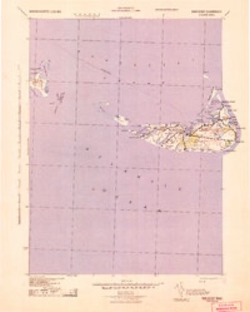
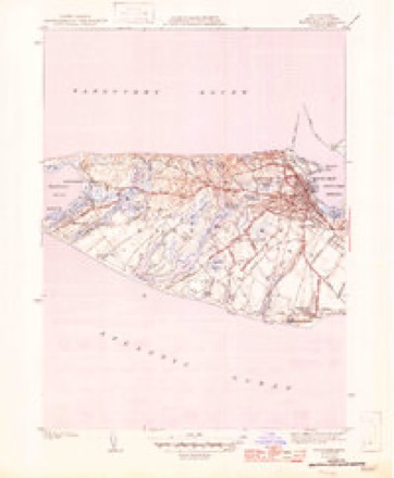
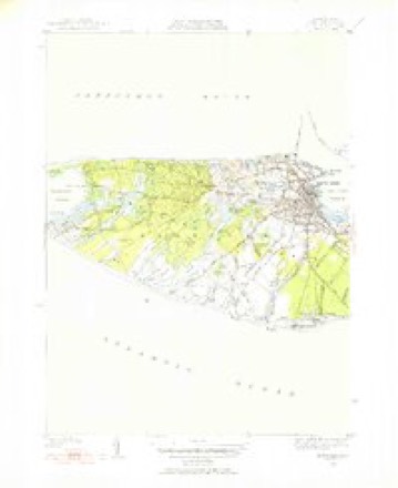
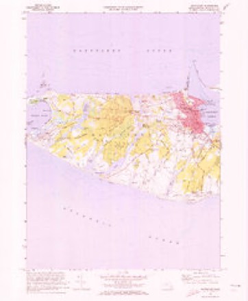
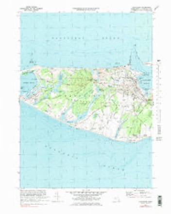
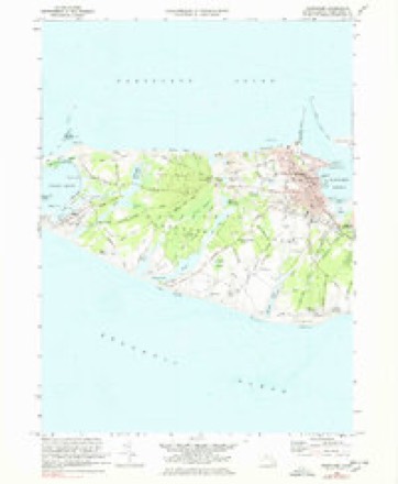
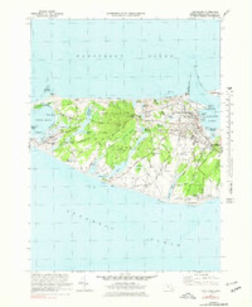
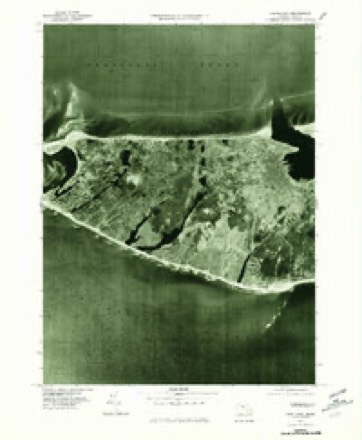
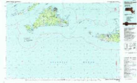
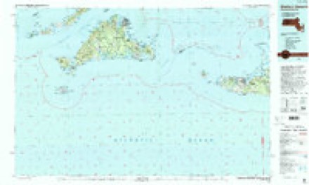
Topographic sheets covering this place
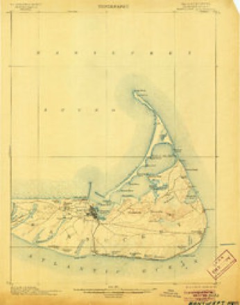
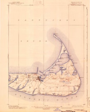
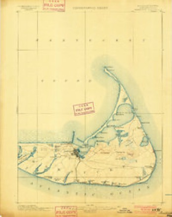
32 sheetsMatched by testing this settlement's coordinate against the published boundary of every sheet in the United States Geological Survey's historical collection. Each opens the scanned sheet at the Survey.
- 1889 USGS Nantucket quadrangle1:62500
- 1893 USGS Nantucket quadrangle1:62500
- 1893 USGS Nantucket quadrangle1:62500
- 1901 USGS Nantucket quadrangle1:62500
- 1901 USGS Nantucket quadrangle1:62500
- 1901 USGS Nantucket quadrangle1:62500
- 1901 USGS Nantucket quadrangle1:62500
- 1901 USGS Nantucket quadrangle1:62500
- 1942 USGS Nantucket quadrangle1:125000
- 1945 USGS Nantucket quadrangle1:31680
- 1945 USGS Nantucket quadrangle1:31680
- 1947 USGS Providence quadrangle1:250000
- 1947 USGS Providence quadrangle1:250000
- 1947 USGS Providence quadrangle1:250000
- 1947 USGS Providence quadrangle1:250000
- 1947 USGS Providence quadrangle1:250000
- 1948 USGS Providence quadrangle1:250000
- 1951 USGS Nantucket quadrangle1:31680
- 1951 USGS Nantucket quadrangle1:24000
- 1951 USGS Nantucket quadrangle1:24000
- 1951 USGS Nantucket quadrangle1:31680
- 1951 USGS Nantucket quadrangle1:31680
- 1957 USGS Providence quadrangle1:250000
- 1958 USGS Providence quadrangle1:250000
- 1963 USGS Providence quadrangle1:250000
- 1972 USGS Nantucket quadrangle1:24000
- 1972 USGS Nantucket quadrangle1:24000
- 1972 USGS Nantucket quadrangle1:24000
- 1972 USGS Nantucket quadrangle1:24000
- 1977 USGS Nantucket quadrangle1:24000
- 1986 USGS Martha's Vineyard quadrangle1:100000
- 1994 USGS Martha's Vineyard quadrangle1:100000










In the county-history sources
17,013 words on this townshipIllustrated Martha's Vineyard, Nantucket, Taunton, New Bedford, Fall River; a Guide and Souvenir to the Famous Resorts and Noted Cities of Southeastern Massachusetts, with Maps, List of Hotels, Rates, Time-tables, Etc, published 1889 names this settlement in its chapter on Nantucket Town. These are the passages that mention it, exactly as the scans read.
In October, 1641, Thomas Mayhew, Gent., and his son, Rev. Thomas. Mayhew, Jr., purchased of Sir Fernando Gorges and the Earl of Stirling, through their agents, Nantucket and its adjoining islands, and on the 23d of the same month obtained Martha's Vineyard and the Elizabeth Isles; and in-1642 began a settlement at Edgartown, then called Great Harbor, a name which it retained till 1671. In 1664 Charles II., by charter, gave to his brother James,
Passage source: Illustrated Martha's Vineyard, Nantucket, Taunton, New Bedford, Fall River; a Guide and Souvenir to the Famous Resorts and Noted Cities of Southeastern Massachusetts, with Maps, List of Hotels, Rates, Time-tables, Etc, published 1889.
Nearly the entire amount of commerce engaged in the coasting trade between New York, Philadelphia, Baltimore and the West Indies on the south, and the coast of New England north of Cape Cod, as well as the Atlantic ports of the British Provinces, passes through Vineyard and Nantucket sounds. While the distance is shorter by this route than by the outside route, it is intricate and dangerous, especially in stormy weather, by reason of strong tides and numerous shoals. It is these dangers that make Vineyard Haven Harbor, in spite of its limited area of deep water and exposure to the northeast storms, the most frequented and important on the entire Atlantic Coast.
Passage source: Illustrated Martha's Vineyard, Nantucket, Taunton, New Bedford, Fall River; a Guide and Souvenir to the Famous Resorts and Noted Cities of Southeastern Massachusetts, with Maps, List of Hotels, Rates, Time-tables, Etc, published 1889.
Katama Bay, one of the most beautiful bodies of water on the shores of the Vineyard. Comparatively few summer visitors go to Edgartown, although if one wants to go fishing a better place could not be found, and the attractions of the quiet town added to those at Katama and the south beach will amply repay a long ora short sojourn. Edgartown is the largest place on the Vineyard, containing more permanent residents than any other community on the island. Eastward from Edgartown is Chappaquiddick Island, separated from the main island by Edgartown Harbor and Katama Bay. The channel between these two bodies of water was filled up by a gale in 1872; the United States government subsequently opened it, but the tides and the storms continually brought back the sand; a year or two ago, however, a severe storm re-opened the channel in such a manner that it bids fair to remain an open passage. Chappaquiddick Island belongs to Edgartown, and has as points of interest Union Meeting-house, two Humane houses, Sampson's Hill and Wasque Bluff. The northeastern extremity of Chappaquiddick is Cape Poge on the extremity of which is a lighthouse. It lies low on the horizon southeasterly from Oak Bluffs, and by strangers is usually taken for Nantucket. Between the main portion of the Island and Cape Poge is Cape Poge Pond, which, on its east and west sides, is separated from the waters of the ocean only by low, narrow and sandy ridges of sand.
Passage source: Illustrated Martha's Vineyard, Nantucket, Taunton, New Bedford, Fall River; a Guide and Souvenir to the Famous Resorts and Noted Cities of Southeastern Massachusetts, with Maps, List of Hotels, Rates, Time-tables, Etc, published 1889.
Machine-read from a century-old scan, so expect the errors a machine makes: misspelled names, dropped words, stray characters.
Read the whole chapter on Nantucket Town - it names this place 28 more 28 times.
Photographs
8 photographs,Taken for the Office of War Information and the Farm Security Administration, who photographed the country between 1935 and 1944. Works of United States government photographers, with no known restriction on use. Each opens its catalogue record.
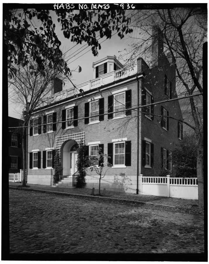
Unattributed, . Library of Congress
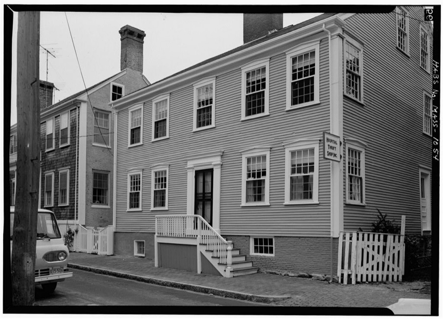
Unattributed, . Library of Congress
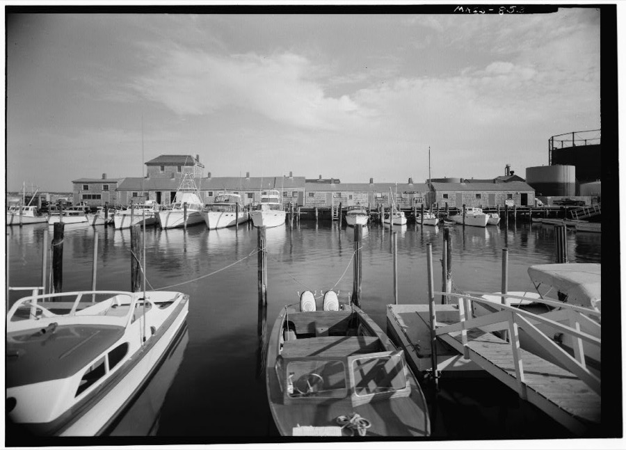
Unattributed, . Library of Congress
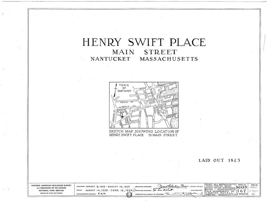
Unattributed, . Library of Congress
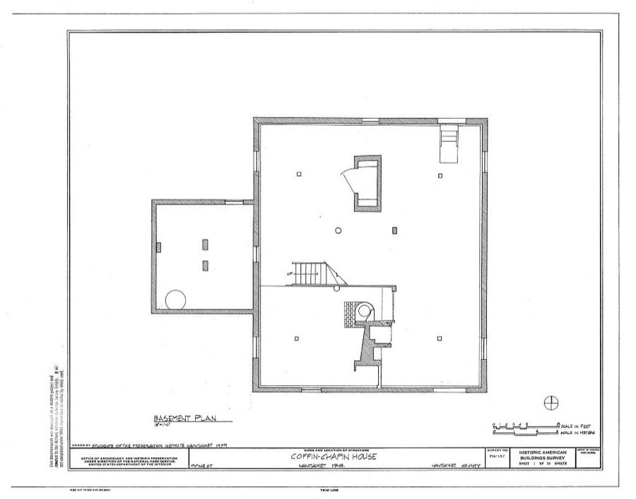
Unattributed, . Library of Congress
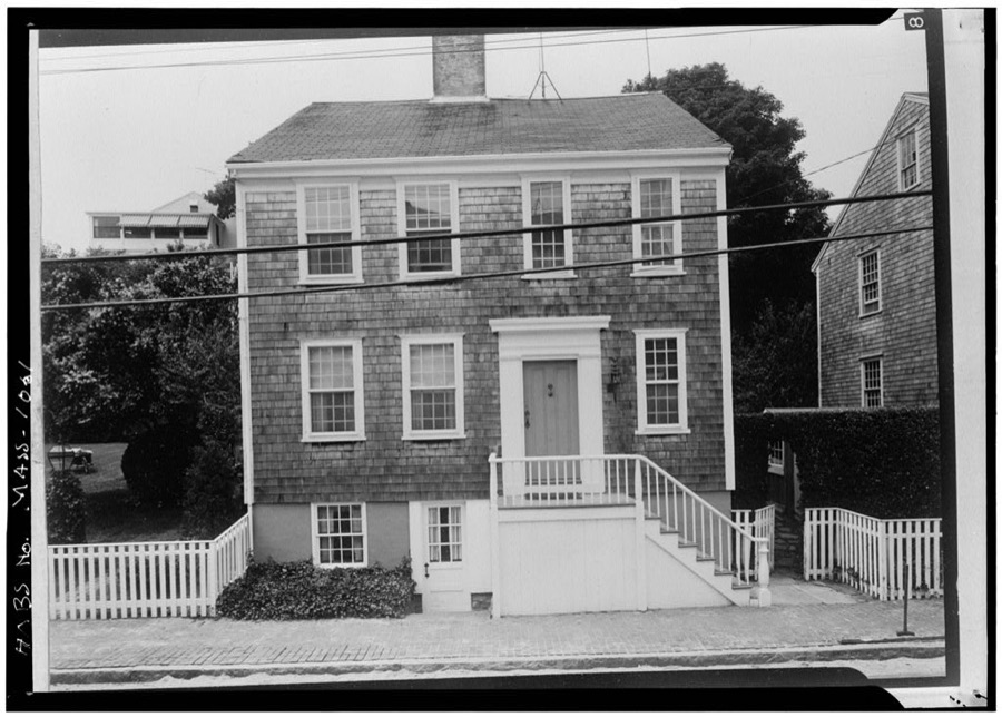
Unattributed, . Library of Congress
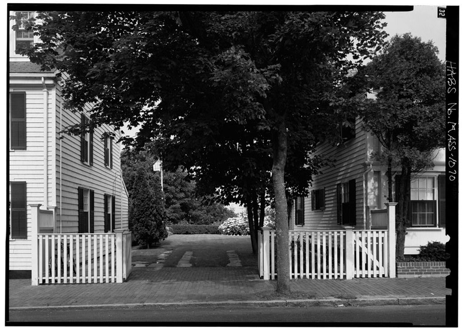
Unattributed, . Library of Congress
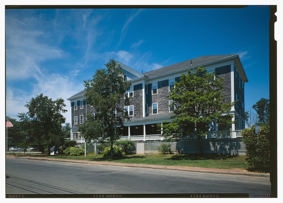
Unattributed, . Library of Congress
Fires near this place
14 since 2004Regional context, not property-specific evidence. The federal wildfire occurrence database lists 14 fires within 5 miles of Nantucket between 2004 and 2020, burning about 4 acres in total. 1 started naturally. 1 was recorded as arson. Distance is straight-line from the map coordinates, so a fire counted here may appear on a neighbouring settlement's page as well.
| Reported cause | Fires |
|---|---|
| Missing data/not specified/undetermined | 5 |
| Recreation and ceremony | 2 |
| Smoking | 2 |
| Arson/incendiarism | 1 |
| Other causes | 1 |
| Debris and open burning | 1 |
| Natural | 1 |
| Equipment and vehicle use | 1 |
The most recent of them, most recent first, with the day each was reported and the service that recorded it.
| Date | Cause | Size | Reported by | Name on the report |
|---|---|---|---|---|
| 27 September 2020 | Missing data/not specified/undetermined | under an acre | Massachusetts Bureau of Forest Fire Control | not named |
| 1 September 2020 | Missing data/not specified/undetermined | under an acre | Massachusetts Bureau of Forest Fire Control | not named |
| 25 July 2020 | Smoking | under an acre | Massachusetts Bureau of Forest Fire Control | not named |
| 10 June 2005 | Natural | under an acre | Massachussetts State Fire Marshal's Office | not named |
| 30 May 2006 | Smoking | under an acre | Massachussetts State Fire Marshal's Office | not named |
| 14 May 2020 | Missing data/not specified/undetermined | under an acre | Massachusetts Bureau of Forest Fire Control | not named |
| 29 April 2004 | Recreation and ceremony | under an acre | Massachussetts State Fire Marshal's Office | not named |
| 28 April 2006 | Equipment and vehicle use | 1.0 acres | Massachussetts State Fire Marshal's Office | not named |
Settlements close enough to share some of these fires:
Specimens collected near this place
12 of 4,149 shownRegional context, not property-specific evidence. Museums hold 4,149 specimens collected within 10 miles of Nantucket between 1825 and 1974: 2,684 Plantae, 921 Animalia, 388 Fungi, 105 Chromista, 44 Unrecorded, 7 Bacteria. 12 distinct Species records are shown. Collected by A AND P STARRETT, A. B. Seymour, A. Cohen and others. Each is a physical object with a catalogue number, and each entry opens the museum's record. This is what was collected and kept, not a survey of what lives here - nothing can be concluded from a species being absent.
| Image | Species | Year | Collected by | Where, as recorded |
|---|---|---|---|---|
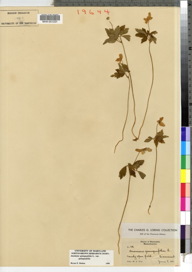 | Anemone quinquefolia L. | 1900 | M. A. Day | |
 | Rumex maritimus var. fueginus (Phil.) Dusén | 1825 | Collector unspecified | Martha's Vineyard. Block Id. |
 | Chrysopsis falcata (Pursh) Elliott | 1827 | F. A. Greene | |
 | Platanthera flava (L.) Lindl. | 1827 | T. A. Greene | Nantucket. |
| Desmodium rigidum (Elliott) DC. | 1829 | Oakes | ||
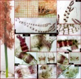 | Ceramium cimbricum H.E.Petersen | 1831 | not recorded | Nantucket. |
 | Gloeosporium polygoni Dearn. & House | 1836 | Guba E. F. | Nantucket Co. Cultivated Fields on Hummock Rd. |
| Chondria dasyphylla (Woodward) C.Agardh | 1848 | M. L. Owen | ||
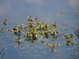 | Ludwigia palustris (L.) Elliott | 1849 | J. L. Russell | |
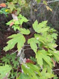 | Acer rubrum L. | 1899 | Nellie F. Flynn | |
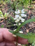 | Aletris farinosa L. | 1899 | Flynn, N. F. | Nantucket |
| Ambrosia artemisiifolia L. | 1899 | Nellie F. Flynn |
All 4,149 specimens within 10 miles, at the Global Biodiversity Information Facility.
Mines and quarries near this place
3 within 5 milesRegional context, not property-specific evidence. The federal mineral resources record lists 3 workings within 5 miles of Nantucket: 2 past producers, 1 producer. 1 still produces. What was taken out: Sand and Gravel, Construction. Distance is straight-line from the map coordinates, so a quarry counted here may appear on a neighbouring settlement's page as well.
| Where | Site | Commodity | Status | Recorded |
|---|---|---|---|---|
| Cape Cod and Islands Pit | Sand and Gravel, Construction | Past Producer | ||
| Glowacki Pit | Sand and Gravel, Construction | Producer | ||
| Nantucket Construction Company | Sand and Gravel, Construction | Past Producer |
Storms near this place
12 since 1998Regional context, not property-specific evidence. The National Weather Service names Nantucket in 12 storm reports between 1998 and 2023: 5 flood, 3 lightning, 2 thunderstorm wind, 1 funnel cloud. No death or injury is recorded in these reports. Each account below is quoted exactly as the forecast office filed it, from the NOAA Storm Events Database, and each date opens the federal record of that event.
| When | Event | Place named | Harm | What the report says |
|---|---|---|---|---|
| April 2017 | Lightning | Nantucket | $10,000 | The Nantucket Mirror newspaper reported two lightning strikes that caused damage. The first strike was to a home on Friendship lane, causing a small portion of the wall to be blown out and the flashing near the chimney to be bent upward. The second strike was to the Nantucket High School, causing a gymnasium window to be broken. |
| August 2023 | Thunderstorm Wind | Nantucket | $2,500 | On Nantucket, although the worst part of the storm passed just offshore to the north, on Jetties Beach tables were overturned and umbrellas broken at a restaurant. One person was hit by flying debris but not injured. Also, the fire department reported a tree down blocking Goose Pond Ln. |
| August 2023 | Lightning | Nantucket | $1,000 | In Nantucket, a house was struck by lightning on Goose Pond Ln. Shingles on the roof were thrown off by the strike. |
| March 2016 | Lightning | Nantucket | $1,000 | Lightning struck a house on Wanoma Way in Nantucket, damaging the chimney. |
| July 2011 | Thunderstorm Wind | Nantucket | $1,000 | Shingles were blown off a house on Barrett Farm Road by thunderstorm winds. |
| May 2020 | Flood | Nantucket | - | Minor street flooding was reported in downtown Nantucket with water up to sidewalks. |
| May 2020 | Flood | Nantucket | - | Washington Street was closed due to flooding. |
| July 2016 | Flood | Nantucket | - | One of the control tower operators at Nantucket Memorial Airport reported flooding in the parking lot of the airport, with cars stalled due to the depth of the water. Amateur radio operators reported eight inches of water flooding Sparks Avenue. A report on social media indicated significant flooding in the main airport loop, but no stalled cars a couple of hours after the report from the control tower operator. |
| December 2014 | Flood | Nantucket | - | Heavy rain resulted in several sections of Orange Street, Bartlett Road, and Sparks Avenue flooded with up to one foot of water. This was compounded by high tide occurring which inhibited the draining of water. |
| November 2014 | Flood | Nantucket | - | Union Street was closed at Francis Street and Orange Street and Washington Street was closed at Coffin Street due to flooding. Portions of Easy Street were also closed due to flooding. |
| March 2000 | Heavy Rain | Nantucket | - | no account filed |
| September 1998 | Funnel Cloud | Nantucket | - | no account filed |
Nearest settlements
The eight closest, with where each one stands in the county. Distances are straight-line, computed from the Geographic Names Information System coordinates.
| Map | Place | Distance | Sheets |
|---|---|---|---|
| Mikas Pond | 0.2 miles | 32 | |
| Town Pasture | 0.9 miles | 32 | |
| Monomoy | 1.0 miles | 32 | |
| Shimmo | 1.3 miles | 32 | |
| Shallow Pond | 1.8 miles | 32 | |
| Shawkemo | 2.3 miles | 32 | |
| South Pasture (historical) | 2.3 miles | 32 | |
| Long Josephs Point | 2.6 miles | 32 |
Elsewhere
Matched on this settlement's Geographic Names Information System number rather than its name, so it cannot be a different place of the same name in another state.
| Wikipedia article on Nantucket | An encyclopaedic summary. Its text is share-alike, so it is linked here rather than copied. |
| Wikidata item Q12185344 | The structured record the population and elevation above come from. Public domain (CC0). |
Provenance
This settlement is recorded in the Geographic Names Information System as feature 616716. The sheet list is computed by point-in-boundary test against the United States Geological Survey's historical topographic inventory. Both are works of the United States government and carry no copyright under 17 U.S.C. 105.
Wildfire. Short, Karen C. 2022. Spatial wildfire occurrence data for the United States, 1992-2020 [FPA_FOD_20221014]. 6th Edition. Fort Collins, CO: Forest Service Research Data Archive. https://doi.org/10.2737/RDS-2013-0009.6 Collected with United States Government funding and usable without additional permissions or fees.
Specimens. Global Biodiversity Information Facility (GBIF), https://www.gbif.org/. Only records licensed CC0 or CC BY are used. Records licensed CC BY-NC are excluded because this site carries advertising. Images are checked individually and any whose licence is non-commercial, no-derivatives or unreadable is refused.
Mines and quarries. USGS Mineral Resources Data System (MRDS) https://mrdata.usgs.gov/mrds/ A work of the United States government, no copyright under 17 U.S.C. 105.
Storms. NOAA National Centers for Environmental Information, Storm Events Database https://www.ncei.noaa.gov/stormevents/ A work of the United States government, no copyright under 17 U.S.C. 105. Narratives are quoted verbatim from the National Weather Service report and are not edited or summarised.