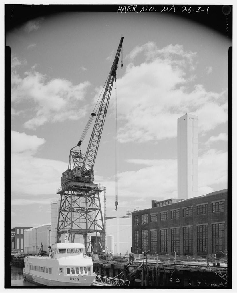
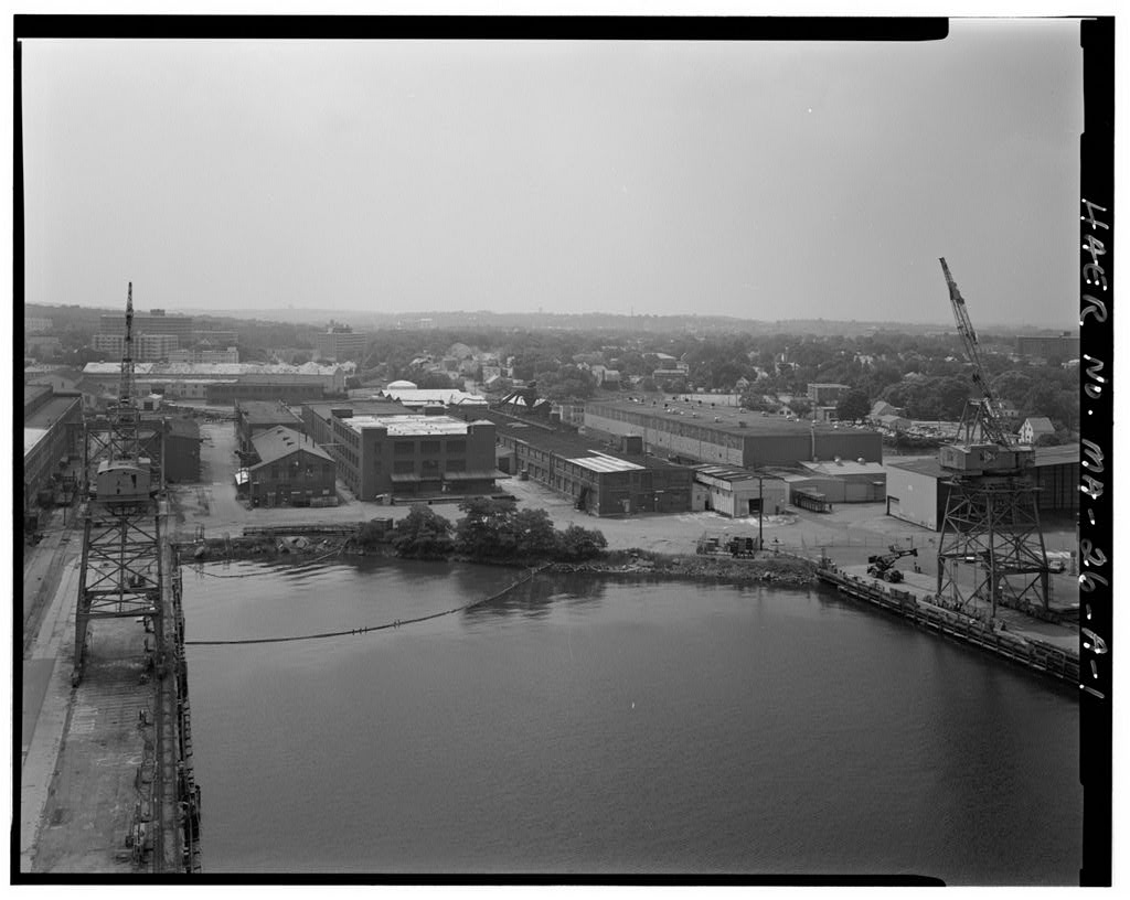
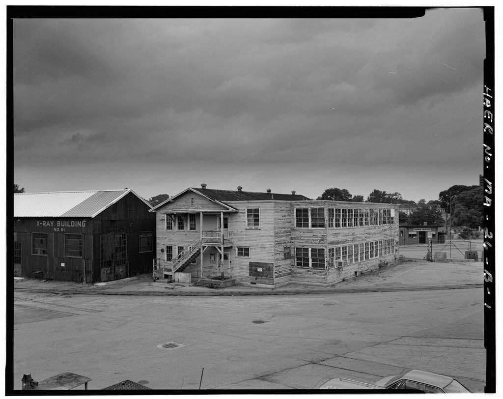
This documentation was undertaken in June/July by the Massachusetts Water Resources Authority (MWRA) in accordance with a Memorandum of Agreement. Portions of the Shipyard will serve as a staging area and shipping point during construction of sewage treatment facilities on Deer Island in Boston Harbor and for other water supply and waste-treatment related activities. Preparen Virginia A. Fitch The Public Archaeology Laboratory, Inc. 387 Lonsdale Avenue Pawtucket, RI
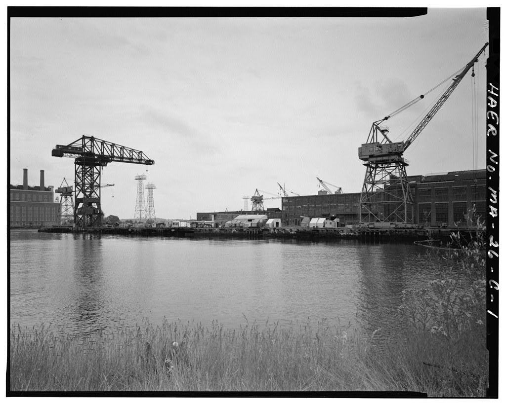
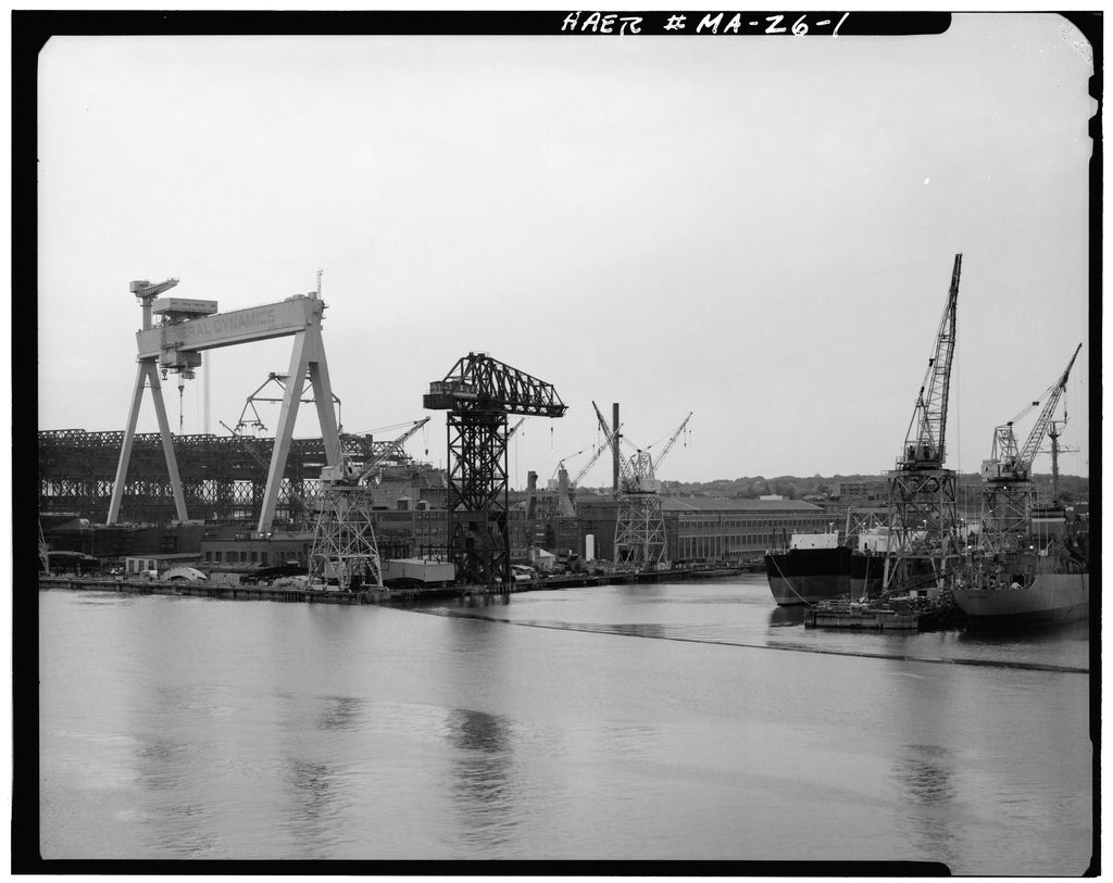
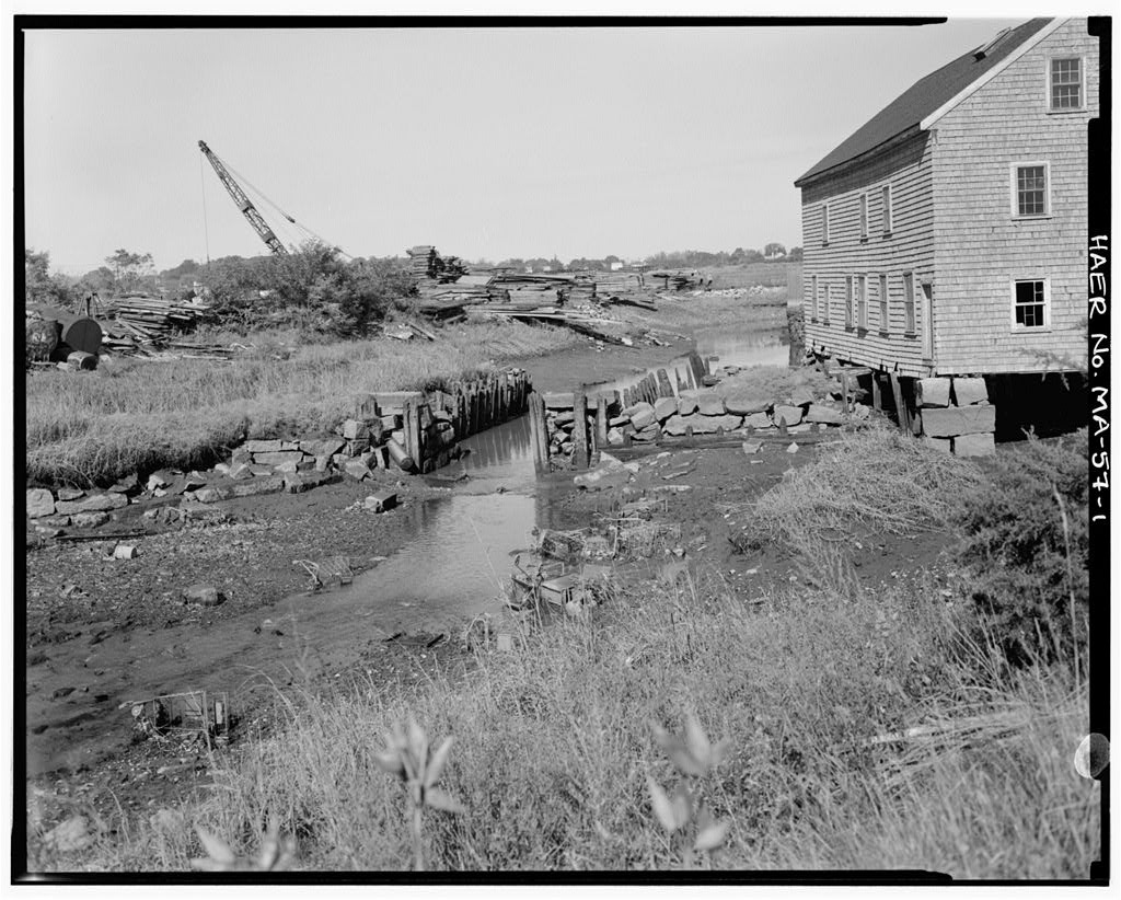
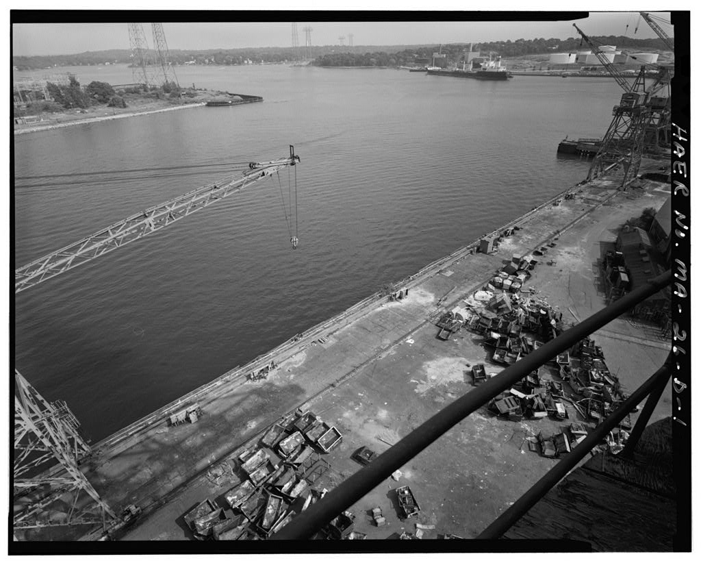
Outfitting Pier 2 (Pier 2S) IIAER No. MA-26-C (Page 3) Description Outfitting Pier 2 of the General Dynamics Corporation/Quincy-Fore Shipyard is located in the north east waterfront section of the shipyard. Its north side is watered by a wet basin artificial inlet of the Fore River and formerly by Bent's Creek. Its east end abuts Pier 3; its west end filled upland, formerly Bent Creek; and its south side filled land, formerly a wet basin area. Pier 2 was originally constructed between and as a bulkhead and pier along the south side of Bent's Creek at its mouth.
Maps indicate that the pier's initial size and shape remain essentially unchanged (Branch This early structure was constructed of timber pilings and cribbing supporting concrete foundations for gantry crane rails along its eastern 280 feet. It had a 127-foot long granite block masonry bulkhead wall approximately on a line with the northeast corner of the Machine Shop. The deck surface was wood planks, although portions may have been concrete. In the masonry bulkhead was extended 180 feet to the east. The construction of this new section consisted of a granite block outshore wall 34 feet wide at the base tapering to 8 feet wide at the top with a 6x8-foot crane rail foundation. The inshore wall was timber piles supporting an 11-foot high foundation.
The area between the walls was filled with sand and gravel. The purpose of this improvement appears to have been to permit full use of the dock by the gantry crane. The pier structure was substantially rebuilt in and its present structural system dates largely from that time, although the granite wall section remains. The pier is 806 feet long. The western 475-foot section is 65 feet wide and the eastern section is 90 feet wide. At the east angled end the northeast corner is laid at an acute angle of 70 degrees and the southeast corner at an obtuse angle of 115 degrees. The substructure consists of 410 steel bearing piles with a bracing structure of 53 main transverse beams, or bents, and 563 steel stringer beams.
Bents are spaced in rows 16 feet apart and carry saddle beam supports for stringer beams with riveted end connections. Pile cap plates and expansion joints above the bents support the 10-inch-thick, reinforced concrete deck. Two sections of the substructure differ from this typical arrangement. These are the approximately 300-foot long and granite bulkhead, which now carries an upper section of concrete retaining wall from the top granite course to the deck, and the Hammerhead Crane foundation. The Hammerhead Crane reinforced concrete foundation dates from the installation of the crane in It was tied with anchor bolts to and supported the surrounding bent and stringer structure of the pier. The square feet of pier area decking was designed to carry loads of 500 lbs per square foot.
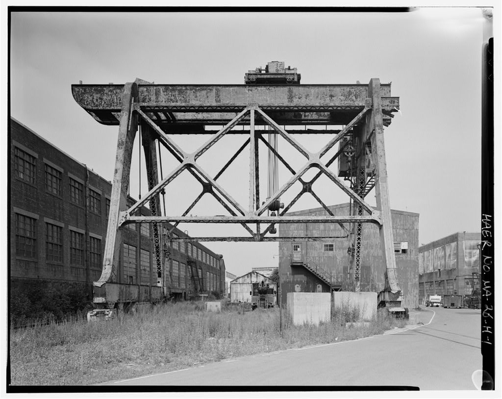
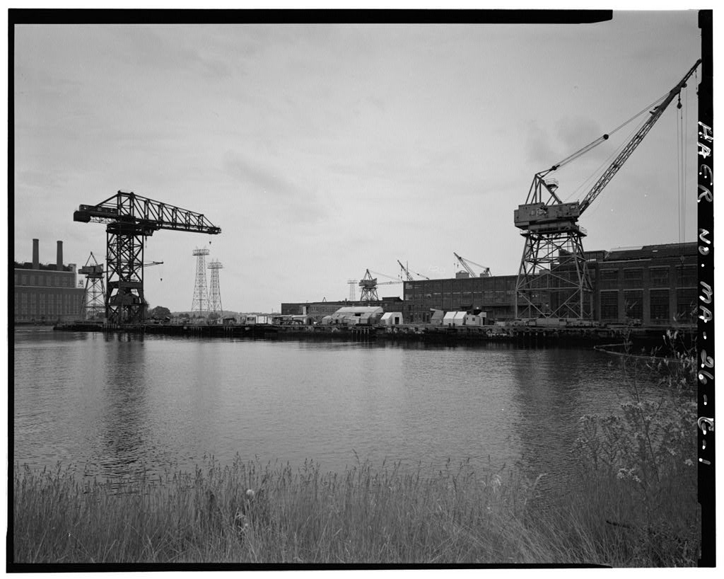
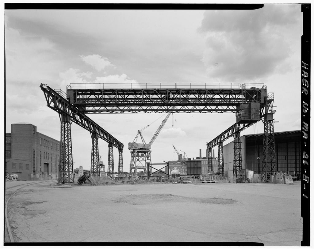
Utilities located along the outshore (north) side of the pier's surface included 3 inch steam pipe, 2.5 inch industrial water, 4 inch metropolitan water, 3 inch air, and and 180 V.A.C. electrical (Yard Plans The major surface features of the pier deck are cranes, rails, and iron double bitts (bollards) of varying types. A spur of the Fore River Railroad double track runs the full length of the pier along its inshore, south side. South of the railroad track is the southern crane track for the 75-ton GENERAL DYNAMICS CORPORATION SHIPYARD iHrioiiriiinV Outfitting Pier 2 (Pier 2S) HAER No. MA-26-C (Page 4) Wellman-Seaver Gantry Crane of The oldest crane in the shipyard, it was installed at the time Outfitting Pier 2 was originally constructed. The crane now sits west of Pier 2.
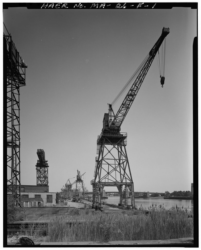
Running along the northern-central section of the Pier are crane tracks for a 37.5-ton American Revolving Crane which sits on the Pier itself. The northern American Crane track is in fact the northern of the Wellman-Seaver's Crane tracks. These tracks terminate at the west side of the Hammerhead Crane. An additional steel plate railbed (track removed) is located along the north edge of the pier. The stationary 120-ton McMyler Hammerhead Crane (Structure see HABS No. MA-26-G) was originally built in elsewhere and installed at the eastern end of Pier 2 in Conditions The steel piling and steel structure supporting the concrete deck of Pier 2 were repaired in In the pier bearing piles were found to be deteriorated and gantry crane movement was restricted (General Dynamics File Memo).
Since that time, a portion of the deck at the east end has collapsed. The pier is in generally fair condition with certain areas in poor condition. Historical Significance Outfitting Pier 2 is the oldest of what came to be a total of four outfitting piers at the Quincy- Fore Shipyard. Its significance lies primarily in its role in shipbuilding as an integral component of the assembly and outfitting processes. It functioned as such under Fore River Ship and Engine Company, Bethlehem Steel Company, and General Dynamics Corporation ownership.
In the final outfitting phase of construction, the quality of previous work was checked, deck elements, deck paint, and interior mechanical elements and finishes were installed, and the main and auxiliary propulsion machinery were usually tested prior to sea trials (Arnott Throughout the shipyard's more than eighty year history from to as one of the leading private shipyards in the United States, numerous military and merchant vessels were outfitted at Pier 2. Pier 2's structural record reflects the evolvement of the Quincy-Fore Shipyard and improvements in marine engineering technology in the first half of the twentieth century. GENERAL DYNAMICS CORPORATION SHIPYARD Addendum Outfitting Pier 2 (Pier 2S) HAER No.
MA-26-C (Page 5) Bibliography Arnott, David, editor Design and Construction of Steel Merchant Ships. New York: The Society of Naval Architects and Marine Engineers, Bethlehem Steel Company Yard Plans Sheets 4,4A, Boston Affiliates, Inc. Quincv-Fore River Shipyard Historic Resources Survey and Addendum. Prepared for Massachusetts Water Resources Authority, October 20, and January 2, Branch, Ernest W. Atlas of the City of Ouincy, Norfolk County. Massachusetts. Boston/Quincy General Dynamics Corporation File Records located at Shipyard, General Dynamics Corporation Yard Plans Sheets 4, 4A, revised to GENERAL DYNAMICS CORPORATION SHIPYARD Outfitting Pier 2 (Pier 2S) HAER No.
MA-26-C (Page 6) Location Map ADDENDUM TO: HAER MA-26-C GENERAL DYNAMICS CORPORATION SHIPYARD, OUTFITTING HAER MASS,11-QUI,10C- PIER NO. 2 (Pier No. 2S) 97 East Howard Street Quincy Norfolk County Massachusetts FIELD RECORDS HISTORIC AMERICAN ENGINEERING RECORD National Park Service U.S. Department of the Interior C Street NW Washington, DC
 Block
Block