 Block
From the record
203 National Register listings published here.
Sources: the National Register database, National Park Service
101 topographic sheets cover 88 settlements here, and 203 properties are on the National Register of Historic Places.
203 National Register listings published here.
Sources: the National Register database, National Park Service
Every property in this county listed on the National Register of Historic Places, with the year it was listed and the federal nomination document.
| Photograph | Property | Type | Listed | Reference |
|---|---|---|---|---|
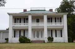 | William Thomas Abington House | building | 1992 | 91001350 |
| Ackins House | building | 1992 | 91001322 | |
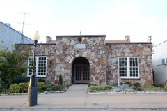 | American Legion Hall | building | 1991 | 91001186 |
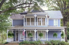 | Col. Ralph Andrews House | building | 1991 | 91001253 |
| Arnold Farmstead | building | 1991 | 91001187 | |
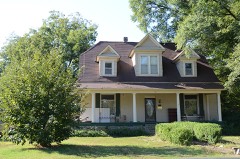 | Baldock House | building | 1991 | 91001239 |
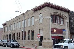 | Bank of Searcy | building | 1991 | 91001228 |
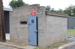 | Beebe Jail | building | 1991 | 91001251 |
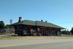 | Beebe Railroad Station | building | 1979 | 79000465 |
| Beebe Theater | building | 1991 | 91001265 | |
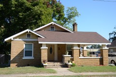 | Bell House | building | 1991 | 91001201 |
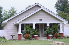 | Berry House | building | 1991 | 91001262 |
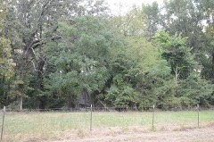 | Big Four School | building | 1992 | 91001192 |
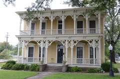 | Benjamin Clayton Black House | building | 1974 | 74000505 |
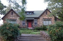 | Bloom House | building | 1991 | 91001176 |
| Blunt House Livestock Barn | building | 1992 | 91001363 | |
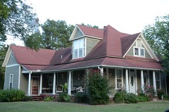 | James William Boggs House | building | 1991 | 91001298 |
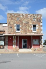 | Luke Bone Grocery-Boarding House | building | 1991 | 91001275 |
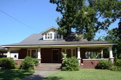 | Green Booth House | building | 1991 | 91001202 |
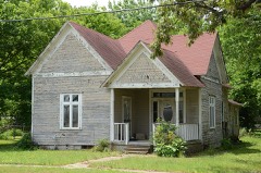 | Booth-Weir House | building | 1991 | 91001345 |
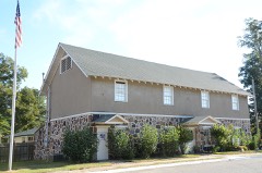 | Bradford City Hall-Byers Masonic Lodge | building | 1999 | 99001260 |
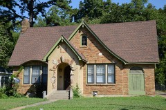 | Brooks House | building | 1992 | 91001217 |
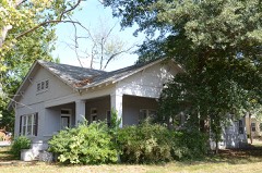 | Brown House | building | 1991 | 91001268 |
| Joe Brown House and Farmstead | building | 1991 | 91001338 | |
| Burnett House | building | 1992 | 91001337 | |
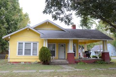 | Caldwell House | building | 1991 | 91001347 |
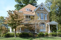 | Campbell-Chrisp House | building | 1991 | 91001280 |
| Leslie and Anamiece Carmichael House | building | 2022 | 100008145 | |
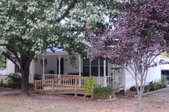 | Cary House | building | 1992 | 91001293 |
| Chandler House | building | 1992 | 91001310 | |
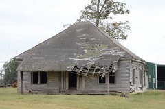 | Childers Farmstead | building | 1992 | 91001349 |
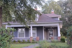 | Churchill-Hilger House | building | 1991 | 91001301 |
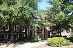 | Pattie Cobb Hall | building | 1991 | 91001209 |
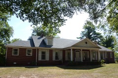 | Collison House | building | 2008 | 08000489 |
| Sam Cooley Barn | building | 1992 | 91001282 | |
| Coward House | building | 1992 | 91001229 | |
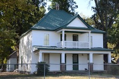 | Cremane House | building | 1992 | 91001320 |
| Critz, Col. John, Farm, Springhouse | structure | 1992 | 91001333 | |
| Cross House | building | 1992 | 91001259 | |
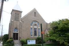 | Cumberland Presbyterian Church | building | 1992 | 91001225 |
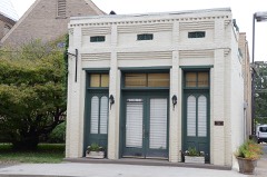 | Jesse N. Cypert Law Office | building | 1992 | 91001179 |
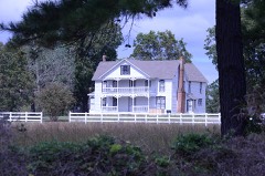 | Darden-Gifford House | building | 1976 | 76000474 |
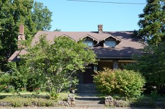 | Deener House | building | 1982 | 82000957 |
| Department of Labor Employment Security Division Office | building | 2022 | 100008146 | |
| Doniphan Lumber Mill Historic District | district | 1991 | 91001196 | |
| David Doyle House No. 2 | building | 1991 | 91001302 | |
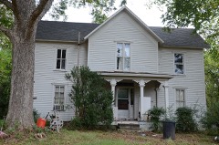 | James W. Edie House | building | 1991 | 91001189 |
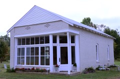 | El Paso Bank | building | 1991 | 91001303 |
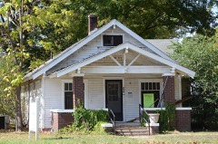 | Elm Street House | building | 1991 | 91001269 |
| Joe Emmer House | building | 1992 | 91001327 | |
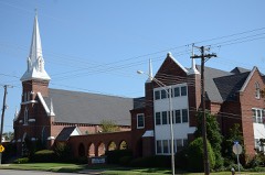 | First United Methodist Church | building | 1992 | 91001206 |
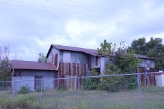 | Floyd Cotton Gin | building | 1992 | 91001324 |
| Fox Motel House | building | 1992 | 91001267 | |
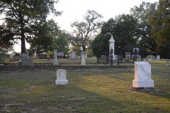 | Fredonia Cemetery Historic Section | site | 2007 | 06001312 |
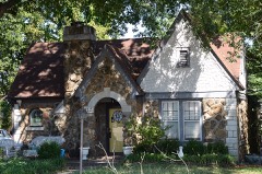 | Wood Freeman House No. 1 | building | 1991 | 91001185 |
| Wood Freeman House No. 2 | building | 1991 | 91001181 | |
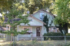 | Dr. Frizell House | building | 1992 | 91001318 |
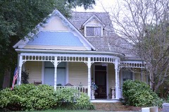 | Lizzie Garrard House | building | 1991 | 91001263 |
| Milt Gooden House | building | 1992 | 91001281 | |
| Gordon, Leonard, Homestead, Hexagonal Grain Crib | building | 1992 | 91001311 | |
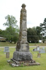 | Grand Army of the Republic Memorial | object | 1996 | 96000502 |
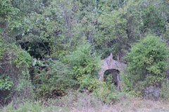 | Gravel Hill Baptist Church | building | 1992 | 91001323 |
 | Gray House | building | 1992 | 91001334 |
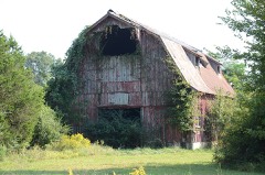 | Gray, Louis, Homestead, Barn | building | 1992 | 91001194 |
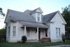 | Rufus Gray House | building | 1991 | 91001294 |
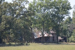 | Gray-Kincaid House | building | 1992 | 91001335 |
| Griffithville School | building | 1992 | 91001357 | |
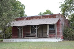 | Thomas Jefferson Hale General Merchandise Store | building | 1992 | 91001358 |
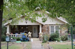 | Hall, Fred, House | building | 1991 | 91001222 |
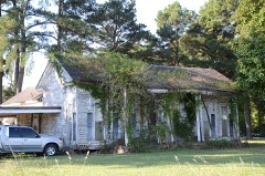 | Mary Alice Hammond House | building | 1992 | 91001204 |
| Roy Harper House | building | 1992 | 91001304 | |
| Morris Hartsell Farmstead | building | 1991 | 91001340 | |
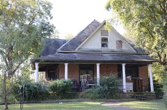 | Hassell House | building | 1991 | 91001205 |
| Brady Hays Homestead | building | 1991 | 91001312 | |
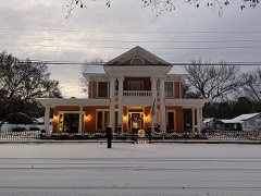 | Alfred W. Henson House | building | 1986 | 86002938 |
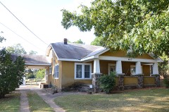 | Marshall Hickmon Homestead | building | 1992 | 91001317 |
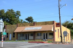 | U. L. Hickmon Hardware Store | building | 1991 | 91001316 |
| Ida Hicks House | building | 1991 | 91001180 | |
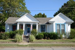 | Hicks-Dugan-Deener House | building | 1985 | 85000835 |
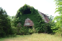 | Hilger, Louis N., Homestead, Livestock Barn | building | 1992 | 91001191 |
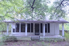 | Hill Farm | building | 1992 | 91001258 |
| Hoag House | building | 1992 | 91001236 | |
| Holly Grove School | building | 1992 | 91001309 | |
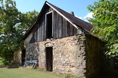 | Hoofman Farmstead Barn | building | 1992 | 91001188 |
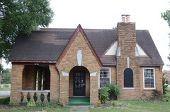 | Arthur W. Hoofman House | building | 1992 | 91001184 |
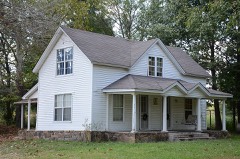 | Tobe Hoofman Farmstead | building | 1992 | 91001238 |
| Hopewell District No. 45 School | building | 1992 | 91001283 | |
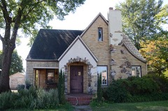 | Hunt House | building | 1991 | 91001207 |
| Thomas Hunt House | building | 1992 | 91001193 | |
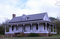 | L. D. Hutchinson House | building | 1992 | 91001325 |
| Dr. James House | building | 1991 | 91001241 | |
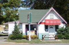 | Jameson-Richards Cafe | building | 1991 | 91001266 |
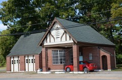 | Jameson-Richards Gas Station | building | 1991 | 91001279 |
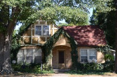 | Joiner House | building | 1992 | 91001214 |
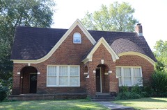 | Mark P. Jones House | building | 1991 | 91001197 |
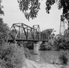 | Judsonia Bridge | structure | 1990 | 90000535 |
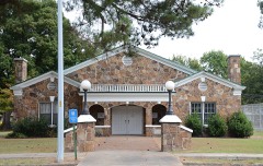 | Judsonia Community Building Historic District | district | 1991 | 91001234 |
| Judsonia High School Gymnasium | building | 91001232 | ||
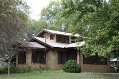 | C. D. Kelly House | building | 1991 | 91001190 |
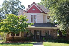 | Kerr-Booth House | building | 2006 | 06000076 |
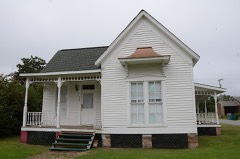 | S. A. Kimbrough House | building | 1991 | 91001252 |
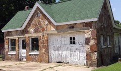 | Henry W. Klotz Sr. Service Station | building | 1991 | 91001273 |
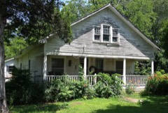 | Henry Klotz Sr. House | building | 1992 | 91001285 |
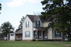 | Capt. Larned House | building | 1992 | 91001235 |
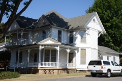 | Lattimer House | building | 1991 | 91001215 |
 | Laws-Jarvis House | building | 1992 | 91001256 |
| Harvey Lea House | building | 1992 | 91001270 | |
| Leggett House | building | 1992 | 91001339 | |
| Lemay House | building | 1992 | 91001254 | |
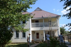 | Letona Hotel | building | 1991 | 91001329 |
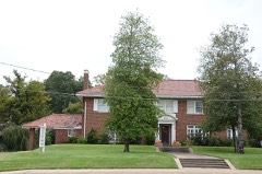 | Lightle House | building | 1982 | 82000958 |
| Lightle House | building | 1991 | 91001244 | |
| Lightle House | building | 1992 | 91001224 | |
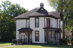 | Ben Lightle House | building | 1991 | 91001216 |
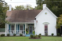 | William H. Lightle House | building | 1991 | 91001226 |
| Jim Little House | building | 1991 | 91001315 | |
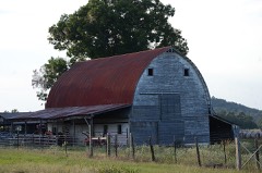 | Livestock and Equipment Barn, Glenn Homestead | building | 1992 | 91001287 |
| Lone Star School | building | 1992 | 91001355 | |
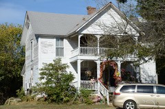 | Dr. Lovell House | building | 1992 | 91001314 |
| E. D. Maddox Farm Chicken House | building | 1992 | 91001359 | |
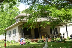 | Walter Marsh House | building | 1991 | 91001288 |
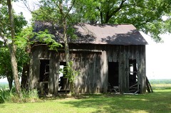 | Wesley Marsh House | building | 1992 | 91001328 |
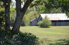 | Martindale Corn Crib | structure | 1992 | 91001330 |
| Mason House | building | 1992 | 91001319 | |
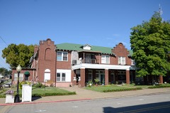 | Mayfair Hotel | building | 1991 | 91001242 |
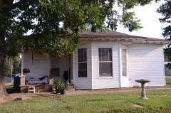 | McAdams House | building | 1991 | 91001289 |
| Dr. McAdams House | building | 1991 | 91001300 | |
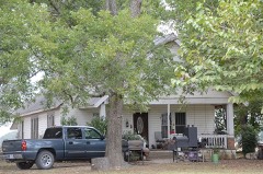 | Emmett McDonald House | building | 1992 | 91001368 |
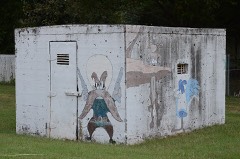 | McRae Jail | building | 1992 | 91001344 |
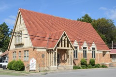 | Methodist Episcopal Church, South | building | 1992 | 91001278 |
| Emmett Miller House | building | 1992 | 91001237 | |
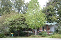 | Mills House | building | 1991 | 91001220 |
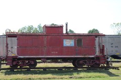 | Missouri Pacific Railway Caboose #928 | structure | 2011 | 11000303 |
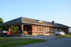 | Missouri-Pacific Depot | building | 1992 | 91001276 |
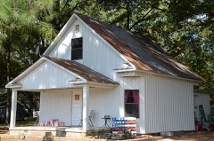 | Moody House | building | 1992 | 91001277 |
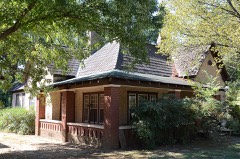 | Moore House | building | 1991 | 91001210 |
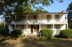 | Morris House | building | 1978 | 78000641 |
| Morris Institute Dairy Barn | building | 1992 | 91001332 | |
| Mount Olive-Bedford Chapel Cemetery | site | 2019 | 100003997 | |
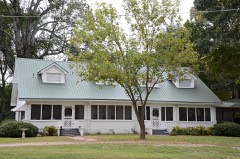 | J. A. Neaville House | building | 1992 | 91001356 |
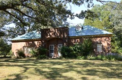 | New Mt. Pisgah School | building | 1992 | 91001331 |
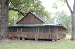 | Nimmo Clubhouse | building | 1992 | 91001360 |
| Howard O'Neal Barn | building | 1992 | 91001286 | |
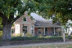 | Austin Pangburn House | building | 1991 | 91001290 |
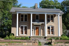 | Paschall House | building | 1991 | 91001203 |
| Patman House | building | 1991 | 91001292 | |
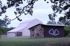 | Pence-Carmichael Farm, Barn and Root Cellar | building | 1992 | 91001305 |
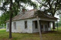 | Plummer House | building | 1992 | 91001247 |
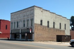 | Powell Clothing Store | building | 1991 | 91001249 |
| Prince House | building | 1992 | 91001307 | |
| Ransom, Edward, Farmstead, Livestock and Equipment Barn | building | 1992 | 91001361 | |
| Rascoe House | building | 1992 | 91001213 | |
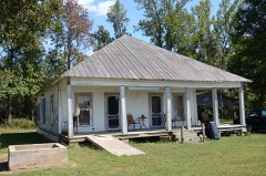 | Sam Ray House | building | 1992 | 91001296 |
| J. C. Rhew Co. Packing Shed | building | 1992 | 91001343 | |
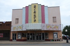 | Rialto Theater | building | 1991 | 91001231 |
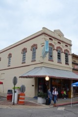 | Robertson Drugstore | building | 1991 | 91001245 |
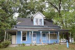 | Robertson House | building | 1991 | 91001221 |
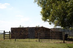 | Rock Building | building | 1992 | 91001195 |
| Porter Rodgers Sr. House | building | 1991 | 91001230 | |
| Bob Rogers House | building | 1991 | 91001219 | |
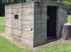 | Russell Jail | building | 1992 | 91001271 |
| Scott-Davis House | building | 1992 | 91001306 | |
| Searcy Commercial Historic District | district | 2024 | 100010831 | |
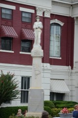 | Searcy Confederate Monument | object | 1996 | 96000458 |
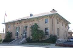 | Searcy Post Office | building | 1992 | 91001200 |
| Dean L. C. Sears House | building | 1992 | 91001208 | |
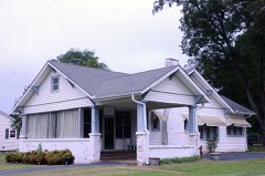 | Sellers House | building | 1991 | 91001261 |
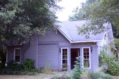 | Shue House | building | 1991 | 91001257 |
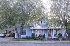 | John Shutter House | building | 1991 | 91001299 |
| Stanley Simpson Farmstead Picking Shed | structure | 1991 | 91001342 | |
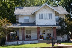 | Smith House | building | 1991 | 91001218 |
| A. J. Smith House | building | 1991 | 91001223 | |
| Smith-Moore House | building | 1992 | 91001246 | |
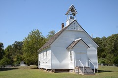 | Smyrna Methodist Church | building | 1992 | 91001336 |
| Dr. Emmett Snipes House | building | 1991 | 91001243 | |
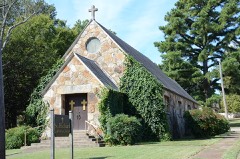 | St. Richard's Catholic Church | building | 1992 | 91001274 |
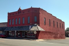 | Staggs-Huffaker Building | building | 1991 | 91001250 |
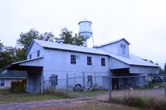 | Stipe Cotton Gin | building | 1992 | 91001248 |
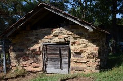 | Storm Cellar, William Howell House | building | 1992 | 91001295 |
| Thomas House | building | 1992 | 91001326 | |
| Thompson House | building | 1992 | 91001341 | |
| John Thrasher Homestead | building | 1992 | 91001362 | |
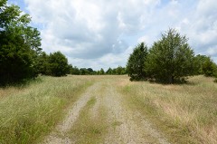 | Titan II ICBM Launch Complex 373-5 Site | site | 2000 | 00000100 |
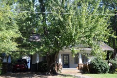 | Titus House | building | 1991 | 91001240 |
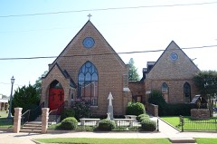 | Trinity Episcopal Church | building | 1992 | 91001199 |
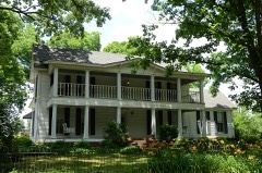 | Walker Homestead Historic District | district | 1992 | 91001351 |
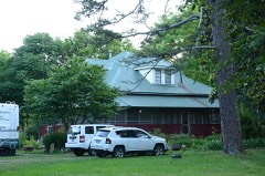 | Otha Walker Homestead | building | 1992 | 91001354 |
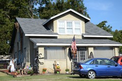 | Ward-Stout House | building | 1991 | 91001313 |
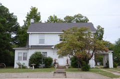 | Watkins House | building | 1991 | 91001182 |
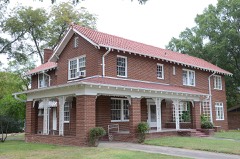 | Tom Watkins House | building | 1991 | 91001183 |
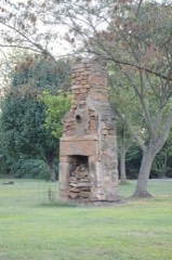 | William Henry Watson Homestead | building | 1992 | 91001308 |
| Weber House | building | 1991 | 91001272 | |
| Albert Whisinant House | building | 1992 | 91001297 | |
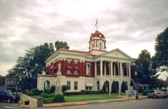 | White County Courthouse | building | 1977 | 77000279 |
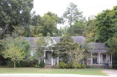 | Wilburn House | building | 1991 | 91001177 |
| Williams House | building | 1992 | 91001353 | |
| Williams, Arthur, Homestead, Feed Storage Shed | building | 1992 | 91001321 | |
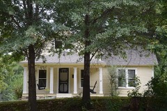 | Jack Wood House | building | 1989 | 89001939 |
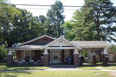 | Arthur W. Woodson House | building | 1991 | 91001211 |
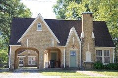 | Dalton Woodson House | building | 1991 | 91001212 |
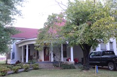 | Avanell Wright House | building | 1991 | 91001291 |
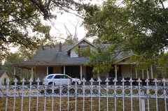 | Jim Wright Farmstead Historic District | district | 1991 | 91001284 |
Every wildfire the federal occurrence database records inside this county: 712 of them, burning about 12,545 acres. 12 started naturally and 170 were recorded as arson. Each settlement page carries the fires within five miles of it.
| Reported cause | Fires |
|---|---|
| Debris and open burning | 276 |
| Missing data/not specified/undetermined | 182 |
| Arson/incendiarism | 170 |
| Equipment and vehicle use | 49 |
| Smoking | 15 |
| Natural | 12 |
| Misuse of fire by a minor | 4 |
| Recreation and ceremony | 4 |
The five largest, by the area the report gives. One of them was set deliberately.
| Date | Cause | Size | Reported by | Name on the report |
|---|---|---|---|---|
| 14 February 2015 | Debris and open burning | 213 acres | Arkansas Forestry Commission | not named |
| 16 March 2013 | Missing data/not specified/undetermined | 150 acres | Arkansas Forestry Commission | WHITE 1 |
| 3 February 2017 | Missing data/not specified/undetermined | 145 acres | Arkansas Forestry Commission | not named |
| 3 July 2012 | Misuse of fire by a minor | 140 acres | Arkansas Forestry Commission | BALD KNOB |
| 14 March 2000 | Debris and open burning | 135 acres | Arkansas Forestry Commission | not named |
| 13 March 2005 | Arson/incendiarism | 124 acres | Bald Knob National Wildlife Refuge | DITCH 13 |
| 10 March 2009 | Debris and open burning | 110 acres | Arkansas Forestry Commission | BALD KNOB |
| 8 November 2010 | Debris and open burning | 105 acres | Arkansas Forestry Commission | not named |
Every settlement page carries the fires within five miles of it - see the settlement index below.
The NOAA Storm Events Database holds 928 reports for this county, causing 61 deaths, 454 injuries and about $46,200,700 in recorded property damage. Each settlement page carries the reports that name it.
| Kind of event | Reports |
|---|---|
| Thunderstorm Wind | 359 |
| Hail | 263 |
| Flood | 107 |
| Flash Flood | 87 |
| Tornado | 83 |
| Lightning | 14 |
| Heavy Rain | 11 |
| Funnel Cloud | 4 |
The most serious of them, by death, then injury, then recorded damage. The accounts are quoted exactly as the forecast office filed them.
| When | Event | Place named | Harm | What the report says |
|---|---|---|---|---|
| March 1952 | Tornado (F4) | not stated | 50 killed, 325 hurt, $2,500,000 | no account filed |
| January 1999 | Tornado (F3) | Beebe | 2 killed, 29 hurt | no account filed |
| May 1961 | Tornado (F2) | not stated | 2 killed, 6 hurt, $250,000 | no account filed |
| January 1999 | Tornado (F2) | Floyd | 2 killed, 2 hurt | no account filed |
| November 1973 | Tornado (F2) | not stated | 1 killed, 8 hurt, $250,000 | no account filed |
| March 1959 | Tornado (F3) | not stated | 1 killed, 3 hurt, $250,000 | no account filed |
| April 2011 | Thunderstorm Wind | Bald Knob Muni Arpt | 1 killed, 3 hurt, $30,000 | A 6 year-old boy was killed when a tree more than 6 feet in diameter fell into a house. The boy's parents and a sibling suffered minor injuries. |
| January 1999 | Tornado (F2) | Sunnydale | 1 killed, 2 hurt | no account filed |
| April 2014 | Tornado (EF2) | El Paso | 1 killed, 1 hurt, $450,000 | This tornado exited Faulkner County 4.6 miles southeast of Naylor and entered White County 2.2 miles west-northwest of El Paso. The tornado caused massive timber damage along Jack Williams Rd., then caused damage to residences on Arkansas 5 and El Paso Rd. In White County, two houses and a mobile home were destroyed, another house had major damage, two had minor damage, and one was affected. A 55-year-old woman was killed in a mobile home on El Paso Rd. and one other person was injured. |
| March 1997 | Tornado (F2) | Velvet Ridge | 14 hurt, $20,000 | no account filed |
| December 1982 | Tornado (F3) | not stated | 7 hurt, $2,500,000 | no account filed |
| December 1982 | Tornado (F2) | not stated | 5 hurt, $250,000 | no account filed |
| March 1997 | Tornado (F3) | El Paso | 5 hurt, $50,000 | no account filed |
| May 2003 | Tornado (F3) | El Paso | 5 hurt | A strong tornado moved from Lonoke County into White County about 4 miles southeast of El Paso. The tornado moved across Highway 64 where several homes and businesses were destroyed with a number of other buildings suffering significant damage. Two tractor-trailers traveling along Highway 64 were hit by the tornado and overturned. The drivers of both vehicles suffered minor injuries. As the tornado continued moving to the northeast, numerous other homes and other buildings were either damaged or destroyed. A number of vehicles were also damaged or destroyed. Widespread trees and power poles were blown down along the track of the tornado. Some of the downed trees were 3 to 4 feet in diameter. |
| November 1973 | Tornado (F1) | not stated | 4 hurt, $250,000 | no account filed |
| February 2017 | Tornado (EF1) | Morning Star | 4 hurt, $50,000 | This tornado was rated EF1 with winds estimated at 110 MPH. The tornado tracked 1.5 miles and had a width of 120 yards. There were four injuries. |
| November 2020 | Tornado (EF1) | Romance | 4 hurt, $40,000 | The NWS survey revealed an EF1 tornado that started just west of Wayne |Walker Road, rolling a mobile home. Another mobile home was severely damaged off Highland Circle just to the east. Along R. G. Davis Road, a double-wide mobile home was pushed off the block foundation. A mobile home along Reames Road sustained roof damage. Other than damage to mobile homes, several trees were either snapped or uprooted along the path. This tornado lifted just southeast of the intersection of Reames and Blackjack Mountain Road. There were four injuries reported. |
| May 1960 | Tornado (F2) | not stated | 3 hurt, $2,500,000 | no account filed |
| February 2009 | Thunderstorm Wind | Letona | 3 hurt, $750,000 | Numerous trees and power lines were down. Trees also damaged a number of motor vehicles. One mobile home and two recreational vehicles were overturned. Numerous homes sustained roof damage. There were three injuries. |
| November 2001 | Tornado (F2) | Antioch | 3 hurt | A strong tornado was spawned in southwest White County. The tornado first touched down about 4.5 miles southwest of Antioch and traveled to the northeast. The most extensive damage was 5 to 6 miles southwest of Searcy where a house had shifted off of its foundation by as much as 10 to 15 feet. Also, a small house and a trailer were destroyed, and another trailer was flipped over. Up to two dozen other structures suffered some damage, mostly roof damage. Numerous trees were also blown down along the path of the tornado. Three people sustained injuries. The tornado eventually dissipated 2.8 miles southwest of Searcy. |
| March 2010 | Tornado (EF1) | Center Hill | 2 hurt, $950,000 | Emergency management reports indicated one home and two mobile homes were destroyed, three homes received major damage, and 16 homes received minor damage. Two chicken houses had roof damage. One business, which repaired cars and farm equipment, was destroyed. A fire station and church suffered damage. Trees and power lines were knocked down. Two people received minor injuries. |
| December 1982 | Tornado (F3) | not stated | 2 hurt, $250,000 | no account filed |
| February 1960 | Tornado (F1) | not stated | 2 hurt, $25,000 | no account filed |
| April 2010 | Lightning | Judsonia | 2 hurt | Two teenagers were injured by lightning in an old storm shelter behind a residence in Judsonia. The victims were a female 13 years old and a male 18 years old. They were sitting on metal chairs when they were injured. |
| January 1999 | Tornado (F3) | Sunnydale | 2 hurt | no account filed |
| July 1996 | Lightning | Pangburn | 2 hurt | no account filed |
| April 2014 | Tornado (EF2) | Joy | 1 hurt, $1,400,000 | An EF2 tornado struck the area around Center Hill. This was the second of five tornadoes produced by the same supercell thunderstorm. According to the American Red Cross, 4 houses and 11 mobile homes were destroyed, 4 mobile homes suffered major damage, 5 houses and 3 mobile homes had minor damage, and 2 houses and 3 mobile homes were affected. Numerous trees were blown down, and vehicles and outbuildings were destroyed. One person was injured. |
| February 2017 | Tornado (EF2) | Kensett | 1 hurt, $70,000 | This tornado was rated EF2 with winds estimated at 115 MPH. There was damage to several homes as well as small shops and outbuildings. Some homes had exterior walls collapsed. |
| July 2009 | Lightning | Judsonia | 1 hurt | A 52 year-old woman was injured by lightning while selling melons at a roadside stand. She was holding onto a metal post supporting a tent-like canopy when the lightning struck. |
| August 2002 | Lightning | Searcy | 1 hurt | no account filed |
| July 1996 | Lightning | Romance | 1 hurt | no account filed |
| August 1986 | Thunderstorm Wind | not stated | 1 hurt | no account filed |
| May 2011 | Flood | Hickory Flat | $7,000,000 | Part of U.S. Highway 67/167 was closed due to flooding near Beebe. Arkansas Highway 36 also flooded, making Georgetown accessible only by boat. Part of the Henry Gray Hurricane Lake Wildlife Management Area was closed due to flooding. Flooding in White County continued into June. |
| March 2008 | Flood | Nortons Corner | $5,000,000 | Heavy rain caused the White River at Georgetown to go above major flood level. This was the highest the river had risen since the two major flood reduction reservoirs were built in the middle of the twentieth century. The river was above minor flood level to start the event and continued to rise due to heavy rains. Some surrounding fields had six or seven feet of water in them. The communities of Georgetown and Nimmo were cut off for more than a month, when backwaters from the White River covered Arkansas Highway 36 between West Point and Georgetown. During this time, the only access to the area was by boat. Homes and cabins in the Nimmo community were either cut off by high water or flooded. As many as 30 homes were damaged in Georgetown and Nimmo. Agricultural losses to winter wheat were noted. The flooding continued into April. |
| December 1982 | Tornado (F3) | not stated | $2,500,000 | no account filed |
| April 1980 | Tornado (F2) | not stated | $2,500,000 | no account filed |
| April 2011 | Flood | Hickory Flat | $2,250,000 | Widespread areal flooding occurred. Part of Arkansas Highway 36 was closed from the morning of the 30th through the end of the month. |
| December 2009 | Flood | Rose Bud | $2,000,000 | Flash flooding, which developed early on the morning of the 24th, became widespread areal flooding later in the morning on the 24th and continued into Christmas morning. Flooding occurred on Arkansas Highways 87, 13, 323, 36, 11, and 16. Arkansas Highway 31 was flooded from Beebe to Lonoke, and from Floyd to Romance. Lake Barnett went over its banks, washing over Arkansas Highway 31 and the bridge at Gravel Hill. Two 80 year-old bridges were washed out at Vinity Corner. |
| December 2009 | Flash Flood | Rose Bud | $2,000,000 | Widespread heavy rain led to the development of flash flooding early on the morning of the 24th. |
| March 2008 | Flood | Judsonia | $2,000,000 | Flooding occurred on the Little Red River at Judsonia due to heavy rain. The river briefly went below flood stage on March 20th through the 22nd, but rose back above flood stage on the morning of the 22nd. Levees protecting the Bald Knob National Wildlife Refuge were overtopped. Numerous county roads were flooded and Arkansas Highway 36 was flooded just east of West Point. Some homes and recreational cabins and trailers were flooded near West Point. It is hard to delineate between the Little Red River flooding and backwater effects from the more substantial White River flooding downstream. While the crest at Judsonia was within minor flood criteria, the impacts were more than minor only a couple of miles downstream. There were some winter wheat losses in the area and pastures were flooded for a prolonged period of time. |
| April 2011 | Tornado (EF1) | Stony Pt | $1,000,000 | The tornado knocked down or snapped off hundreds of trees. Many houses suffered roof damage, primarily from falling trees. Damage to roofs also occurred at the Beebe schools. Roofs were blown off several outbuildings, a few cars were crushed by falling trees, and quite a few power lines were blown down. The greatest amount of damage occurred in Beebe. |
| March 2008 | Flood | Bradford | $500,000 | While minor river flooding was ongoing at the beginning of the month, the White River at the Augusta gage rose to highest levels since completion of the large flood control reservoirs in the mid twentieth century. Along the White River, about a dozen homes and recreational cabins flooded near Green Tom Lake and along the riverbank at U.S. Highway 64. Numerous county roads in the floodplain were inundated and some winter wheat was lost. The flooding in this reach of the White River continued into April. |
| December 2009 | Flood | Beebe | $400,000 | Flooding caused water to enter 22 homes in the Windwood Addition. Evacuations were necessary. Nearby, a railroad trestle was washed out on the mainline between Little Rock and St. Louis. |
| April 2010 | Tornado (EF1) | Beebe | $375,000 | This tornado exited Lonoke County north-northeast of Jacksons Store and entered White County southeast of Beebe. A Red Cross survey indicated the following damage in White County: two houses and one mobile home were destroyed, two houses had major damage, one house and two mobile homes had minor damage, and two other houses were affected. Numerous trees were blown down. |
| October 2009 | Flash Flood | Rose Bud | $325,000 | Arkansas Highways 157, 124, 13, 16, 31, 36, and 87 were flooded, as were numerous county roads. |
| April 2011 | Tornado (EF1) | Hammonsville | $300,000 | The tornado exited Faulkner County south of Mount Vernon and entered White County west of Hammonsville. In White County, the tornado knocked trees down onto houses, damaged the roofs of houses, destroyed barns and outbuildings, overturned a recreational vehicle and the trailer portion of a tractor-trailer, and blew down hundreds of trees. The tornado finally dissipated north of Joy, after having remained on the ground for more than 50 miles. |
| October 2009 | Flood | Rose Bud | $300,000 | Flash flooding which began on the 29th became widespread areal flooding on the 30th. Water entered 15 homes in the Wildwood Subdivision in Beebe when water overflowed from a swamp. Firefighters had to carry two small children through knee-deep water after the water surrounded their house. |
| March 1992 | Tornado (F1) | not stated | $250,000 | no account filed |
| March 1961 | Tornado (F2) | not stated | $250,000 | no account filed |
| April 2014 | Thunderstorm Wind | Letona | $200,000 | According to the American Red Cross, two mobile homes were destroyed, two houses and one mobile home suffered major damage, six houses and two mobile homes had minor damage, and one house was affected. In addition, trees and power lines were blown down. |
| April 2010 | Tornado (EF1) | Kensett | $200,000 | This was the fourth of five tornadoes spawned by the same supercell thunderstorm. Roofs of residences and outbuildings were damaged. Numerous trees were blown down. |
| April 2008 | Flood | Bradford | $150,000 | Major flooding levels were repeated in April at the Augusta gage on the White River. Some homes and cabins were again flooded along U.S. Highway 64. The river crested slightly lower at Augusta in April than the crest in March, so damages were limited to whatever repairs were made between crests. This was the third highest crest since the flood control reservoirs were completed in the mid-twentieth century. |
| July 2014 | Thunderstorm Wind | Beebe | $100,000 | Several metal buildings were damaged. |
| April 2014 | Tornado (EF0) | Steprock | $100,000 | According to the American Red Cross, the tornado caused major damage to one mobile home, and minor damage to four houses. Most of the damage was due to falling trees. This was the third of five tornadoes produced by the same supercell thunderstorm. |
| April 2013 | Lightning | Pangburn | $100,000 | Lightning set fire to a house, burning it to the ground. Three all-terrain vehicles were also destroyed. |
| April 2010 | Thunderstorm Wind | Kensett | $100,000 | Four houses sustained roof damage. A porch/carport was blown off one of the houses.Trees were blown down. |
| December 2009 | Flood | Plainview | $100,000 | The Little Red River at Judsonia went above flood stage Christmas Eve morning, and then went below flood stage the afternoon of Christmas Day. During that time, area residents along River Bend Drive in Searcy watched as large portions of their back yards were washed into the river due to the high water. |
| April 2008 | Flood | Andrews | $100,000 | Major flooding levels were repeated in April at the Georgetown gage on the White River. The community of Georgetown continued to be cut off by high water over Arkansas Highway 36 until about April 24th. This is the only road into town. Some homes and cabins were again flooded along Arkansas Highway 36 and near the Little Red River at Nimmo Landing. The river crested only slightly higher in March, so damages were limited to whatever repairs were made between crests. |
| April 2017 | Tornado (EF1) | Conant | $80,000 | A mobile home was shifted off its foundation. Several trees were either snapped or uprooted. Several structures were damaged, with debris lofted upward into the trees. |
| September 2012 | Thunderstorm Wind | Judsonia | $75,000 | Trees and power lines were blown down and roofs were damaged. One tree fell into the roof of a restaurant. An old outbuilding was blown over. |
The Survey's mineral resources record lists 45 workings inside this county. 2 still produce and 43 are closed or unrecorded. Each settlement page carries the workings within five miles of it.
| Commodity | Workings |
|---|---|
| Sand and Gravel, Construction | 24 |
| Stone | 14 |
| Clay | 5 |
| Stone, Crushed/Broken | 1 |
| Flagstone | 1 |
The least common of them first, because a county's hundredth gravel pit says nothing its first ten did not.
| Where | Site | Commodity | Status | Recorded |
|---|---|---|---|---|
| Dugout Quarry | Flagstone | Producer | ||
| Searcy Quarry & Mill | Stone, Crushed/Broken | Producer | ||
| Unk | Clay | Past Producer | ||
| Unk | Clay | Past Producer | ||
| Unk | Clay | Past Producer | ||
| Unk | Clay | Past Producer | ||
| Unk | Clay | Past Producer | ||
| Unk | Stone | Past Producer | ||
| Unk | Stone | Past Producer | ||
| Unk | Stone | Past Producer | ||
| Unk | Stone | Past Producer | ||
| Unk | Stone | Past Producer | ||
| Unk | Stone | Past Producer | ||
| Unk | Stone | Past Producer | ||
| Unk | Stone | Past Producer | ||
| Unk | Stone | Past Producer | ||
| Unk | Stone | Past Producer | ||
| Unk | Stone | Past Producer | ||
| Unk | Stone | Past Producer | ||
| Unk | Stone | Past Producer | ||
| Unk | Stone | Past Producer | ||
| Reeves Pit | Sand and Gravel, Construction | Past Producer | ||
| Unk | Sand and Gravel, Construction | Past Producer | ||
| Unk | Sand and Gravel, Construction | Past Producer | ||
| Unk | Sand and Gravel, Construction | Past Producer | ||
| Unk | Sand and Gravel, Construction | Past Producer | ||
| Unk | Sand and Gravel, Construction | Past Producer | ||
| Unk | Sand and Gravel, Construction | Past Producer | ||
| Unk | Sand and Gravel, Construction | Past Producer | ||
| Unk | Sand and Gravel, Construction | Past Producer | ||
| Unk | Sand and Gravel, Construction | Past Producer | ||
| Unk | Sand and Gravel, Construction | Past Producer | ||
| Unk | Sand and Gravel, Construction | Past Producer | ||
| Unk | Sand and Gravel, Construction | Past Producer | ||
| Unk | Sand and Gravel, Construction | Past Producer | ||
| Unk | Sand and Gravel, Construction | Past Producer | ||
| Unk | Sand and Gravel, Construction | Past Producer | ||
| Unk | Sand and Gravel, Construction | Past Producer | ||
| Unk | Sand and Gravel, Construction | Past Producer | ||
| Unk | Sand and Gravel, Construction | Past Producer | ||
| Unk | Sand and Gravel, Construction | Past Producer | ||
| Unk | Sand and Gravel, Construction | Past Producer | ||
| Unk Gravel Pits 2 | Sand and Gravel, Construction | Past Producer | ||
| Unk Quarries 2 | Sand and Gravel, Construction | Past Producer | ||
| White Pit No 1 | Sand and Gravel, Construction | Past Producer |
Named settlements recorded in the Geographic Names Information System, each with the topographic sheets covering it. Villages, hamlets and abandoned places alike. Each is shown with the nearest named watercourse or landform and the survey quadrangle it falls on.
Dogwood township · 72143 · On Little Gravel Slough · West Point quadrangle
13 sheets, 1932 to 1994
Dogwood township · 72143 · On Cutoff Slough · West Point quadrangle
13 sheets, 1932 to 1994
No longer a settlement
Liberty township · 72081 · On Fourmile Creek · Steprock quadrangle
9 sheets, 1935 to 1986
Union township · 72012 · On White Oak Creek · Beebe quadrangle
10 sheets, 1953 to 1994
Liberty township · 72010 · Velvet Ridge quadrangle
9 sheets, 1935 to 1986
No longer a settlement
Union township · 72012 · On Harvey Branch · Floyd quadrangle
10 sheets, 1953 to 1994
No longer a settlement
Big Creek township · 72143 · On Hog Foot Creek · Sidon quadrangle
9 sheets, 1953 to 1994
Harrison township · 72081 · Judsonia quadrangle
11 sheets, 1935 to 1994
No longer a settlement
Big Creek township · 72121 · Near Round Mountain · Steprock quadrangle
9 sheets, 1935 to 1986
No longer a settlement
Gum Springs township · 72143 · On Carsons Slough · Walker quadrangle
13 sheets, 1932 to 1994
No longer a settlement
Big Creek township · 72121 · Near White Oak Hollow · Steprock quadrangle
9 sheets, 1935 to 1986
No longer a settlement
Dogwood township · 72060 · On Big Gravel Slough · West Point quadrangle
13 sheets, 1932 to 1994
No longer a settlement
Union township · 72012 · On Negro Branch · Beebe quadrangle
10 sheets, 1953 to 1994
No longer a settlement
Dogwood township · 72143 · On Deep Bank Slough · Georgetown quadrangle
15 sheets, 1935 to 1986
Gum Springs township · 72143 · On Cobbite Branch · Kensett quadrangle
14 sheets, 1932 to 1994
No longer a settlement
Dogwood township · 72143 · On Gum Springs Creek · Kensett quadrangle
14 sheets, 1932 to 1994
No longer a settlement
Dogwood township · 72060 · Jasmine quadrangle
12 sheets, 1932 to 1994
No longer a settlement
Dogwood township · 72068 · On Gum Springs Creek · Kensett quadrangle
14 sheets, 1932 to 1994
Big Creek township · 72143 · Near Pine Hill · Judsonia quadrangle
11 sheets, 1935 to 1994
Union township · 72102 · By Mossy Point · Garner quadrangle
9 sheets, 1953 to 1986
No longer a settlement
Harrison township · 72081 · On Corn Stalk Branch · Judsonia quadrangle
11 sheets, 1935 to 1994
Cypert township · 72010 · On Little Mingo Creek · Bald Knob quadrangle
10 sheets, 1935 to 1994
Big Creek township · 72121 · On Cedar Branch · Steprock quadrangle
9 sheets, 1935 to 1986
Big Creek township · 72081 · On March Branch · Steprock quadrangle
9 sheets, 1935 to 1986
No longer a settlement
Cypert township · 72010 · On Cypress Slough · Georgetown quadrangle
15 sheets, 1935 to 1986
Dogwood township · 72143 · On Gum Springs Creek · Kensett quadrangle
14 sheets, 1932 to 1994
Dogwood township · 72143 · On Little Gravel Slough · West Point quadrangle
13 sheets, 1932 to 1994
Cypert township · 72010 · On Grassy Slough · Augusta SW quadrangle
14 sheets, 1935 to 1986
Big Creek township · 72081 · On Coon Creek · Pleasant Plains quadrangle
15 sheets, 1890 to 1986
Big Creek township · 72143 · Near Pine Hill · Judsonia quadrangle
11 sheets, 1935 to 1994
No longer a settlement
Big Creek township · 72081 · On Morris Branch · Steprock quadrangle
9 sheets, 1935 to 1986
Cadron township · 72045 · On Little Bull Creek · Floyd quadrangle
10 sheets, 1953 to 1994
No longer a settlement
Cadron township · 72137 · On Spring Branch · Rose Bud quadrangle
10 sheets, 1956 to 1994
No longer a settlement
Gum Springs township · 72143 · On Lawrence Branch · Walker quadrangle
13 sheets, 1932 to 1994
Dogwood township · 72143 · On Cutoff Slough · West Point quadrangle
13 sheets, 1932 to 1994
No longer a settlement
Liberty township · 72010 · Near Huckleberry Hollow · Bald Knob quadrangle
10 sheets, 1935 to 1994
The vanished settlements of White County: the places named above that are no longer on the map.