61 topographic sheets and 15 fire insurance
atlases across 3 places.
Research this county
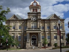
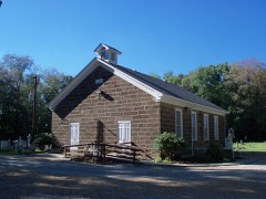
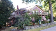
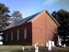
This curated hub for Carroll County, Ohio brings together the page's documented record links, visible map or image evidence where published, and routes to related local records.
Use the page's provenance and linked records to distinguish the source material from the site's navigation and summaries.
How should I cite it?
Open the original record, preserve its repository and identifier, then use the citation tool for this page as a path back to the source.
Where should I go next?
Follow the county or state hub for related places and records, then use the guide for a source-aware research sequence.
From the record
11 National Register listings · 10 businesses named in the fire insurance atlases from 1911 to 1911 · the 1866 county history tells 0 stories and names 5 people · people the book names include Morrow M. Elliott (Harrison Township, 1866) · A. Stout (Orange Township, 1866) (machine-read).
Ohio within the United StatesCarroll County within Ohio
Explore by year
What the record shows
3 places in this county were surveyed for fire insurance: Carrollton, Sherrodsville, Malvern, between 1895 and 1945.
15 fire insurance atlas(es) survive for the county. Topographic coverage is national; fire insurance survey reached only incorporated places with something worth insuring.
1,171 topographic sheet readings cover the county's settlements.
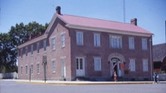
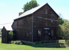
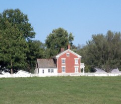
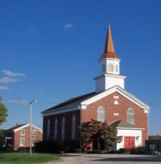
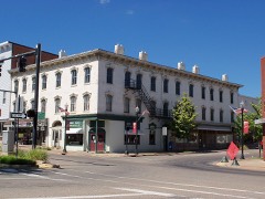
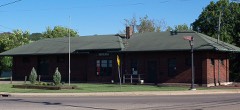
11 properties here are on the National Register of Historic Places, including 6 houses and farms.
4 of the 11 listings were added during the 1970s.
The Geographic Names Information System records 79 populated places in this county; 0 are covered by at least one topographic sheet.
2 public-domain county histories, 1866 and 1921, supply 576,239 words of narrative reproduced here in full.
Places on the National Register
11
Every property in this county listed on the
National Register of Historic Places, with the year it was listed and the
federal nomination document.
Carroll County holds 0 covered bridges on
the National Register, more than any other property type here. Each is a listed
structure with a federal nomination on file.
Digitised newspapers
5 issues
Sampled issues, machine-read from the
Library of Congress scan and published page by page, so every headline
and column is searchable text.
Carroll Free Press
Carrollton [Ohio], 1834 to 1861. Machine-read from the Library of Congress scan.
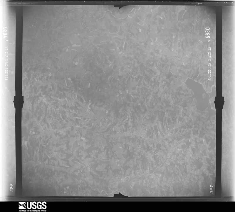
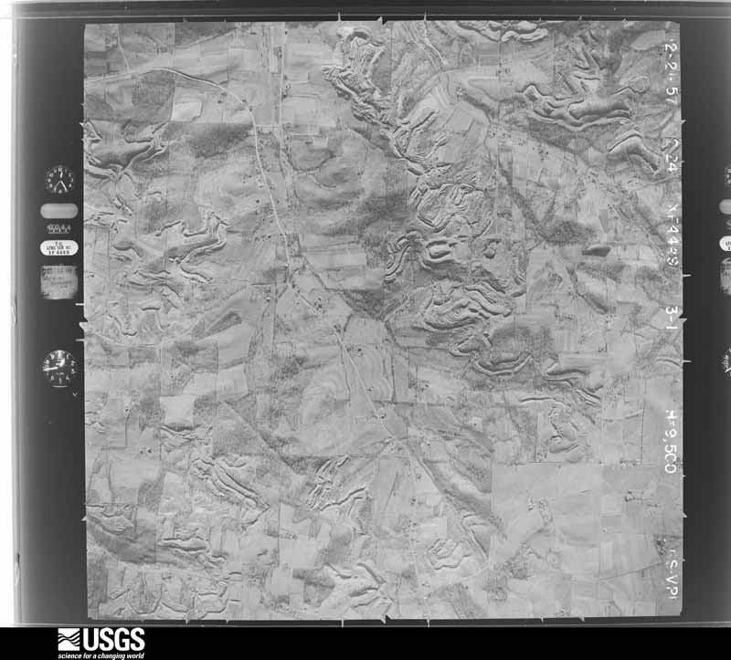
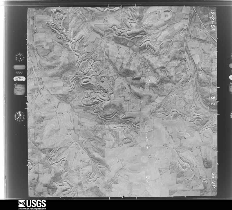
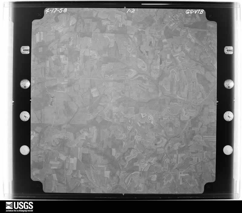
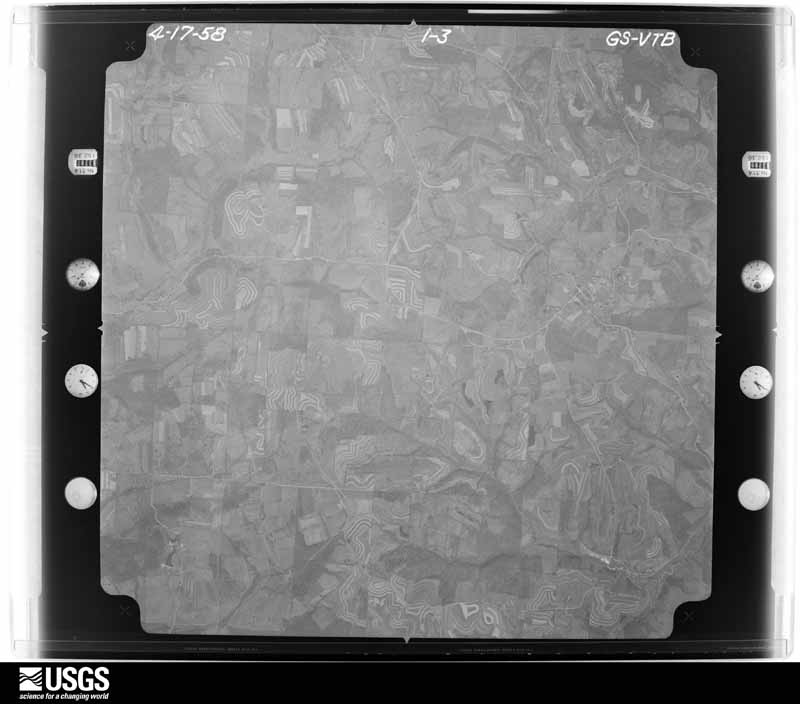
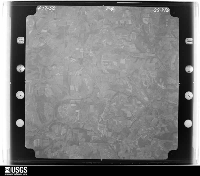
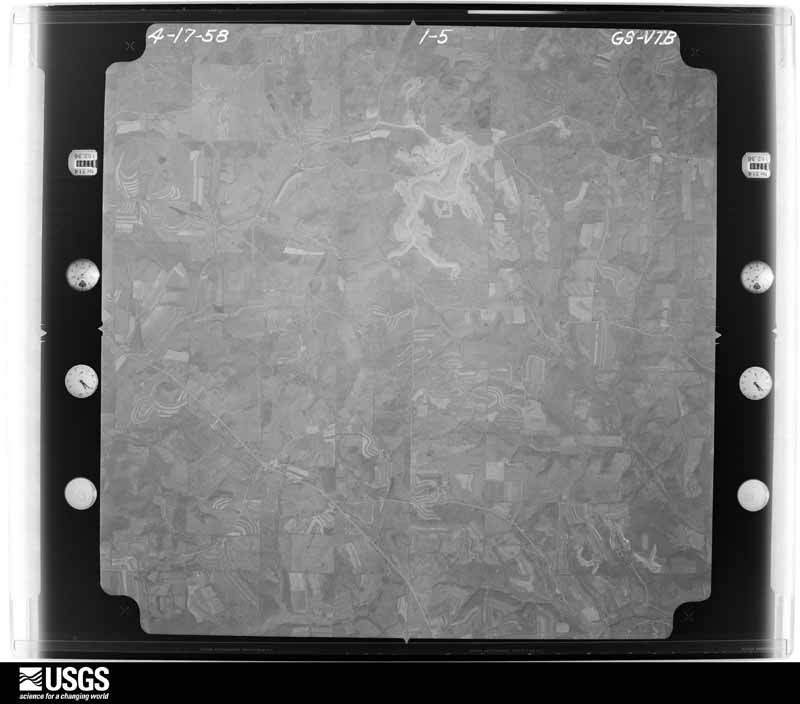
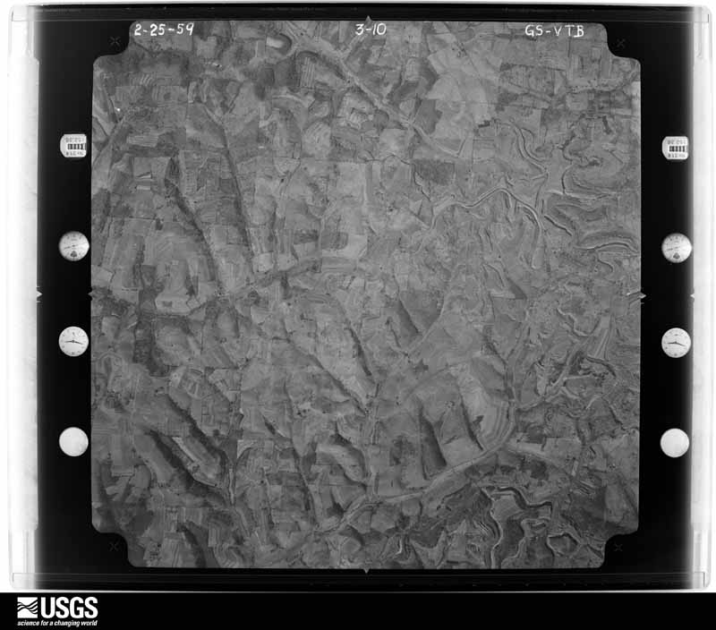
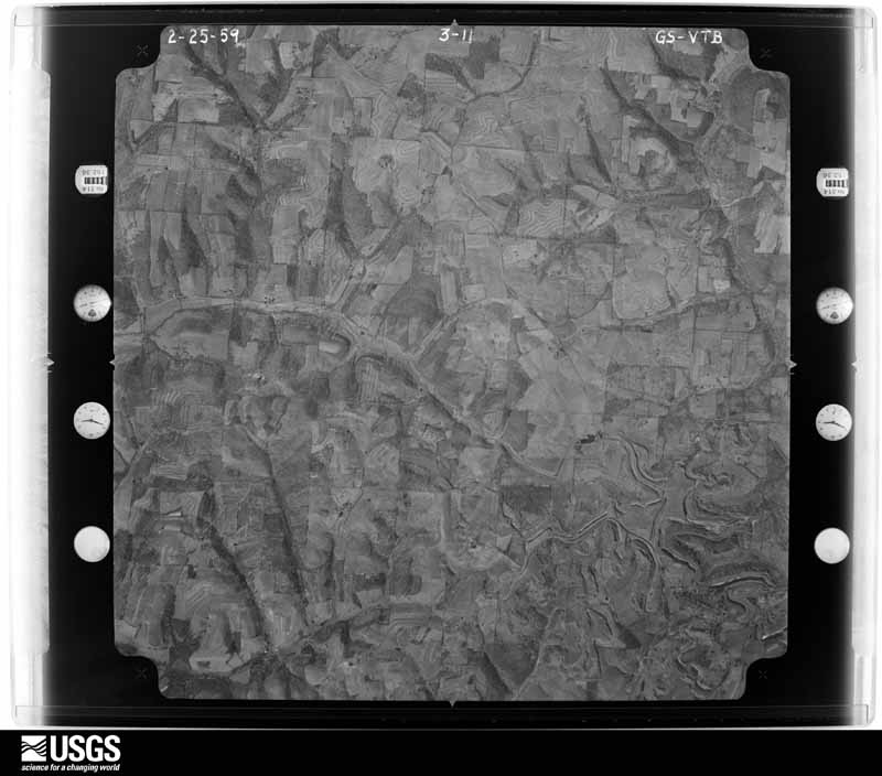
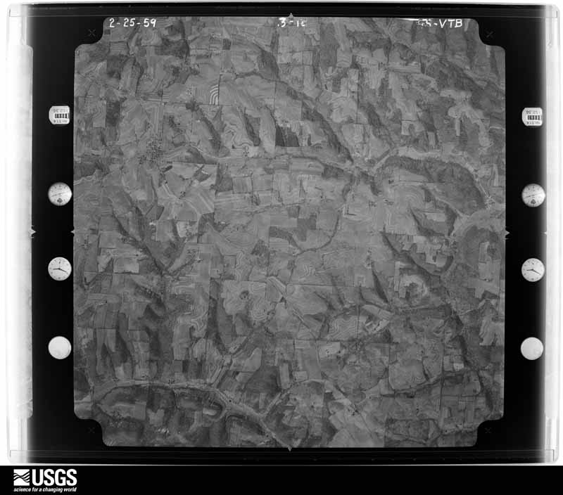
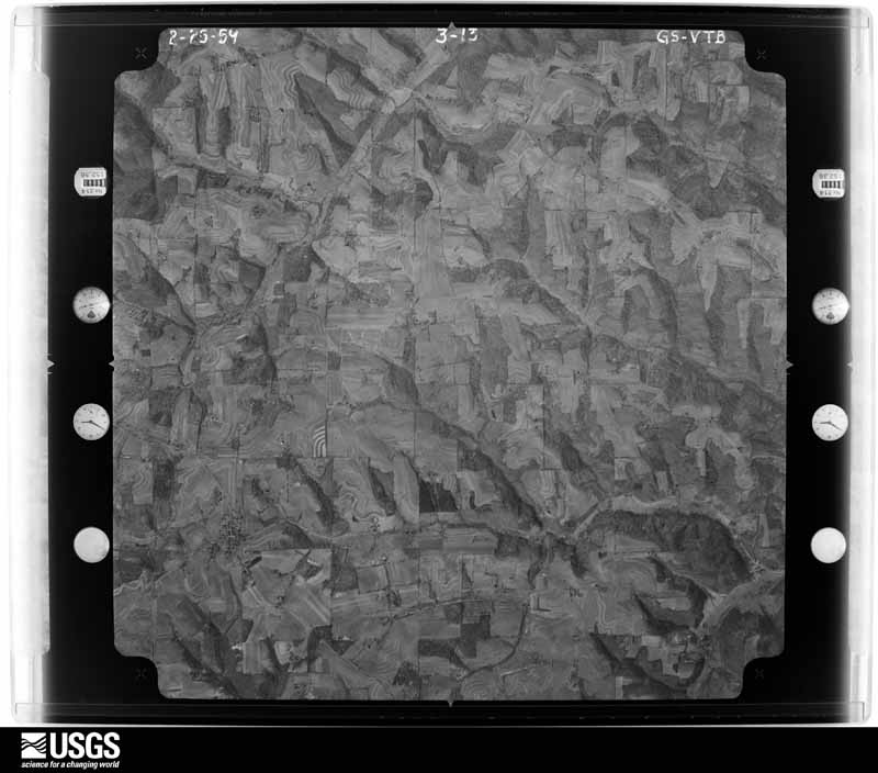
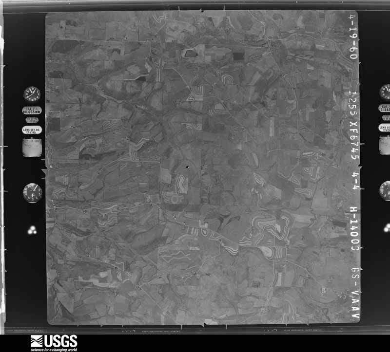
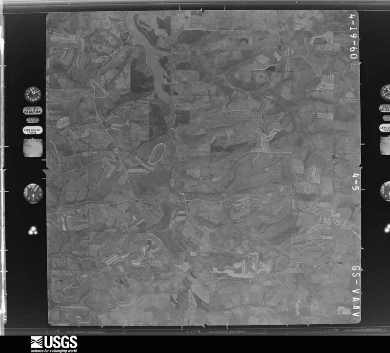
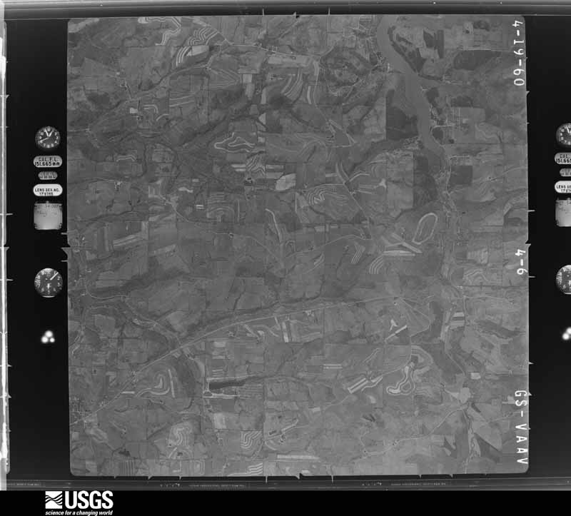
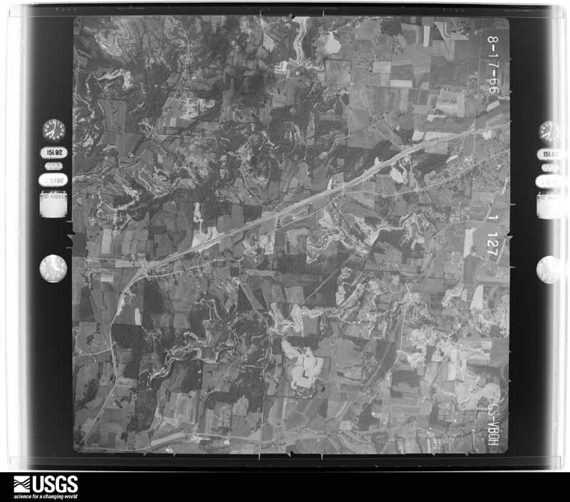
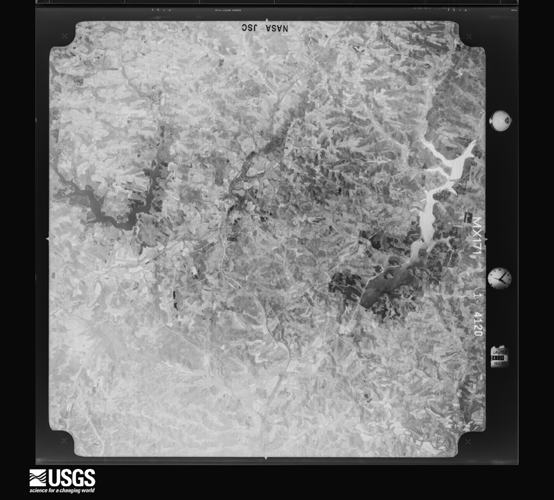
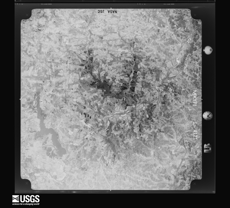
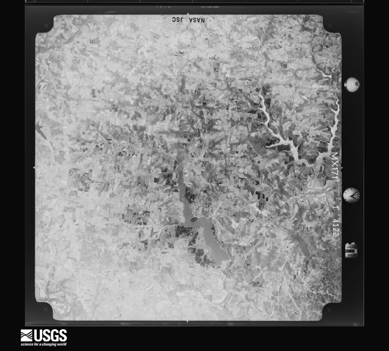
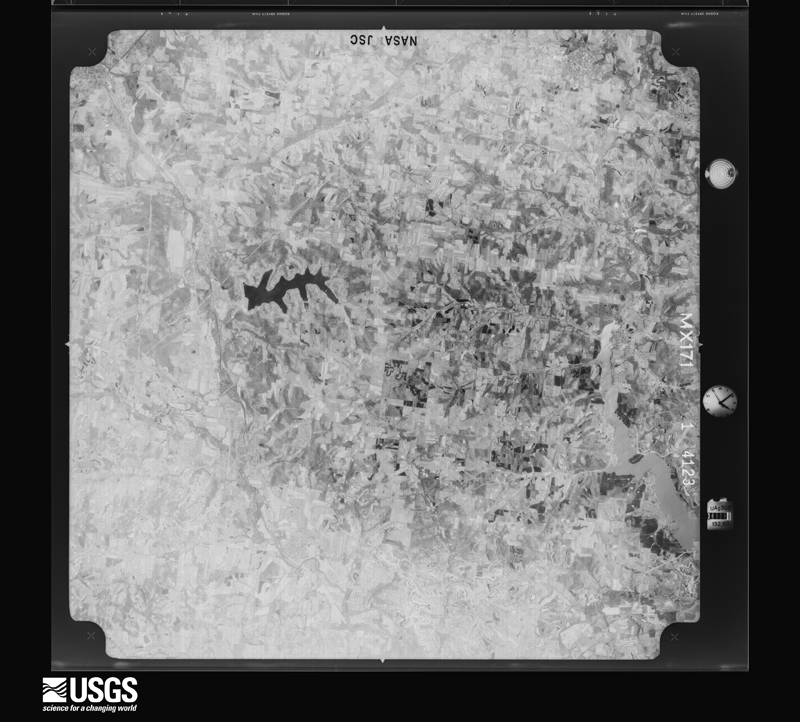
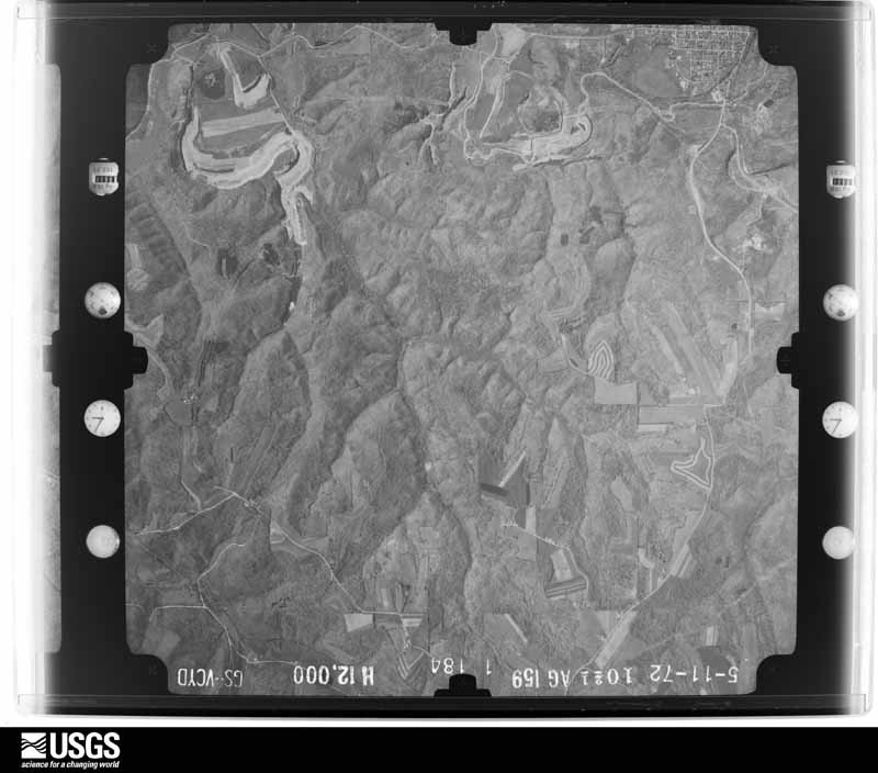
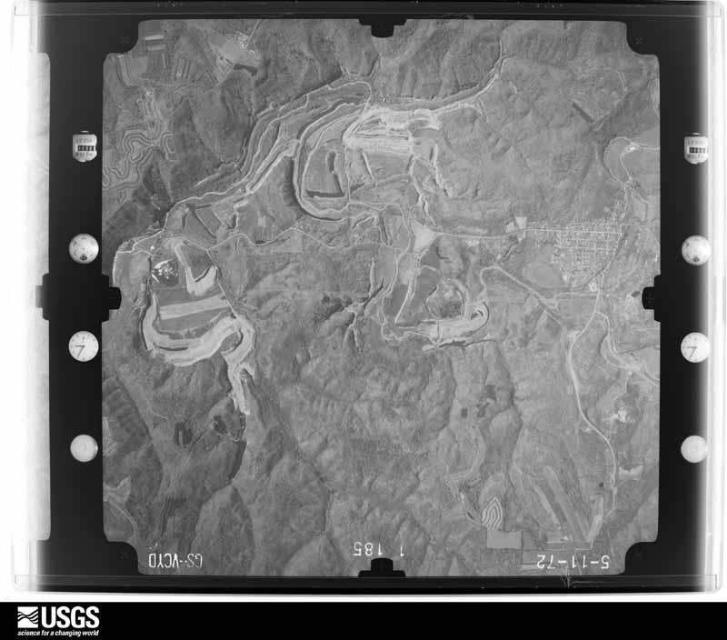
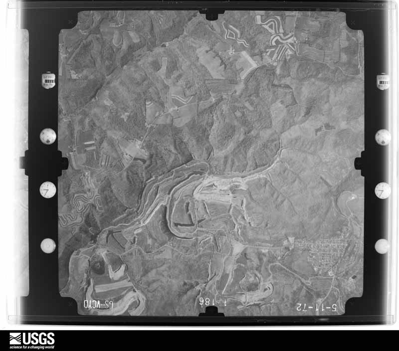
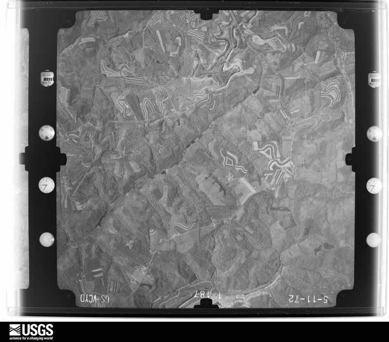
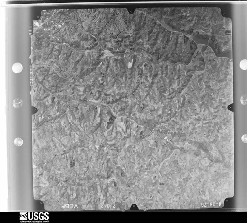
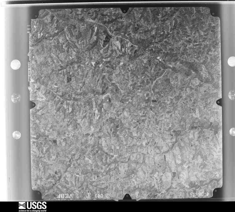
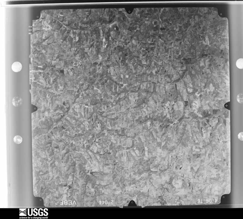
Flown by the U.S. Geological Survey
between 1937 and 1989, the Aerial Photo Single Frames collection is
the definitive mid-century view of the land: fields, roads and rivers
as the camera saw them. 610 frames touch this county; the
selection below spreads across the decades of flights (at most four
per year), so one flight cannot crowd out the rest. The full set is
free to browse and download at
EarthExplorer under the dataset Aerial Photo Single
Frames.
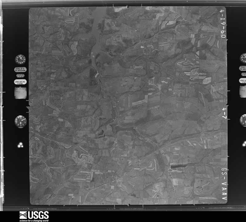
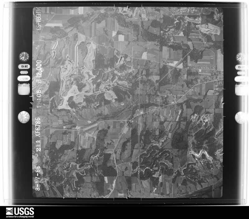
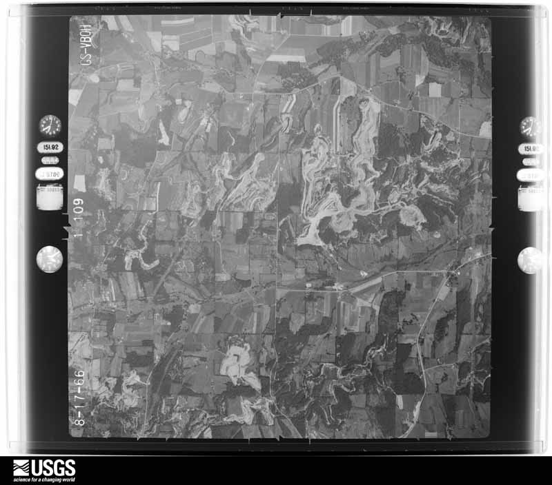
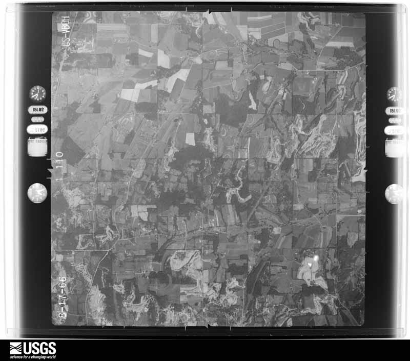
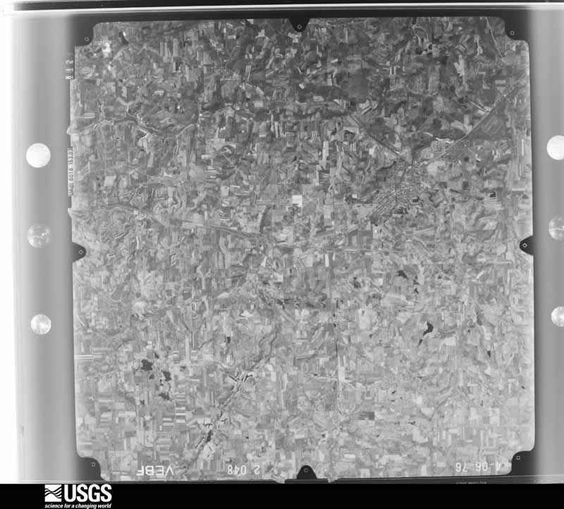
1948-09-01, scale 1:76626. U.S. Geological Survey aerial photograph.1957-11-01, scale 1:19000. U.S. Geological Survey aerial photograph.1957-11-01, scale 1:19000. U.S. Geological Survey aerial photograph.1958-04-17, scale 1:29000. U.S. Geological Survey aerial photograph.1958-04-17, scale 1:29000. U.S. Geological Survey aerial photograph.1958-04-17, scale 1:29000. U.S. Geological Survey aerial photograph.1958-04-17, scale 1:29000. U.S. Geological Survey aerial photograph.1959-02-25, scale 1:29000. U.S. Geological Survey aerial photograph.1959-02-25, scale 1:29000. U.S. Geological Survey aerial photograph.1959-02-25, scale 1:29000. U.S. Geological Survey aerial photograph.1959-02-25, scale 1:29000. U.S. Geological Survey aerial photograph.1960-04-22, scale 1:28000. U.S. Geological Survey aerial photograph.1960-04-22, scale 1:28000. U.S. Geological Survey aerial photograph.1960-04-22, scale 1:28000. U.S. Geological Survey aerial photograph.1960-04-22, scale 1:28000. U.S. Geological Survey aerial photograph.1966-08-17, scale 1:24000. U.S. Geological Survey aerial photograph.1966-08-17, scale 1:24000. U.S. Geological Survey aerial photograph.1966-08-17, scale 1:24000. U.S. Geological Survey aerial photograph.1966-08-17, scale 1:24000. U.S. Geological Survey aerial photograph.1971-04-16, scale 1:96586. U.S. Geological Survey aerial photograph.1971-04-16, scale 1:96586. U.S. Geological Survey aerial photograph.1971-04-16, scale 1:96586. U.S. Geological Survey aerial photograph.1971-04-16, scale 1:96586. U.S. Geological Survey aerial photograph.1972-05-11, scale 1:24000. U.S. Geological Survey aerial photograph.1972-05-11, scale 1:24000. U.S. Geological Survey aerial photograph.1972-05-11, scale 1:24000. U.S. Geological Survey aerial photograph.1972-05-11, scale 1:24000. U.S. Geological Survey aerial photograph.1976-04-01, scale 1:80000. U.S. Geological Survey aerial photograph.1976-04-01, scale 1:80000. U.S. Geological Survey aerial photograph.1976-04-01, scale 1:80000. U.S. Geological Survey aerial photograph.1976-04-01, scale 1:80000. U.S. Geological Survey aerial photograph.
City directories
3 volumes
The "who lived here, by year" answer:
pre-1929 public-domain directory volumes naming the county's people,
machine-read and searchable as text.
The thermometers that kept this
county's weather, and the gages that watched its rivers, as the
federal records hold them. The extremes below are measured values
from those records, not estimates.
Who lived here in 1950, one enumeration
district at a time, as the Census Bureau described each district.
Each row opens its official National Archives result, with Population
Schedules and ED Maps available there.
10-2Brown township: Malvern village: Malvern village - That part Bounded by Village limits; Village limits; Village limits; Pipes Run, Pennsylvania Railroad, Reed Ave.
10-3Malvern village - That part Bounded by Village limits; Reed Ave., Pennsylvania Railroad, Pipes Run; Village limits; Village limits
10-4Minerva village - That part in Carroll County comprising part of Brown township: Minerva village - That part Bounded by County line; Village limits; Village limits; Valley, Lincoln, Mill
10-5Minerva village - That part Bounded by Village limits, County line; Mill, Lincoln, Valley, Village limits; Village limits; Village limits (Remainder of Minerva village is in Paris township, Stark County)
10-6Brown township - That part southeast of State Hwy. 80, outside Malvern and Minerva villages
10-7Brown township - That part northwest of State Hwy. 80, outside Malvern and Minerva villages
10-8Center township: Carrollton village: Carrollton village - That part Bounded by Village limits; Village limits; Second N.E., Second N.W.; Wheeling & Lake Erie Railway
10-9Carrollton village - That part Bounded by Village limits; Wheeling & Lake Erie Railway; Wheeling & Lake Erie Railway, Village limits; Village limits
10-10Carrollton village - That part Bounded by Second N.E.; Village limits; Village limits; Village limits, Wheeling & Lake Erie Railway
10-11Center township - That part outside Carrollton village
10-24Rose township: Magnolia village - That part in Carroll County, comprising part of Rose township (Remainder of Magnolia village is in Sandy township, Stark County)
10-25Rose township - That part outside Magnolia village
Every Sanborn volume opens with a printed index
naming the town's mills, tanneries, hotels and works by proprietor. Those
indexes were read off the scanned sheets by machine and then matched to each
other, so a business surveyed four times appears here once, with the years it
survived. 0 of these 10 were named in more than one atlas. Each carries a
crop of the line it was read from: the spelling is the recogniser's and the
1880s lithographer's, and the scan behind it is the proof.
Every wildfire the federal occurrence
database records inside this county: 127 of them, burning about
614 acres. 0 started naturally and 1 were
recorded as arson. Each settlement page carries the fires within five
miles of it.
Reported cause
Fires
Debris and open burning
68
Missing data/not specified/undetermined
37
Power generation/transmission/distribution
8
Equipment and vehicle use
6
Recreation and ceremony
4
Smoking
3
Arson/incendiarism
1
The five largest, by the area the report
gives. One of them was set deliberately.
Date
Cause
Size
Reported by
Name on the report
1 April 2014
Missing data/not specified/undetermined
175 acres
Ohio Department of Natural Resources
not named
1 April 2014
Debris and open burning
60 acres
Ohio Department of Natural Resources
not named
2 May 2015
Arson/incendiarism
35 acres
Ohio Department of Natural Resources
1441
4 April 2013
Debris and open burning
25 acres
Ohio Department of Natural Resources
not named
4 November 2014
Missing data/not specified/undetermined
22 acres
Ohio Department of Natural Resources
not named
12 April 2015
Equipment and vehicle use
12 acres
Ohio Department of Natural Resources
820
21 April 2018
Missing data/not specified/undetermined
12 acres
Ohio Department of Natural Resources
12909
19 November 2012
Equipment and vehicle use
10 acres
Ohio Department of Natural Resources
not named
Every settlement page carries the fires within five
miles of it - see the settlement index below.
Storms, 1954 to
2026
60 of 387 shown
The
NOAA Storm Events Database holds
387 reports for this county, causing 1 death,
15 injuries and about $4,890,600 in recorded property damage.
Each settlement page carries the reports that name it.
Kind of event
Reports
Thunderstorm Wind
249
Hail
66
Flash Flood
42
Flood
12
Tornado
11
Heavy Rain
4
Funnel Cloud
2
Lightning
1
The most serious of them, by death, then
injury, then recorded damage. The accounts are quoted exactly as the
forecast office filed them.
Lightning injured 6 people at a soccer game as they sat in lawn chairs. Some were holding umbrellas. Lightning struck the umbrella of a 37-year old man. He was critically injured. Three other adults and 2 children were slightly injured.
A ground and aerial drone survey confirmed two distinct and |adjacent tornadoes, which were spawned from a supercell |thunderstorm that tracked southeast across Washington and Lee |Townships in Carroll County, Ohio...and then into Springfield and |Ross Townships in Jefferson County, Ohio. These findings are |consistent with two hook echoes/rotational couplets on NWS Doppler|Radar in Pittsburgh.||This section outlines the first tornado track across Carroll |County. The tornado touched down at approximately 4:59pm along |Channel Rd NE and Cobbler Rd, where damage to a farm residence, |wood-framed metal roof shed, and crops were observed. Some damage |indicators included flattening of corn, blown-out windows, and a |wind-toppled chimney.||Several trees were blown down along Parma Rd, as the tornado |continued to the south-southeast.||The tornado then proceeded over rural, hilly woodland west of |Cinder Road (aka CR67). To further inspect glimpses of embedded |tree damage, a drone was launched from a gas well access road, and|discovered a long, continuous path of extensive tree damage. A |several hundred yard section along one of the hill peaks was |nearly completely deforested with hundreds of large trees |completely snapped and uprooted. An EF-2 rating was assigned to |this area, with a maximum estimated wind of 120 MPH.||The tornado continued downhill toward the gas well site, with the|last tree damage observed just prior to reaching Bay Rd. As this |tornado rapidly dissipated, a second tornado formed approximately |1 mile to the east-southeast.
Video confirmed a brief tornado occurred beginning at the Leesville Lake South Fork Marina and continuing northeast across Leesville Lake. Rapid development was noted as a narrow, intense ground circulation appeared, tossing docks and pontoon boats. Based on the destruction of a tree in tandem with the destruction of non-DIs evident in the video and the visual of rotational speed of the ground circulation, the peak wind in this small tornado is estimated to be around 80 MPH.
Emergency management reported water flowing out of the spillway from Stoney Creek Dam and flooding McGuire Creek down to Leesville lake. SR 37 and East Side drive were washed out in spots. Sand and gravel were washed into basement of one home.
75 to 150 trees were blown down in a 4-mile stretch in Loudon Twp, on roads Poppy, Post, Province, Germano, Raindrop, and Amsterdam. A roof was ripped off a mobile home on Post Rd. A few barns were damaged.
The National Weather Service in Pittsburgh has confirmed an EF1 tornado in the city of Carrollton on Saturday afternoon May 25th.|||The tornado touched down in a wooded area off of Crest |Street then lifted briefly across Canton Road NW before tearing the top of a |large hardwood tree behind the McDonald's. The worst of the damage |was an overturned single wide mobile home. There were shingles off |several other mobile homes within the mobile home park. A metal shed |was also destroyed. Intermittent touchdowns continued causing minor |damage and shingles off the roofs of a few homes along N Lisbon |Street. Numerous hardwood trees behind the aforementioned street |were snapped mid way up in a ravine.
An EF1 tornado was confirmed by a NWS storm survey with a maximum wind speed of 90 MPH. A supercell thunderstorm produced a tornado that touched down 10.5 miles east of Carrollton in eastern Carroll county for almost a mile and one half and exited Carroll county just north of the intersection of of Township Highway 317 and SR 164 around 1701EST. The tornado continued into northwest Jefferson county before dissipating around 1705EST 4 miles northeast of Bergholz with a total path length of approximately 4 miles. The maximum width was about 300 yds. The tornado was EF1 in both counties with trees toppled or snapped. Structural damage included a porch roof, shingles off roofs, broken windows and siding torn off homes. A chimney was knocked down and numerous outbuildings suffered roof or wall damage. A large tree also fell on a mobile home.
A microburst, with an estimated wind of 60 mph (52kt), struck near Atwood Lake, producing a swath of damage along Menlo Drive off Route 542. The microburst was 200 yards long and 50 yards wide. Numerous tall pine trees were snapped. A few fell onto houses and sheds.
An NWS storm survey found an EF-1 tornado that touched down northwest of Kilgore and dissipated southwest of Amsterdam in Carroll county. Damage was first noted along Route 332 south of Petersburgh, OH where trees were downed or snapped off. This damage continued southeast along Aster Road, with low end EF-1 damage to hardwood trees. Tree damage continued along Raindrop Road and Pronto Road, with high end EF-1 damage to trees along Pronto road. Damage then rapidly ended near Cavalry Road as the tornado dissipated. Maximum winds were estimated to be from 100 to 110 MPH, with a path length near 9 miles. The maximum path width was 150 yards.
An NWS storm survey found tornado damage mainly to trees along the path just over one half mile north of Amsterdam. Maximum EF-0 winds were estimated at 85 MPH. A tree fell on a porch roof and destroyed it, with numerous power lines down. Power was not restored for several days. The maximum path width was 175 yards.
Law enforcement reported trees and power lines down north of Carrollton.
Mines and
quarries
16 recorded
The Survey's mineral resources record
lists 16 workings inside this county. 6 still
produce and 10 are closed or unrecorded. Each settlement
page carries the workings within five miles of it.
Commodity
Workings
Clay
7
Sand and Gravel, Construction
4
Stone, Crushed/Broken
1
Limestone, General
1
Stone, Crushed/Broken, Bituminous
1
Iron
1
Flagstone
1
The least common of them first, because a
county's hundredth gravel pit says nothing its first ten did not.
Museum specimens collected inside this
county and catalogued with a date and a place: 455 of them, by
kingdom 344 animalia, 106 plantae, 5 fungi. Each is a physical object in a named collection, not a
sighting. Held by Ohio State University - Fish Division, Columbus, OH (OSUM), CM, UMMZ, Cleveland Museum of Natural History, OH (CLEV), Ohio State University - Amphibian Division, Columbus, OH (OSUM), CUMV among others, and each settlement page carries
the specimens collected near it.
The oldest of them. A specimen proves
something was collected on that day; its absence proves nothing.
Sandy Creek, at Minerva, ~0.5 mi S of Minerva, Brown township
Trautman, M. B. (Milton Bernard)
Ohio State University - Fish Division, Columbus, OH (OSUM) OSUM 10848
The townships, in 1866
576,239 words
Ohio Carroll County Early Marriages Volume 2 devotes a chapter to each township:
its boundaries and streams, who settled it and when, the mills, the
schools and the churches. All 2 are reproduced here in full. Each row
shows the township's own shape and where it lies in the county, drawn from
the Census Bureau's boundary. Which settlements belong to which township
is computed from that same boundary, not taken from the book.
Everyone Ohio Carroll County Early Marriages Volume 2 stops to write about, with
the section that describes them. Among them are the men who founded the
place and governed the Territory. Each name opens the passage itself, in
the words of 1866.
Named settlements recorded in the Geographic Names
Information System, each with the topographic sheets covering it. Villages,
hamlets and abandoned places alike. Each is shown with the watercourse or
landform it stands on and the survey quadrangle it falls on. The 3
places that were also surveyed for fire insurance come first, with the
number of atlases and photographs held for them.
The complete index, with nothing left out.
Each of these is a separate record with its own page: a federal survey
report, or the case file that argued a property on to the National
Register. Both are public domain and reproduced word for word.
Topographic sheets. USGS Historical Topographic Map Collection, county index, measured from the bulk metadata.
Fire insurance maps. Library of Congress Sanborn collection, faceted to this county.
Photographs. Each place queried individually against the Library of Congress Prints and Photographs search.
Wildfire. Short, Karen C. 2022. Spatial wildfire occurrence data for the United States, 1992-2020 [FPA_FOD_20221014]. 6th Edition. Fort Collins, CO: Forest Service Research Data Archive. https://doi.org/10.2737/RDS-2013-0009.6 Collected with United States Government funding and usable without additional permissions or fees.
Specimens. Global Biodiversity Information Facility (GBIF), https://www.gbif.org/. Only records licensed CC0 or CC BY are used. Records licensed CC BY-NC are excluded because this site carries advertising. Images are checked individually and any whose licence is non-commercial, no-derivatives or unreadable is refused.
Mines and quarries. USGS Mineral Resources Data System (MRDS) https://mrdata.usgs.gov/mrds/ A work of the United States government, no copyright under 17 U.S.C. 105.
Storms. NOAA National Centers for Environmental Information, Storm Events Database https://www.ncei.noaa.gov/stormevents/ A work of the United States government, no copyright under 17 U.S.C. 105. Narratives are quoted verbatim from the National Weather Service report and are not edited or summarised.
 Block
Block