76 topographic sheets and 8 fire insurance
atlases across 2 places.
Research this county
This curated hub for Vinton County, Ohio brings together the page's documented record links, visible map or image evidence where published, and routes to related local records.
Use the page's provenance and linked records to distinguish the source material from the site's navigation and summaries.
How should I cite it?
Open the original record, preserve its repository and identifier, then use the citation tool for this page as a path back to the source.
Where should I go next?
Follow the county or state hub for related places and records, then use the guide for a source-aware research sequence.
From the record
6 National Register listings · 2 businesses named in the fire insurance atlases from 1911 to 1911 · the 1927 county history tells 0 stories and names 0 people.
Ohio within the United StatesVinton County within Ohio
Explore by year
What the record shows
2 places in this county were surveyed for fire insurance: Mcarthur, Hamden, between 1896 and 1924.
8 fire insurance atlas(es) survive for the county. Topographic coverage is national; fire insurance survey reached only incorporated places with something worth insuring.
540 topographic sheet readings cover the county's settlements.
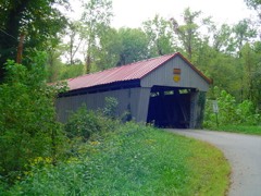
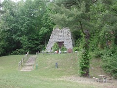
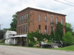
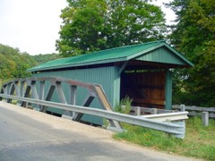
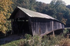
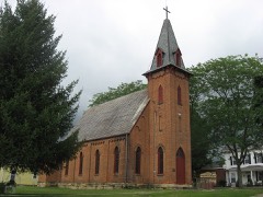
6 properties here are on the National Register of Historic Places, including 3 covered bridges.
5 of the 6 listings were added during the 1970s.
The Geographic Names Information System records 39 populated places in this county; 0 are covered by at least one topographic sheet.
1 public-domain county history, 1927, supply 124,965 words of narrative reproduced here in full.
Photographs
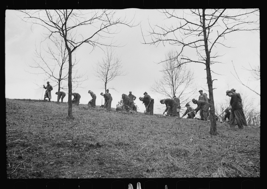
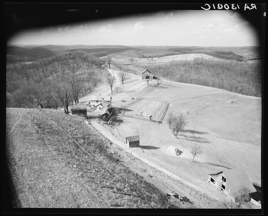
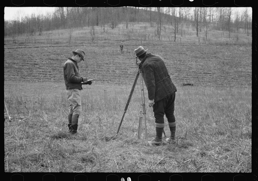
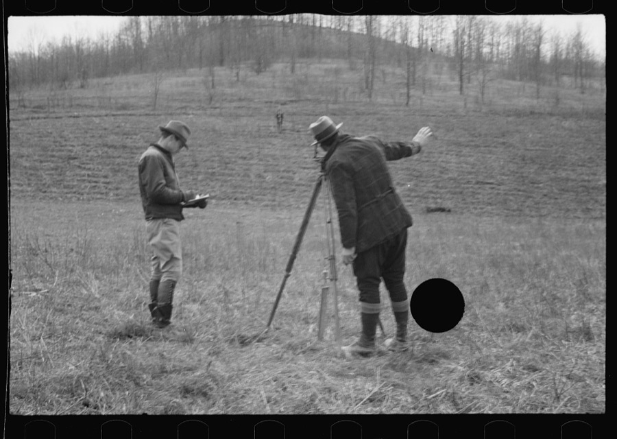
4 photographs, 1936
Taken for the Office of War Information and
the Farm Security Administration, who photographed the country between
1935 and 1944. Works of United States government photographers, with no
known restriction on use. Each opens its catalogue record.
Planting trees at Zaleski Forest Project, Vinton County, Ohio Jung, Theodor, 1936. Library of CongressGeneral view. Zaleski forest project, Vinton County, Ohio Jung, Theodor, 1936. Library of CongressPlanting trees at Zaleski Forest Project, Vinton County, Ohio Jung, Theodor, 1936. Library of CongressPlanting trees at Zaleski Forest Project, Vinton County, Ohio Jung, Theodor, 1936. Library of Congress
Places on the National Register
6
Every property in this county listed on the
National Register of Historic Places, with the year it was listed and the
federal nomination document.
Vinton County holds 3 covered bridges on
the National Register, more than any other property type here. Each is a listed
structure with a federal nomination on file.
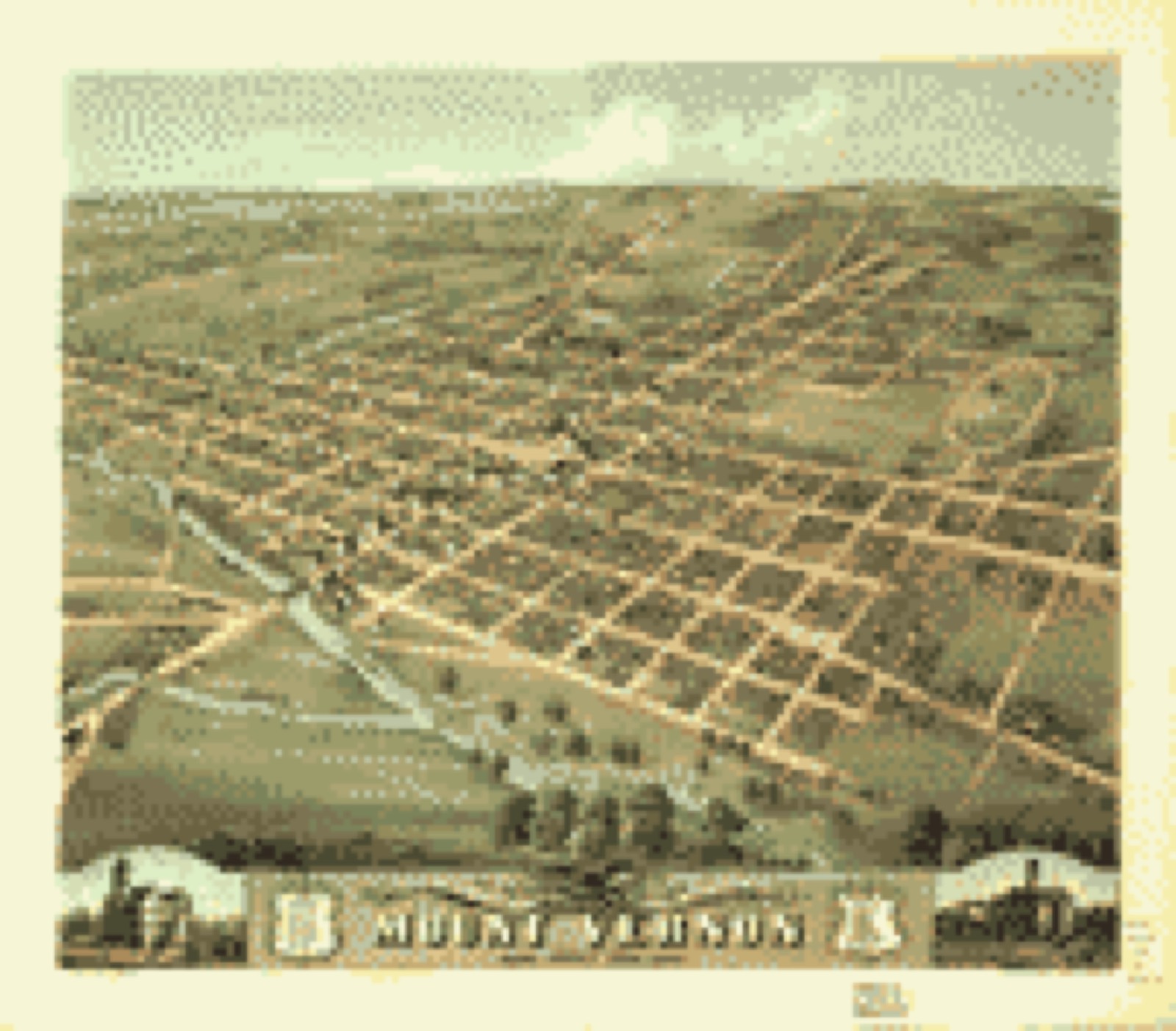
Drawn when these were printed as
single large sheets: the town seen from the air, and the county
divided into its farms with every owner named. Each opens the
original at the Library of Congress.
Bird's-eye view (1870) - Bird's eye view of the city of Mount Vernon, Knox County, Ohio 1870. Library of Congress.Land ownership map (1856) - Map of Richland Co., Ohio. Library of Congress.
The county from the air
20 of 485 shown
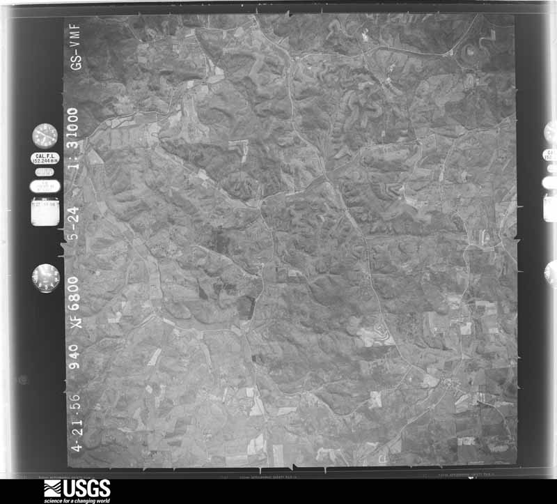
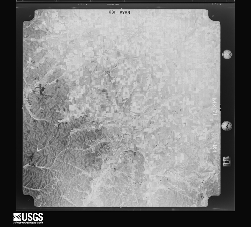
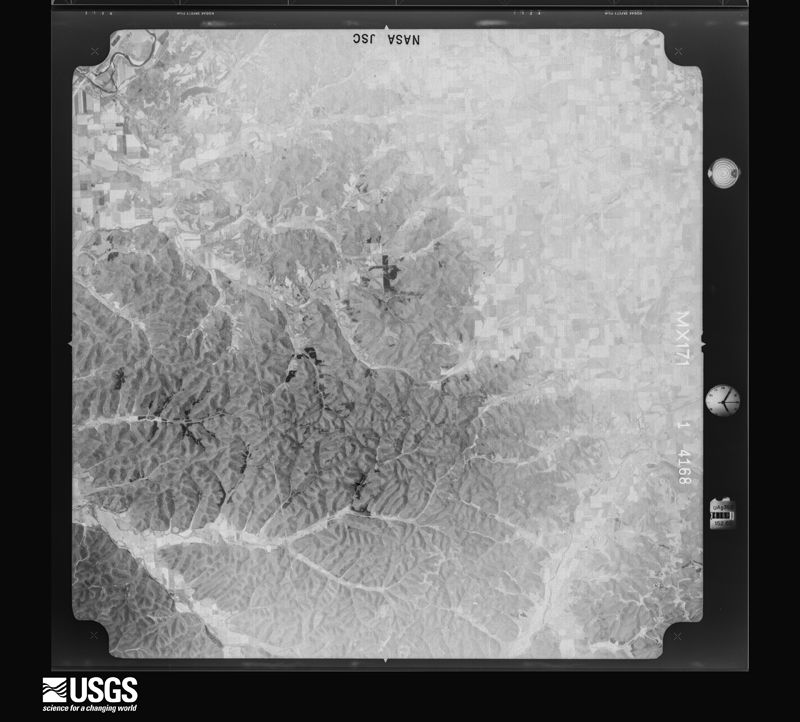
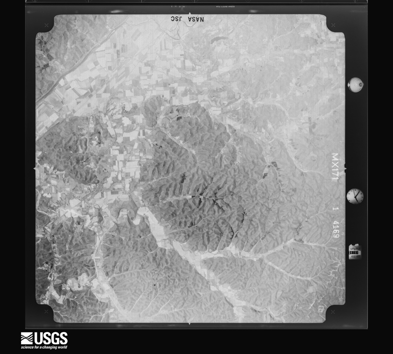
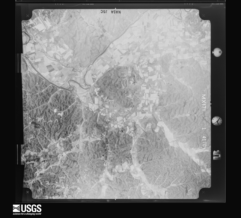
Flown by the U.S. Geological Survey
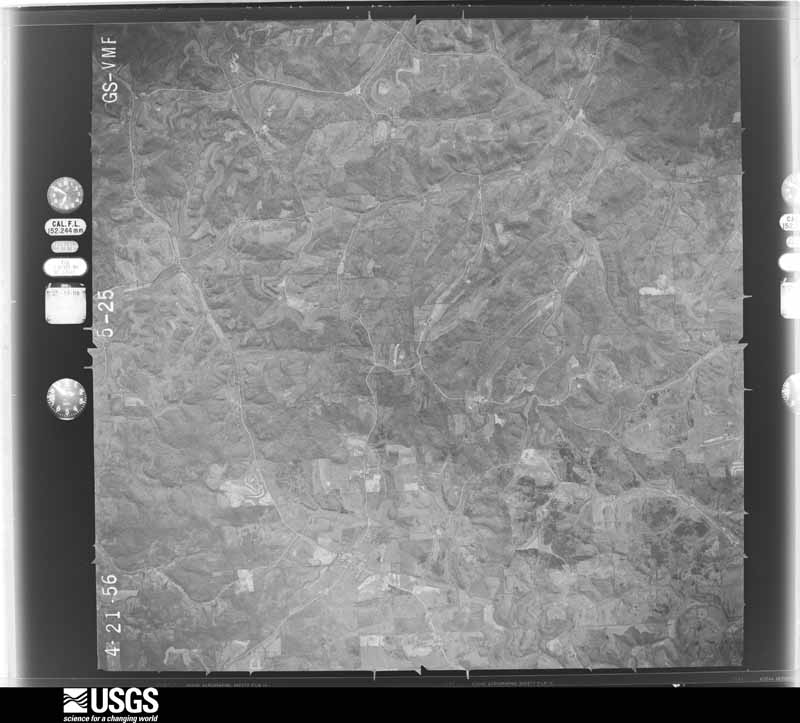
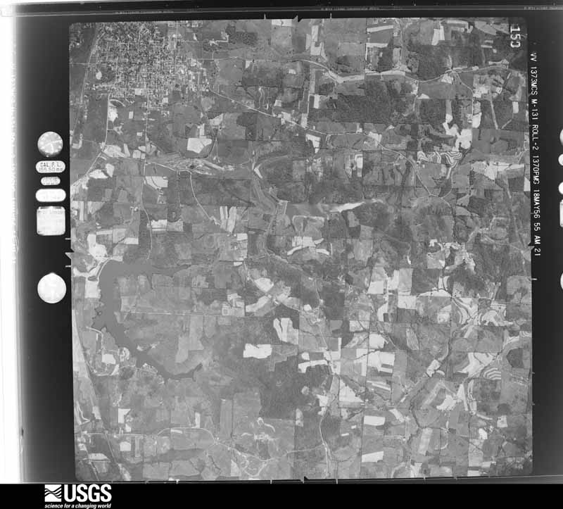
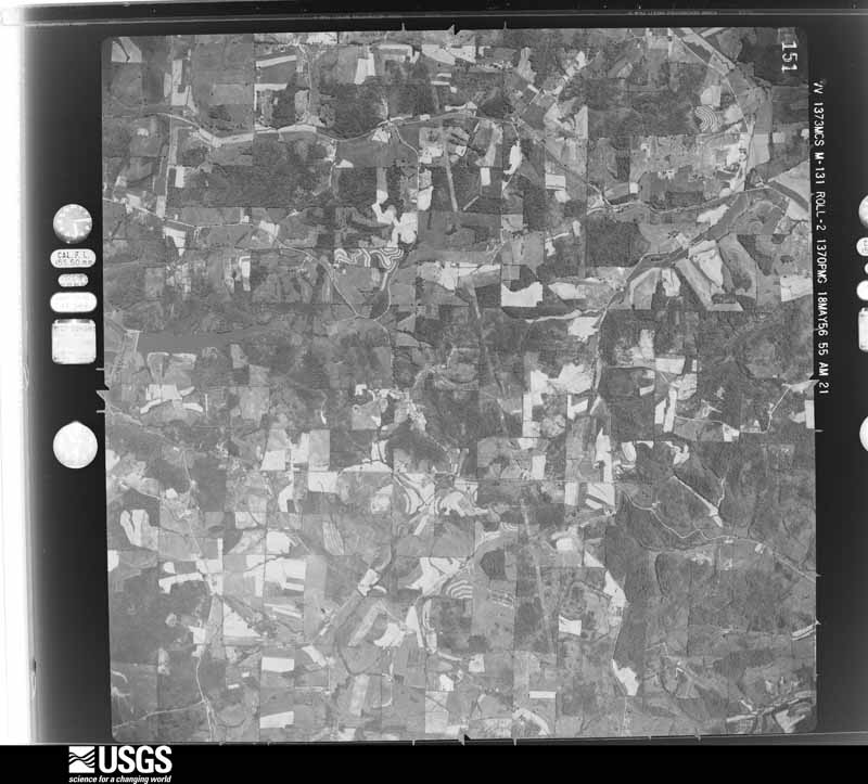
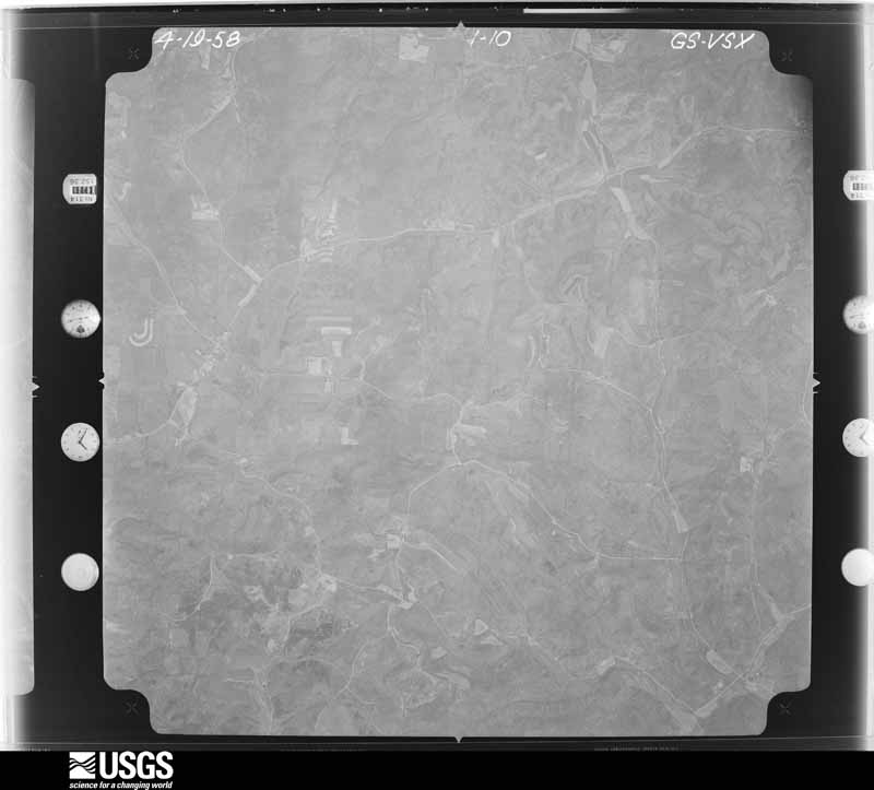
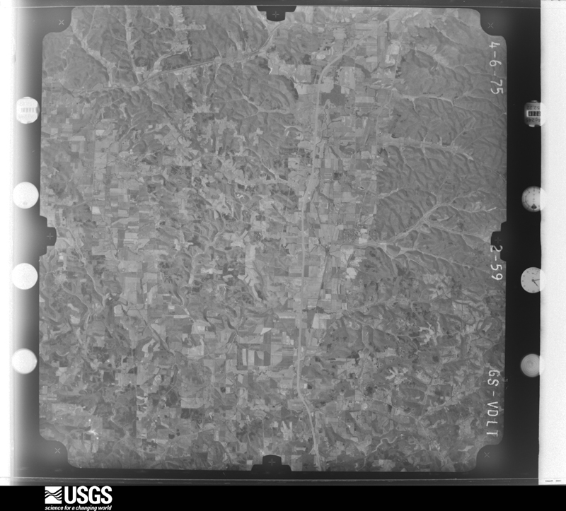
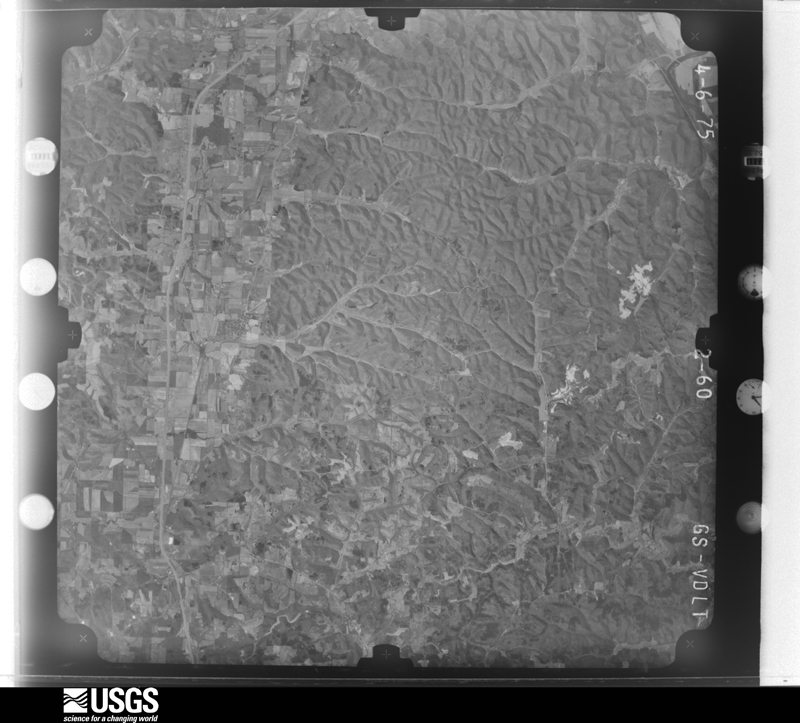
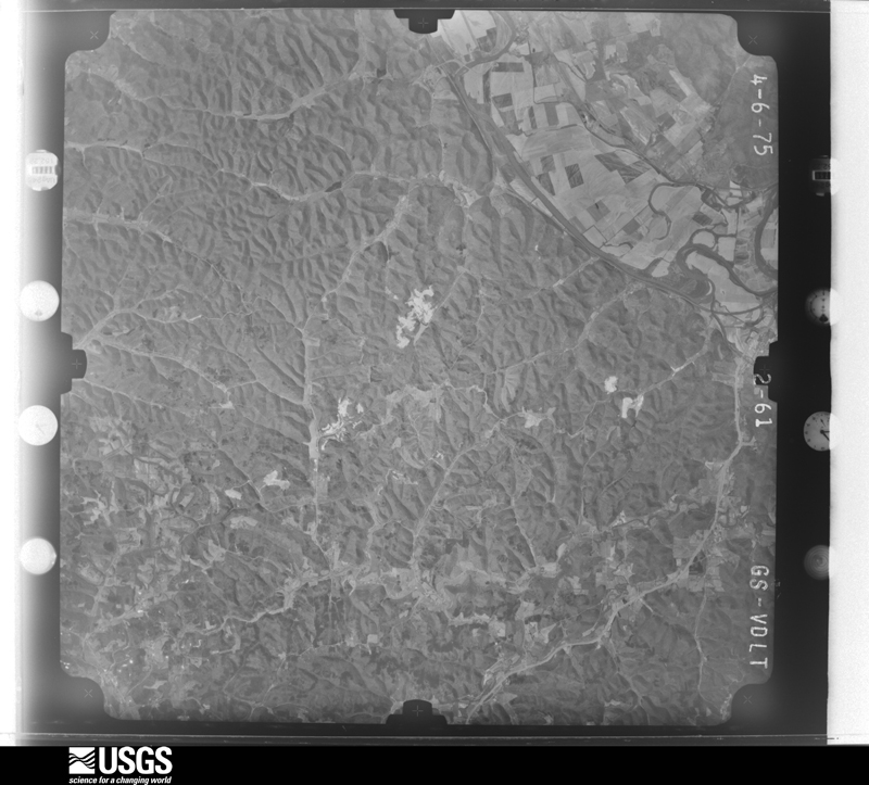
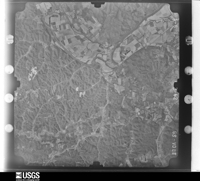
between 1937 and 1989, the Aerial Photo Single Frames collection is
the definitive mid-century view of the land: fields, roads and rivers
as the camera saw them. 485 frames touch this county; the
selection below spreads across the decades of flights (at most four
per year), so one flight cannot crowd out the rest. The full set is
free to browse and download at
EarthExplorer under the dataset Aerial Photo Single
Frames.
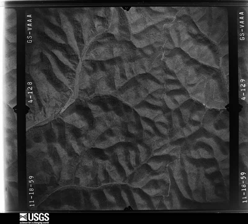
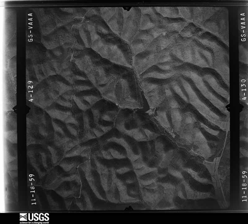
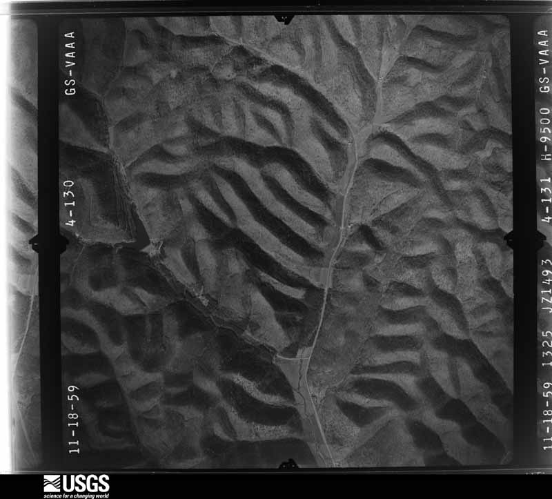
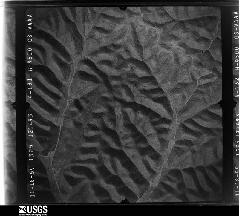
1956-04-21, scale 1:31000. U.S. Geological Survey aerial photograph.1956-04-21, scale 1:31000. U.S. Geological Survey aerial photograph.1956-05-18, scale 1:30000. U.S. Geological Survey aerial photograph.1956-05-18, scale 1:30000. U.S. Geological Survey aerial photograph.1959-02-25, scale 1:27000. U.S. Geological Survey aerial photograph.1959-02-25, scale 1:27000. U.S. Geological Survey aerial photograph.1959-02-25, scale 1:27000. U.S. Geological Survey aerial photograph.1959-02-25, scale 1:27000. U.S. Geological Survey aerial photograph.1960-04-19, scale 1:19000. U.S. Geological Survey aerial photograph.1960-04-19, scale 1:19000. U.S. Geological Survey aerial photograph.1960-04-19, scale 1:19000. U.S. Geological Survey aerial photograph.1960-04-19, scale 1:19000. U.S. Geological Survey aerial photograph.1971-04-16, scale 1:99228. U.S. Geological Survey aerial photograph.1971-04-16, scale 1:99228. U.S. Geological Survey aerial photograph.1971-04-16, scale 1:99228. U.S. Geological Survey aerial photograph.1971-04-16, scale 1:99228. U.S. Geological Survey aerial photograph.1975-04-06, scale 1:78000. U.S. Geological Survey aerial photograph.1975-04-06, scale 1:78000. U.S. Geological Survey aerial photograph.1975-04-06, scale 1:78000. U.S. Geological Survey aerial photograph.1975-04-06, scale 1:78000. U.S. Geological Survey aerial photograph.
Weather records
15 stations, 17 gages
The thermometers that kept this
county's weather, and the gages that watched its rivers, as the
federal records hold them. The extremes below are measured values
from those records, not estimates.
MCARTHUR1893 to 1944, hottest 42.2 C, coldest -38.9 C
JACKSON 3 NW1914 to 2026, hottest 40.0 C, coldest -33.3 C
Who lived here in 1950, one enumeration
district at a time, as the Census Bureau described each district.
Each row opens its official National Archives result, with Population
Schedules and ED Maps available there.
82-17Wilkesville township - That part outside Wilkesville village
Businesses named in the atlases
2 businesses
Every Sanborn volume opens with a printed index
naming the town's mills, tanneries, hotels and works by proprietor. Those
indexes were read off the scanned sheets by machine and then matched to each
other, so a business surveyed four times appears here once, with the years it
survived. 0 of these 2 were named in more than one atlas. Each carries a
crop of the line it was read from: the spelling is the recogniser's and the
1880s lithographer's, and the scan behind it is the proof.
Every wildfire the federal occurrence
database records inside this county: 224 of them, burning about
1,541 acres. 1 started naturally and 18 were
recorded as arson. Each settlement page carries the fires within five
miles of it.
Reported cause
Fires
Debris and open burning
116
Missing data/not specified/undetermined
56
Arson/incendiarism
18
Power generation/transmission/distribution
13
Equipment and vehicle use
9
Recreation and ceremony
5
Smoking
3
Misuse of fire by a minor
1
Fireworks
1
Other causes
1
Natural
1
The five largest, by the area the report
gives. One of them was set deliberately.
Date
Cause
Size
Reported by
Name on the report
15 April 2010
Missing data/not specified/undetermined
355 acres
Ohio Department of Natural Resources
PARK CABIN
6 April 2013
Arson/incendiarism
280 acres
Ohio Department of Natural Resources
not named
19 March 2015
Power generation/transmission/distribution
131 acres
Ohio Department of Natural Resources
506
13 July 2012
Missing data/not specified/undetermined
100 acres
Ohio Department of Natural Resources
not named
13 November 2010
Missing data/not specified/undetermined
90 acres
Ohio Department of Natural Resources
not named
8 March 2016
Missing data/not specified/undetermined
40 acres
Ohio Department of Natural Resources
3634
17 April 2016
Debris and open burning
26 acres
Ohio Department of Natural Resources
4571
24 October 2010
Debris and open burning
25 acres
Ohio Department of Natural Resources
not named
Every settlement page carries the fires within five
miles of it - see the settlement index below.
Storms, 1974 to
2026
60 of 251 shown
The
NOAA Storm Events Database holds
251 reports for this county, causing 0 deaths,
1 injury and about $5,884,300 in recorded property damage.
Each settlement page carries the reports that name it.
Kind of event
Reports
Thunderstorm Wind
129
Flood
53
Flash Flood
44
Hail
17
Tornado
6
Heavy Rain
1
Lightning
1
The most serious of them, by death, then
injury, then recorded damage. The accounts are quoted exactly as the
forecast office filed them.
Near the town of Eagle Mills, a man was struck by lightning. He was taken to the hospital in critical condition, but fortunately did recover from his injuries.
Small streams in the western portion of the county flooded. Streams such as Pike Run, and the Middle Fork of Salt Creek damaged roads, homes and campers. One home was destroyed, 11 homes had major damage, and 42 others had minor damage.
Scattered locations throughout the county had trees or large branches blown down. Around 4,000 customers lost electricity. The county middle school was set up as a cooling center and a place to charge cellular phones. Along with residences and businesses, the storm knocked out power and phone lines to the Vinton County Sheriff's Office, the McArthur Police Department, and emergency medical services.
Winds measured at 80 mph at the Zaleski State Forest Ranger Station from a microburst. Trees were downed in the vicinity, a mobile home was destroyed, and a barn roof was removed.
A brief tornado touchdown occurred along Ohio 124 1.5 miles WNW of Wilkesville. A new double-wide mobile home was shifted off the block foundation and turned in a westerly direction. Another nearby mobile home was blown a few feet off of its foundation in a southerly direction. Clear rotation was also evident in the direction several uprooted trees were laying and in debris scattered across the property.
The first report of flooding was around midday as the headwaters of Raccoon Creek, including Wiselabout Creek, flooded Route 278. Numerous other creeks overflowed and blocked roads.
Streams such as Pretty Run, Salt Creek, Middle Fork of Salt Creek, Raccoon Creek, and Puncheon Fork, flooded and damaged roads. Culverts under some roads were damaged. Private bridges were damaged. Near MacArthur, some residents in a trailer park were evacuated. The American Red Cross gave assistance to 14 families in Vinton County.
Streams flooded and blocked roads, including Route 50, in the central and southern portion of the county. Ohio state officials reported 2 homes with minor damage, plus damage to roads, in Richland Township.
Along Covered Bridge Road, several mobile homes were shifted off of their foundations and were damaged. Numerous trees were also downed along the road.
A National Weather Service survey team found damage consistent with an EF-1 tornado with estimated winds speeds up to 105 mph. The tornado touched down along Locust Grove Road northwest of McArthur, then paralleled Locust Grove for just under a mile. Hundreds of trees were blown down or snapped. One tree fell on a van. A metal barn had most of its metal roofing ripped off, and thrown about 50 feet away.
Near Allensville, Kelley Branch washed out culverts and private bridges. Riles Run overflowed. A car was driven into flood waters along Route 18. Numerous private bridges were damaged.
Roads in the northeastern portion of the county were flooded by overflowing streams. Near Elk Fork northeast of McArther, a culvert was washed out near the intersection of Morgan Road and Barleon Road.
Flooding was observed at State Route 349 and Lake Alma Road, and State Route 160 was closed due to flooding between South Buffalo Street and State Route 324. During the afternoon of the 4th, a vehicle was observed in water up to the windows at the intersection of State Routes 160 and 349.
A National Weather Service storm survey team found damage consistent with an EF0 tornado with maximum estimated winds of 80 mph. A small path of trees was found snapped and uprooted along Pumpkin Ridge Road, with debris scattered in a rotational pattern.
Three to five inches of rain fell across much of Vinton County. This resulted in widespread flooding of creeks and streams throughout the county. Some of the first flooding occurred near Allensville, where the feeder streams into the Middle Fork River flooded shortly after 5 PM EST. Many roads were flooded throughout during the evening and overnight. This included portions of State Routes 56, 95, 278, 328, 671. US Route 50 near Ratcliffburg was also closed.
Widespread flash flooding occurred across the central part of the county. This included along the Middle Fork of Salt Creek, which closed US 50 west of McArthur. Raccoon Creek flooded, closing State Routes 278 and 378. Flash flooding also occurred along Puncheon Fork, Elk Fork, Wolfe Run, Pierce Run, Johnson Run and Little Raccoon Creek.
Multiple roads across central Vinton County were closed due to flooding. This included portions of US 50 near McArthur and also near the intersection of US 50 and Carpenter Road at Allensville.
Many small streams overflowed and closed low spots in roads. For example, Route 328 was closed in 3 spots and Route 278 in 1 location in the Lake Hope State Park vicinity. No structures were flooded.
Two microbursts hit the Chief Logan Reservation, a summer camp for Boy Scouts. It occurred during the predawn hours. Luckily, only one scout received a minor injury, despite the large number of occupied tents in the damage paths. One large tree fell right onto a tent cot, but the boys had left earlier to seek safer shelter. ||There was extensive softwood tree damage found in 2 distinct paths in the campground. Numerous pine trees were snapped and uprooted in a diverging pattern. Three tents were destroyed by fallen trees. The damage paths of both microbursts were approximately 500 yards in length with a width of 25 to 40 yards.
Small streams, such as Wheelabout Creek, that flow into Racoon Creek overflowed onto roads. Rains of 1.75 to 2.25 inches fell in less than 3 hours. Route 50 was blocked.
The Middle Fork and its tributaries overflowed onto roads, including Route 50. The cooperative observer at McArthur reported 4.06 inches of rain in its 24 hour report.
Several roads flooded near McArthur, including State Routes 93 and 328. State Route 356 was also closed due to flooding along Raccoon Creek.||The stream gage on Raccoon Creek near Bolins Mills showed the creek rose above its 14 foot bankfull level just after midnight on the 13th. It crested at 14.6 that evening before returning to its banks late on the 14th.
Trees and power lines were downed along Clark Road, Pretty Run Road, and Garrett Ridge in the area of Allensville.
Mines and
quarries
2 recorded
The Survey's mineral resources record
lists 2 workings inside this county. 1 still
produces and 1 is closed or unrecorded. Each settlement
page carries the workings within five miles of it.
Commodity
Workings
Clay
1
Stone, Crushed/Broken
1
The least common of them first, because a
county's hundredth gravel pit says nothing its first ten did not.
Museum specimens collected inside this
county and catalogued with a date and a place: 2,560 of them, by
kingdom 2,124 animalia, 304 plantae, 129 fungi, 3 unrecorded. Each is a physical object in a named collection, not a
sighting. Held by MSU, Ohio State University - Fish Division, Columbus, OH (OSUM), OSUC, NY, Ohio State University - Amphibian Division, Columbus, OH (OSUM), UMMZ among others, and each settlement page carries
the specimens collected near it.
The oldest of them. A specimen proves
something was collected on that day; its absence proves nothing.
Vinton, Vinton Co., OH, Vinton, Vinton, Ohio, United States
not recorded
OSUC OSUC 39188
The townships, in 1927
124,965 words
Geology of Vinton County devotes a chapter to each township:
its boundaries and streams, who settled it and when, the mills, the
schools and the churches. All 1 are reproduced here in full. Each row
shows the township's own shape and where it lies in the county, drawn from
the Census Bureau's boundary. Which settlements belong to which township
is computed from that same boundary, not taken from the book.
Named settlements recorded in the Geographic Names
Information System, each with the topographic sheets covering it. Villages,
hamlets and abandoned places alike. Each is shown with the watercourse or
landform it stands on and the survey quadrangle it falls on. The 2
places that were also surveyed for fire insurance come first, with the
number of atlases and photographs held for them.
The complete index, with nothing left out.
Each of these is a separate record with its own page: a federal survey
report, or the case file that argued a property on to the National
Register. Both are public domain and reproduced word for word.
Topographic sheets. USGS Historical Topographic Map Collection, county index, measured from the bulk metadata.
Fire insurance maps. Library of Congress Sanborn collection, faceted to this county.
Photographs. Each place queried individually against the Library of Congress Prints and Photographs search.
Wildfire. Short, Karen C. 2022. Spatial wildfire occurrence data for the United States, 1992-2020 [FPA_FOD_20221014]. 6th Edition. Fort Collins, CO: Forest Service Research Data Archive. https://doi.org/10.2737/RDS-2013-0009.6 Collected with United States Government funding and usable without additional permissions or fees.
Specimens. Global Biodiversity Information Facility (GBIF), https://www.gbif.org/. Only records licensed CC0 or CC BY are used. Records licensed CC BY-NC are excluded because this site carries advertising. Images are checked individually and any whose licence is non-commercial, no-derivatives or unreadable is refused.
Mines and quarries. USGS Mineral Resources Data System (MRDS) https://mrdata.usgs.gov/mrds/ A work of the United States government, no copyright under 17 U.S.C. 105.
Storms. NOAA National Centers for Environmental Information, Storm Events Database https://www.ncei.noaa.gov/stormevents/ A work of the United States government, no copyright under 17 U.S.C. 105. Narratives are quoted verbatim from the National Weather Service report and are not edited or summarised.
 Block
Block