HISTORICAL AND DESCRIPTIVE INFORMATION This discussion is based on two previously prepared reports: (1) Documentary Evidence for Cultural Resources at Site lA, Fort Rodman Military Reservation, in New Bedford Massachu- setts, and (2) Results of a Phase II Site Examination of the Allen/Howland Farmstead at the Fort Rodman Military Reservation in New Bedford Massachusetts, both prepared by Donald G. Jones and Nancy S. Seasholes, Office of Public Archaeology, Boston University.
Prehistoric Period No prehistoric sites are recorded for Clark's Point, but numerous sites are recorded within New Bedford and adjacent towns in the site files of the Massachusetts Historical Commission Site Files), and data from these sites provide information on the types of prehistoric sites that -may be expected in this region. Site (the Smith Mills Site) is located approximately three miles northwest of the project area adjacent to the Paskamanset River in soils of the Woodbridge series. This site is a small semi-permanent habitation site dating to the Middle and Late Archaic periods. Argillite tools and quartz debitage were recovered from this site and several features, such as a storage pit and a roasting pit, were identified.
Two sites and are located five to six miles north of the project area within the Acushnet River drainage in Gloucester series soils. Site (the Blue Feather Site) is located adjacent to a small brook that drains into the Acushnet River; this site is a small Late Archaic campsite from which a Susquehanna projectile point and two pieces of quartz debitage were recovered. Site is located just south of the Blue Feather Site adjacent to the Acushnet River. This site consists of a small, short-term camp for hunting and shellfishing dating to the Late Woodland period. Numerous lithic artifacts and bone and shell fragments were recovered from this site.
Several sites are recorded to the northwest of the project area in the town of Dartmouth adjacent to Copicut Swamp Colebrook Swamp and several smaller unnamed swamps and Sites and are all small sites that contained primarily quartz shatter and have been interpreted as possible quartz tool- making sites Site Files). Site is a small, low density site that possibly dates to the Middle or Middle/Late Woodland period. This site produced a lanceolate projectile point; a chert or jasper biface fragment; and quartz, felsite, and argillite flakes. The U.S.
Soil Conservation Service classifies most of the Clark's Point soils as urban land or udorthents (i.e., soils resulting from cutting or filling of construction projects), but the survey is not of sufficient scale to note small undisturbed deposits (U.S. Soil Conservation Service A small undeveloped area north of the Fort Rodman Military Reservation, but still on Clark's Point, consists of Paxton fine sandy loam, and another area consists of Woodbridge fine sandy loam. The land adjacent to the western shore of Clark's Cove (opposite Clark's Point) consists of Paxton extremely stony, fine sandy loam. Soils such as these fine sandy loams are well drained and are favorable for prehistoric site locales.
Undisturbed deposits of such soils within the project area are considered to have the potential for prehistoric sites. Such sites may include small temporary campsites or semi- Fort Rodman Military Reservation HABS No. MA-1256 (Page 3) permanent habitation sites from at least the Middle Archaic period through the Woodland period. Portions of the northwest comer of the project area, adjacent to Battery Milliken, the northeast comer of Fort Rodman, and the southern central portion of the project area were considered to have the potential for prehistoric sites. An intensive archaeological survey was conducted in the summer of (Elia, Jones, and Seasholes The intensive survey did not identify any undisturbed prehistoric sites within the site.
The only prehistoric artifacts recovered on the site were found in the backfill of a pipe trench that extended into the farmhouse ell; these artifacts -consisted on one quartz Levanna projectile point base Level 3) and two fragments of aboriginal pottery (TTlO, Level 4). These artifacts may have come from a prehistoric site on Clark's Point that was disturbed by the farmstead and destroyed by the military. Clark's Point would undoubtedly have been attractive to prehistoric peoples because of its proximity to a variety ofmarine resources, but any sites would probably have been obliterated by the sutJse- quent historical development of the area. The land use history summarized below thus begins with the first division of the land during historical times.
Clark's Point Prior to the Establishment of the Fort New Bedford was part of Dartmouth until and, according to an article in the Old Dartmouth Historical Sketches (Haskins the land in the Clark's Point area was probably divided about and settled soon after. In the century almost all the land on the point was owned by Benjamin Allen and his son Benjamin (Haskins Leonard Papers When the second Benjamin Allen died in his estate included a homestead farm plus a 258-acre parcel on Clark's Point with "a dwelling house thereon" (Bristol Probate In the latter parcel was divided among three of his sons; the lot with the house went to the eldest son and lot No. 1, 97 acres at the tip of the point where Fort Rodman is now located, was set off to one of the youngest sons, Francis.
The property division does not mention any buildings on lot No. l, so presumably there were none (Bristol Probate 35: Francis Allen did not own his land on Clark's Point for very long. In he sold about and acre at the tip of the point "together with the building thereon now used for a lighthouse" to the United States (Bristol Deeds, Southern District Taunton Books 15: and this became the location of the Clark's Point lighthouse.
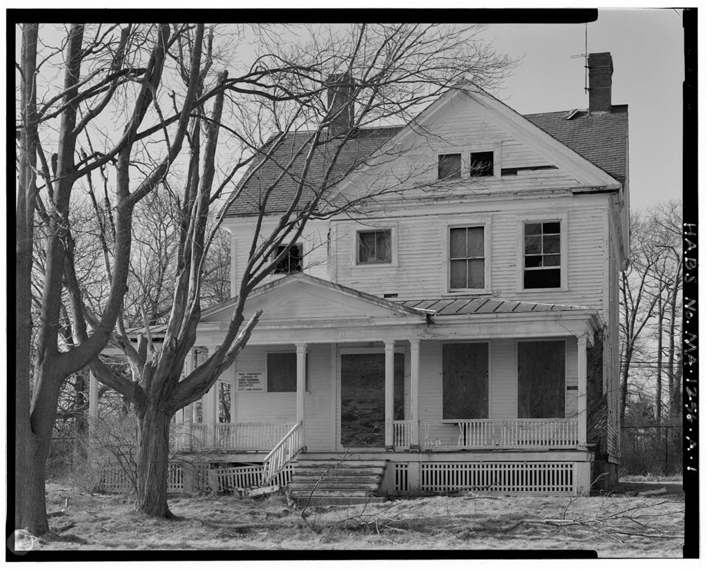
In he sold the rest of his land, then described as 90 acres "with a dwelling house," to Joseph Howland, a New Bedford merchant (Bristol Deeds, Southern District Taunton Books 16: Thus, as these transactions make clear, a house was built between and on the parcel at the end of Clark's Point, and this was presumably the farmhouse shown on an plan of the southern end of Clark's Point. In Joseph Howland sold the Clark's Point property, described as "the homestead where he now lives" with a "dwelling house and other buildings," to his brother Cornelius (Bristol Deeds, Fort Rodman Military Reservation HABS No.
MA-1256 (Page 4) Southern District Taunton Books 24: Cornelius Howland was a successful whaleman who owned and commanded a number of ships; he apparently live on the Clark's Point farm until he died in (Emery Howland The Clark's point property was then inherited by Cornelius' son, Edward Wing Howland (Bristol Probate Edward W.
Howland became a wealthy merchant and leading citizen of New Bedford; in when he first appears in the New Bedford tax records, he already owned part interest in three ships and his property was valued at (In the last year he is listed before selling the Clark's Point property, the total value of his property had increased to -Although Edward acquired the Clark's Point farm after his father's death in for ten years thereafter the property is not listed in the tax records. In for example, it is not assessed as part of Cornelius' estate and the only relevant assessment on Edward was for "horses, carriages &c.
and stock on farm" (New Bedford Tax Records The first specific mention of the Clark's Point farm occurred in when it was assessed at (New r Bedford Tax Records This was increased to in when the farm was described as having "two houses" (New Bedford Tax Records Since the increase in valuation from to is not very great, the implication is that the second house, presum- .
ably the "mansion house" on the plan, had already been built by probably sometime between when Edward acquired the property, and An drawing of Fort Taber indicates that the mansion house, shown closest to the fort, was Greek Revival in style, which is consistent with a construction date in the or The omission of the Clark's Point farm from the tax records between and is probably due either to the incompleteness of the records themselves (there is no assessment for either Cornelius or Edward W. Howland from or in or to the accessors' oversight. In any case, Edward owned and lived on the Clark's Point farm until On September 23 of that year he sold the southernmost 60 acres of the property, the part including the mansion house, carriage house, ice house, barn, and farmhouse, to Butler H.
Bixby of New York City for (Bristol Deeds, Southern District A copy of an map shows the sold property. The very next day, September 24, Bixby sold the same property to the U.S. Government for (Bristol Deeds, Southern District At the time of this transaction, Edward Howland was a successful and wealthy merchant, and it is not clear who Bixby was or why he was enabled to make such a large profit on the sale of the Clark's Point land to the U.S. Government.
The southern central portion of the project area was considered to have the potential for historical deposits associated with the Allen/Howland farmstead An intensive archaeological survey was conducted in the summer of (Elia, Jones, and Seasholes Subsurface testing in the south central portion of the project area did reveal substantial and potentially significant deposits associated with the Allen/Howland farmstead. The remains of the Howland mansion, which was located west of the farmstead buildings, were found to have been obliterated by subsequent military construction and landscape improvements to the property. Fort Rodman Military Reservation HABS No.
MA-1256 (Page 5) Subsurface testing in the vicinity of the Allen/Howland farmstead identified an intact house foundation and numerous features and associated archaeological deposits including a possible outbuilding foundation, a feature that may be associated with the barn, and a trash pit. More testing was recommended to further define these features and to assess the archaeological integrity of the remains in order to obtain more information about the use of the farmstead in both the pre-fort (before and fort eras.
A Phase II examination was conducted in involving hand-excavated of 41 test trenches and 20 shovel test pits Gones, Seasholes, The combined results of the Phase I -and Phase II excavations at the Allen/Howland farmstead produced extensive evidence of construction, occupation, destruction, and subsequent landscaping of the farmstead area. Certain structural elements of the farmstead, such as the house and rear wing foundations, were found to be intact, but most of the associated archaeological deposits were disturbed by later occupation and use of the site. Undisturbed deposits dating from the farmstead era through the early fort era of the site were identified in the areas of the rear wing and lean-to on the north side of the main house.
These deposits, although undisturbed by later (e.g., Endicott-Taft, World War I, World War II periods) occupation and construction at the site, contain artifacts that span the time of domestic and early military occupation of the farmstead. The archaeologi- cal evidence cannot be isolated to a particular period of occupation of the site. The Phase II examination concluded that the Allen/Howland farmstead was not potentially eligible, as an archaeological site, for the National Register of Historic Places due to its distur- bance, and the inability to differentiate the undisturbed deposits between the farmstead and early fort periods of occupation.
The Fort at Clark's Point Military activity on Clark's Point may date back to at least the American Revolution, but there is little known about the type of fortification there at that time and it is possible that the fortification consisted only of earthworks. It is known, however, that the whole of Clark's Point except the lighthouse parcel was privately owned throughout the first half of the century (see above) and that there was farmstead at southern end of the point. The National Register Inventory Nomination Form for the Fort Taber District states that the original fortification on Clark's Point was established during the American Revolution and consisted of a "series of earthworks ...
mounted with six 24-pound cannon" (NR Nomination Form 3); however, a late century history of New Bedford claims that "a sand battery on Clark's Point was thrown up April 27 and three twenty-four pounders were mounted" (Ellis Therefore, it is unclear whether a battery was established at Clark's Point during the American Revolution or whether the first fortification there was in the mid-19th century. Plans for the construction of the granite fort that stands at Clark's Point today were initiated around In a letter of 1 September to Colonel Joseph G. Totten, Chief Engineer of the U.S. Army, Major Richard Delafield stated that Fort Rodman Military Reservation HABS No.
MA-1256 (Page 6) the estimate for the work projected for Clark's Point cannot be completed for want of data upon which to calculate the excavation and embankment, a minute survey [deleted word] embracing the ground within 400 Yards of the Light House extended up Clarks Neck showing only the high points and valley to the distance of about a mile is desirable. Until such a survey of Clark's Point is made no farther progress can be made with the projed for that position (National Archives Correspondence hereafter NAC). Delafield, with the assistance of army engineer Captain Robert E. Lee, later completed plans -and estimates for fortifications at both Little Egg Shoal and Clark's Point. The plan was submitted in showing the outline of the proposed fort (National Archives Plan hereafter NAP).
The actual construction of the fort was delayed approximately 10 years. In the U.S': War Department purchased 60 acres of land at the southern tip of Clark's Point, "exclusive of the light house tract and certain roads" (U.S. Army for the purpose of establishing a fortification there. The exclusion of the roads from the property transfer was the first in a series of modifications made by the Army to satisfy New Bedfordians who wanted the southern extremity of Clark's Point to remain accessible to the public. An plan of the U.S. land on the point shows the position of the proposed fort within a "New Road" that the army was to construct north of its present location to provide public access (NAP 1858a).
A second plan, also produced in shows the revised location of the fort to the southwest of the location originally proposed and also includes an inset figure showing "the new pleasure Road on the shore--the old road--and the limits of the United States land being line A.--B. from Coast Survey maps in part" (NAP A report of the Special Board of Engineers on April 1, recommended that the new road be constructed "at a sufficient distance behind the fort to leave a considerable area below nearest point and foot of the glads". The matter of the construction of this public access road was the first in what became a series of negotiations between the U.S. Government, the City of New Bedford, and New Bedford citizens regarding public works projects and public recreation at Clark's Point.
The construction of the fort was "rapidly pushed forward Captain Cullum ... By the preparatory work was done, the foundations were in, and the fort's scarps were just beginning to show" (Parkman In addition to the granite fort, several ancillary structures were proposed for the fort complex. An outline tracing of Clark's Point, made in under the direction of the Corps of Engineers and updated in shows several structures, some proposed and some apparently already constructed, just north of the fort.
These include an old guard house, shed, stable, ordinance store house, old barracks, blacksmith shop, another old barracks, ordinance sergeants quarters, and other buildings (NAP It is difficult to determine which of these structures were actually constructed and which ones were just proposed, but all of these structures were located (or proposed) between the fort and the new road that passed just south of the farmstead buildings. Fort Rodman Military Reservation HABS No.
MA-1256 (Page 7) A lighthouse was built on top of the northeast corner of the fort to replace the one that had stood at the southern tip of the point since The new lighthouse and a new lighthouse keeper's residence were constructed sometime between and when a plan of that year shows the new lighthouse as part of the fort and a new lighthouse keeper's house just northeast of the farmhouse. By the fort was completed with the exception of the barbette emplacements over the casemates (Parkman Although the original plans for the fort called for a three- tiered structure of hand-cut granite blocks, by only two tiers of the fort had been complet- -ed and plans for the third tier were abandoned indefinitely.
The blocks that were to have been used in the construction of the third tier were apparently left lying about, and were subsequent- ly used by the City of New Bedford for the construction of a seawall around the.point (Roberts By the time the construction of the fort was nearing completion in its design was found to be virtually obsolete and the Board of Engineers recommended that "nothing further be done on it and that an earthen battery of twenty-six guns be placed on an elevation behind it" (Parkman In a plan of the new barbette battery was submitted to the Secretary of War showing a proposed five-sided battery for 26 guns north of the fort near the north property line (NAP The plan for a battery in this location underwent several modifications, but nothing was ever constructed until (see Battery Milliken below).
Throughout this period of construction the fort remained unnamed and is referred to generically in contemporary maps and correspondence as "the Fort at Clark's Point." Although plans for additional batteries were proposed for at Clark's Point after apparent- ly no major construction took place there for the next 20 years. Marine Park Clark's Point apparently was used as a recreation area, even though privately owned, prior to the establishment of the fort in the The exclusion of the roads from the U.S. title to the property in was intended so that the town could retain its scenic drive around the shores of the point; public access remained an issue throughout the remainder of the century.
In an ordinance was passed by the City of New Bedford "authorizing the mayor and others to bind the city in the matter of an agreement with the United States in regard to roads," at which time a compromise was reached between the city and the U.S. government to reroute the shore drive behind the fort (Parkman A plan of the fort complex made in and annotated in indicates that a new public road 80 feet wide would be built parallel to the northern boundary of the U.S. property should it become necessary "to exclude the public from the road in rear of the [construction] work" (NAP No additional construction at the fort took place after (with the possible exception of small-scale improvements and maintenance activities), and after the Civil War the fort was not needed for defense.
Therefore, the City of New Bedford set out to reclaim the area for its citizens. In the City of New Bedford petitioned the government for and was granted Fort Rodman Military Reservation HABS No. MA-1256 (Page 8) temporary jurisdiction of the military reservation in order to establish a recreation area there (NR Nomination Form 3). A tracing of the southern end of Clark's Point was made that same year by the New Bedford Board of Public Works and submitted to the U.S. Engineers Office. The plan shows the avenues and roads through the military reservation and contains written descriptions of landscaping improvements that were proposed for the complex. The western and eastern shore roads are labelled, respectively, West and East French Avenue. An "avenue 100 ft.
wide" was planned parallel to the northern property boundary and a new road was to be constructed -around the southern shore of the point where the shore drive had been prior to the fort's construction. The cut-off road behind the fort that was constructed by the U.S. Army for the town was to be discontinued when the new road was completed. Additional landscaping improvements are indicated on the plan as well. A retaining waltwas to be built around the southern edge of this road using "idle stone around the fort," presumably the granite blocks that had been planned for the construction of the third tier of the fort.
The underbrush was to be cleared from two large groups of trees in the northern portion of the property and it was proposed "to remove all old cross walls inside of the walls or fences surrounding the property, excepting the reservation for the ordinance sergeant and keeper of the light house" (NAP The property remained under the city's jurisdiction until when, due to the Spanish- American War, the U.S. Army reclaimed the military reservation (NR Nomination Form 3). Even so, the city attempted to retain the recreational benefits of Clark's Point; in a letter from Hon. Wm. S. Greene of Fall River (House of Representatives) to the U.S. Army on June 2, the City of New Bedford asked for a "renewal of privilege ...
to use the driveway known as East and West French Avenues and the Govt Stations at Clark's Point for Park Purpose." The letter also included a request that the New Bedford Street Railway Company be allowed to construct a bandstand in the north central part of the property (NAC 1899a). A plan that was approved by the City Engineer in and submitted to the U.S. Army in shows a proposed bicycle path six feet wide around the shore of Clark's Point following the cut-off road and has the "Proposed Band Stand" hand drawn in black ink (NAP The plan also labels the road parallel to the north property boundary ft. street to be thrown out by U.S. Government per agreement The bandstand was not constructed and it is not likely that the bicycle path was either, as the U.S.
Army began almost immediately to expand the fort's facilities. Endicott-Taft Period In the Endicott Board, which had been established by President Cleveland to make recommendations for strengthening the nation's defenses, presented a plan to greatly increase coastal fortifications and artillery. Five batteries and numerous ancillary structures were subsequently constructed at Fort Rodman between and The five batteries, with armament typical of Endicott Period batteries, were built flanking the granite fort: Batteries Fort Rodman Military Reservation HABS No.
MA-1256 (Page 9) Barton-Walcott 1 and 2, built in each contained one 8-inch disappearing rifle; Battery Gaston, built in contained two 3-inch rapid-fire rifles on pillar mounts; and Batter- ies Craig and Cross, built between and each contained two 5-inch rapid-fire rifles on barbette-carriages (NR Nomination Form 2). An map of Fort Rodman shows a proposed mortar battery in the northwest corner of the U.S. property (on the future site of Battery Milliken) (NAP 1899a), but it was not constructed. In addition to the batteries, numerous barracks, storage buildings, and other structures were constructed in the area behind (north of) the granite fort.
Several farmstead buildings were still -standing and a number of military buildings, including a hospital, guard house, and ordinance storehouse that had been built in this area by were also still in place. In Brigadier General M.I. Ludington, the Quartermaster General, asked Brigadier General John M.
Milson, Chief of Engineers, for information on whether any of these buildings were "suitable for the sheltering of troops, or casements which can be used for storage or other similar purposes-" (NAC The accompanying plan indicates that several of the farmstead buildings in particular were being used by the military: the mansion house is labelled "Engineers House;" the farmhouse is labelled "Fortkeeper;" and the barn and ice house (which is also labelled "barn") are both indicated on the plan as well. The lighthouse keeper's house is labelled as such. But in Milson's reply to Ludington (also April 15, he states that none of the buildings were suitable for garrison buildings and that none of the "casemates in the curtain of the old fort" were suitable for storage.
Milson suggested that the area east of the proposed mortar battery (located in the northwest corner of the property) be considered for the location of a garrison building (NAC An map of Fort Rodman, prepared by J.A.
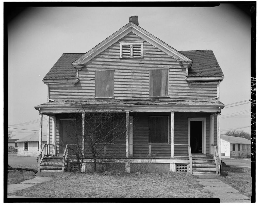
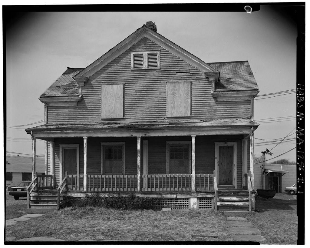
Lundeen, Captain of the 7th Artillery Com- manding Post, and submitted with an endorsement of Milson' s request, shows both the old buildings and proposed ones (NAC The former mansion house is referred to as the "Old Dwelling House, now used as offices by Engineering Department;" the former farmhouse if labelled "Ordinance Sergeant's quarters, now occupied by Engineer in charge;" and the former ice house is labelled "Old Stable." The lighthouse keeper's house was at that time occupied by the Ordinance Sergeant (NAC This plan also shows a proposed double set officers' quarters in the northeast corner of the property and a proposed single set officers' quarters just north of it.
An endorsement accompanying to this map from the Quartermaster recommended "the construction at once of a single set of officers' quarter, like those being put up at Fort DuPont and other places, in accordance with the plan submitted herewith, cost about (NAC In the U.S. Army published descriptions of its military posts and reservations, including Fort Rodman. That description and a plan made the same year show a significant increase in the number of structures at the reservation.
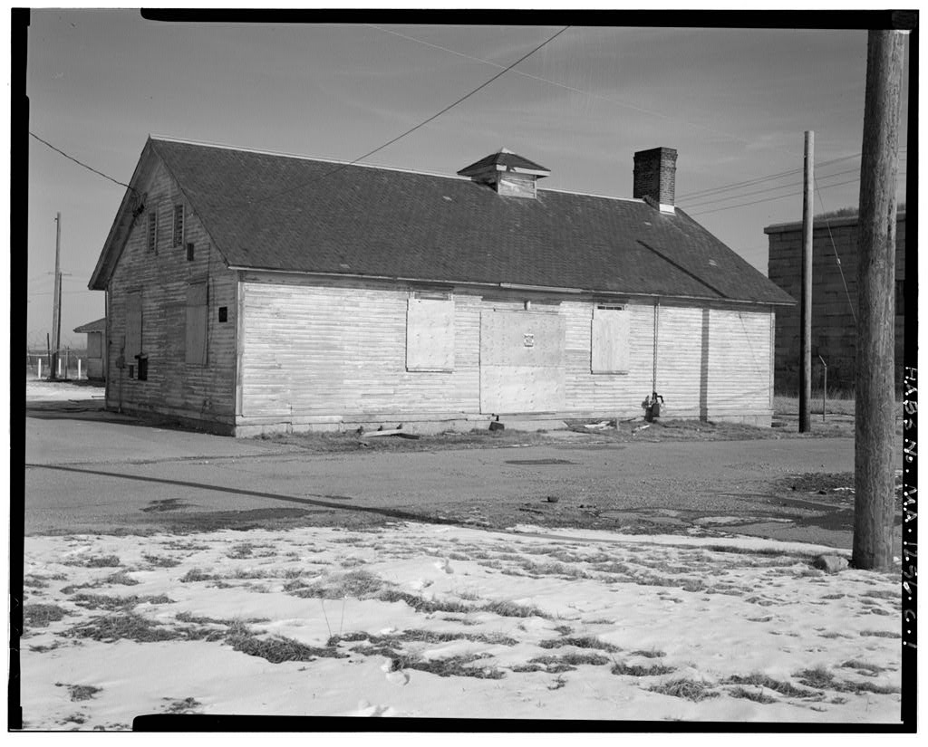
By that year, the Fort Rodman complex included three single-set officers' quarters; one single-set and one double-set non-commissioned staff quarters; temporary barracks with a capacity of 20 men; artillery barracks with a capacity of 109 men; a hospital, administration building, and guardhouse; and a variety of storehouses and service structures, such as a bakehouse, blacksmith shop, and fire apparatus building (U.S. Fort Rodman Military Reservation HABS No. MA-1256 (Page 10) Army The former lighthouse keeper's house had been removed and a new one was constructed adjacent to the double-set NCO quarters, shown on a plan. Between and a sewer system had been installed joining Fort Rodman with the City of New Bedford's system.
By additional buildings had been constructed in the area directly behind and north of the granite fort and more were proposed. Two more single set officers' quarters had been construct- ed in line with the first one and an administration building had been constructed south of the former farmhouse. Temporary barracks had been constructed to the west of the former mansion -house, and a hospital, a barracks building, and two other small structures wer.e located along the central access road.
A fourth single-set officers' quarters was proposed in line with the first three and a second double-set staff building was to be located next to the lighthouse keeper's residence near the first double-set building; these two structures were constructed by the following year (NAP In association with the new construction at Fort Rodman, there were also attempts to remove some of the older structures that were located on the military reservation. In a letter to Brigadier General Alexander MacKenzie, Chief of U.S. Army Engineers, dated March 15, Lieutenant Colonel J. H.
Willard, Corps of Engineers, stated that the post commander wanted "the old building at Fort Rodman, which has been used for office and storehouse by the Engineer Department" to be "abandoned and wrecked in order to continue grading for improv- ing the post" (NAC By April of that year, the removal of the house was approved and it was "turned over to Captain Walks to be dismantled" (ibid.). The building in question was undoubtedly the former mansion house because it is not shown on a plan, although the former farmhouse is. the structure was referred to in a March 21, endorsement of the request as "the old farm house which stood there when the land was purchased by the U.S. "(NAC It was considered to be poor condition and not worth moving to a new site.
In addition to the removal of the mansion house, the hospital (which is labelled "temporary barracks" on the plan) was also to be removed to allow for grading. It is interesting to note that the old farm buildings were not the only structures that were deemed obsolete and not worth preserving as part of the new phase of activity at Fort Rodman. In a letter to MacKenzie on April 25, Willard proposed "two improvements at Fort Rodman, Mass., which I think should be undertaken at an early day." The first was the removal of the abandoned lighthouse on the point and the second was the removal of the stone fort itself.
Concerning the granite fort, Willard argued that it is in the way of guns now and occupies a site which would be required if a larger battery should be built to replace the two detached 8-inch guns... The fort is of no defensive value, cannot be utilized for storage or quarters without great expense, and has no historical or sentimental associations. Projects for the defense of New Bedford have been handicapped by this obsolete fort, and will be so long as it remains, and I should regard its removal as worthy to be undertaken at once, even if it should cost the United States something to do it. I think it cannot be got out of the way too soon (NAC Fort Rodman Military Reservation HABS No. MA-1256 (Page 11) The U.S. Army met this proposal with apparent indifference.
In an accompanying endorse- ment, the Brigadier General of the Artillery stated that "due to the comparative unimportance of the defenses of New Bedford, the Chief of Artillery does not recommend that this work be done at this time unless ... the same can be accomplished without cost to the United States" (NAC Citizens of New Bedford, however, felt differently.
A letter "addressed to Roosevelt, protesting against the proposed demolition of the old stone fort at Clark's Point" was referred -to the Major General Ainsworth, Acting Secretary of War by William Loeb, Secretary to the President, on September 4, Loeb wrote that by direction of the president I beg to send you the enclosed communications concerning the rumor that it is contemplated to demolish the stone fort at Clark's Point, and to ask if you will be good enough to send the President a report on the matter (NAC 1906a). The reply consisted of a packet of transcribed letters of the correspondence received relative to that matter. William W. Crapo, of Crapo, Clifford & Prescott, Counselors at Law, New Bedford, had written to the Honorable William S.
Greene (House of Representatives) in Fall River, September 1, Mr Crapo wrote that there is a rumor floating around New Bedford and neighboring towns that it is contemplat- ed to demolish the stone Fort at Clark's Point, known as Fort Rodman. It is further rumored that this is to be done in order to enable the officers stationed there and their families to obtain a better view of the water. This is so ridiculous a reason for the destruction of a massive stone fortification, constructed by eminent military engineers at great cost, as leads me to pronounce the whole thing as a silly intention unworthy of credence ... There is very strong opposition to the demolition of the structure . . .
It is regarded by our shipping interests as a landmark of much importance in entering the harbor and departing therefrom. The mariners using this spot are entitled to a hearing in remonstrance if such mischief is seriously intended (NAC On September 5, Green then sent a copy of the letter to Colonel Willard, stating that he thought it was the intentions of the War Department under your direction to remove the fort but that I knew you had no animosity toward New Bedford, nor any desire to injure its maritime interests (NAC It is unclear, though, whether it was Greene who also corresponded with Roosevelt on the matter. Fort Rodman Military Reservation HABS No. MA-1256 (Page 12) Mr. Greene's efforts ultimately has an impact.
An endorsement of Willard's proposal to demolish the fort (presumably also made in by the Lieutenant Colonel, Corps of Engi- neers, stated that it is my opinion that the removal of the old fort on this account is, in view of the strong protest of Mr. Greene, which undoubtedly expresses the wishes of the New Bedford people and of the navigators concerned, not desirable at this time ... in the event of war threatening, the obstructing portions of the fort could be removed by the use of explosives in a short time with damage to the batteries (NAC The fort, however neither was dismantled nor exploded, as it still stands today. Meanwhile, construction activity north of the fort continued for at least the next eight years.
By the military complex included a post exchange just west of the where the temporarf barracks and former mansion house had stood, and a second temporary barracks and guard house at the entrance to the fort complex. Several new shed and storage buildings were constructed behind the fort and there were also plans for two additional double-set officers' quarters and one more single-set officers' quarters along the east access road to the fort. World War! During World War I an additional battery and more support structures were built at Fort Rodman. The new battery was a two-gun, 12-inch barbette, which was installed at the recom- mendation of a War Department board of review because the increased range and angle of fire of naval guns had made the Endicott period batteries obsolete.
The plans for the proposed battery at Fort Rodman were presented to the District Engineer Officer in (NAC and, because the waterfront was already occupied by the existing batteries, it was decided to locate the new one on a rise in the northwest part of the site. The appropriation for its construc- tion was made in May with the request that "construction be expedited" (NAC 9th Indorsement) but it was not completed until The new battery was named Battery Milliken in honor of a New Bedford soldier killed in World War I. Meanwhile, many new barracks and related structures were built between October and August to house men who were going to be sent overseas.
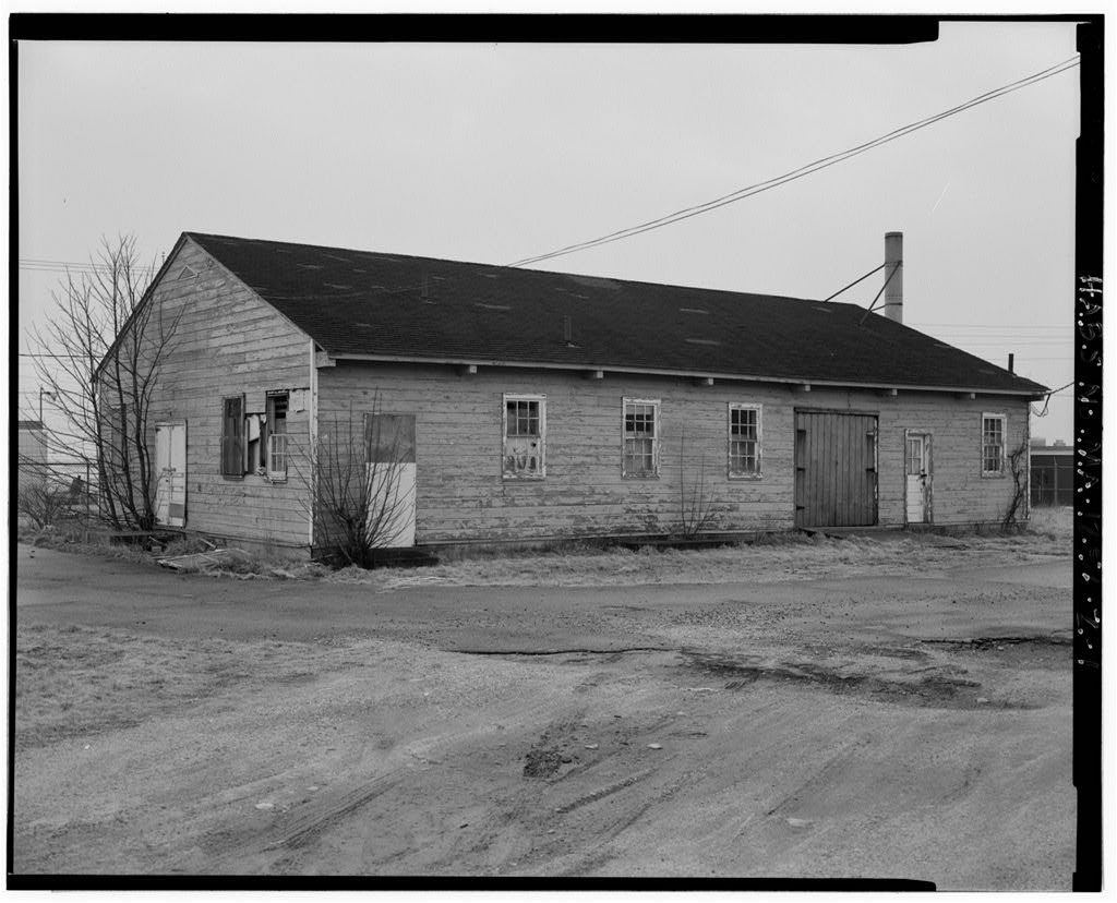
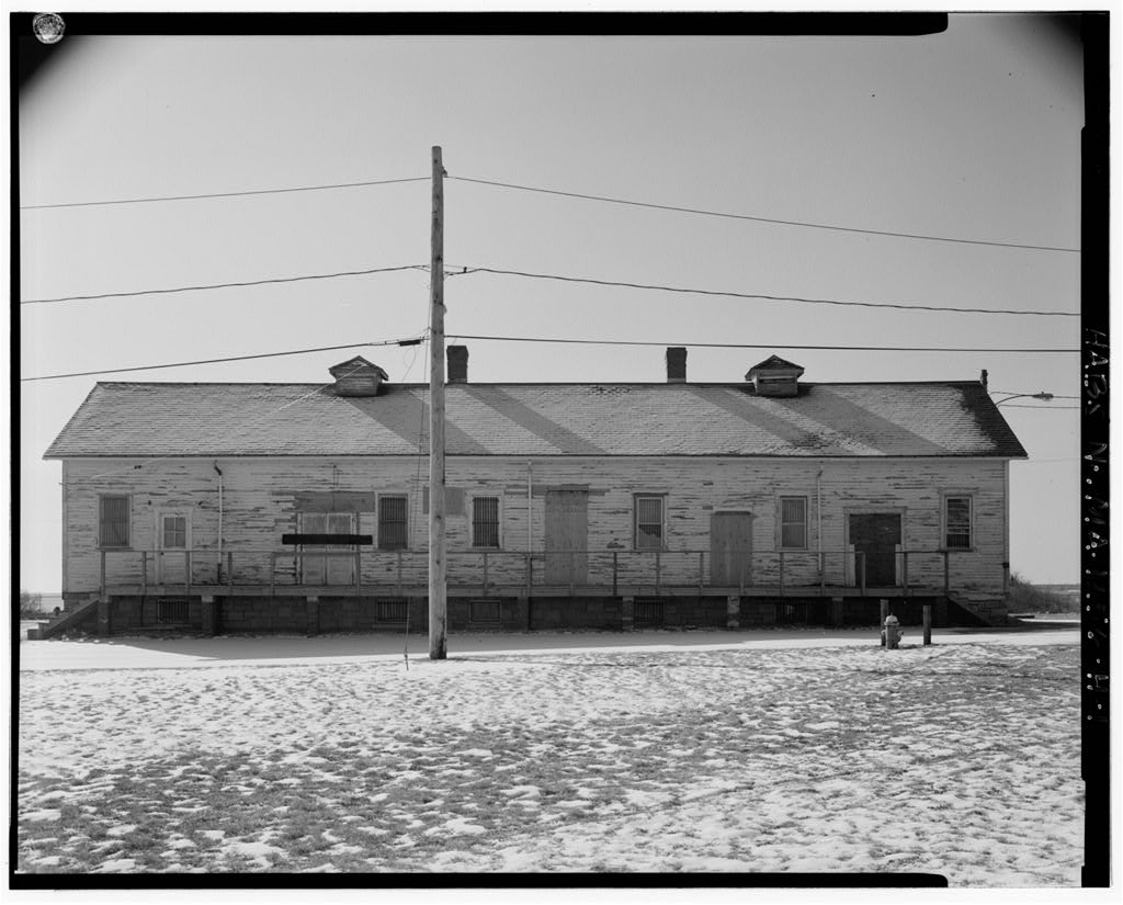
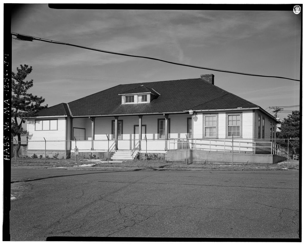
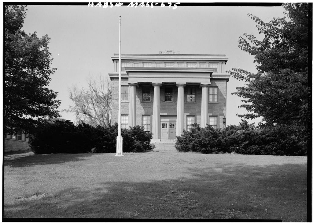
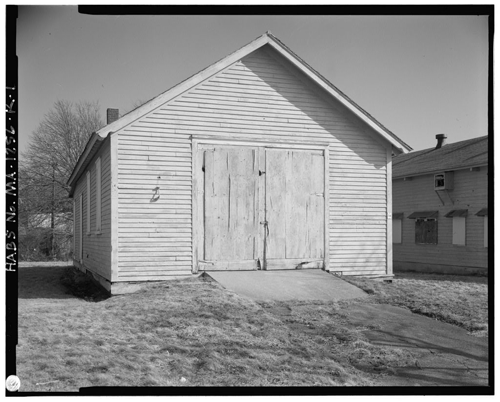
Altogether, 23 new buildings were erected: six barracks, three mess halls, two lavatories, six officers' quarters, four storehous- es, one tool house, and one shelter for the searchlight detail. Most of these structures were located either on a new road that ran diagonally from the present non-commissioned officers' quarters (HABS No. MA-1256-G) to the fire apparatus building {HABS No. MA-1256-K), or on the same road as the present post exchange (HABS No. MA-1256-J). Most of these buildings were sold to wrecking companies and demolished in the and early they all had definitely been taken down by World War II World War II produced another wave of construction at Fort Rodman.
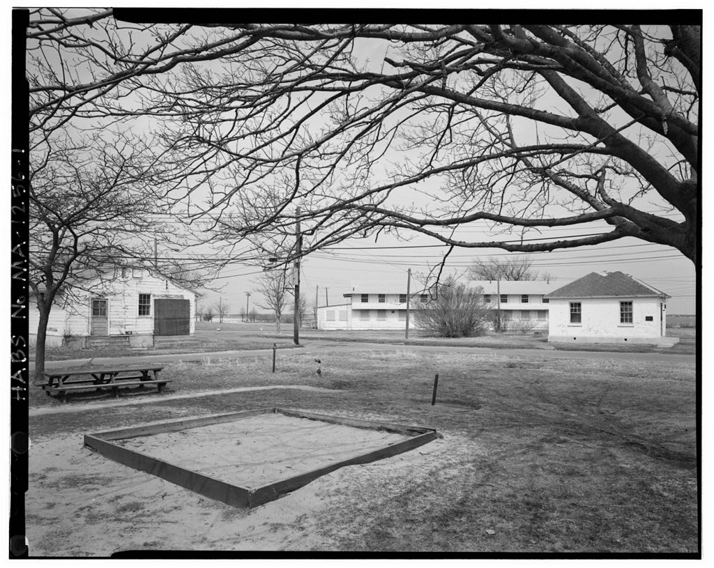
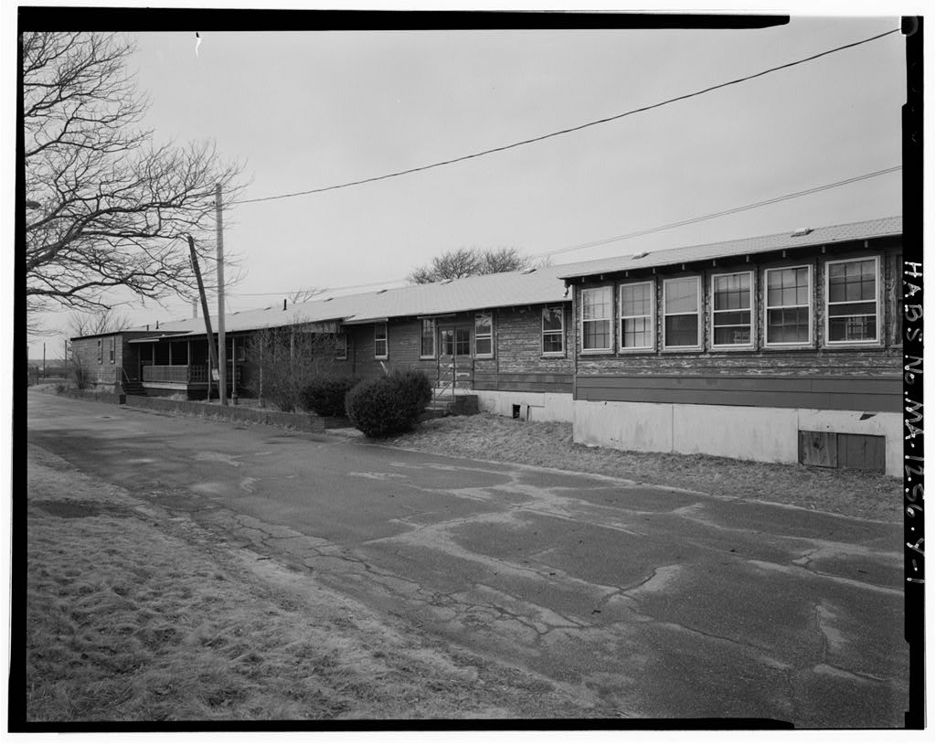
Most of the buildings erected were "temporary" structures to serve troops mobilized in and These Fort Rodman Military Reservation HABS No. MA-1256 (Page 13) "temporary" buildings were arranged in company "blocks," each consisting of three barracks, one mess hall, one company administration (supply) building, and one company day (recre- ation) room. Five such blocks were built at Fort Rodman (among these are HABS No. MA- HABS No. MA-1256-0, HABS No. MA-1256-Q, HABS No. MA-1256-U, HABS No. MA-1256-X, HABS No. MA-1256-P, HABS No. MA-1256-R, HABS No. MA-1256-M, HABS No. MA-1256-W. Other buildings erected at Fort Rodman during World War II included an officers' quarters (HABS No. MA-1256-AA), recreation building (HABS No. MA-1256-L), post exchange (HABS No.
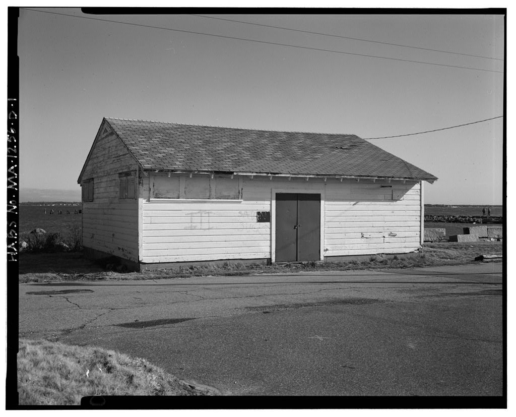
MA-1256-Z), hospital or ward room (HABS No. MA-1256-Y), gas chamber (HABS No. MA-1256-D), garage (HABS No. MA-1256-AC), and storage buildings -(HABS No. MA-1256-V, HABS No. MA-1256-E). Most of these buildings are located north of the Endicott-Taft period buildings in an area formerly used as a parade ground. Also during World War II, Battery Milliken was substantially rebuilt. The development of the airplane had made open batteries vulnerable, so the two 12-inch guns were enclosed in heavy concrete casements (gun chambers) protected by reinforced concrete canopies and connected by a series of underground rooms and tunnels. The work was completed in but this fortifica- tion almost immediately became obsolete and the guns were removed shortly after the war.
Post World War II to the Present After the war, on June 5, Fort Rodman was "declared surplus" (Roberts The base was deactivated, and in it became a training center for army and navy reserves. In the a few more buildings were erected, and some of the buildings were used by the Job Corps. In the City finally acquired all of Fort Rodman except for the section that is still an army base. The fort and all of the adjacent batteries (with the exception of Battery Milliken) were listed on the National Register of Historic Places as the Fort Taber District. Today, most of the World War II buildings are now used by various city-run programs, such as Head Start, a day care center, Camp Kennedy, and Sea Lab.
 Block
Block