BlockBefore
Decorative drawing: a county panorama. Not a photograph of this place.

Ashland County, Ohio

62 topographic sheets and 26 fire insurance atlases across 5 places.

Research this county

This curated hub for Ashland County, Ohio brings together the page's documented record links, visible map or image evidence where published, and routes to related local records.

What is documented here?

Use the page's provenance and linked records to distinguish the source material from the site's navigation and summaries.

How should I cite it?

Open the original record, preserve its repository and identifier, then use the citation tool for this page as a path back to the source.

Where should I go next?

Follow the county or state hub for related places and records, then use the guide for a source-aware research sequence.

From the record

“The principal object of the Indians in killing the Zeimers was plunder. Frederick Zeimer was wealthy, as wealth was rated in the pioneer times, and it was supposed that he kept considerable money in the house. The news of the massacre soon spread over the country.”

Story Of Kanotche - A History of the Pioneer and Modern Times of Ashland County : from the Earliest to the Present Date (1863). Machine-read text.

11 National Register listings · 25 businesses named in the fire insurance atlases from 1884 to 1924 · the 1863 county history tells 30 stories and names 928 people · people the book names include James Allison (Mohican Township, 1863) · Henry Andress (Vermillion Township, 1863) (machine-read).

Sources: the county history on the Internet Archive · the National Register database, National Park Service

Ohio within the United States
Ashland County within Ohio
Explore by year 1820 1950

What the record shows

  • 5 places in this county were surveyed for fire insurance: Ashland, Loudonville, Perrysville, Hayesville, Jeromesville, between 1884 and 1950.
  • 26 fire insurance atlas(es) survive for the county. Topographic coverage is national; fire insurance survey reached only incorporated places with something worth insuring.
  • 419 topographic sheet readings cover the county's settlements.
  • 11 properties here are on the National Register of Historic Places, including 7 houses and farms.
  • 4 of the 11 listings were added during the 1970s.
  • The Geographic Names Information System records 32 populated places in this county; 0 are covered by at least one topographic sheet.
  • 9 public-domain county histories, 1863 to 1913, supply 1,140,501 words of narrative reproduced here in full.

What happened here

30 accounts

A captivity, a drowning, a famine, a man scalped clearing his lot in 1789. These are passages from A History of the Pioneer and Modern Times of Ashland County : from the Earliest to the Present Date, written while people who remembered the events were still alive, and each one opens the section it comes from.

1863, Vermillion Township

Coulter Family

"The Coulter family are known as among the earliest settlers at Perrysville, on the Black Fork. Thomas Coulter (the father of John) was born in the State of New York, and moved from thence with his father to the Wyoming Valley, Pennsylvania, and was living there at the time of the Wyoming massacre.

Read the rest of this passage

1863, Vermillion Township

Murder Op John Whitney

Among the criminal annals that have rendered Hanover Township somewhat conspicuous, none have attracted so large a share of public attention as the murder, on the night of the presidential election of 185G, of John Whitney. He was a worthy and highly-esteemed citizen, and the circumstances attending his death created general astonishment.

Read the rest of this passage

1863, Ashland City

Settlements And Improvements

The spring of 1812 saw the tide of emigration on the increase. At that period a war was impending between Great Britain and the United States. This checked the influx of the pioneers, for it was evident the Indians of the northwest would be invited to assist the enemy. In fact, it had been observed for nearly two years, that the Greentown and Jerometown or Mohican Johnstown Indians had been in the habit of making frequent visits to Upper Sandusky, and always returned with new blankets, tomahawks and ammunition in abundance.

Read the rest of this passage

1863, Ashland City

Old Tom Lyons

Tom Lyons, an old Indian of an infamous character, who had taken a bloody part in the Wyoming massacre, (1778), was killed in the southern part of Ashland county in about 1820, by a young man named Joe Haynes to avenge the murder of a kinsman. The killing occurred on the outskirts of the Leedy swamp, in the southern part of Jefferson township, Richland county.

Read the rest of this passage

1863, Ashland City

An Indian Hunter

John McConnell was called an Indian hunter as well as a beast hunter, for the reason that his kindred had suffered more from the murderous assaults of Indians than from the wild beasts of the forests, had an encounter with a couple of Indians on the Wabash which is worthy of record. At an Indian camp he was visiting, his hunter's knife had attracted their attention, and he was importuned to sell it.

Read the rest of this passage

1863, Ashland City

Story Of Kanotche

The principal object of the Indians in killing the Zeimers was plunder. Frederick Zeimer was wealthy, as wealth was rated in the pioneer times, and it was supposed that he kept considerable money in the house. The news of the massacre soon spread over the country. Although there was neither telegraph nor telephone in those days, yet news spread and flew -

Read the rest of this passage

1863, Ashland City

The Steingraver Case

The first murder trial in Ashland county was that of Charles Steingraver, charged with the murder of Clarinda Yantilburg, a blind girl, aged ten years and two months. Steingraver was in the employ of Mr. Yantilburg as a farm hand, and on the 4th of July, 1851, the Yantilburg family went to Perrysburg, Ashland county, to attend a Sunday school celebration, leaving Steingraver and the blind girl at home.

Read the rest of this passage

1863, Ashland City

The Thornton Pool Case

The second murder trial in Ashland county was that of Thornton Pool, charged with the killing of Noah Mock, at the town of Orange, on December 17, 1853. The tragedy had its origin in the matter of seven cents that had been used at a raffle. The money belonged to Mock but had been appropriated by Pool, and in the controversy growing out of the affair, Pool stabbed Mock fatally.
Read the rest of this passage

1863, Ashland City

The Eighty-Second Regiment, Ohio Volunteer Infantry

The Eighty-second was recruited in Ashland, Logan, Marion, Union and Richland counties, for three years. It was commanded by Colonel James Cant- well, who was killed in the second battle of Manassas. The regiment was mustered into service December 31, 1861, and contained nine hundred and sixtyeight men.

Read the rest of this passage

1863, Ashland City

The Copus-Zeimer Monuments

At a meeting of the Ashland County Historical Society held Saturday September 10, 1881, a movement was inaugurated to erect monuments to Martin Ruffner, James Copus and the Zeimers, killed by the Indians, September 15, 1812. A committee was appointed to solicit funds for that purpose and succeeded in getting a sum sufficient to purchase two monuments, one of which was placed at the graves of Martin Ruffner and the Zeimers, the other at the burial place of James Copus and the soldiers who were killed defending his home.

Read the rest of this passage

1863, Ashland City

Prediction Fulfilled

The *Rev. J. F. McGaw, in his interesting, but misleading romance of Philip Seymour, makes the following prediction, that monuments in time would be erected commemorative of Martin Ruffner, James Copus, the Zeimer family and the soldiers who had been killed on Copus hill in 1812, which has been appropriately fulfilled.

Read the rest of this passage

1863, Ashland City

Sebastian Culler

Sebastian Culler occupies one of the old historic farms of the county, whereon stands a monument that was erected to the memory of four white settlers who were massacred here by the Indians on the 10th of September, ^812. It seems hardly possible when one looks over Mr. Culler's well cultivated fields and substantial improvements that this district could have been the scene of savage cruelty less than a century ago, for the farm today speaks only of peace and progress, being a well developed property of three hundred and sixty acres situated on section 25, Mifflin township.

Read the rest of this passage

1863, Vermillion Township

Coulter Family

"The Coulter family are known as among the earliest settlers at Perrysville, on the Black Fork. Thomas Coulter (the fjather of John) was born in the State of New York, and moved from thence with his father to the Wyoming Valley, Pennsylvania, and was living there at the time of the Wyoming massacre.
Read the rest of this passage

1863, Vermillion Township

Murder Of John Whitney

Among the criminal annals that have rendered Hanover Township somewhat conspicuous, none have attracted so large a share of public attention as the murder, on the night of the presidential election of 1866, of John Whitney. He was a worthy and highly-esteemed citizen, and the circumstances at* tending his death created general astonishment.

Read the rest of this passage

1863, Ashland City

Address By R. M. Campbell

I greet with pleasure this concourse of people, and extend congratulation to the old and young assembled here, on the historic hill today. We rejoice to behold this bright, auspicious morn, so full of interesting associations and memorable reminiscences. Though we meet to recall sad scenes and pay tribute to murdered valor, yet let us be thankful that we live in such an age as this, and surrounded by such cheering circumstances as meet us on every hand, full of pleasant joy and spanning our whole heavens with enchanting prospects for the future of our native land.

Read the rest of this passage

1863, Ashland City

The Prediction Fulfilled

Mr. Graham's History ot Richland County contains a full and authentic account of the massacre of the Zimmer family and Martin Ruffner, as well as the fiercely fought Copus battle. To its pages we refer the reader who seeks further information concerning the facts upon which McGaw's romance is built.

Read the rest of this passage

1863, Vermillion Township

Coulter Family

"The Coulter family are known as among the earliest settlers at Perrysville, on the Black Fork. Thomas Coulter (the father of John) was born in the State of New York, and moved from thence with his father to the Wyoming Valley, Pennsylvania, and was living there at the time of the Wyoming massacre.

Read the rest of this passage

1863, Vermillion Township

Murder Of John Whitney

Among the criminal annals that have rendered Hanover Township somewhat conspicuous, none have attracted so large a share of public attention as the murder, on the night of the presidential election of 1856, of John Whitney. He was a worthy and highly-esteemed citizen, and the circumstances attending his death created general astonishment.

Read the rest of this passage

1863, Ashland City

Old Tom Lyons

Tom Lyons, an old Indian of an infamous character, who had taken a bloody part in the Wyoming massacre, (1778), was killed in the southern part of Ashland county in about 1820, by a young man named Joe Haynes to avenge the murder of a kinsman. The killing oecurred on the outskirts of the Leedy swamp, in the southern part of Jefferson township, Richland county.

Read the rest of this passage

1863, Ashland City

An Indian Hunter

John McConnell was called an Indian hunter as well as a beast hunter, for the reason that his kindred had suffered more from the murderous assaults of Indians than from the wild beasts of the forests, had an encounter with a couple of Indians on the Wabash which is worthy of record. At an Indian camp he was visiting, his hunter's knife had attracted their attention, and he was importuned to sell it.

Read the rest of this passage

1863, Ashland City

Story Of Kanotche

The principal object of the Indians in killing the Zeimers was plunder. Frederick Zeimer was wealthy, as wealth was rated in the pioneer times, and it was supposed that he kept considerable money in the house. The news of the massacre soon spread over the country. Although there was neither telegraph nor telephone in those days, yet news spread and flew -

Read the rest of this passage

1863, Ashland City

The Steingraver Case

The first murder trial in Ashland county was that of Charles Steingraver, charged with the murder of Clarinda Vantilburg, a blind girl, aged ten years and two months. Steingraver was in the employ of Mr. Vantilburg as a farm hand, and on the 4th of July, 1851, the Vantilburg family went to Perrysburg, Ashland county, to attend a Sunday school celebration, leaving Steingraver and the blind girl at home.

Read the rest of this passage

1863, Ashland City

The Thornton Pool Case

The second murder trial in Ashland county was that of Thornton Pool, charged with the killing of Noah Mock, at the town of Orange, on December 17, 1853. The tragedy had its origin in the matter of seven cents that had been used at a raftle. The money belonged to Mock but had been appropriated by Pool, and in the controversy growing out of the affair, Pool stabbed Mock fatally.

Read the rest of this passage

1863, Ashland City

The Eighty-Second Regiment, Ohio Volunteer Infantry

The EHighty-second was recruited in Ashland, Logan, Marion, Union and Richland counties, for three years. It was commanded by Colonel James Cant- well, who was killed in the second battle of Manassas. The regiment was mustered into service December 31, 1861, and contained nine hundred and sixtyeight men.

Read the rest of this passage

1863, Ashland City

The Copus-Zeimer Monuments

At a meeting of the Ashland County Historical Society held Saturday September 10, 1881, a movement was inaugurated to erect monuments to Martin Ruffner, James Copus and the Zeimers, killed by the Indians, September 15, 1812. <A committee was appointed to solicit funds for that purpose and succeeded in getting a sum sufficient to purchase two monuments, one of which was placed at the graves of Martin Ruffner and the Zeimers, the other at the burial place of James Copus and the soldiers who were killed defending his home.

Read the rest of this passage

1863, Ashland City

Prediction Fulfilled

The: Rev. J. F. McGaw, in his interesting, but misleading romance of Philip Seymour, makes the following prediction, that monuments in time would be erected commemorative of Martin Ruffner, James Copus, the Zeimer family and the soldiers who had been killed on Copus hill in 1812, which has been appropriately fulfilled.

Read the rest of this passage

1863, Ashland City

Sebastian Culler

Sebastian Culler occupies one of the old historic farms of the county, whereon stands a monument that was erected to the memory of four white settlers who were massacred here by the Indians on the 10th of September, 1812. It seems hardly possible when one looks over Mr. Culler's well cultivated flelds and substantial improvements that this district could have been the scene of savage cruelty less than a century ago, for the farm today speaks only of peace and progress, being a well developed property of three hundred and sixty acres situated on section 25, Mifflin township.

Read the rest of this passage

1863, Ashland City

The Copus Monument

R. M. Campbell, Esq., was then introduced to the andience and held them spell-bound with one of his inimitable addresses. (See published address.) Following this was music by the Huff brother's band. Mrs. Sarah Vail, daughter of James Copus, and who was present at the time her father and three soldiers were killed, was in-.

Read the rest of this passage

1863, Ashland City

Address By R. M. Campbell

I greet with pleasure this concourse of people, and extend congratulation to the old and young assembled here, on the historic hill today. We rejoice to behold this bright, auspicious morn, so full of interesting associations and memorable reminiscences. Though we meet to recall sad scenes and pay tribute to murdered valor, yet let us be thankful that we live in such an age as this, and snrrounded by such cheering circumstances as meet us on every hand, full of pleasant joy and spanning our whole heavens with enchanting prospects for the future of our native Jand.

Read the rest of this passage

1863, Ashland City

Rosella The Prediction Fulfilled

Mr. Graham's History of Richland County contains a full and authentic account of the massacre of the Zimmer family and Martin Rufiner, as_ well as the fiercely fought Copus battle. To its pages we refer the reader who seeks further information concerning the facts upon which McGaw's romance is built.

Read the rest of this passage

Photographs

1 photograph,

Taken for the Office of War Information and the Farm Security Administration, who photographed the country between 1935 and 1944. Works of United States government photographers, with no known restriction on use. Each opens its catalogue record.

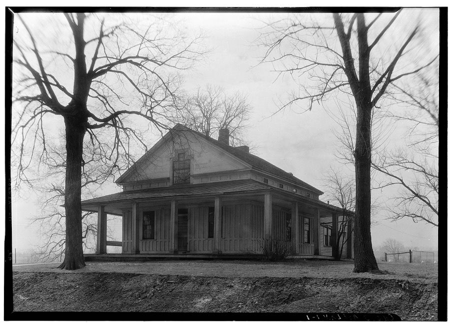
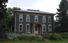
Freer House, Wooster Road, Ashland, Ashland County, OH
Unattributed, . Library of Congress

Places on the National Register

11

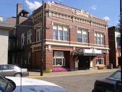
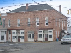
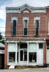
Every property in this county listed on the National Register of Historic Places, with the year it was listed and the federal nomination document.

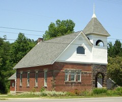
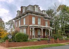
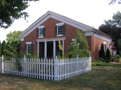
Photograph PropertyType ListedReference
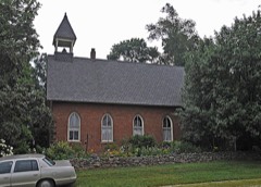
Anderson Schoolhousebuilding197777001040
Ashland County Courthousebuilding197979003786
Black, Philip J., Housebuilding198080002935
Bull, T.J. and Sarah, Housebuilding200707000302
City Hall and Opera Housebuilding199796001618
Garst, John, Housebuilding198282003539
Hayesville Opera Housebuilding197676001364
Kelley, William, Hardware Store--Hayesville Odd Fellows Hallbuilding2017100000662
Lakefork Schoolbuilding198282003538
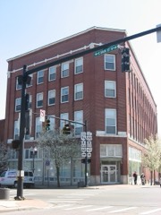
Myers Block--Home Company Buildingbuilding199796001620
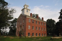
Vermilion Institutebuilding197878002000

Covered bridges

0

Ashland County holds 0 covered bridges on the National Register, more than any other property type here. Each is a listed structure with a federal nomination on file.

Digitised newspapers

4 issues

Sampled issues, machine-read from the Library of Congress scan and published page by page, so every headline and column is searchable text.

The Ohio Union

Ashland, Ohio, 1849 to 1854. Machine-read from the Library of Congress scan.

Bird's-eye views and land ownership maps

3

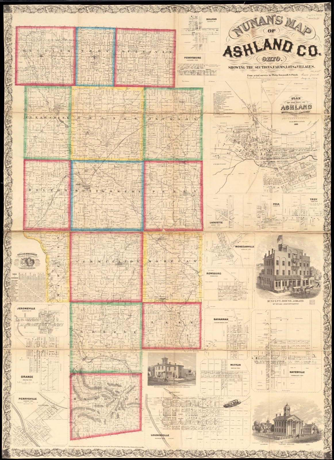
Drawn when these were printed as single large sheets: the town seen from the air, and the county divided into its farms with every owner named. Each opens the original at the Library of Congress.

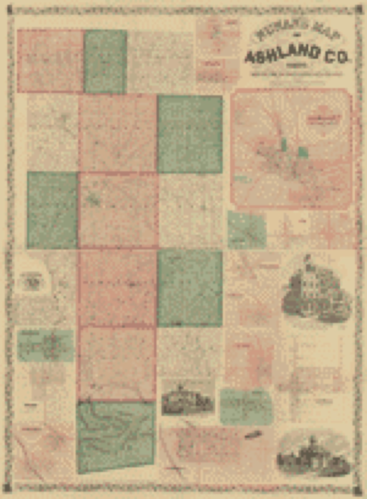
Land ownership map, 1861 - Map of Ashland County, Ohio
Land ownership map (1861) - Map of Ashland County, Ohio. Library of Congress.
Land ownership map, 1861 - Nunan's map of Ashland Co., Ohio : showing the sections, farms, lots, & villages
Land ownership map (1861) - Nunan's map of Ashland Co., Ohio : showing the sections, farms, lots, & villages. Library of Congress.
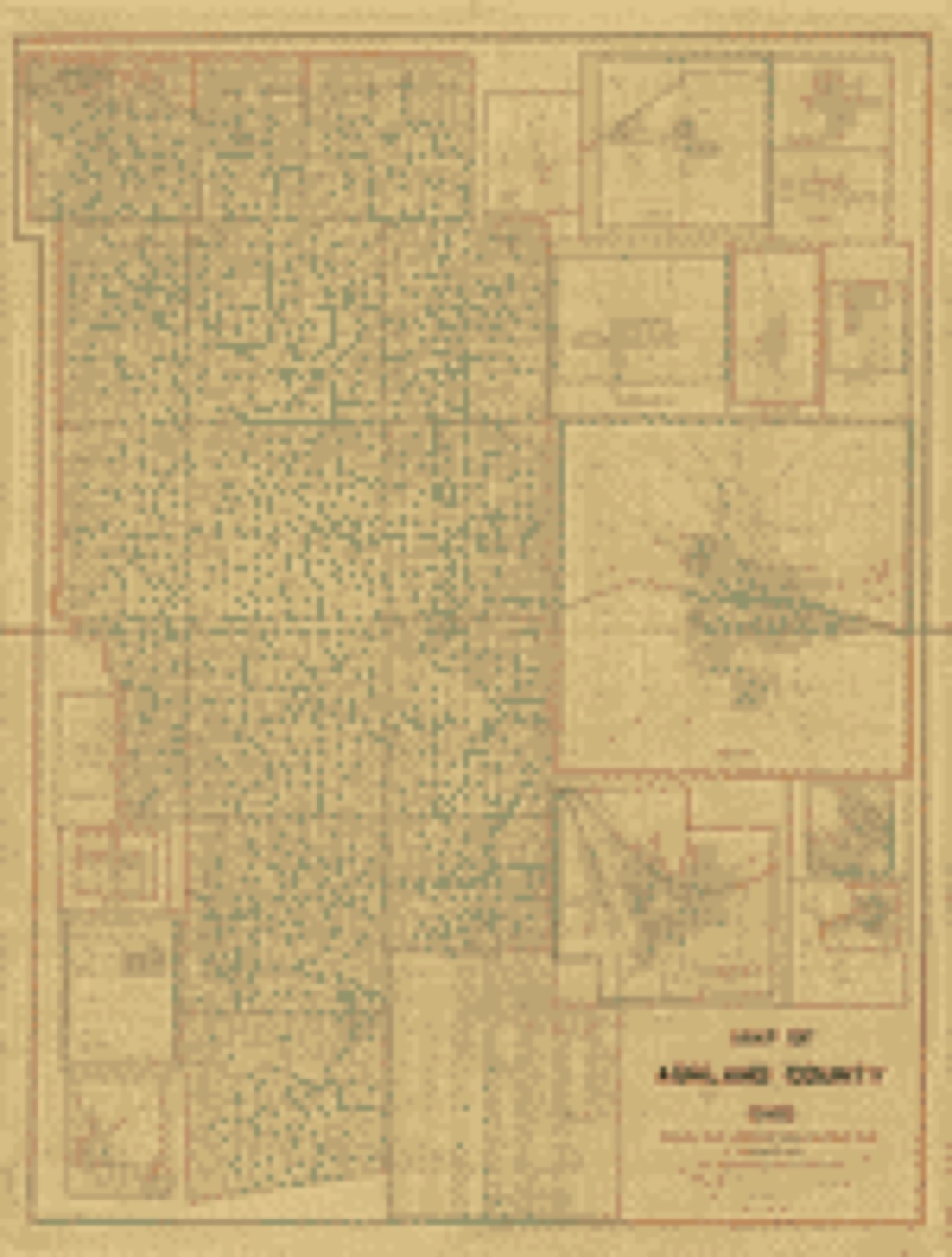
Land ownership map, 1897 - Map of Ashland County, Ohio
Land ownership map (1897) - Map of Ashland County, Ohio. Library of Congress.

Photographs from libraries nationwide

3 of 14 shown

Selected from the Digital Public Library of America's 14 image records catalogued for this county. Every one shown here carries a public-domain status or a licence that permits reuse on a site that carries advertising; non-commercial, share-alike and restricted images are excluded. The selection is spread across the county's towns (at most eight per town), so no single institution's bulk upload crowds out the rest. Each opens the holding library's record, and the complete set at the Digital Public Library of America is one click away.

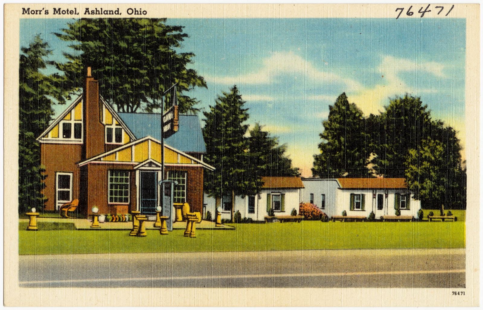
Morr's Motel, Ashland, Ohio, Boston Public Library - undated
Morr's Motel, Ashland, Ohio. Boston Public Library, via the Digital Public Library of America.
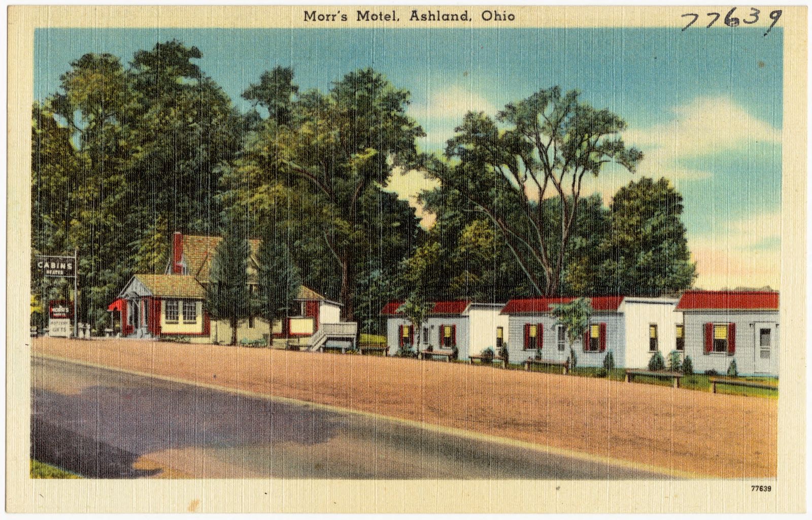
Morr's Motel, Ashland, Ohio, Boston Public Library - undated
Morr's Motel, Ashland, Ohio. Boston Public Library, via the Digital Public Library of America.
Nunan's map of Ashland Co., Ohio showing the sections, farms, lots, & villages, Boston Public Library - undated
Nunan's map of Ashland Co., Ohio showing the sections, farms, lots, & villages. Nunan, Philip, Boston Public Library, via the Digital Public Library of America.

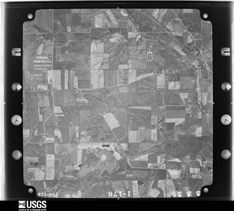
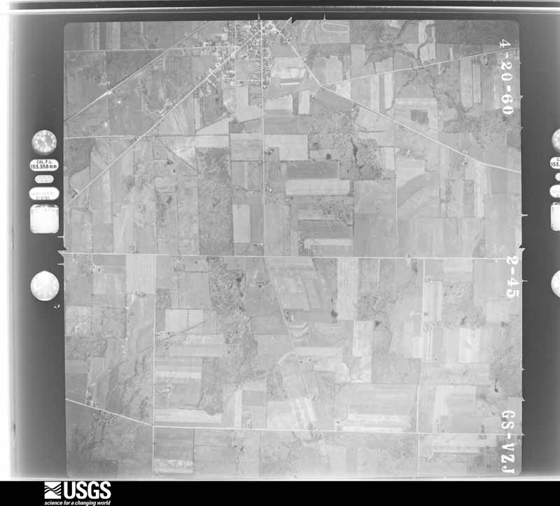
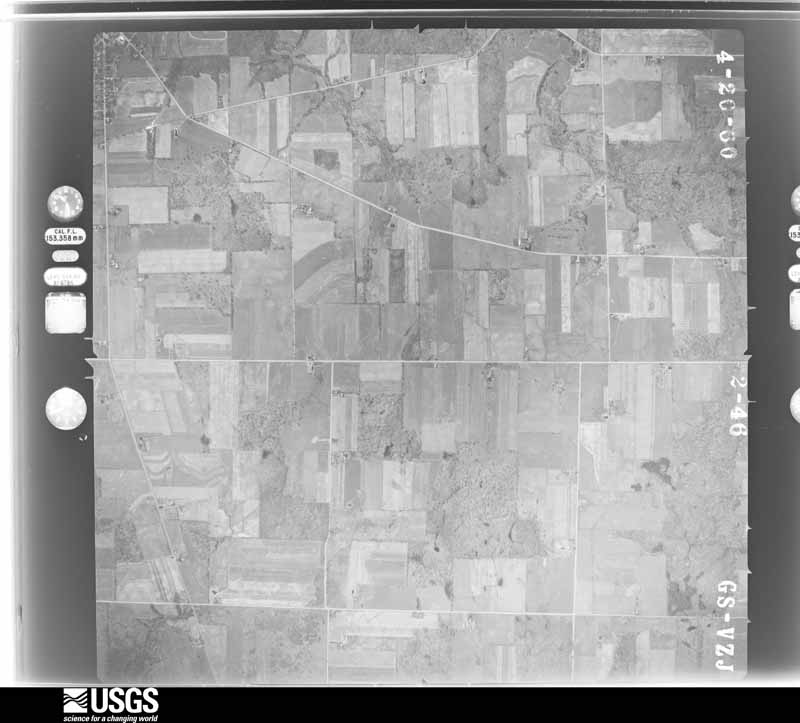
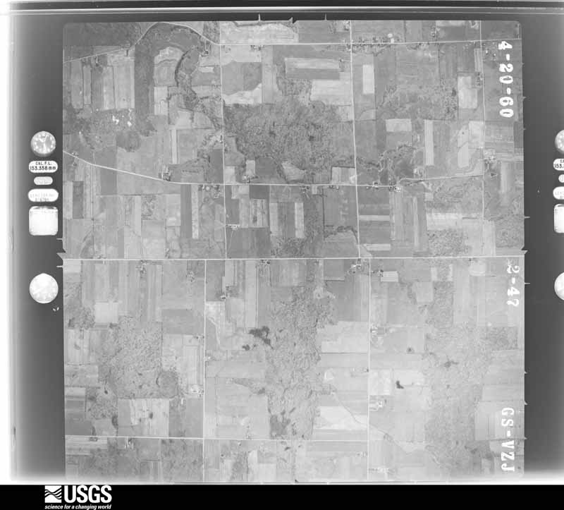
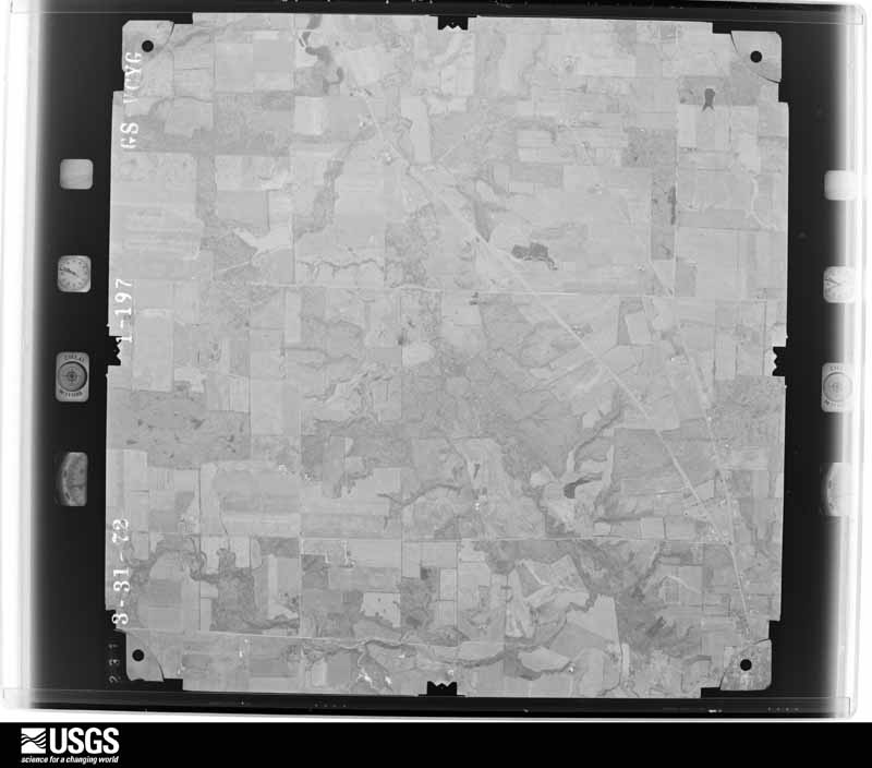
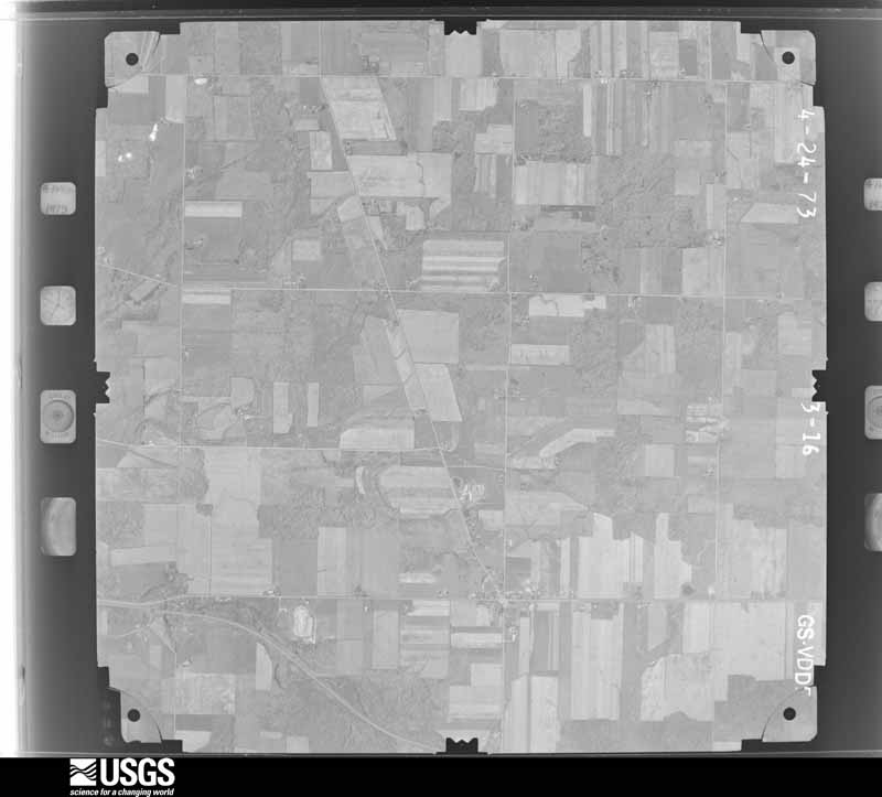
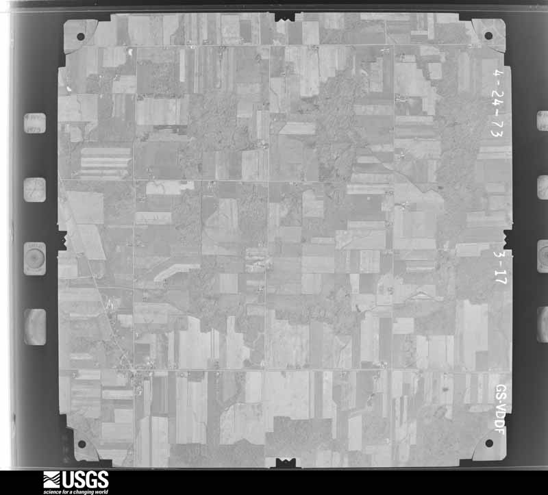
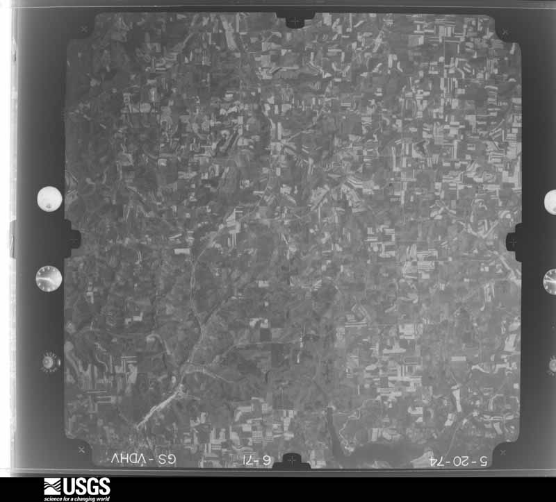
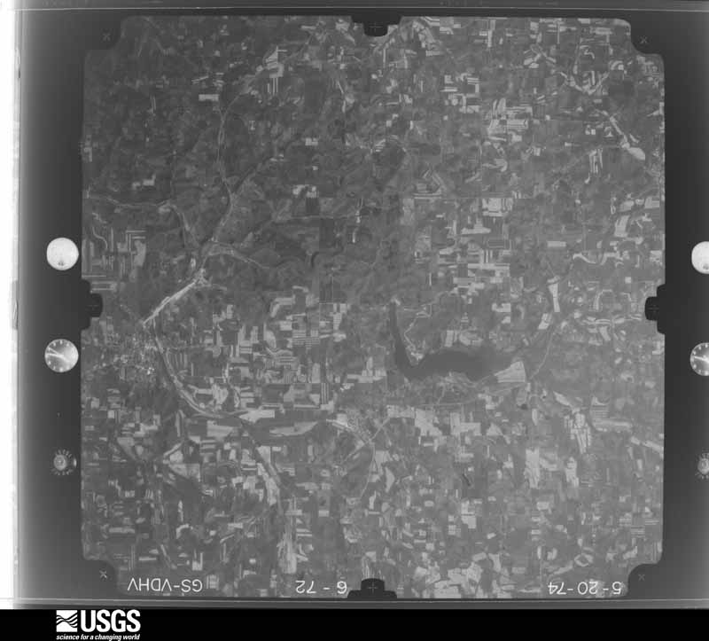
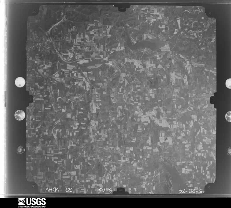
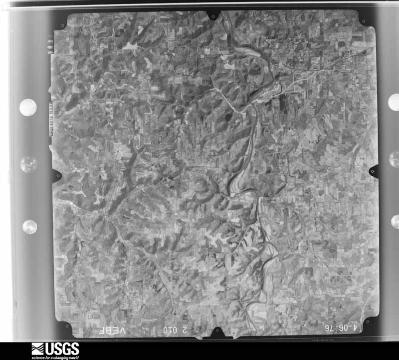
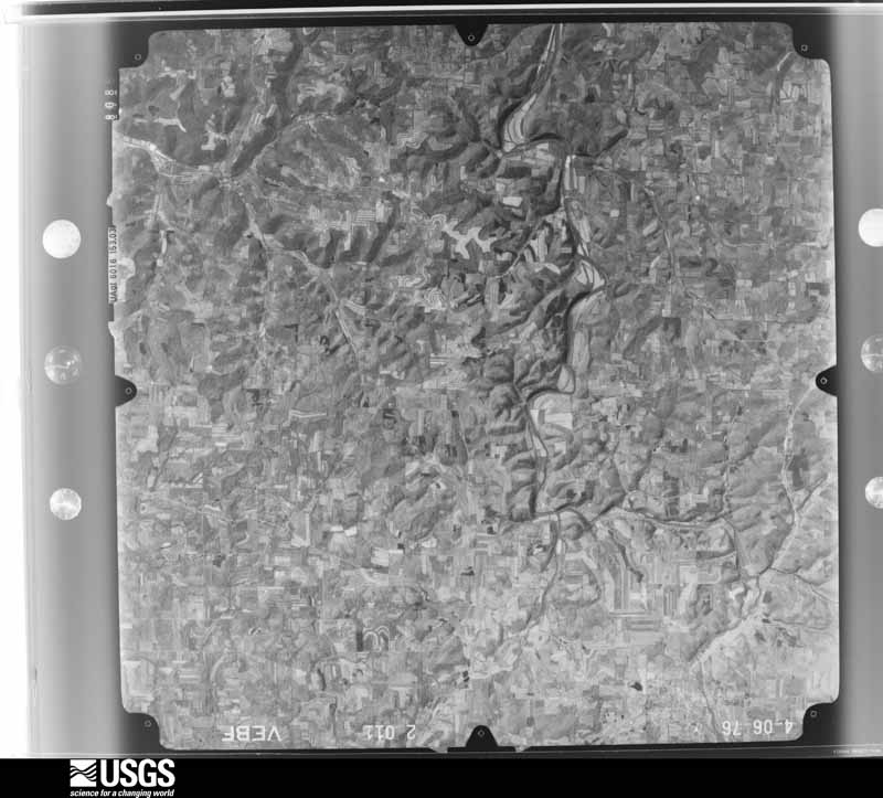
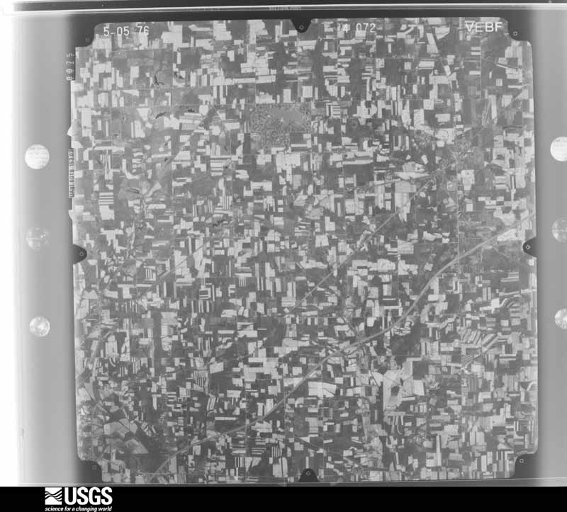
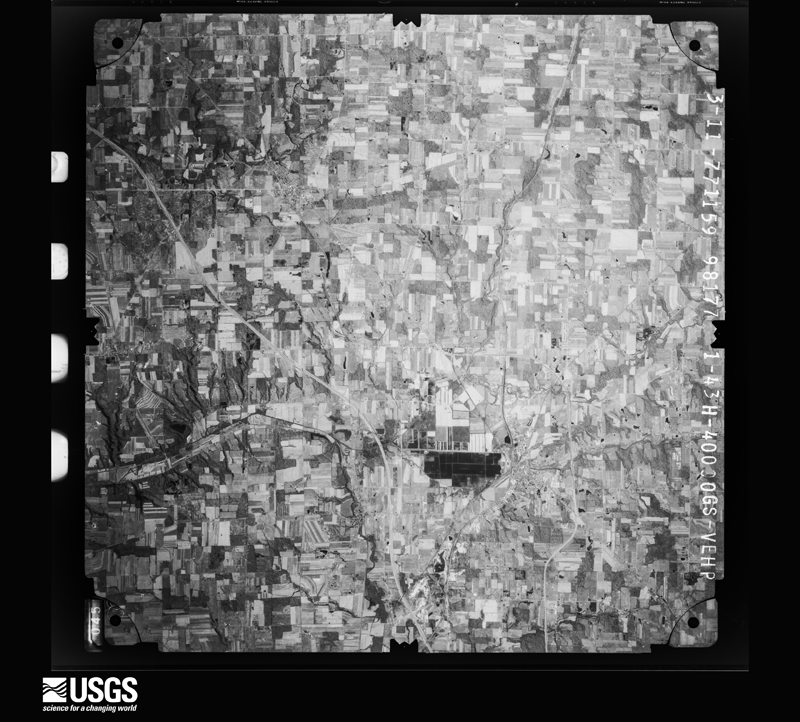
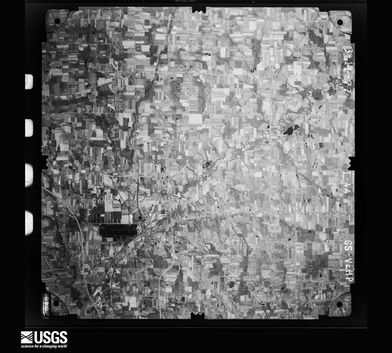
The county from the air

32 of 646 shown

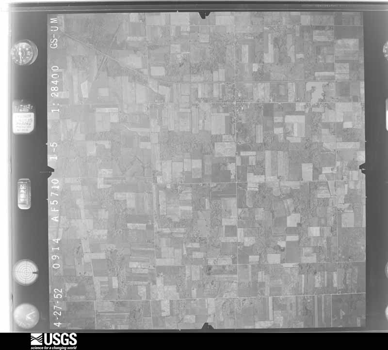
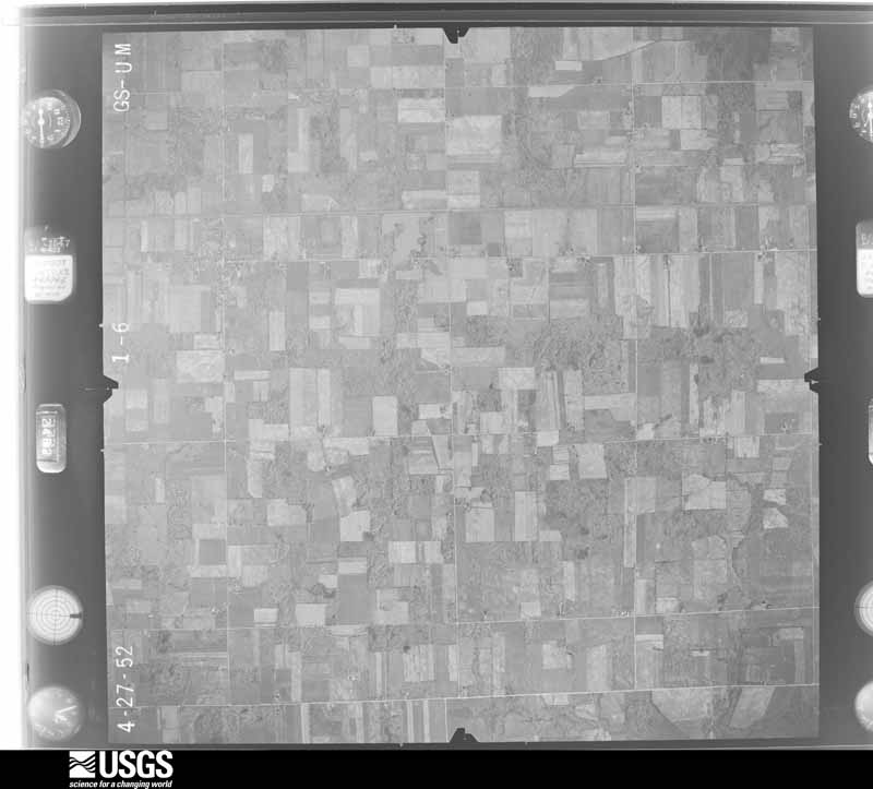
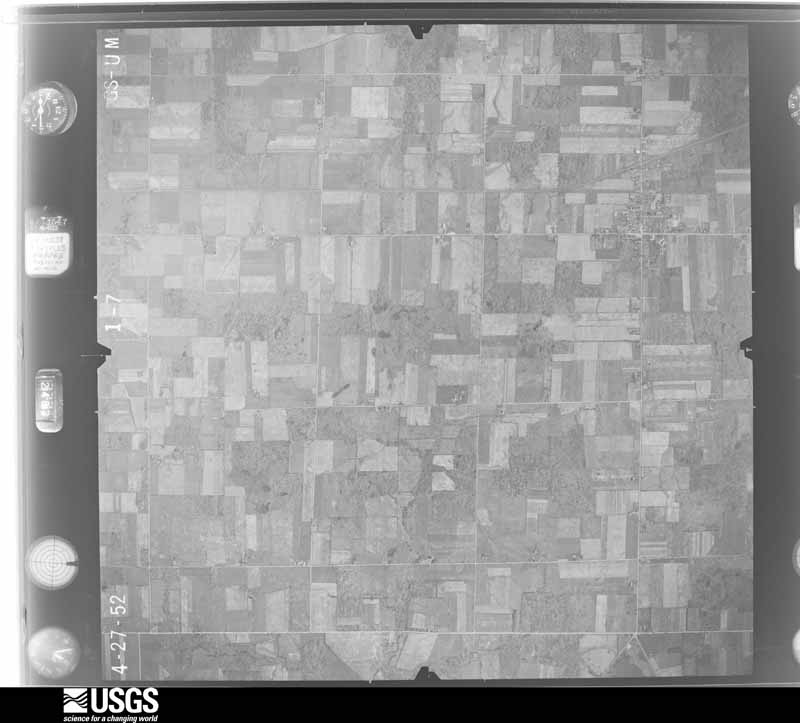
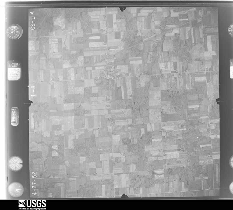
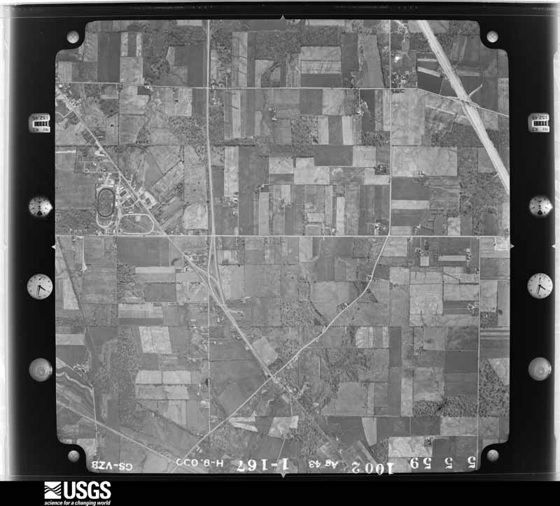
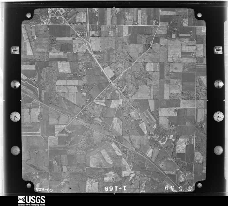
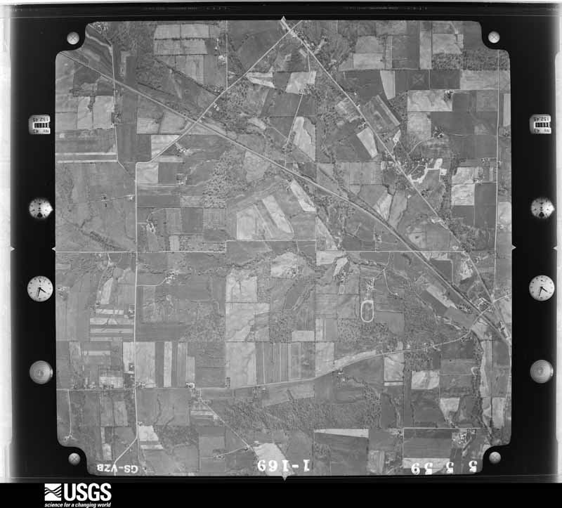
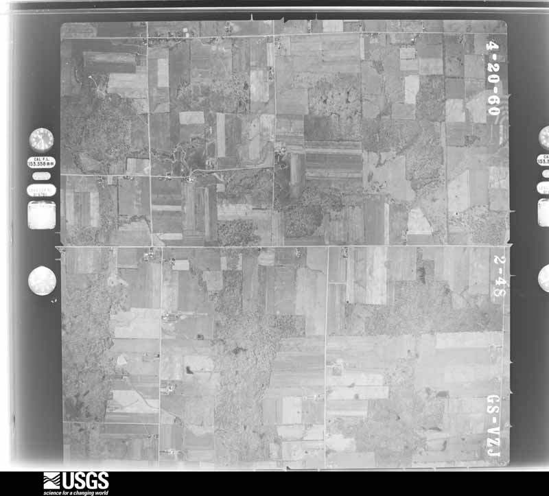
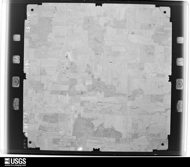
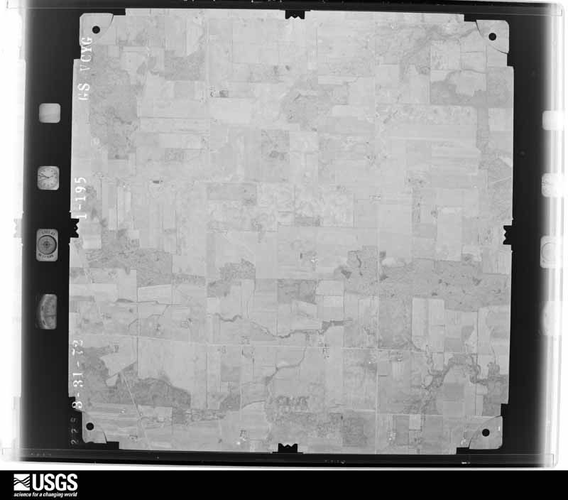
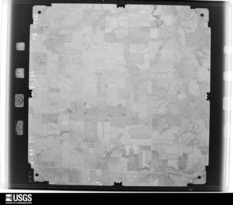
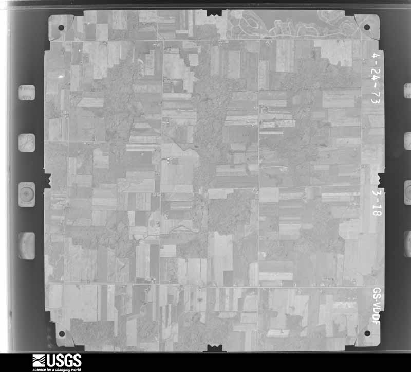
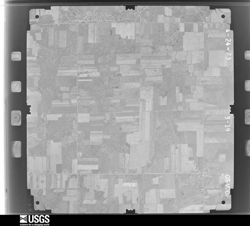
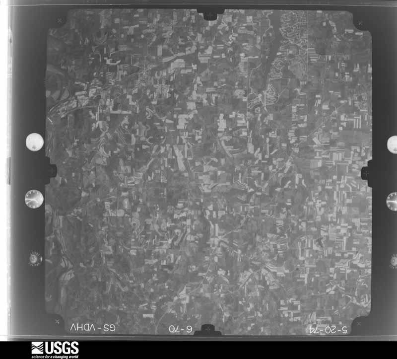
Flown by the U.S. Geological Survey between 1937 and 1989, the Aerial Photo Single Frames collection is the definitive mid-century view of the land: fields, roads and rivers as the camera saw them. 646 frames touch this county; the selection below spreads across the decades of flights (at most four per year), so one flight cannot crowd out the rest. The full set is free to browse and download at EarthExplorer under the dataset Aerial Photo Single Frames.

U.S. Geological Survey aerial photograph, 1952-04-01, scale 1:28400
1952-04-01, scale 1:28400. U.S. Geological Survey aerial photograph.
U.S. Geological Survey aerial photograph, 1952-04-01, scale 1:28400
1952-04-01, scale 1:28400. U.S. Geological Survey aerial photograph.
U.S. Geological Survey aerial photograph, 1952-04-01, scale 1:28400
1952-04-01, scale 1:28400. U.S. Geological Survey aerial photograph.
U.S. Geological Survey aerial photograph, 1952-04-01, scale 1:28400
1952-04-01, scale 1:28400. U.S. Geological Survey aerial photograph.
U.S. Geological Survey aerial photograph, 1959-05-08, scale 1:18000
1959-05-08, scale 1:18000. U.S. Geological Survey aerial photograph.
U.S. Geological Survey aerial photograph, 1959-05-08, scale 1:18000
1959-05-08, scale 1:18000. U.S. Geological Survey aerial photograph.
U.S. Geological Survey aerial photograph, 1959-05-08, scale 1:18000
1959-05-08, scale 1:18000. U.S. Geological Survey aerial photograph.
U.S. Geological Survey aerial photograph, 1959-05-08, scale 1:18000
1959-05-08, scale 1:18000. U.S. Geological Survey aerial photograph.
U.S. Geological Survey aerial photograph, 1960-04-01, scale 1:19000
1960-04-01, scale 1:19000. U.S. Geological Survey aerial photograph.
U.S. Geological Survey aerial photograph, 1960-04-01, scale 1:19000
1960-04-01, scale 1:19000. U.S. Geological Survey aerial photograph.
U.S. Geological Survey aerial photograph, 1960-04-01, scale 1:19000
1960-04-01, scale 1:19000. U.S. Geological Survey aerial photograph.
U.S. Geological Survey aerial photograph, 1960-04-01, scale 1:19000
1960-04-01, scale 1:19000. U.S. Geological Survey aerial photograph.
U.S. Geological Survey aerial photograph, 1972-05-05, scale 1:24000
1972-05-05, scale 1:24000. U.S. Geological Survey aerial photograph.
U.S. Geological Survey aerial photograph, 1972-05-05, scale 1:24000
1972-05-05, scale 1:24000. U.S. Geological Survey aerial photograph.
U.S. Geological Survey aerial photograph, 1972-05-05, scale 1:24000
1972-05-05, scale 1:24000. U.S. Geological Survey aerial photograph.
U.S. Geological Survey aerial photograph, 1972-05-05, scale 1:24000
1972-05-05, scale 1:24000. U.S. Geological Survey aerial photograph.
U.S. Geological Survey aerial photograph, 1973-04-01, scale 1:24000
1973-04-01, scale 1:24000. U.S. Geological Survey aerial photograph.
U.S. Geological Survey aerial photograph, 1973-04-01, scale 1:24000
1973-04-01, scale 1:24000. U.S. Geological Survey aerial photograph.
U.S. Geological Survey aerial photograph, 1973-04-01, scale 1:24000
1973-04-01, scale 1:24000. U.S. Geological Survey aerial photograph.
U.S. Geological Survey aerial photograph, 1973-04-01, scale 1:24000
1973-04-01, scale 1:24000. U.S. Geological Survey aerial photograph.
U.S. Geological Survey aerial photograph, 1974-05-01, scale 1:76000
1974-05-01, scale 1:76000. U.S. Geological Survey aerial photograph.
U.S. Geological Survey aerial photograph, 1974-05-01, scale 1:76000
1974-05-01, scale 1:76000. U.S. Geological Survey aerial photograph.
U.S. Geological Survey aerial photograph, 1974-05-01, scale 1:76000
1974-05-01, scale 1:76000. U.S. Geological Survey aerial photograph.
U.S. Geological Survey aerial photograph, 1974-05-01, scale 1:76000
1974-05-01, scale 1:76000. U.S. Geological Survey aerial photograph.
U.S. Geological Survey aerial photograph, 1976-04-01, scale 1:80000
1976-04-01, scale 1:80000. U.S. Geological Survey aerial photograph.
U.S. Geological Survey aerial photograph, 1976-04-01, scale 1:80000
1976-04-01, scale 1:80000. U.S. Geological Survey aerial photograph.
U.S. Geological Survey aerial photograph, 1976-04-01, scale 1:80000
1976-04-01, scale 1:80000. U.S. Geological Survey aerial photograph.
U.S. Geological Survey aerial photograph, 1976-04-01, scale 1:80000
1976-04-01, scale 1:80000. U.S. Geological Survey aerial photograph.
U.S. Geological Survey aerial photograph, 1977-03-11, scale 1:80000
1977-03-11, scale 1:80000. U.S. Geological Survey aerial photograph.
U.S. Geological Survey aerial photograph, 1977-03-11, scale 1:80000
1977-03-11, scale 1:80000. U.S. Geological Survey aerial photograph.
U.S. Geological Survey aerial photograph, 1977-03-11, scale 1:80000
1977-03-11, scale 1:80000. U.S. Geological Survey aerial photograph.
U.S. Geological Survey aerial photograph, 1977-03-11, scale 1:80000
1977-03-11, scale 1:80000. U.S. Geological Survey aerial photograph.

City directories

4 volumes

The "who lived here, by year" answer: pre-1929 public-domain directory volumes naming the county's people, machine-read and searchable as text.

Weather records

16 stations, 13 gages

The thermometers that kept this county's weather, and the gages that watched its rivers, as the federal records hold them. The extremes below are measured values from those records, not estimates.

The 1950 census, district by district

47 districts

Who lived here in 1950, one enumeration district at a time, as the Census Bureau described each district. Each row opens its official National Archives result, with Population Schedules and ED Maps available there.

  • 3-1Clear Creek township: Savannah village
  • 3-2Clear Creek township - That part outside Savannah village
  • 3-3Loudonville village, comprising parts of Green and Hanover townships: Loudonville village - That part in Green township Bounded by Burnell Ave., Village limits; Village limits; Township line; Market
  • 3-4Loudonville village - That part in Green township Bounded by Village limits; Village limits, Burnell Ave., Market; Township line; Village limits
  • 3-5Loudonville village - That part in Hanover township Bounded by Township line; Village limits; Village limits; Market, Bustle, Wood, Butler, Market
  • 3-6Loudonville village - That part in Hanover township Bounded by Township line; Market, Butler, Wood, Bustle, Market; Village limits; Village limits
  • 3-7Green township, outside Loudonville village: Perrysville village
  • 3-8Green township - That part outside Loudonville and Perrysville villages (Remainder of Green township is in Loudonville village)
  • 3-9Hanover township - That part outside Loudonville village (Remainder of Hanover township is in Loudonville village)
  • 3-10Jackson township: Polk village
  • 3-11Jackson township - That part outside Polk village
  • 3-12Lake township
  • 3-13Mifflin township: Mifflin village
  • 3-14Mifflin township - That part outside Mifflin village
  • 3-15Milton township
  • 3-16Mohican township: Jeromesville village
  • 3-17Mohican township - That part outside Jeromesville village
  • 3-18Montgomery township: Ashland city: Ashland city - That part of Ward 1 Bounded by W. Main, E. Main; Center; W. Walnut, Claremont Ave., W. Liberty; Broad, W. Walnut, Sharp, Quarry, Broad
  • 3-19Ashland city - That part of Ward 1 Bounded by W. Main; Broad, Quarry, Sharp, W. Walnut, Broad, W. Liberty, Claremont Ave., Lincoln Way, Mansfield Rd.; City limits; City limits
  • 3-20Ashland city - That part of Ward 1 Bounded by W. Walnut; Center; Samaritan Ave.; King Rd., Claremont Ave.
  • 3-21Ashland city - That part of Ward 1 Bounded by King Rd., Samaritan Ave.; Center, Hayesville Rd., Ward line; City limits; Mansfield Rd., Lincoln Way
  • 3-22Ashland city - That part of Ward 2 Bounded by City limits; Frey Rd., Troy, Orange; Erie Railroad
  • 3-23Ashland city - That part of Ward 2 Bounded by City limits, Erie Railroad; Wick Ave. extended, Wick Ave.; Sandusky City limits
  • 3-24Ashland city - That part of Ward 2 Bounded by Erie Railroad; Ohio; Wick Ave., Wick Ave. extended
  • 3-25Ashland city - That part of Ward 2 Bounded by Ohio; Erie Railroad, Ward line, Church; W. 4th, Cottage, Pleasant; Sandusky, Wick Ave.
  • 3-26Ashland city - That part of Ward 2 Bounded by Sandusky; Race; W. Main; City limits
  • 3-27Ashland city - That part of Ward 2 Bounded by Pleasant, Cottage, W. 4th, E. 4th; Ward line; E. Main, W. Main; Race, Sandusky
  • 3-28Ashland city - That part of Ward 3 Bounded by E. Main; E. Liberty; Arthur
  • 3-29Ashland city - That part of Ward 3 Bounded by E. Main; Arthur; E. Liberty; Center
  • 3-30Ashland city - That part of Ward 3 Bounded by E. Liberty; Edgehill Ave.; Forest Dale Rd., Eastern Ave., Oakwood Dr.; Center
  • 3-31Ashland city - That part of Ward 3 Bounded by E. Liberty, Wooster Rd.; City limits; City limits; Ward line, Hayesville Rd., Center, Oakwood Dr., Eastern Ave., Forest Dale Rd., Edgehill Ave.
  • 3-32Ashland city - That part of Ward 4 Bounded by City limits; City limits; Cleveland Ave., Virginia Ave., E. 4th; Union, Erie Railroad
  • 3-33Ashland city - That part of Ward 4 Bounded by City limits; Erie Railroad; E. 9th, Brich, E. 11th, Union, Orange; Troy, Troy Rd.
  • 3-34Ashland city - That part of Ward 4 Bounded by Orange, Union, E. 11th, Brich, E. 9th; Erie Railroad; Orange
  • 3-35Ashland city - That part of Ward 4 Bounded by Erie Railroad, Union, E. 4th; Miller; E. Main; Ward line, E. 4th, W. 4th, Church, Ward line
  • 3-36Ashland city - That part of Ward 4 Bounded by E. 4th, Virginia Ave., Cleveland Ave.; City limits; Wooster Rd., E. Main; Miller
  • 3-37Montgomery township - That part north of U.S. Hwys. 42 and 250, outside Ashland city
  • 3-38Montgomery township - That part south of U.S. Hwys. 42 and 250, outside Ashland city
  • 3-39Orange township: Orange township - That part east of County Hwy. 171 and State Hwy. 58
  • 3-40Orange township - That part west of County Hwy. 171 and State Hwy. 58
  • 3-41Perry township
  • 3-42Ruggles township
  • 3-43Sullivan township
  • 3-44Troy township
  • 3-45Vermilion township: Hayesville village
  • 3-46Vermilion township - That part north of U.S. Hwy. 30, outside Hayesville village
  • 3-47Vermilion township - That part south of U.S. Hwy. 30, outside Hayesville village

Businesses named in the atlases

25 businesses

Every Sanborn volume opens with a printed index naming the town's mills, tanneries, hotels and works by proprietor. Those indexes were read off the scanned sheets by machine and then matched to each other, so a business surveyed four times appears here once, with the years it survived. 3 of these 25 were named in more than one atlas. Each carries a crop of the line it was read from: the spelling is the recogniser's and the 1880s lithographer's, and the scan behind it is the proof.

Wildfire, 2005 to 2020

78 fires

Every wildfire the federal occurrence database records inside this county: 78 of them, burning about 322 acres. 1 started naturally and 1 were recorded as arson. Each settlement page carries the fires within five miles of it.

Reported cause Fires
Debris and open burning47
Missing data/not specified/undetermined8
Equipment and vehicle use8
Smoking6
Power generation/transmission/distribution3
Recreation and ceremony2
Other causes2
Natural1
Arson/incendiarism1

The five largest, by the area the report gives. None of them was recorded as arson.

DateCause SizeReported by Name on the report
20 March 2015Debris and open burning171 acresOhio Department of Natural Resources484
19 November 2020Debris and open burning20 acresOhio Department of Natural Resources16001
24 September 2019Missing data/not specified/undetermined20 acresOhio Department of Natural Resources15258
7 October 2020Debris and open burning20 acresOhio Department of Natural Resources15841
19 November 2020Debris and open burning10 acresOhio Department of Natural Resources16000
13 July 2020Equipment and vehicle use7.0 acresOhio Department of Natural Resources15780
26 July 2019Debris and open burning6.0 acresOhio Department of Natural Resources15219
18 July 2020Equipment and vehicle use6.0 acresOhio Department of Natural Resources15782

Every settlement page carries the fires within five miles of it - see the settlement index below.

Storms, 1959 to 2026

60 of 426 shown

The NOAA Storm Events Database holds 426 reports for this county, causing 1 death, 20 injuries and about $25,166,700 in recorded property damage. Each settlement page carries the reports that name it.

Kind of event Reports
Thunderstorm Wind229
Hail126
Flash Flood38
Tornado20
Flood9
Lightning3
Heavy Rain1

The most serious of them, by death, then injury, then recorded damage. The accounts are quoted exactly as the forecast office filed them.

WhenEvent Place namedHarm What the report says
July 1995Thunderstorm WindCountywide1 killed, $150,000no account filed
April 1977Tornado (F1)not stated6 hurt, $2,500,000no account filed
May 1973Tornado (F2)not stated6 hurt, $250,000no account filed
August 2000Tornado (F1)Ashland4 hurt, $2,000,000A tornado touched down on the west side of Ashland near Lindale Avenue then moved east along West Main Street causing significant damage and four minor injuries. The damage path was 50 to 100 yards wide, intermittent and nearly three miles in length. The most severe damage occurred a few blocks west of downtown. Major structural damage occurred to several homes in the area including one that had an entire side blown apart. Damage to the downtown business district was much less severe with most of the damage being in the form of broken windows and torn off siding. However, three buildings lost large sections of roof and a fourth had a brick wall collapse. The roof of one of the buildings was found six blocks east of downtown. East of the business district, the damage path was intermittent with only a dozen or so homes sustaining minor damage. In total, 112 homes and 20 businesses were damaged. Of those totals, 23 homes and four businesses suffered major damage. Several cars were destroyed and hundreds of trees were toppled. Six power poles were also snapped near ground level.
August 2023Flash FloodRuggles2 hurt, $400,000Widespread flash flooding with localized significant impacts across much of northwest and central Ashland County. More than one dozen reported road closures due to flooding of creeks, streams and rivers, with several inches to several feet of flowing water across roadways. Some major roadways closed by flooding include several portions of US-250, US-42, OH-56, OH-302, in addition to several township and county roadways. Four water rescues were reported across this area due to vehicles driving into flooded roadways. Township Road 1275 near the intersection of OH-89 in Perry Township was washed out due to flooding. A vehicle drove into the washed out culvert and two occupants needed to be rescued, and were transported to a local hospital with minor injuries. Radar estimated 2.75 to 3.5 inches of rainfall in a 3 hour period, with a bulk of the rain falling in a 90 minute or less period.
July 1999Thunderstorm WindCountywide1 hurt, $70,000Trees downed across the entire county with the most concentrated damage in the northwest corner near Ruggles and Nova. A male of unknown age was injured by flying debris while camping at a campground in Nova. Fallen trees resulted in a major railroad track being closed for three hours. Power poles were snapped at Hayesville and Widowville. At Jeromesville, many trees were downed including two that fell on houses. A fence at a Jeromesville ball field was ripped out of the ground.
July 2005Thunderstorm WindPolk1 hurt, $30,000Severe thunderstorm winds downed a few trees, numerous large tree limbs and some power lines across the area. One person was injured by falling debris.
July 2006Flash FloodSouth Portion$5,200,000Heavy thunderstorm rains fell on the southern portion of Ashland County during the afternoon and early evening hours of July 10th. Rainfall rates approached 3 inches per hour at times and a spotter near the intersection of State Route 3 and College Hill Road, just south of the Ashland County line, measured a storm total of 7.5 inches. Cooperative observers at the Mohicanville Dam measured 2.8 inches of rain between 3 and 4 p.m. and a storm total of 3.41 inches. Other reports from the county included: 3.26 inches in Loudonville, 2.89 inches at Pleasant Hill Dam and 2.10 inches in the City of Ashland. Runoff from the heavy rains caused the Mohican River to rise very quickly. A four foot wall of water reportedly moved down the river forcing several people in canoes to climb into trees. Firefighters later rescued eight people from the river or trees. The river continued to rise more than a foot per hour through the evening hours. Up to 700 campers had to be evacuated from Mohican State Park, many by boat. Several campgrounds on Wally Road south of Loudonville also had to be evacuated because of flooding. These evacuations continued through 10 p.m. and were hampered by several mudslides along Wally Road. A woman had to be rescued from her home on Pleasant Hill Road. Dozens of campers and mobile homes were damaged in the State Park and campgrounds. Extensive flooding also occurred along Pine Run south and west of Loudonville. Four barns along the run were washed away and a bridge on State Route 3 was heavily damaged. An historic mill along Pine Run sustained over $100,000 in damage. County Roads 3275, 1027 and 3175 (Wally Road) were washed out in several locations. At least seven Hanover Township roads were also washed out. Total damage to roads and bridges in the county approached $1 million. Flooding was reported as far north as the City of Ashland where several streets were flooded. Over two dozen roads in the county had to be closed because of flooding including State Route 60 south of Hayesville, and State Routes 3, 39 and 97 near Loudonville. Hundreds of homes and mobile homes sustained damage, mainly from basement flooding. Crop losses in the county are also expected to be substantial as standing water delayed the wheat crop harvest.
August 2007Flash FloodSavannah$3,000,000Heavy rain producing thunderstorms affected Ashland County during the late evening hours of August 20th and early morning hours of August 21st. Rainfall totals from across the county included: 3.32 inches at Ashland; 3.46 inches at Jeromesville; 5.18 inches at Mifflin and 4.02 inches at Loudonville. Runoff from this rain combined with ground already saturated from earlier rains led to significant flooding across portions of Ashland County. Widespread lowland flooding occurred across the county and many roads had to be closed because of flooding. Some of the worst flooding occurred near Loudonville after the Black Fork of the Mohican River quickly rose and left it's banks. Many homes and businesses along and near the river sustained flood damage. Hundreds of other homes in the county suffered damage, mainly from basement flooding. Finally, standing water and erosion from the runoff caused damage to agricultural interests in the county. |
November 2002Tornado (F2)Polk$1,600,000A tornado touched down two miles southwest of Polk near the intersection of County Road 601 and Township Road 902. A new home at this location was destroyed. The tornado then traveled northeast across the western and northern portions of Polk. Two homes on the west side of Polk were heavily damaged and a small barn was leveled just north of town. Another 10 to 12 buildings, including two public buildings sustained minor damage in Polk. From Polk, the tornado traveled northeast across rural areas and passed just to the west of Albion. Two homes along County Road 620 just west of Township Road 521 lost entire roofs and had exterior walls partially or entirely knocked down. A nearby barn was leveled with debris thrown as much as one half mile. A small boat tethered in a pond near the barn was found a quarter mile away and the pond itself was filled with debris. A church in the area had it's steeple toppled. The tornado continued northeast and damaged several more homes and buildings. The tornado moved into Medina County just east of County Road 175. In the county, a total of five homes were either completely destroyed or declared unlivable with another 11 homes sustaining enough damage to require significant repairs. Approximately 30 additional homes and buildings suffered minor damage. A few dozen cars sustained varying amounts of damage. The tornado was on the ground in Ashland County for approximately five and a half miles with the damage path no more than 50 yards in width.
August 2007Tornado (EF1)Sullivan$1,400,000A storm survey was conducted and an EF1 tornado was confirmed in northeastern Ashland County. The tornado touched down northeast of Sullivan along Black River School Road just to the west of the Medina County line. Two school buildings were damaged by the tornado. One of the schools lost a section of roofing over a gymnasium. Sections of roofing along the remainder of the building were lifted and buckled by tornado winds. Significant amounts of rain water got into the building as a result of this roof damage. Water damage in the school was extensive and the gymnasium floor will need replacement. A modular building used as a classroom also sustained damage. Fences surrounding recreational fields at the school were also damaged. A house across the road from the schools was slightly damaged and a communication tower nearby was toppled. Many trees were downed. The tornado had a damage path around one half mile in length and about 30 yards in width.
June 2012Thunderstorm WindPerrysville$750,000An intense line of thunderstorms or Derecho moved across southern Ashland County during the afternoon of June 29th causing extensive damage. Winds were estimated to be as much as 65 mph. Over 50 percent of residents in the southern third of the county lost power during this event. Power was not completely restored for several days. Hundreds of trees were downed across the county along with many utility poles forcing the closure of some of roads and streets. Damage to homes and buildings was also extensive. Dozens of homes and buildings lost roofing or siding with many other homes damaged by fallen trees. Clean up costs were extensive. The clean up was hampered by an ongoing heat wave with afternoon temperatures in the upper 90s. Significant crop losses are also expected. Damage from this storm in southern Ashland County was comparable to the remnants of Hurricane Ike in September 2008.
February 2011FloodNova$500,000Heavy rain and rapid snow melt led to widespread flooding across Ashland County. Rainfall totals across the county ranged from one to three inches on February 27th and 28th. Up to ten inches of heavy snow was on the ground at the onset of the rain. This snow rapidly melted as temperatures warmed into the 50s on the 28th. Up to an additional inch of water equivalent rainfall was released from the melted snow. Hundreds of homes in the county sustained damage, mainly from basement flooding. Many roads had to be closed because of the the flooding.
June 2006Thunderstorm WindCountywide$450,000During the late afternoon hours of June 22nd, severe thunderstorms moved across Ashland County and caused extensive damage. The worst damage resulted from straight line winds caused by a downburst that started east of Charles Mills Lake and continued through the Mifflin area to near Hayesville. Winds were estimated to be greater than 80 mph. Up to a thousand trees were downed along this path. Near Mifflin, a 120 foot tall radio tower was knocked down. Several homes in Mifflin lost sections of roof and three garages were also destroyed. One of the homes was damaged enough to be declared uninhabitable. In Hayesville, over half the the trees in the town were blown down and many homes were damaged. Numerous roads had to be closed because of downed trees, limbs and power lines. Across the remainder of the county, trees and power lines were reported down from as far north as Polk to Loudonville in the southeast corner of the county. At least two homes were damaged by fallen trees in Loudonville. Thousands of people lost power during this event.
August 2000Thunderstorm WindSavannah$450,000A thunderstorm downburst with winds estimated at 80 to 100 mph moved across Ashland County. Over 40 trees were blown down in Savannah along with several power poles. A tree fell on a moving car in Savannah but the driven was not hurt. Many trees were knocked down in Sullivan with one home losing part of a roof. A large dairy barn housing 140 cows was completely destroyed one mile east of Hayesville. A nearby house was knocked off its foundation and a house in Hayesville lost most of its roof. Many trees and power poles were downed in and around Hayesville and a car was destroyed by a fallen tree.
August 2007Thunderstorm WindAshland$300,000A portion of a roof on a grocery store was blown off. The grocery store was located on the north side of Ashland. Trees were also reported down in the area. A survey team followed up on the report and found a significant portion of the grocery store's roof was blown off. Also noted was a barn southwest of the store that had a portion of its roof blown off. Numerous trees were down mainly between State Routes 511 and 58. Two semi trailers and a construction trailer were blown onto their sides near State Route 511 and U.S. 250.
June 2006Flash FloodNorth Portion$250,000Thunderstorms dumped torrential rain on the northern part of Ashland County during the late evening hours of June 21st and early morning hours of June 22nd. As much as 4 to 6 inches of rain fell in the Sullivan area with 3 to 4 inches reported at Polk, Nankin, Nova and Savannah. Several roads had to be closed because of flooding. U.S. Route 224 had to be closed near Sullivan after a drainage ditch flooded. A home nearby was destroyed around 3:30 a.m. after flood waters two to three feet deep accumulated around the house and caused a basement wall to fail. One person in the home had to rescued by emergency personnel. A few gravel roads in the northern tier of townships in the county were partially washed out. Several homes sustained damage from basement flooding. Most of these were in and around Sullivan. Crop losses in the county are expected to be significant as standing water was observed in many fields.
July 2003Flash FloodAshland$250,000Thunderstorms dumped two to threes of rain on the central portion of Ashland County in about 90 minutes. Lowland and urban flooding occurred over the northern half of the city of Ashland. A mobile home park was under as much as two feet of water during the peak of the storm. Many streets had to be closed in Ashland because of flooding. Dozens of homes experienced basement flooding. Several cars were also damaged by flood waters. State Route 302 was closed for several hours to the west of Nankin.
March 1985Tornado (F0)not stated$250,000no account filed
June 1981Tornado (F1)not stated$250,000no account filed
June 1977Tornado (F0)not stated$250,000no account filed
August 1998Flash FloodCountywide$200,000Heavy thunderstorm rain caused flooding of numerous streets, streams, basements and low lying areas. The water was as deep as the tops of cars on some roads; a few people had to be rescued from their vehicles. Culverts collapsed on several roads.
November 2017Tornado (EF1)Widowville$150,000An EF0 tornado touched down in rural Ashland County near the intersection of U.S. Route 30 and State Route 511. Some hardwood trees at that location were either toppled or damage. The tornado then intensified to EF1 strength as it continued east northeast across open farmland. A farm wagon was tossed and destroyed by the tornado and a cow was thrown and sustained a broken leg. The tornado heavily damaged a home along State Route 60 about a third of a mile north of U.S. 30. The house lost about half of its roof and had a brick chimney toppled. Some windows were blown out and the house lost siding on all four sides. An adjacent car port was leveled and a large overhead door in a nearby garage was blown in. The 90 year old occupant of the house was not injured. After striking the house, the tornado weakened and eventually lifted just east of State Route 60. The damage path from this tornado was just over two miles in length.
July 2006Tornado (F1)Perrysville$150,000A F1 tornado moved out of Richland County and into Ashland County south of Perrysville. The tornado moved into Mohican State Forest and dissipated. The damage path was approximately four miles in length and no more than fifty yards in width. The damage path was intermittent. Little structural damage was observed along the damage path, but hundreds of tree were down.
July 2006Flash FloodSouth Portion$150,000An area of heavy rainfall developed over the central portion of Ashland County during the late afternoon and evening hours of July 12th. As a result, flash flooding caused State Route 60 to be closed through the evening. Several other roads across the central and southern portion of the county were also reported to be closed. Mifflin and Hayesville were particularly hard hit. County Road 2075 just southeast of Mifflin had a bridge washed.
May 2004Thunderstorm WindCountywide$125,000A line of severe thunderstorms moved across Ashland County and downed dozens of trees. Scattered power outages were also reported. Some of the worst damage in the county occurred near Loudonville where several homes were damaged and at least two highways blocked by fallen trees. A few vehicles were damaged by fallen trees and flying debris.
July 2003Thunderstorm WindCountywide$125,000A line of severe thunderstorms moved across Ashland County and downed dozens of trees. Over 40 trees and large limbs were downed in Ashland alone. Many trees were also toppled in the southern portion of the county near Mohican State Park. A shower house at the park was heavily damaged as were three cars parked nearby.
July 1999Thunderstorm WindCountywide$125,000A TV tower was toppled near Nova and an equipment building was blown down and destroyed five miles northeast of Loudonville on County Road 2575. A small barn near the equipment building was also heavily damaged.
June 2019Flash FloodPolk$120,000Redhaw Creek in Polk washed out portion of Route 800 and flooded County Road 175. Wolf Run Creek flooded Route 700 in Polk. 3.74 rainfall measured in Sullivan as of the morning of the 17th.
July 2021Flash FloodParadise Hill$100,000Numerous road closures across the northern part of the county due to flooding, including the city of Ashland. Water was overtopping a pond and flowing across OH-250 into another pond near Bailey Lakes. 3' to 3.5' of water flowing over multiple roadways in Sullivan Township, where multiple roads were impassable with several residents unable to leave their homes. Culvert was washed out on Township Highway 673 between CR-620 and OH-58 due to flooding of Orange Creek.
September 2007Thunderstorm WindAshland$100,000Straight line winds created a damage path about one hundred yards wide and about four miles long. Along this path, numerous trees and large limbs were reported down. Several buildings had roof damage, and a box trailer was blown over by the severe winds.
July 2003Flash FloodCountywide$100,000Thunderstorms dumped two to three inches of rain on Ashland County in a short period of time. 1.75 inches of rain was measured at Polk in 75 minutes during the peak of the storm. Widespread lowland and street flooding occurred with many streams and creeks leaving their banks. Several vehicles became stranded in flooded underpasses in Ashland. Well over a dozen roads had to be closed in the county due to flood waters up to three feet deep.
August 2003Flash FloodNorth Portion$100,000Thunderstorms dumped heavy rains on portions of Ashland County. Lowland flooding occurred across the northern half of the county. Several roads were closed near Polk and Nankin. A car was washed off Rowsburg Road (County Road 1302) to the east of Interstate 71. Flood waters were reported to be up to three feet deep.
July 1999Thunderstorm WindCountywide$100,000Thunderstorms producing strong downburst winds downed dozens of trees and limbs throughout the county. A 60 by 120 foot pole barn was blown down and totally destroyed east of Hayesville on County Road 30A. The poles supporting the front side of the building were pulled completely out of the ground while the poles in the back were snapped off at ground level. A home under construction on Township Road 251 south of Rowsburg also suffered damage.
June 1997Flash FloodCountywide$80,000no account filed
June 2019FloodPolk$75,000Polk Law enforcement reported high water and impassable roads on route 89 and route 800 near Polk. Redhaw Creek flooding washed out a portion of Route 800. Route 700 near Wolf Run Creek was impassable due to high, swift water over the road. County Road 175 south of the town of Redhaw was impassable due to swift water over the road.
July 2013Tornado (EF0)Rowsburg$75,000A weak EF0 tornado touched down west of Rowsburg near the intersection of County Roads 1302 and 251. The tornado continued east southeast for about a mile before dissipating on the north end of Rowsburg. The damage path indicates that the tornado was probably intermittent and at tree top level. A barn was toppled near the beginning of the damage path and a house in Rowsburg was also heavily damaged by fallen trees. The barn appears to have been toppled from a combination of tornadic and straight line winds. Five livestock animals were killed in the barn collapse with several more injured. Many trees were downed along the damage path and large swaths of corn were flattened. The damage path from the tornado was no more than 15 yards wide but damage from the accompanying straight line downburst winds was more than a half mile in width at times. The damage path was a little over a mile in length.
July 2005Thunderstorm WindJeromesville$75,000Thunderstorm winds estimated at nearly 60 mph severely damaged a pole barn. Debris from the barn was spread out over an 80 yard area and also forced the closure of a road nearby.
June 2004Flash FloodNorth Portion$75,000Thunderstorms dumped one to three inches of rain on northern Ashland County during the evening of June 13th. Flooding was reported in many low lying areas. One person had to rescued near Nova after they drove their car into a flooded section of road. Many homes sustained damage from flooding.
July 2002Thunderstorm WindCountywide$75,000Thunderstorm winds downed trees across the county. A small plane tied down at the Ashland County Airport was blown 65 feet, turned over and destroyed by wind gusts estimated at 65 mph.
August 1998Thunderstorm WindLoudonville$75,000Severe thunderstorm winds downed trees, destroyed one garage and blew the roof off a barn. Another barn was blown down, killing some of the livestock inside. Crops were damaged.
June 1998Thunderstorm WindCountywide$75,000Many trees and power lines were downed, with some trees downed on houses. Winds were estimated as gusting to 80 miles per hour. At Pleasant Valley Campground in Loudonville, trees were downed and campers were evacuated.
June 2023Tornado (EF0)Nankin$70,000This tornado was an EF0 with estimated peak winds of 85 mph. The tornado began northeast of Nankin, between County Road 801 and OH-58, where several trees were uprooted with snapped branches. As the tornado moved southeastward toward Township Road 713, one residence sustained damage to its roof and chicken coop, while the barn sustained partial roof removal. A separate residence near Township Road 713 and OH-302 suffered damage in the form of a garage door and walls pushed out, and insulation lofted into a nearby field before the tornado dissipated.
June 2020Thunderstorm WindPerrysville$70,000Trained spotters and social media reports relayed numerous trees and large branches down with several cabins and cottages damaged at a campground northeast of Pleasant Hill Lake. Several wires and electrical lines were also downed. Another tree fell onto a house in Perrysville.
June 2013Flash FloodPolk$65,000State route 89 was flooded in half a dozen spots and was closed. Several roads in Ashland were closed. Some local roads were washed out with the pavement removed.
June 2019Flash FloodHayesville$50,000County Road 1775 closed due to flowing water from Newell Run Creek near Montgomery Township. Minor road damage with pavement lifted.
November 2017Tornado (EF0)Nova$50,000An EF0 tornado touched down about a half mile west of Nova. The tornado knocked over or uprooted many trees along it's path. The tornado damaged the roof of a store on the west end of Nova. A farm supply store along the railroad tracks on the north end of the town lost a section of roofing. A nearby grain bin was also damaged. The tornado lifted just after crossing State Route 511. The damage path for this storm was just over a half mile in length.
November 2013Thunderstorm WindAshland$50,000Thunderstorm winds downed trees and limbs throughout Ashland County.
June 2013Thunderstorm WindAshland$50,000Thunderstorm winds downed trees throughout Ashland County.
July 2013Thunderstorm WindRedhaw$50,000Thunderstorm winds downed several trees and flattened a barn. Corn in nearby fields was also flattened.
June 2011HailLoudonville$50,000A supercell thunderstorm produced golf ball size hail. Numerous vehicles and homes sustained damage as a result of the large hail.
June 2008Thunderstorm WindNova$50,000Many trees were reported down. Several homes were damaged after trees fell onto them.
July 2003Thunderstorm WindCountywide$50,000Thunderstorm winds downed several trees across northern Ashland County.
April 2000LightningLoudonville$50,000Lightning struck a public school knocking out all of the transformers in the building.
October 1999Thunderstorm WindAshland$50,000Over a dozen large trees were downed, many of them on the campus of Ashland University. A tree fell on a house and adjacent garage. Branches from the tree punctured the roof of the house allowing heavy thunderstorm rains to seep inside. A second garage nearby also sustained major roof damage and a third house lost part of a back porch to the high winds.
November 1998Flash FloodCountywide$50,000Heavy thunderstorm rain caused flooding of basements.
June 1994Thunderstorm WindCountywide$50,000Trees were downed, some on power lines, in numerous locations.
August 1994Thunderstorm WindSullivan$50,000Trees were downed, some on power lines, with at least one damaging a house.
January 1999Flash FloodCountywide$50,000no account filed
September 2018Thunderstorm WindNankin$45,000Thunderstorm wind gusts estimated to be at least 70 mph downed several trees north of Ashland between State Route 511 and County Road 1175. A home in that area lost a section of roofing and corn in nearby fields was blown over.

Mines and quarries

8 recorded

The Survey's mineral resources record lists 8 workings inside this county. 3 still produce and 5 are closed or unrecorded. Each settlement page carries the workings within five miles of it.

Commodity Workings
Sand and Gravel, Construction7
Clay1

The least common of them first, because a county's hundredth gravel pit says nothing its first ten did not.

Where SiteCommodity StatusRecorded
BiglowClayProducer
Acme Paving and Sealing Co. PitSand and Gravel, ConstructionProducer
Bolin and Son Sand and Gravel PitSand and Gravel, ConstructionPast ProducerSedimentary
Bolin and Son Sand and Gravel PitSand and Gravel, ConstructionPast Producer
Gindlesperger PitSand and Gravel, ConstructionPast ProducerSedimentary
Gindlesperger PitSand and Gravel, ConstructionPast Producer
Washed Sand & Gravel Operation PitSand and Gravel, ConstructionPast ProducerSedimentary
Youngs S & G PitSand and Gravel, ConstructionProducer

Collected here, 1846 to 1975

8 of 962 shown

Museum specimens collected inside this county and catalogued with a date and a place: 962 of them, by kingdom 876 animalia, 73 plantae, 13 fungi. Each is a physical object in a named collection, not a sighting. Held by Ohio State University - Fish Division, Columbus, OH (OSUM), UMMZ, Ohio State University - Amphibian Division, Columbus, OH (OSUM), USNM, Cleveland Museum of Natural History, OH (CLEV), FMNH among others, and each settlement page carries the specimens collected near it.

The oldest of them. A specimen proves something was collected on that day; its absence proves nothing.

Photograph YearSpecies KingdomWhere CollectorCatalogue
1846Mediorhynchus grandis Van Cleave, 1916AnimaliaAshlandP. HarwoodUSNM USNM 1393293
A photograph of the species Actitis macularius, not of this specimen1879Actitis macularius (Linnaeus, 1766)Animalianot statedPorter collection, J.B.CMN CMNAV 60391
A photograph of the species Porzana carolina, not of this specimen1879Porzana carolina (Linnaeus, 1758)Animalianot statedPorter, J.B.CMN CMNAV 59822
A photograph of the species Gallinago gallinago, not of this specimen1881Gallinago gallinago (Linnaeus, 1758)Animalianot statedPorter, J.B.CMN CMNAV 60344
A photograph of the species Rallus limicola, not of this specimen1881Rallus limicola Vieillot, 1819Animalianot statedA.M.H.CMN CMNAV 59817
A photograph of the species Nycticorax nycticorax, not of this specimen1882Nycticorax nycticorax (Linnaeus, 1758)Animalianot statednot recordedCMN CMNAV 59371
A photograph of the species Agastache scrophulariifolia, not of this specimen1896Agastache scrophulariifolia (Willd.) KuntzePlantaeLakevillenot recordedCM CM142779
A photograph of the species Coreopsis tripteris, not of this specimen1896Coreopsis tripteris L.PlantaeLakevilleWilkinson, E.CM CM210751

The townships, in 1863

1,140,501 words

A History of the Pioneer and Modern Times of Ashland County : from the Earliest to the Present Date devotes a chapter to each township: its boundaries and streams, who settled it and when, the mills, the schools and the churches. All 5 are reproduced here in full. Each row shows the township's own shape and where it lies in the county, drawn from the Census Bureau's boundary. Which settlements belong to which township is computed from that same boundary, not taken from the book.

Shape and position in the county TownshipSettlements in it LengthSections
Ashland CityAshland900,629 words934
Hanover TownshipLoudonville33,901 words125
Mohican TownshipJeromesville, Lake Fork, Mohicanville, Spreng113,460 words386
Ruggles TownshipHerefork, Ruggles10,681 words36
Vermillion TownshipHayesville, Widowville81,830 words281

The people it describes

928 named

Everyone A History of the Pioneer and Modern Times of Ashland County : from the Earliest to the Present Date stops to write about, with the section that describes them. Among them are the men who founded the place and governed the Territory. Each name opens the passage itself, in the words of 1863.

Every populated place in the county

32

Named settlements recorded in the Geographic Names Information System, each with the topographic sheets covering it. Villages, hamlets and abandoned places alike. Each is shown with the watercourse or landform it stands on and the survey quadrangle it falls on. The 5 places that were also surveyed for fire insurance come first, with the number of atlases and photographs held for them.

Recorded here

Ashland, Ohio

15 topographic sheets and 9 fire insurance atlases, 1884 to 1945

Loudonville, Ohio

13 topographic sheets and 9 fire insurance atlases, 1884 to 1950

Perrysville, Ohio

13 topographic sheets and 4 fire insurance atlases, 1900 to 1926

Hayesville, Ohio

15 topographic sheets and 2 fire insurance atlases, 1929 to 1929

Jeromesville, Ohio

11 topographic sheets and 2 fire insurance atlases, 1929 to 1929

Everything this county holds

The complete index, with nothing left out. Each of these is a separate record with its own page: a federal survey report, or the case file that argued a property on to the National Register. Both are public domain and reproduced word for word.

Surveyed structures

1 structure

Nomination case files

10 case files

Provenance

  • Topographic sheets. USGS Historical Topographic Map Collection, county index, measured from the bulk metadata.
  • Fire insurance maps. Library of Congress Sanborn collection, faceted to this county.
  • Photographs. Each place queried individually against the Library of Congress Prints and Photographs search.
  • Wildfire. Short, Karen C. 2022. Spatial wildfire occurrence data for the United States, 1992-2020 [FPA_FOD_20221014]. 6th Edition. Fort Collins, CO: Forest Service Research Data Archive. https://doi.org/10.2737/RDS-2013-0009.6 Collected with United States Government funding and usable without additional permissions or fees.
  • Specimens. Global Biodiversity Information Facility (GBIF), https://www.gbif.org/. Only records licensed CC0 or CC BY are used. Records licensed CC BY-NC are excluded because this site carries advertising. Images are checked individually and any whose licence is non-commercial, no-derivatives or unreadable is refused.
  • Mines and quarries. USGS Mineral Resources Data System (MRDS) https://mrdata.usgs.gov/mrds/ A work of the United States government, no copyright under 17 U.S.C. 105.
  • Storms. NOAA National Centers for Environmental Information, Storm Events Database https://www.ncei.noaa.gov/stormevents/ A work of the United States government, no copyright under 17 U.S.C. 105. Narratives are quoted verbatim from the National Weather Service report and are not edited or summarised.