 Block
Block
Springfield, Ohio
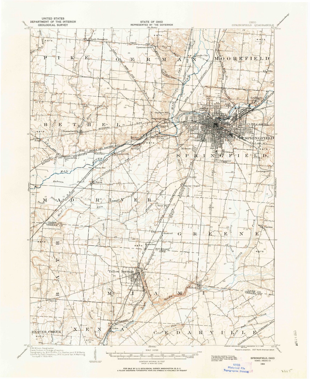
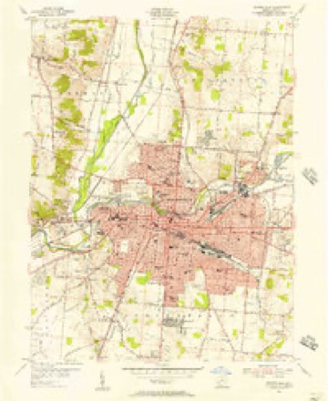
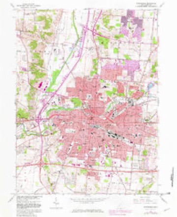
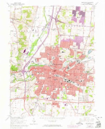
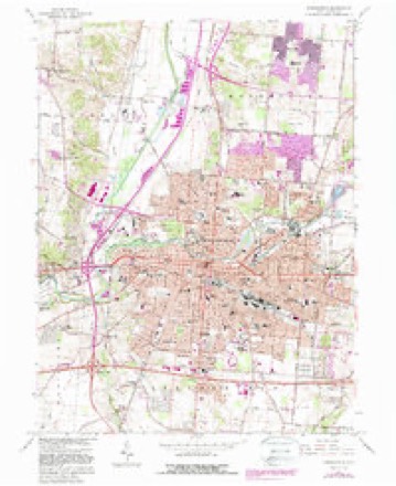
15 topographic sheets cover this place, the earliest surveyed in 1904 and the latest in 1986. It stands in Springfield City. It lies in ZIP code area 45502. The Survey maps it on the Springfield quadrangle. 58,662 people lived here at the 2020 count. It stands 978 feet above sea level.
Research this city
This curated hub for Clark County, Ohio brings together the page's documented record links, visible map or image evidence where published, and routes to related local records.
What is documented here?
Use the page's provenance and linked records to distinguish the source material from the site's navigation and summaries.
How should I cite it?
Open the original record, preserve its repository and identifier, then use the citation tool for this page as a path back to the source.
Where should I go next?
Follow the county or state hub for related places and records, then use the guide for a source-aware research sequence.
Population over time
2 figuresSpringfield fell from 60,608 to 58,662 between 2010 and 2020. These are the recorded population figures Wikidata holds for this place, reached through the Geographic Names Information System number this page is keyed on rather than by name, so they belong to this place and not to another of the same name. Most are census counts, but not all are: an early figure may be a founding or settlement estimate. The change column is computed, and is left blank where more than 20 years separate a figure from the one before it, because a gap that long is not a change between two counts.
| Year | People | Change |
|---|---|---|
| 2010 | 60,608 | |
| 2020 | 58,662 | -1,946 (-3%) |
Then and now
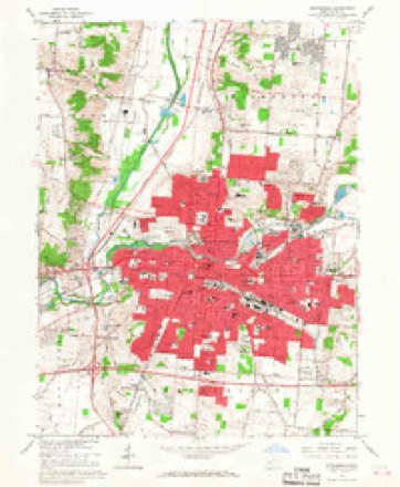
1904 to 1986The same ground, surveyed 82 years apart. Drag the handle to wipe between them. Both sheets are United States Geological Survey originals; neither has been altered.

Topographic sheets covering this place
15 sheetsMatched by testing this settlement's coordinate against the published boundary of every sheet in the United States Geological Survey's historical collection. Each opens the scanned sheet at the Survey.
- 1904 USGS Springfield quadrangle1:62500
- 1904 USGS Springfield quadrangle1:62500
- 1906 USGS Springfield quadrangle1:62500
- 1947 USGS Columbus quadrangle1:250000
- 1955 USGS Springfield quadrangle1:24000
- 1961 USGS Columbus quadrangle1:250000
- 1962 USGS Columbus quadrangle1:250000
- 1966 USGS Springfield quadrangle1:24000
- 1966 USGS Springfield quadrangle1:24000
- 1966 USGS Springfield quadrangle1:24000
- 1966 USGS Springfield quadrangle1:24000
- 1967 USGS Columbus quadrangle1:250000
- 1967 USGS Columbus quadrangle1:250000
- 1986 USGS Springfield quadrangle1:100000
- 1986 USGS Springfield quadrangle1:100000







In the county-history sources
1,094,640 words on this townshipIllustrated Historical Atlas of Clark County, Ohio, published 1875 names this settlement in its chapter on Springfield Township. These are the passages that mention it, exactly as the scans read.
Lhe survey completed, Foose and his party returned to Fraoklington for their fumilies. In their removal with their wagons, they made the first wagon-trucle from that direction into Springfield. The jouruey oveupied four wand uw hal! days, one day being given lo crossing the Big Darby. Virst they packed their goods acrosa upon horses, and then drew their wagons over with ropes, while some Their route through the woods had to be cleared with the axe in many places. After Moos arrived, he made prepirations for the erection of nh house.
Passage source: Illustrated Historical Atlas of Clark County, Ohio, published 1875.
One Myers was killed near Urbanw by a party of wandering Indians, and u fumily named Elliott, living on Mad Niver, was visited by an Indian of 'teeumsch's tribe, who demanded a buteher-knife of them, was refused, and told to leave. Mrs. Elliott was soon after out getting firewood in the door-yard, when o rifleshot was heard and o ball whistled through the front of her sun-bonnot and grazed the skiu upon her throat. These acts, coupled with the gathering together of the Indians under the Shawnee brothers, induced a panie among the people of this nnd other counties, Tho bold and warlike organized into companies. The tavern of Foos was made u temporary stronghold, while many fumilies Jeft in haste for their previous homes in Kentueky., The whites demauded the aggressors: (he Indians denied knowledge of their committal, and it was left to 1 council to be held ut Springfield. The commiasioners for the whites wore General Benjamin Whiteman, Major Moore, Captain Ward, and two others. he Indians were led by Tecumseh, Round Head, Black Fish, and other chiefs, The council took place in w maple-grove ncross the atreet from the tavern. The Tniiens bad come in two bodies; the band of Tecumseh from towards Fort Wayne, and one from the north, some seventy in numbor, in charge of McPherson. Each party, unfriendly to the other, charged them with the deeds unlawful. Me- Pherson's party, by request, had loft their arme at a distanos, but Tecumseh and his bravew refused to disarm themselves, the chief suying that in bis tomahawk was his pipo, and it might be needed for a smoke.
Passage source: Illustrated Historical Atlas of Clark County, Ohio, published 1875.
Janes Wallace, of Kentiely, came to Ohio a hoy of fourteen. During the war of 1812, le, as post-bey, curried the tails on the route between Springfield and Cincinnati. In Stl he began ty learn Ue trade of saddler with William Moody, Tn 1823, Wallace was o leading merchant of Springfield. Dr. Needham, of Vermont, wis a popular physicinn. Jnines Johnson, of Treland, was of the varliest settlers in Springfield. Tn 1817 he begun the manufacture of out unils by hand, and the people oblained o supply of this useful article of home make. Some of Johnson's nails are still doing service in Dr, Needham's house, built, in IS17, on the corner of alley, On Main, opposite Duke's grocery.
Passage source: Illustrated Historical Atlas of Clark County, Ohio, published 1875.
Machine-read from a century-old scan, so expect the errors a machine makes: misspelled names, dropped words, stray characters.
Read the whole chapter on Springfield Township - it names this place 167 more 167 times.
Photographs
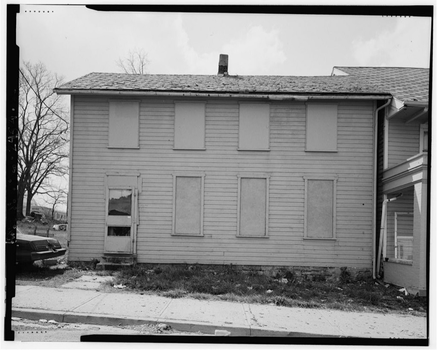
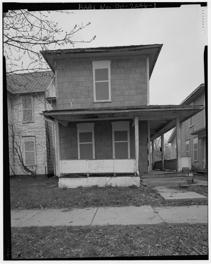
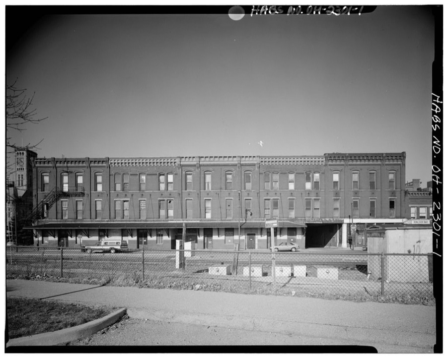
8 photographs,Taken for the Office of War Information and the Farm Security Administration, who photographed the country between 1935 and 1944. Works of United States government photographers, with no known restriction on use. Each opens its catalogue record.
Unattributed, . Library of Congress
Unattributed, . Library of Congress
Unattributed, . Library of Congress
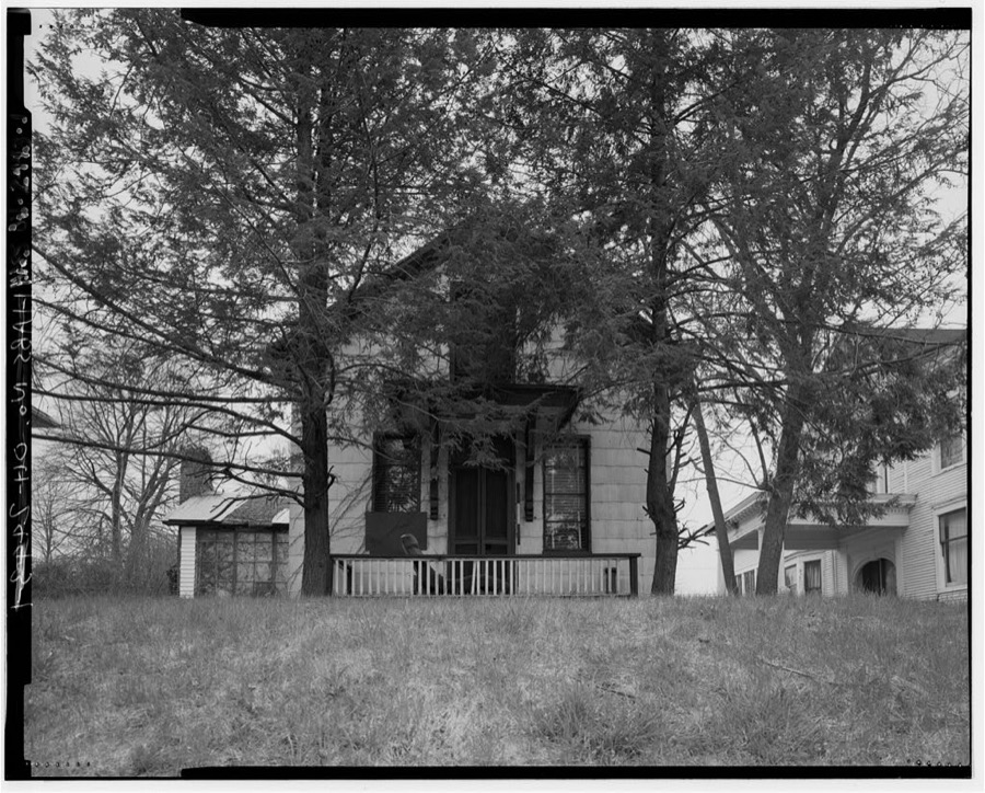
Unattributed, . Library of Congress
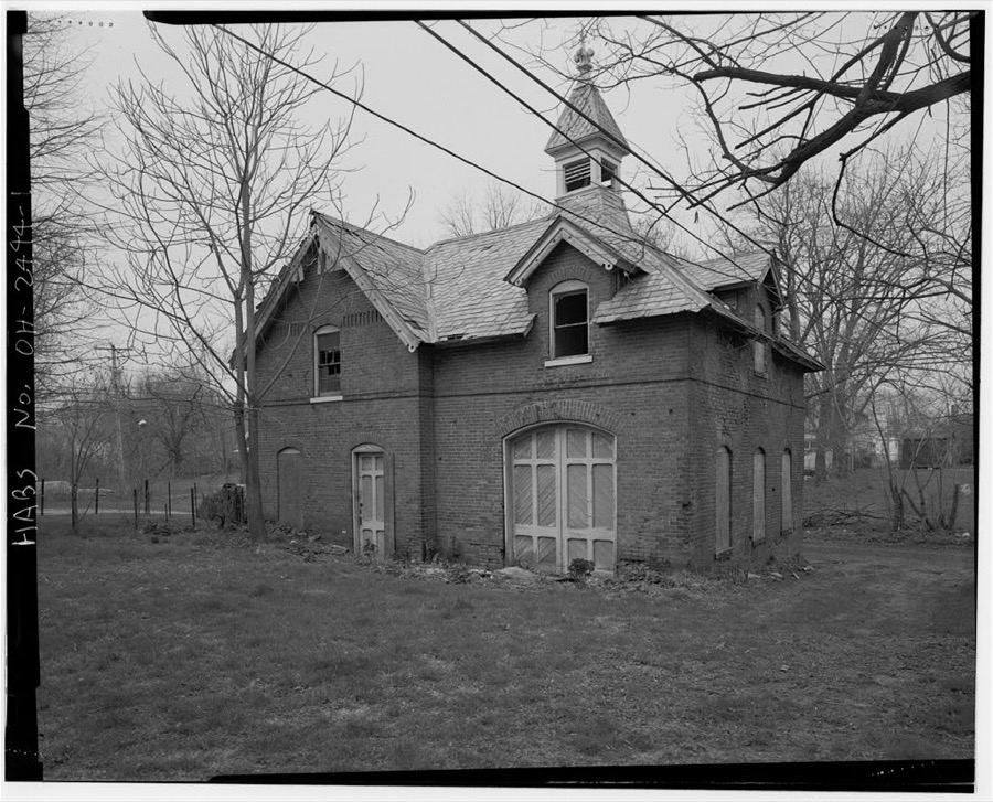
Unattributed, . Library of Congress
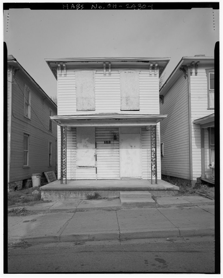
Unattributed, . Library of Congress
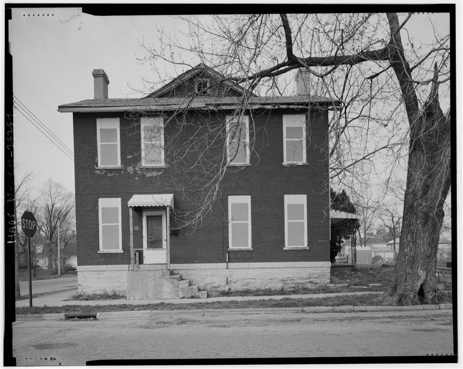
Unattributed, . Library of Congress
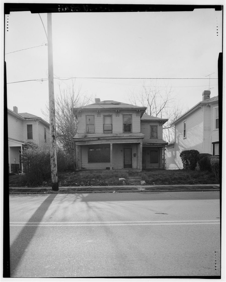
Unattributed, . Library of Congress
Fires near this place
6 since 2002Regional context, not property-specific evidence. The federal wildfire occurrence database lists 6 fires within 5 miles of Springfield between 2002 and 2002, burning about 18 acres in total. 1 started naturally. 1 was recorded as arson. Distance is straight-line from the map coordinates, so a fire counted here may appear on a neighbouring settlement's page as well.
| Reported cause | Fires |
|---|---|
| Missing data/not specified/undetermined | 2 |
| Natural | 1 |
| Debris and open burning | 1 |
| Recreation and ceremony | 1 |
| Arson/incendiarism | 1 |
The most recent of them, most recent first, with the day each was reported and the service that recorded it.
| Date | Cause | Size | Reported by | Name on the report |
|---|---|---|---|---|
| 12 September 2002 | Missing data/not specified/undetermined | 1.0 acres | Ohio State Fire Marshal's Office | not named |
| 21 August 2002 | Missing data/not specified/undetermined | 15 acres | Ohio State Fire Marshal's Office | not named |
| 23 February 2002 | Debris and open burning | under an acre | Ohio State Fire Marshal's Office | not named |
| 25 October 2002 | Natural | under an acre | Ohio State Fire Marshal's Office | not named |
| 18 October 2002 | Arson/incendiarism | under an acre | Ohio State Fire Marshal's Office | not named |
| 1 October 2002 | Recreation and ceremony | under an acre | Ohio State Fire Marshal's Office | not named |
Settlements close enough to share some of these fires:
Specimens collected near this place
12 of 1,429 shownRegional context, not property-specific evidence. Museums hold 1,429 specimens collected within 10 miles of Springfield between 1840 and 1975: 957 Animalia, 333 Plantae, 136 Fungi, 2 Unrecorded, 1 Chromista. 12 distinct Species records are shown. Collected by 73.7; J.H., ?, A JOHN and others. Each is a physical object with a catalogue number, and each entry opens the museum's record. This is what was collected and kept, not a survey of what lives here - nothing can be concluded from a species being absent.
| Image | Species | Year | Collected by | Where, as recorded |
|---|---|---|---|---|
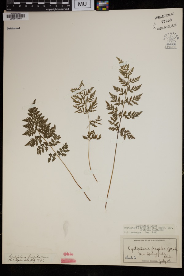 | Cystopteris protrusa (Weath.) Blasdell | 1878 | Beardslee, H.C. | near Springfield |
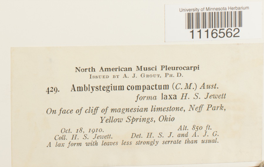 | Conardia compacta (Müll.Hal.) H.Rob. | 1910 | H.S. Jewett | Neff Park, Yellow Springs |
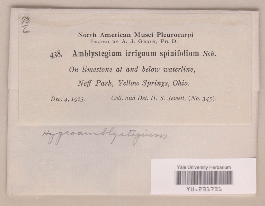 | Hygroamblystegium irriguum var. spinifolium Mönk. | 1913 | Henry S. Jewett | Neff Park |
 | Caulophyllum thalictroides (L.) Michx. | 1840 | Williams, M.G. | Springfield |
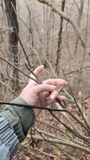 | Staphylea trifolia L. | 1840 | Williams, M.G. | Springfield |
 | Funaria hygrometrica Hedw. | 1846 | not recorded | Springfield |
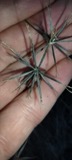 | Bidens bipinnata L. | 1870 | J Y Bergen; T L Bergen | Yellow Springs |
 | Bryhnia graminicolor (Brid.) Grout | 1870 | J. W. Eckfeldt | near Springfield |
 | Bryum pseudotriquetrum var. bimum (Schreb.) Lilj. | 1870 | J. W. Eckfeldt | Springfield |
 | Hygroamblystegium tenax subsp. orthocladon (P.Beauv.) Wijk & Margad. | 1870 | J. W. Eckfeldt | Springfield |
 | Schwetschkeopsis denticulata (Sull.) Broth. | 1870 | J. W. Eckfeldt | Springfield |
 | Amblystegium serpens var. angustifolium H.Lindb. ex Limpr. | 1871 | H. J. Biddlecome | Springfield |
All 1,429 specimens within 10 miles, at the Global Biodiversity Information Facility.
Mines and quarries near this place
7 within 5 milesRegional context, not property-specific evidence. The federal mineral resources record lists 7 workings within 5 miles of Springfield: 5 past producers, 2 producers. 2 still produce. What was taken out: Sand and Gravel, Construction, Stone, Crushed/Broken. Distance is straight-line from the map coordinates, so a quarry counted here may appear on a neighbouring settlement's page as well.
| Where | Site | Commodity | Status | Recorded |
|---|---|---|---|---|
| Springfield Quarry | Stone, Crushed/Broken | Producer | ||
| Eagle City Pit | Sand and Gravel, Construction | Past Producer | Sedimentary | |
| Eagle City Pit | Sand and Gravel, Construction | Past Producer | ||
| Springfield Pit | Sand and Gravel, Construction | Past Producer | Sedimentary | |
| Springfield Pit | Sand and Gravel, Construction | Past Producer | ||
| Springfield Sand and Gravel Pit | Sand and Gravel, Construction | Past Producer | Sedimentary | |
| Springfield Sand and Gravel Pit | Sand and Gravel, Construction | Producer |
Storms near this place
60 of 107 shownRegional context, not property-specific evidence. The National Weather Service names Springfield in 107 storm reports between 1994 and 2023: 56 thunderstorm wind, 31 hail, 10 flash flood, 4 flood. The reports record 2 injuries. Each account below is quoted exactly as the forecast office filed it, from the NOAA Storm Events Database, and each date opens the federal record of that event.
| When | Event | Place named | Harm | What the report says |
|---|---|---|---|---|
| May 1996 | Lightning | Springfield | 2 hurt | no account filed |
| May 2011 | Thunderstorm Wind | Springfield | $70,000 | Several utility poles were down, a barn was blown off of its foundation, and minor damage occurred to a house and an apartment due to damaging thunderstorm winds. |
| July 2012 | Thunderstorm Wind | Springfield | $20,000 | Multiple trees were downed or uprooted due to damaging thunderstorm winds. Some of the trees fell on houses. |
| May 2011 | Flash Flood | Springfield | $20,000 | Three water rescues occurred due to flash flooding in the area. |
| May 2007 | Tornado (EF0) | Springfield | $20,000 | A tornado touched down along Moorefield Road, just to the east of State Route 4. Trees were either uprooted or snapped off towards their tops with additional large limbs down from other trees. Some minor structural damage occured as well along the 250 yard damage path. The tornado was rated EF-0 with top wind speeds of 70 mph. |
| July 2023 | Thunderstorm Wind | Springfield | $15,000 | Several trees and power lines were downed along Leffel Lane, Possum Road and Ridge Road. A house also had minor roof and garage damage. |
| September 2010 | Thunderstorm Wind | Springfield | $15,000 | A barn was blown over on Victory Road. Several trees and power lines were down on Sintz Road. In another location, a roof was peeled back due to damaging thunderstorm winds. |
| April 2006 | Thunderstorm Wind | Springfield | $12,000 | There was scattered damage at a mobile home park affecting four mobile homes. A metal carport was heavily damaged. Three evergreen trees were also downed. |
| May 2006 | Thunderstorm Wind | Springfield | $12,000 | Numerous 12 to 15 inch diameter trees were downed in Snyder Park. A tree fell on a house on Upper Valley Pike. Part of the roof was removed as a result. |
| July 2003 | Thunderstorm Wind | Springfield | $12,000 | A barn roof was blown off. Numerous trees were downed. |
| July 2015 | Thunderstorm Wind | Springfield | $10,000 | A large tree was blown down onto Stanton Avenue and caused damage to a couple of vehicles. |
| July 2012 | Thunderstorm Wind | Springfield | $10,000 | Numerous trees and limbs were downed in the area due to damaging thunderstorm winds. |
| July 2003 | Thunderstorm Wind | Springfield | $10,000 | A tree fell on a home causing some damage to the roof. |
| June 2002 | Flash Flood | Springfield | $10,000 | Three to four inches of rain fell across southern Clark County as thunderstorms pushed slowly east during the late evening. A car was washed into a flooded ditch near the Springfield Airport along US 68. High water caused several road closures across the southern part of the county, with basements flooded on the south side of Springfield. |
| November 2000 | Thunderstorm Wind | Springfield | $10,000 | Trees and large limbs blown down, some of which fell across roads. |
| August 2003 | Thunderstorm Wind | Springfield | $6,000 | Numerous trees were downed on the northeast side of town. Ten streets were blocked by fallen trees, and one vehicle was struck by a tree. |
| May 2002 | Thunderstorm Wind | Springfield | $6,000 | Trees were knocked down. |
| May 2002 | Thunderstorm Wind | Springfield | $6,000 | Emergency crews were delayed from reaching a house that had it's roof torn off on Fletcher Pike due to a tree that was downed. |
| October 2013 | Thunderstorm Wind | Springfield | $5,000 | Trees were downed on the Wittenberg University campus due to thunderstorm winds. |
| July 2011 | Thunderstorm Wind | Springfield | $5,000 | Numerous trees were reported down. Power poles were snapped off four feet above the ground. Both occurrences were due to damaging thunderstorm winds. |
| May 2002 | Thunderstorm Wind | Springfield | $5,000 | Several trees were knocked down across the city. |
| October 2001 | Thunderstorm Wind | Springfield | $5,000 | A tree and several large limbs were blown down in town. |
| April 2000 | Thunderstorm Wind | Springfield | $5,000 | Trees downed. |
| August 2000 | Thunderstorm Wind | Springfield | $5,000 | Numerous trees were knocked down in Jacksonville. |
| August 2000 | Thunderstorm Wind | Springfield | $5,000 | Thunderstorm winds knocked down several trees. |
| October 1999 | Thunderstorm Wind | Springfield | $5,000 | Trees and powerlines were knocked down in the Northridge section of Springfield. |
| June 1998 | Thunderstorm Wind | Springfield | $5,000 | Trees downed. |
| July 1997 | Thunderstorm Wind | Springfield | $5,000 | Numerous trees downed. |
| April 1994 | Thunderstorm Wind | Springfield | $5,000 | Trees, utility poles, and power lines downed. |
| October 2006 | Hail | Springfield | $5,000 | no account filed |
| May 2004 | Hail | Springfield | $5,000 | no account filed |
| July 2023 | Thunderstorm Wind | Springfield | $4,000 | A few trees were downed. |
| July 2003 | Thunderstorm Wind | Springfield | $4,000 | Several trees and powerlines were downed. |
| June 1995 | Thunderstorm Wind | Springfield | $4,000 | Trees downed, some knocking down power lines. |
| July 1996 | Thunderstorm Wind | Springfield | $4,000 | no account filed |
| May 2022 | Thunderstorm Wind | Springfield | $3,000 | A few trees were downed. |
| January 2008 | Thunderstorm Wind | Springfield | $3,000 | Trees were knocked down. |
| June 2008 | Thunderstorm Wind | Springfield | $3,000 | Several trees were downed. |
| March 2007 | Flood | Springfield | $3,000 | A few roads were flooded across the county. |
| July 2006 | Thunderstorm Wind | Springfield | $3,000 | Trees and a power pole were knocked down. |
| June 2005 | Thunderstorm Wind | Springfield | $3,000 | Power poles were downed. |
| August 2005 | Thunderstorm Wind | Springfield | $3,000 | A few trees and powerlines were downed. |
| May 2004 | Thunderstorm Wind | Springfield | $3,000 | A couple of trees were downed. |
| May 2002 | Thunderstorm Wind | Springfield | $3,000 | Several trees were downed on Ridge Road. |
| July 2001 | Thunderstorm Wind | Springfield | $3,000 | Strong winds knocked down numerous trees and powerlines. A few buildings sustained some damage. |
| May 2000 | Thunderstorm Wind | Springfield | $3,000 | Trees downed. |
| October 2000 | Flash Flood | Springfield | $3,000 | Heavy rainfall caused streets to be flooded. |
| June 2012 | Thunderstorm Wind | Springfield | $2,000 | Trees were reported down due to damaging thunderstorm winds. |
| May 2011 | Flash Flood | Springfield | $2,000 | Several roads had a foot of moving water over them due to heavy rainfall. |
| May 2011 | Flash Flood | Springfield | $2,000 | One foot of water was reported over several roadways due to heavy rainfall. |
| August 2010 | Thunderstorm Wind | Springfield | $2,000 | A tree was reported down due to damaging thunderstorm winds. Power lines and several large branches were also reported down around the area. |
| July 2010 | Flash Flood | Springfield | $2,000 | Several inches of water was running across roadways due to heavy rainfall. |
| October 2010 | Thunderstorm Wind | Springfield | $2,000 | Trees were reported down countywide due to damaging thunderstorm winds. |
| June 2008 | Thunderstorm Wind | Springfield | $2,000 | A few trees were knocked down. |
| May 2007 | Thunderstorm Wind | Springfield | $2,000 | Large tree limbs were knocked down. |
| July 2007 | Thunderstorm Wind | Springfield | $2,000 | Large tree limbs were downed. |
| August 2006 | Thunderstorm Wind | Springfield | $2,000 | Power lines were downed by the thunderstorm winds. |
| July 2003 | Thunderstorm Wind | Springfield | $2,000 | Several 4 to 5 inch tree limbs downed. |
| May 2002 | Hail | Springfield | $2,000 | Report was received from Buckcreek State Park. |
| June 2000 | Thunderstorm Wind | Springfield | $2,000 | A couple of trees were downed in the Springfield area. |
Newspapers printed here
0 digitised pages2 papers published in this town, digitised by the Library of Congress and free to read: 0 issues, 0 pages. Every page is searchable, so a name or a street can be looked for directly in what the town printed about itself at the time.
| Newspaper | Published |
|---|---|
| Springfield Globe-Republic | 1884 to 1887 |
| Springfield Daily Republic | 1887 to 1888 |
What the paper printed
43,576 wordsFront pages of the local paper, read from the Library of Congress scans: 10 issues spread across its run from 1885 to 1888, 43,576 words in total. Each is reproduced on its own page, exactly as the recogniser returned it.
These pages read less well than anything else here, and the number is worth stating: about three words in four come through cleanly, against nine in ten for the building records. An 1896 broadsheet sets eight-point type in seven columns on microfilm, which is the hardest thing in this archive to read by machine. We tested our own recognisers against the Library's and they were not better, so the Library's text is what appears, with the wholly unreadable columns removed. Read it as a guide to what the paper covered, and follow the link to the scan before quoting anything.
| Issue | Paper | Length |
|---|---|---|
| 1885-01-01 | Springfield Globe-Republic | 721 words |
| 1885-03-15 | Springfield Globe-Republic | 7,096 words |
| 1885-05-27 | Springfield Globe-Republic | 6,771 words |
| 1885-08-10 | Springfield Globe-Republic | 3,851 words |
| 1885-10-22 | Springfield Globe-Republic | 1,301 words |
| 1887-03-17 | Springfield Daily Republic | 7,754 words |
| 1887-05-27 | Springfield Daily Republic | 3,771 words |
| 1887-08-09 | Springfield Daily Republic | 392 words |
| 1887-10-19 | Springfield Daily Republic | 6,772 words |
| 1888-09-11 | Springfield Daily Republic | 5,147 words |
Nearest settlements
The eight closest, with where each one stands in the county. Distances are straight-line, computed from the Geographic Names Information System coordinates.
| Map | Place | Distance | Sheets |
|---|---|---|---|
| North Hill | 0.6 miles | 15 | |
| Riceville (historical) | 1.3 miles | 15 | |
| Snyder Terrace | 1.6 miles | 15 | |
| Warder Park | 1.7 miles | 15 | |
| Southgate | 1.7 miles | 15 | |
| Ridgewood | 1.8 miles | 15 | |
| Lagonda | 1.9 miles | 15 | |
| Kenwood Heights | 1.9 miles | 15 |
Elsewhere
Matched on this settlement's Geographic Names Information System number rather than its name, so it cannot be a different place of the same name in another state.
| Wikipedia article on Springfield | An encyclopaedic summary. Its text is share-alike, so it is linked here rather than copied. |
| Wikidata item Q40325 | The structured record the population and elevation above come from. Public domain (CC0). |
Provenance
This settlement is recorded in the Geographic Names Information System as feature 1065370. The sheet list is computed by point-in-boundary test against the United States Geological Survey's historical topographic inventory. Both are works of the United States government and carry no copyright under 17 U.S.C. 105.
Wildfire. Short, Karen C. 2022. Spatial wildfire occurrence data for the United States, 1992-2020 [FPA_FOD_20221014]. 6th Edition. Fort Collins, CO: Forest Service Research Data Archive. https://doi.org/10.2737/RDS-2013-0009.6 Collected with United States Government funding and usable without additional permissions or fees.
Specimens. Global Biodiversity Information Facility (GBIF), https://www.gbif.org/. Only records licensed CC0 or CC BY are used. Records licensed CC BY-NC are excluded because this site carries advertising. Images are checked individually and any whose licence is non-commercial, no-derivatives or unreadable is refused.
Mines and quarries. USGS Mineral Resources Data System (MRDS) https://mrdata.usgs.gov/mrds/ A work of the United States government, no copyright under 17 U.S.C. 105.
Storms. NOAA National Centers for Environmental Information, Storm Events Database https://www.ncei.noaa.gov/stormevents/ A work of the United States government, no copyright under 17 U.S.C. 105. Narratives are quoted verbatim from the National Weather Service report and are not edited or summarised.