 Block
Block
Norwood, Ohio
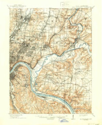
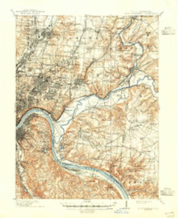
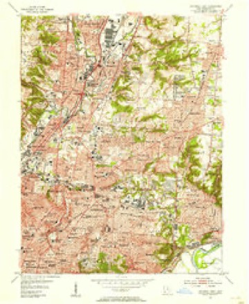
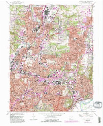
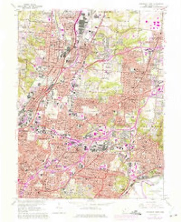
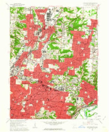
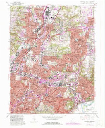
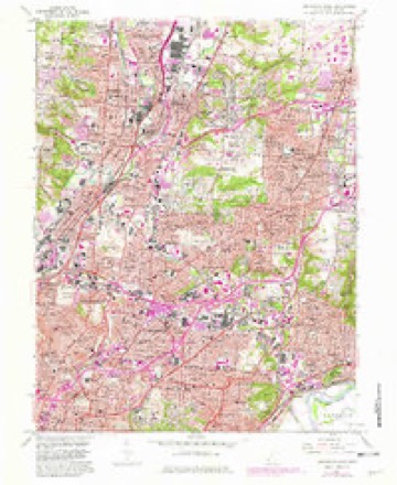
19 topographic sheets cover this place, the earliest surveyed in 1898 and the latest in 1986. It stands in Norwood City. It lies in ZIP code area 45212. The Survey maps it on the Cincinnati East quadrangle. 19,043 people lived here at the 2020 count. It stands 656 feet above sea level.
Population over time
2 figuresNorwood fell from 19,207 to 19,043 between 2010 and 2020. These are the recorded population figures Wikidata holds for this place, reached through the Geographic Names Information System number this page is keyed on rather than by name, so they belong to this place and not to another of the same name. Most are census counts, but not all are: an early figure may be a founding or settlement estimate. The change column is computed, and is left blank where more than 20 years separate a figure from the one before it, because a gap that long is not a change between two counts.
| Year | People | Change |
|---|---|---|
| 2010 | 19,207 | |
| 2020 | 19,043 | -164 (-1%) |
Then and now
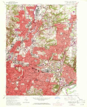
1898 to 1986The same ground, surveyed 88 years apart. Drag the handle to wipe between them. Both sheets are United States Geological Survey originals; neither has been altered.

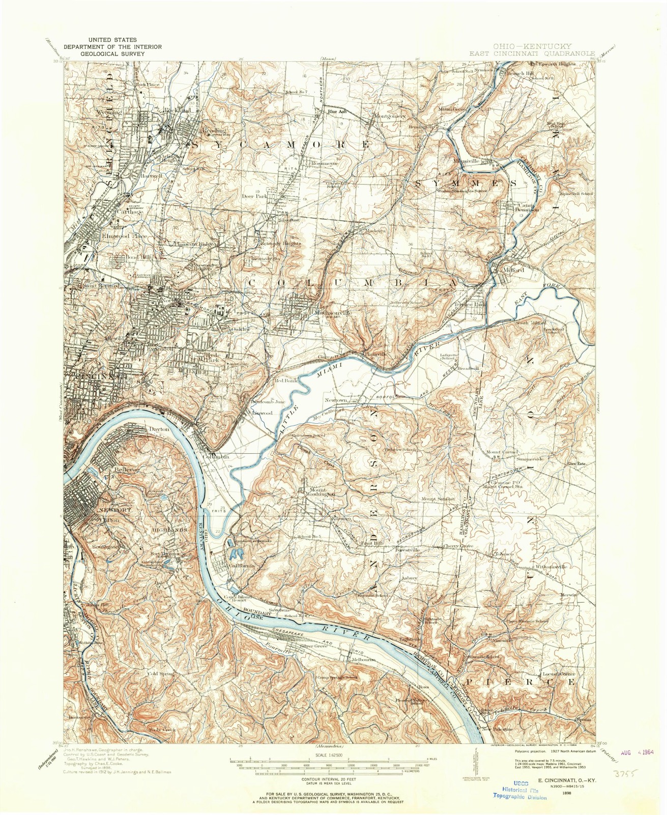
Topographic sheets covering this place
19 sheetsMatched by testing this settlement's coordinate against the published boundary of every sheet in the United States Geological Survey's historical collection. Each opens the scanned sheet at the Survey.
- 1898 USGS East Cincinnati quadrangle1:62500
- 1914 USGS East Cincinnati quadrangle1:62500
- 1914 USGS East Cincinnati quadrangle1:62500
- 1914 USGS East Cincinnati quadrangle1:62500
- 1914 USGS East Cincinnati quadrangle1:62500
- 1953 USGS Cincinnati quadrangle1:250000
- 1953 USGS Cincinnati quadrangle1:250000
- 1953 USGS Cincinnati quadrangle1:250000
- 1953 USGS Cincinnati East quadrangle1:24000
- 1957 USGS Cincinnati quadrangle1:250000
- 1961 USGS Cincinnati East quadrangle1:24000
- 1961 USGS Cincinnati East quadrangle1:24000
- 1961 USGS Cincinnati East quadrangle1:24000
- 1961 USGS Cincinnati East quadrangle1:24000
- 1961 USGS Cincinnati East quadrangle1:24000
- 1961 USGS Cincinnati East quadrangle1:24000
- 1986 USGS Cincinnati quadrangle1:100000
- 1986 USGS Cincinnati quadrangle1:100000
- 1986 USGS Cincinnati quadrangle1:100000







What happened here
An account from the chapter on Norwood city, The inset identifies its exact source book and publication year.
Jared Cloud
of Colerain township, was born on St. Patrick's day, the seventeenth of March, 1808; is of Welsh and English descent on his father's side and of French descent on that of his mother. Mason Jones Cloud, his grandfather, came from Virginia about the year 1778, and settled in Boone county, Kentucky. Unfortunately for the fate of Mason, he was required to return to Virginia for a sum of money there due him, and after only a three days' stay in his new home, in company with two others, set out on his perilous trip, and, with his companions, was massacred on Licking river by the hostile Indians.
In the county-history sources
13,717 words on this townshipHistory of Hamilton County, Ohio, with Illustrations and Biographical Sketches, published 1881 names this settlement in its chapter on Norwood City. These are the passages that mention it, exactly as the scans read.
This beautiful and noted suburb was formerly known in part as Sharpsburgh. It is on the Montgomery turnpike, and the Marietta & Cincinnati railroad, in the northwest part of section thirty-tour, near the west line of the township. Some of the ground near, as that upon which the celebrated mound is situated (Norwood Heights), is among the. most elevated in the county. It was projected in 1870 by some well-known residents and Cincinnatians - Colonel P. P. Lane, Judge James
Passage source: History of Hamilton County, Ohio, with Illustrations and Biographical Sketches, published 1881.
For many years Judge McCullough was accustomed, with the annual recurrence of Independence day, to invite large parties to the free use of his house and beautiful grounds at Norwood, serving them also a generous and gratuitous collation.
Passage source: History of Hamilton County, Ohio, with Illustrations and Biographical Sketches, published 1881.
This place, a mile and a half south-southwest of Norwood, and something less from the northwest corner of Cincinnati, being just a mile from the Observatory, began to be considered a suburb of considerable importance by 1867, soon after the completion of the Marietta & Cincinnati railroad. It was not regularly laid out, however, until-1870, when Mr. Theodore Drake had the place surveyed and platted. It is beautifully situated upon the railroad named, upon the margin of the great interior valley mentioned in our description of the township, and is also conveniently reached by the Madison pike, being only five miles from the county court house, in the city. Its site was formerly owned by Anthony Brown, who sold it to Paul Shuster. Among its flourishing institutions have been the Literary and Musical society, and the Oakley Coterie. By the census of 1880 the village had two hundred inhabitants.
Passage source: History of Hamilton County, Ohio, with Illustrations and Biographical Sketches, published 1881.
Machine-read from a century-old scan, so expect the errors a machine makes: misspelled names, dropped words, stray characters.
Read the whole chapter on Norwood City - it names this place 4 more 4 times.
Photographs
2 photographs,Taken for the Office of War Information and the Farm Security Administration, who photographed the country between 1935 and 1944. Works of United States government photographers, with no known restriction on use. Each opens its catalogue record.
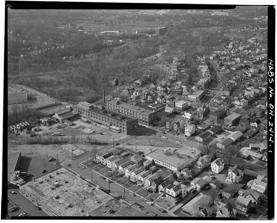
Unattributed, . Library of Congress
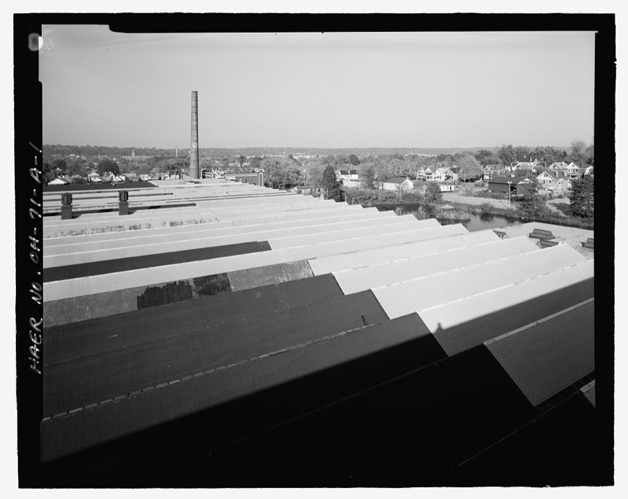
Unattributed, . Library of Congress
Specimens collected near this place
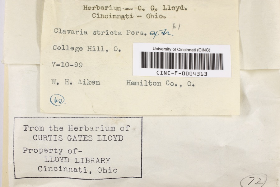
12 of 7,287 shownRegional context, not property-specific evidence. Museums hold 7,287 specimens collected within 10 miles of Norwood between 1819 and 1975: 3,913 Fungi, 1,932 Animalia, 954 Plantae, 434 Protozoa, 33 Unrecorded, 20 Chromista, 1 Bacteria. 12 distinct Species records are shown. Collected by A Schwartz, A. Braun, A. F. Braun and others. Each is a physical object with a catalogue number, and each entry opens the museum's record. This is what was collected and kept, not a survey of what lives here - nothing can be concluded from a species being absent.
| Image | Species | Year | Collected by | Where, as recorded |
|---|---|---|---|---|
 | Clavaria striata Pers. | 1899 | Aiken, Walter H. | College Hill |
 | Corticium polyporoideum Berk. & M.A.Curtis | 1899 | C.G. Lloyd | Cincinnati |
 | Microsphaera diffusa Cooke & Peck | 1899 | Aiken, Walter H. | Cincinnati |
 | Quercus × leana Nutt. | 1819 | Thomas Nuttall | 3 miles North of Cincinnati |
 | Atrichum angustatum (Brid.) Bruch & Schimp. | 1820 | T. G. Lea | probably Cincinnatti |
 | Barbula unguiculata Hedw. | 1820 | T. G. Lea | probably Cincinnatti |
 | Sebacina calcea (Pers.) Bres. | 1827 | Lloyd C. G. | Linwood |
 | Rhus venenata DC. | 1830 | Clark, Joseph | North of Cincinnati |
 | Equisetum arvense L. | 1834 | Short, Charles Wilkins; Lea, Thomas G. | Cincinnati |
 | Carex comosa Boott | 1835 | Collector unspecified | In citivate Ohio prope Cincinnati. [Inferred locality from precise loc.] |
 | Carex lupulina Muhl. ex Willd. | 1835 | Joseph C. Frank | Cincinnati. |
| Albugo candida (Pers. ex J.F.Gmel.) Roussel | 1897 | Kellerman, W.A. | College Hill |
All 7,287 specimens within 10 miles, at the Global Biodiversity Information Facility.
Mines and quarries near this place
5 within 5 milesRegional context, not property-specific evidence. The federal mineral resources record lists 5 workings within 5 miles of Norwood: 3 unknowns, 1 past producer, 1 producer. 1 still produces. What was taken out: Sand and Gravel, Construction, Zirconium, Titanium, Tin, Lead, Antimony. Distance is straight-line from the map coordinates, so a quarry counted here may appear on a neighbouring settlement's page as well.
| Where | Site | Commodity | Status | Recorded |
|---|---|---|---|---|
| Avril Co/ Cincinnati, Ohio | Tin, Lead, Antimony | Unknown | ||
| Continental Mineral/ Sharonville Oh | Zirconium, Titanium | Unknown | ||
| N L Industries/ Cincinnati, Ohio | Zirconium | Unknown | ||
| George L. Rack Pit | Sand and Gravel, Construction | Past Producer | Sedimentary | |
| George L. Rack Pit | Sand and Gravel, Construction | Producer |
Storms near this place
17 since 1996Regional context, not property-specific evidence. The National Weather Service names Norwood in 17 storm reports between 1996 and 2024: 8 thunderstorm wind, 4 flash flood, 4 hail, 1 flood. No death or injury is recorded in these reports. Each account below is quoted exactly as the forecast office filed it, from the NOAA Storm Events Database, and each date opens the federal record of that event.
| When | Event | Place named | Harm | What the report says |
|---|---|---|---|---|
| April 2006 | Thunderstorm Wind | Norwood | $30,000 | An apartment building suffered a partial collapse. |
| July 2023 | Thunderstorm Wind | Norwood | $20,000 | A few trees were downed, including two that fell onto parked cars. |
| September 2015 | Thunderstorm Wind | Norwood | $10,000 | Numerous trees and power lines were downed in the Madisonville area, especially along Roe Street. |
| May 2022 | Thunderstorm Wind | Norwood | $8,000 | A few trees were downed. A power pole and wires were also downed. |
| May 2024 | Thunderstorm Wind | Norwood | $3,000 | A few trees were downed. |
| July 2022 | Thunderstorm Wind | Norwood | $1,000 | A large tree was downed on Roe Street. |
| June 2010 | Thunderstorm Wind | Norwood | $1,000 | Large limbs were reported down due to damaging thunderstorm winds. |
| March 2017 | Flash Flood | Norwood | - | Residents were forced to evacuate homes along Simpson Avenue due to rising water. |
| August 2016 | Flash Flood | Norwood | - | One to two feet of water was reported on Wooster Pike. |
| July 2013 | Flood | Norwood | - | Water was over the road at Simpson Avenue and Bedford Street estimated at 2 feet deep due to heavy rainfall. |
| September 1998 | Flash Flood | Norwood | - | Several hours of heavy rainfall caused Duck Creek to rise out of its banks. Also, several roads were covered by high water. |
| September 2015 | Hail | Norwood | - | no account filed |
| April 2011 | Thunderstorm Wind | Norwood | - | no account filed |
| May 2010 | Hail | Norwood | - | no account filed |
| April 2001 | Hail | Norwood | - | no account filed |
| July 1997 | Hail | Norwood | - | no account filed |
| July 1996 | Flash Flood | Norwood | - | no account filed |
Nearest settlements
The eight closest, with where each one stands in the county. Distances are straight-line, computed from the Geographic Names Information System coordinates.
| Map | Place | Distance | Sheets |
|---|---|---|---|
| Idlewood | 0.9 miles | 19 | |
| Evanston | 0.9 miles | 19 | |
| Idlewild | 1.2 miles | 19 | |
| Bond Hill | 1.4 miles | 19 | |
| Oakley Square | 1.4 miles | 19 | |
| O'Bryonsville | 1.6 miles | 19 | |
| Hyde Park | 1.7 miles | 19 | |
| Oakley | 1.8 miles | 19 |
Elsewhere
Matched on this settlement's Geographic Names Information System number rather than its name, so it cannot be a different place of the same name in another state.
| Wikipedia article on Norwood | An encyclopaedic summary. Its text is share-alike, so it is linked here rather than copied. |
| Wikidata item Q740980 | The structured record the population and elevation above come from. Public domain (CC0). |
Provenance
This settlement is recorded in the Geographic Names Information System as feature 1056460. The sheet list is computed by point-in-boundary test against the United States Geological Survey's historical topographic inventory. Both are works of the United States government and carry no copyright under 17 U.S.C. 105.
Specimens. Global Biodiversity Information Facility (GBIF), https://www.gbif.org/. Only records licensed CC0 or CC BY are used. Records licensed CC BY-NC are excluded because this site carries advertising. Images are checked individually and any whose licence is non-commercial, no-derivatives or unreadable is refused.
Mines and quarries. USGS Mineral Resources Data System (MRDS) https://mrdata.usgs.gov/mrds/ A work of the United States government, no copyright under 17 U.S.C. 105.
Storms. NOAA National Centers for Environmental Information, Storm Events Database https://www.ncei.noaa.gov/stormevents/ A work of the United States government, no copyright under 17 U.S.C. 105. Narratives are quoted verbatim from the National Weather Service report and are not edited or summarised.