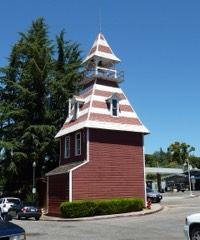
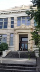
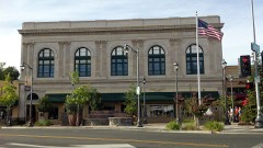
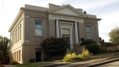
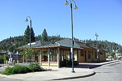
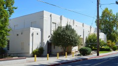
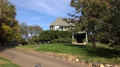
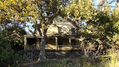
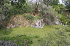
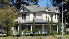
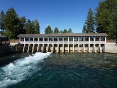
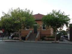
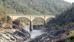
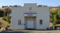
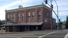
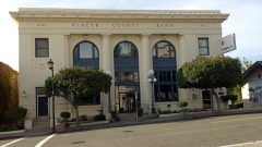
35 National Register listings published here · the county-history sources name 10 people · people the book names include William Ambrose (Auburn, 1882) · James W. Chinn (Dutch Flat, 1882) (machine-read).
California within the United StatesPlacer County within California
Explore by year
What the record shows
9 places in this county were surveyed for fire insurance: Roseville, Auburn, Lincoln, Newcastle, Rocklin, Colfax, Dutch Flat, Loomis, Penryn, between 1884 and 1944.
46 fire insurance atlases survive for the county. Topographic coverage is national; fire insurance survey reached only incorporated places with something worth insuring.
4,078 topographic sheet readings cover the county's settlements.
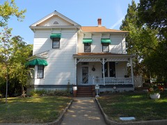
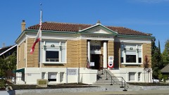
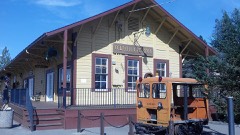
35 properties here are on the National Register of Historic Places: 24 buildings, 5 districts, 4 structures and 2 sites.
8 of the 35 listings were added during the 1970s.
The Geographic Names Information System records 125 populated places in this county; 125 are covered by at least one topographic sheet.
Photographs
42 photographs, 1940
Taken for the Office of War Information and
the Farm Security Administration, who photographed the country between
1935 and 1944. Works of United States government photographers, with no
known restriction on use. Each opens its catalogue record.
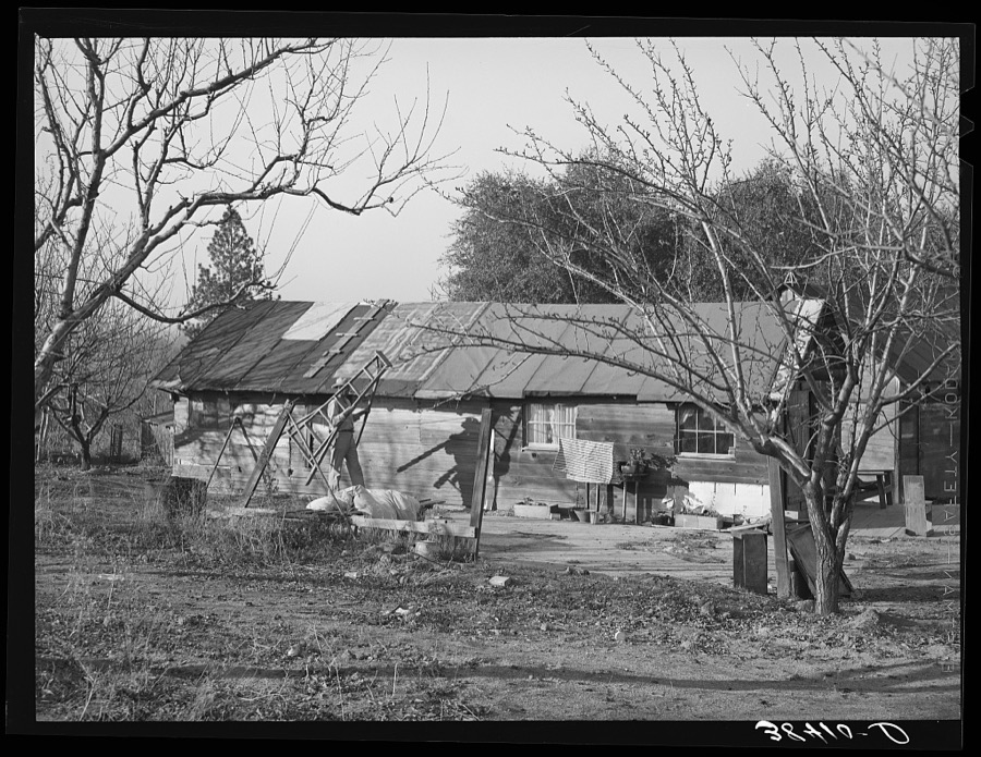
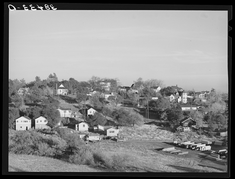
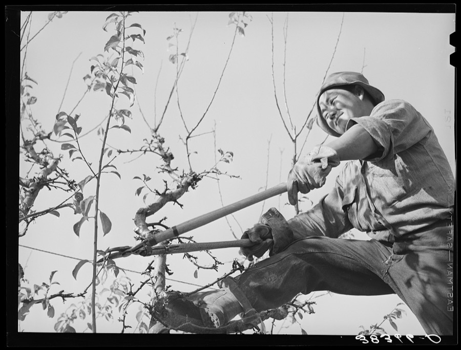
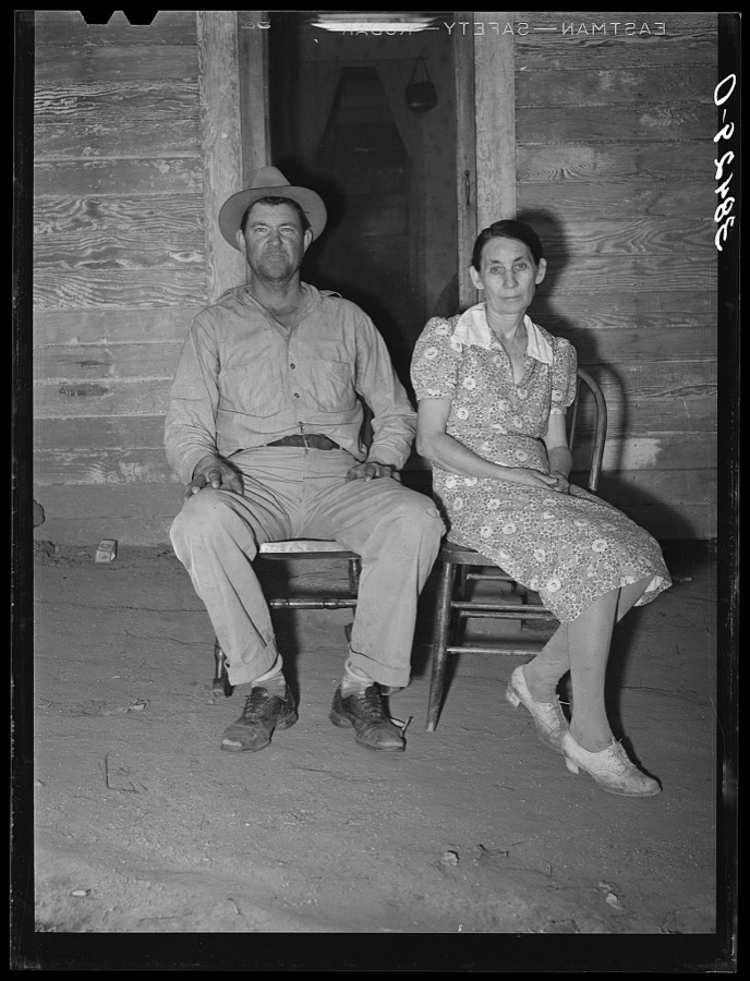
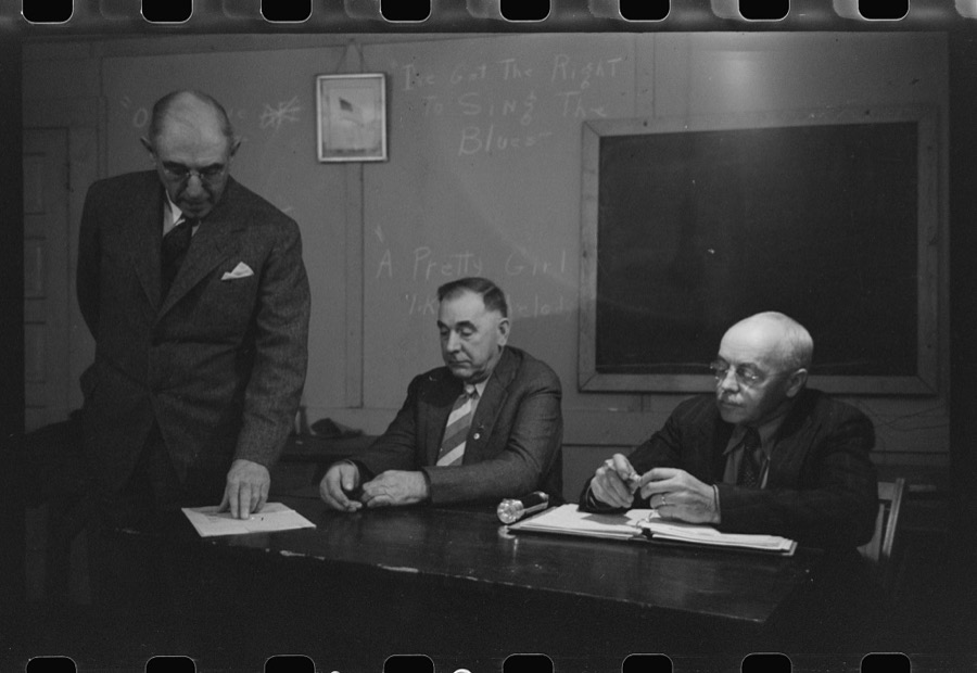
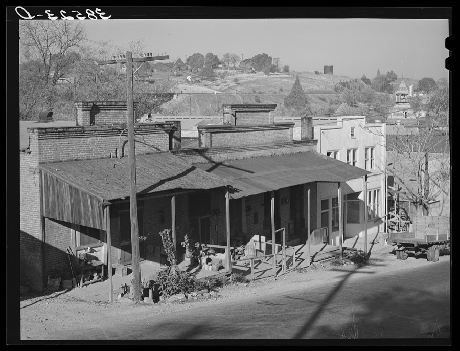
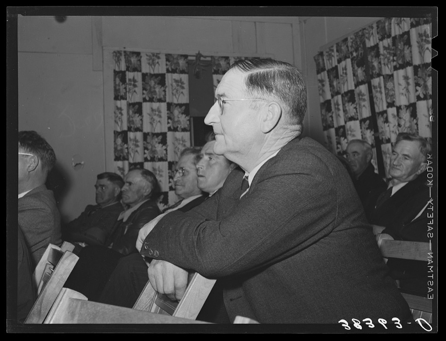
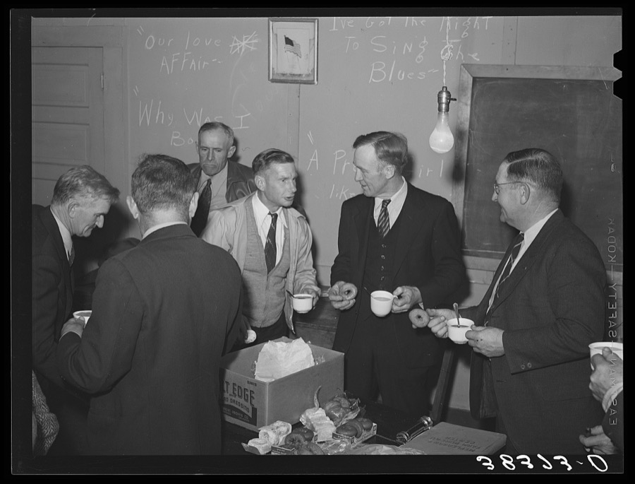
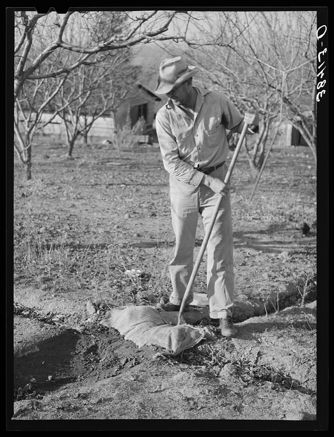
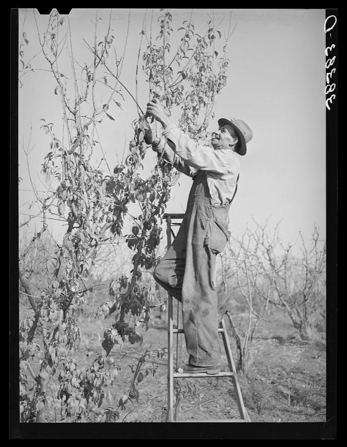
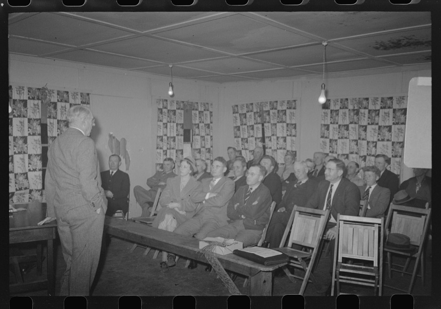
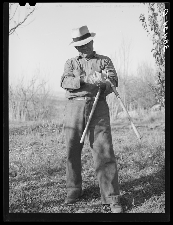
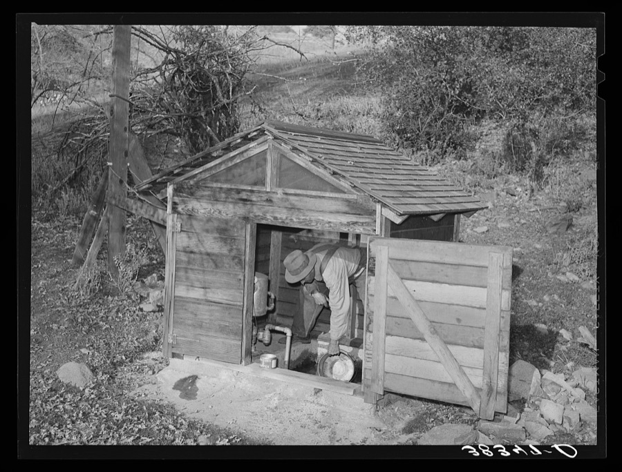
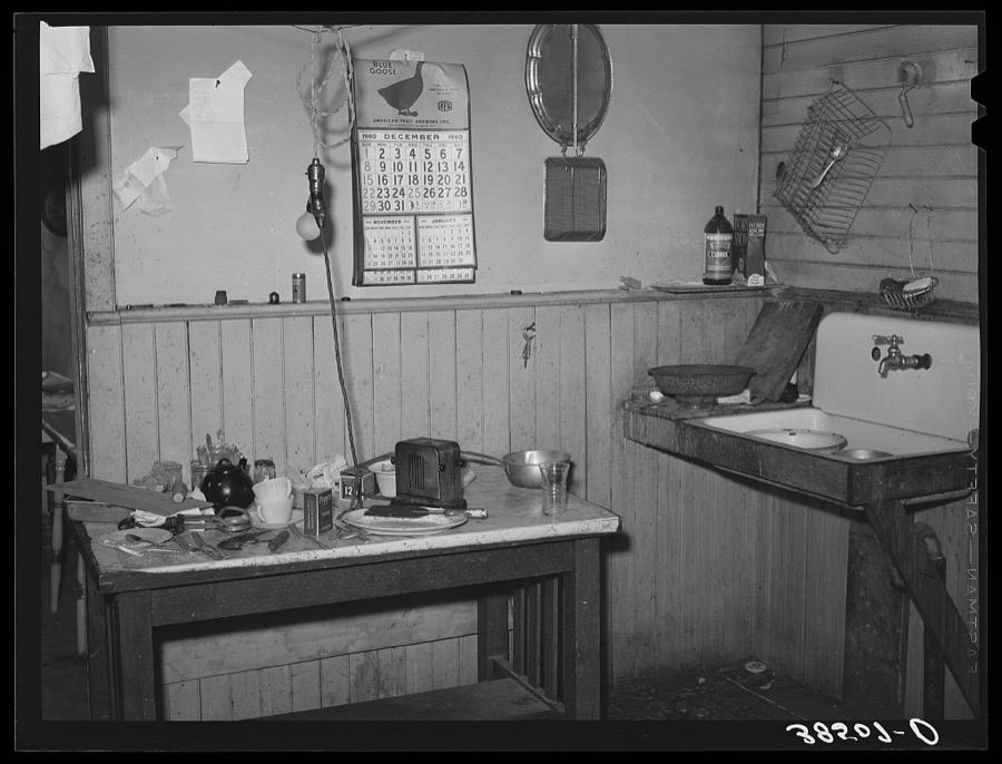
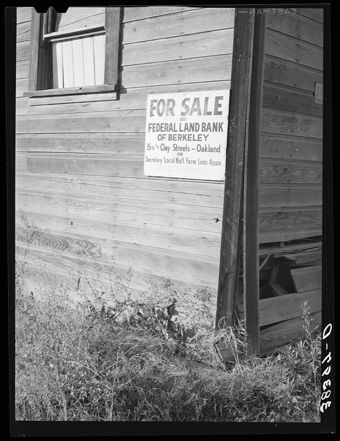
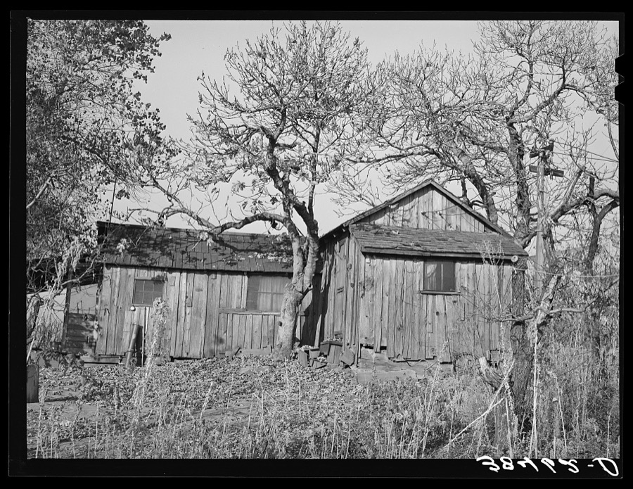
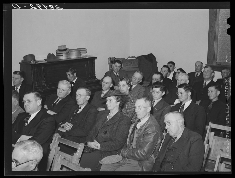
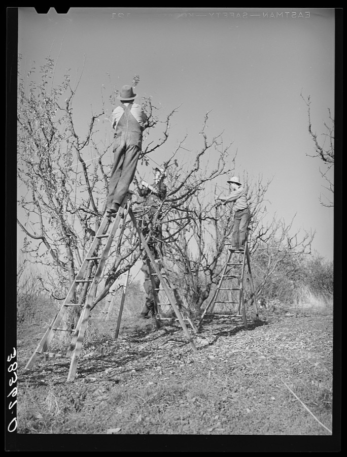
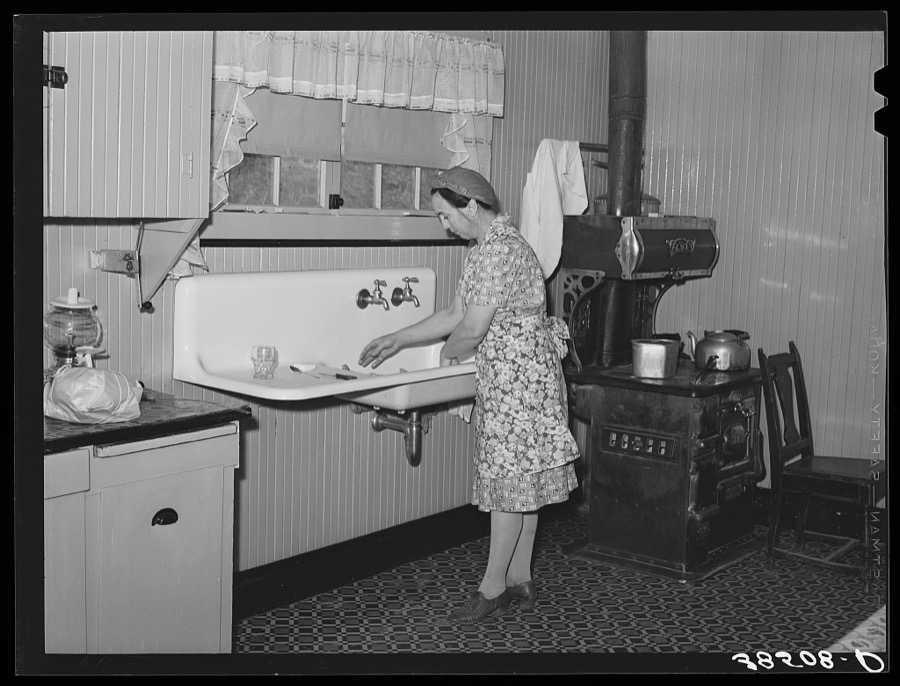
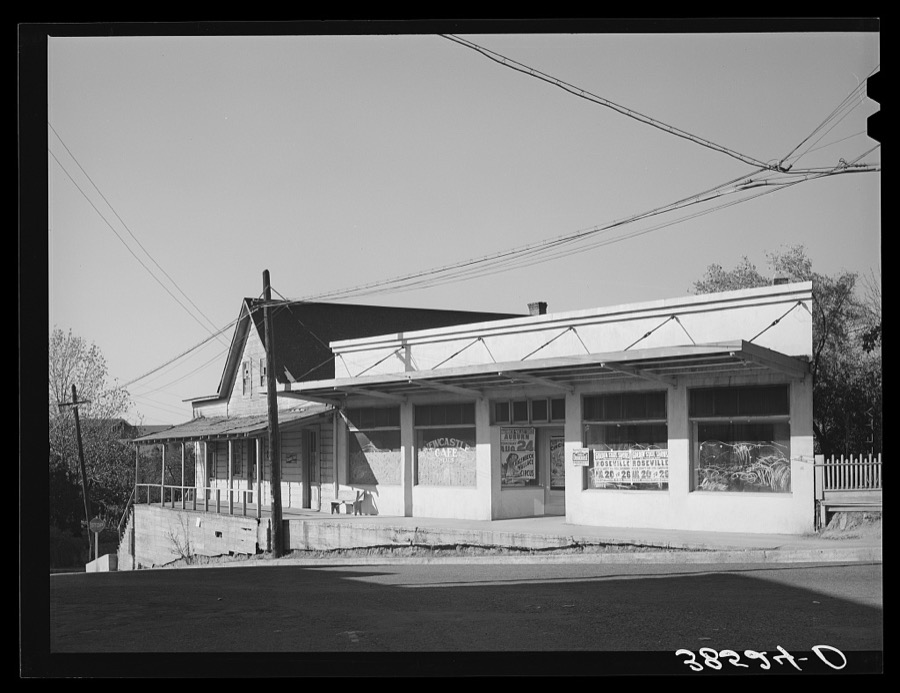
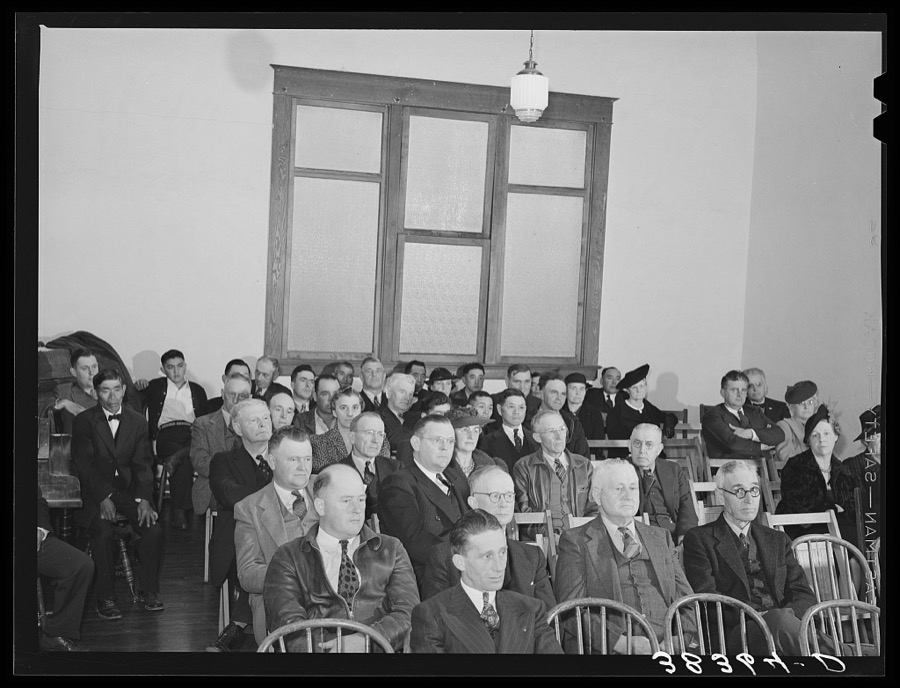
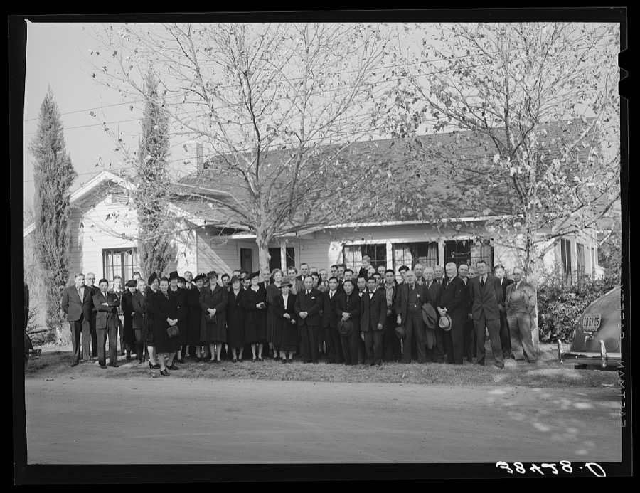
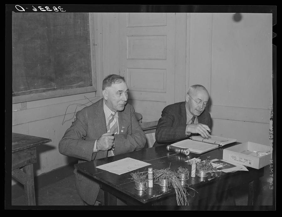
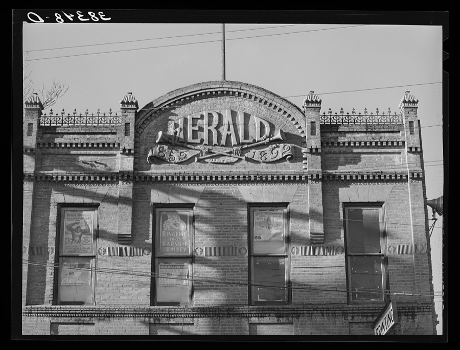
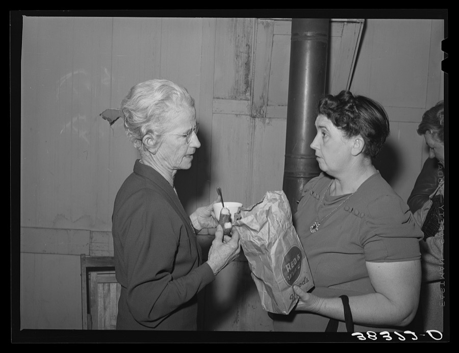
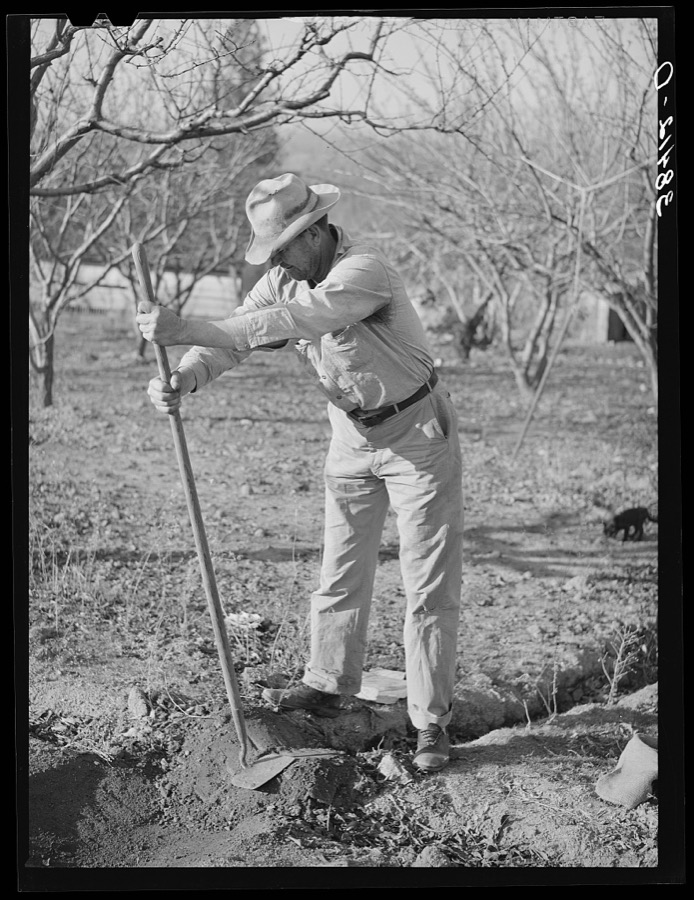
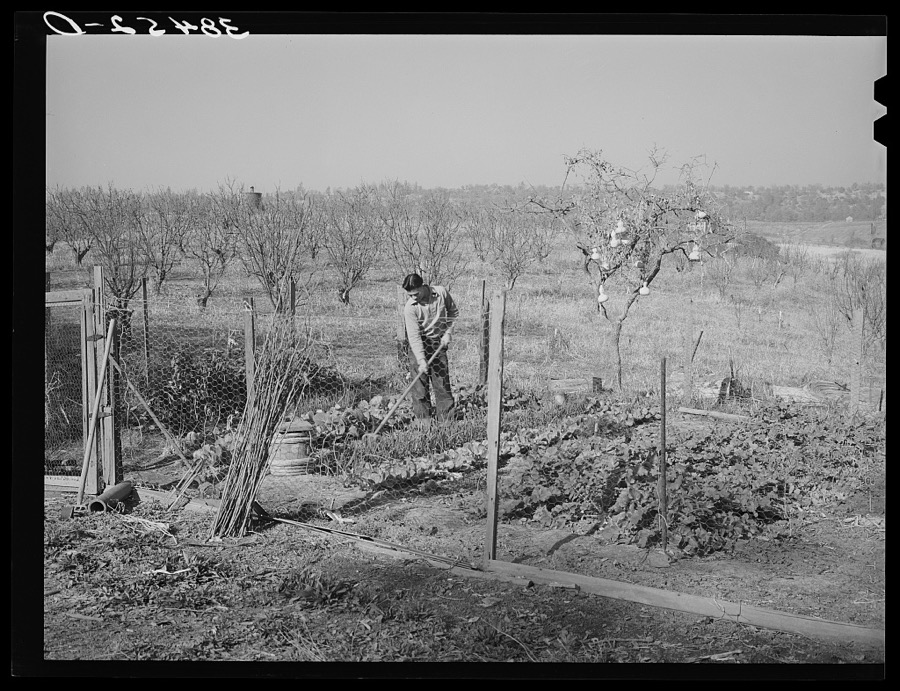
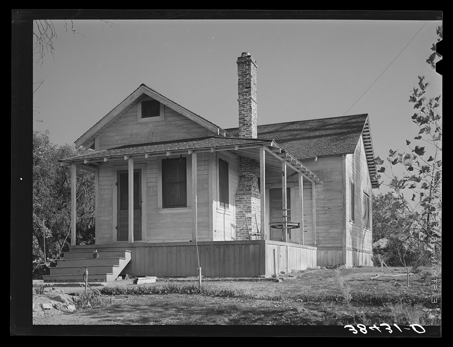
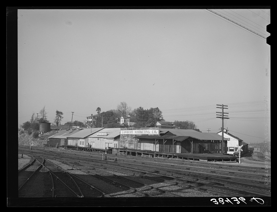
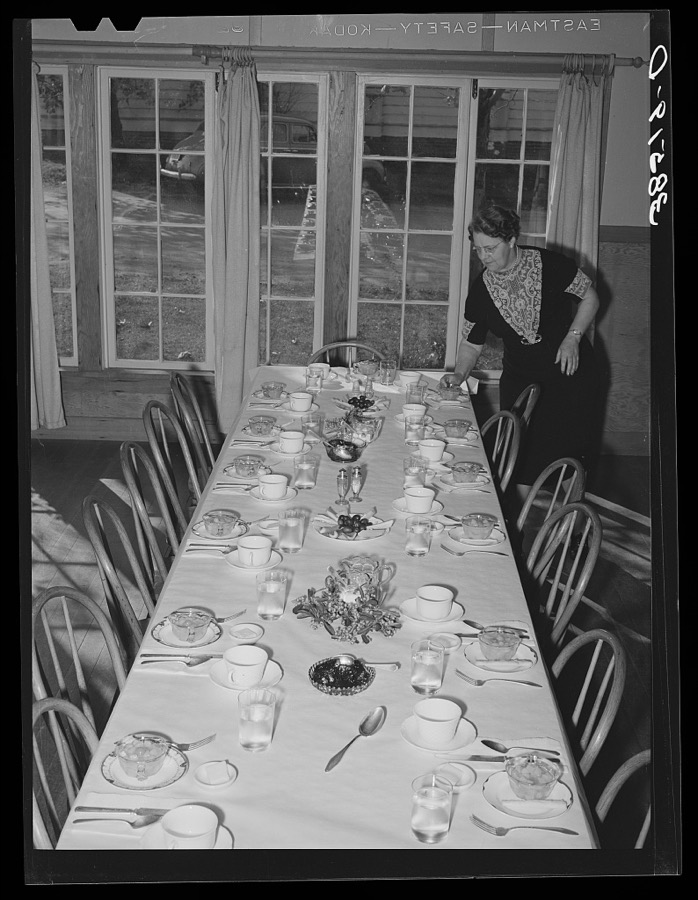
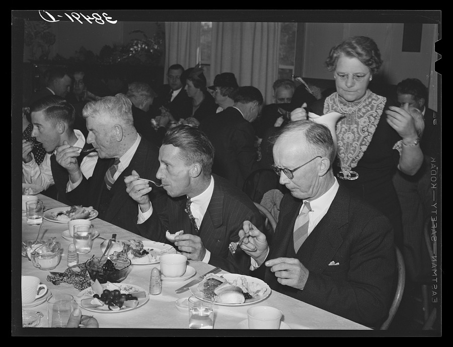
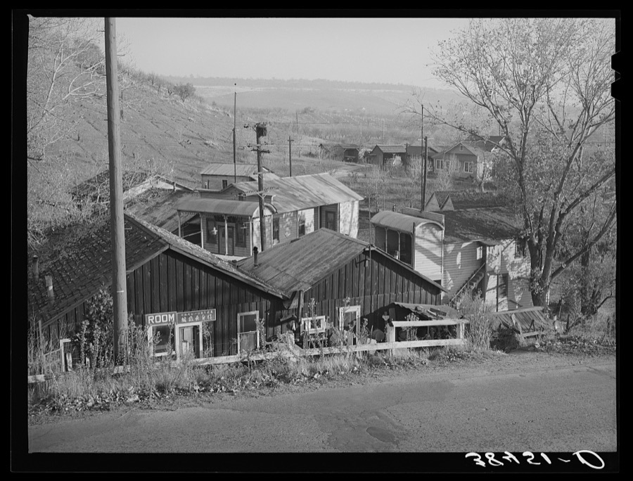
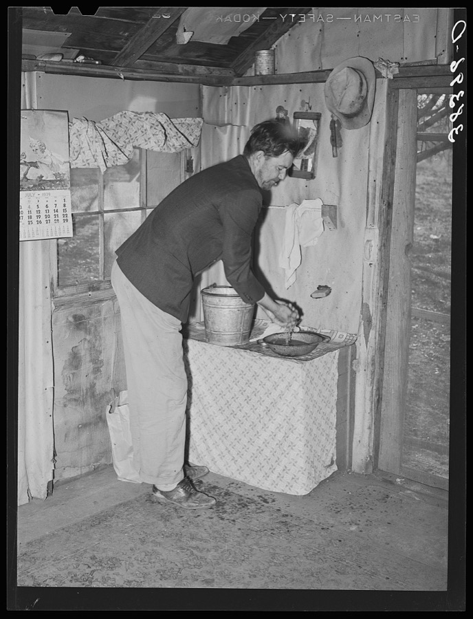
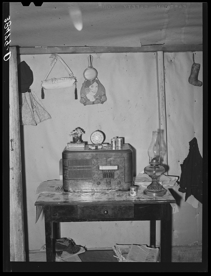
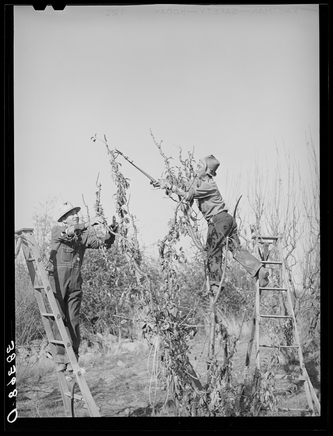
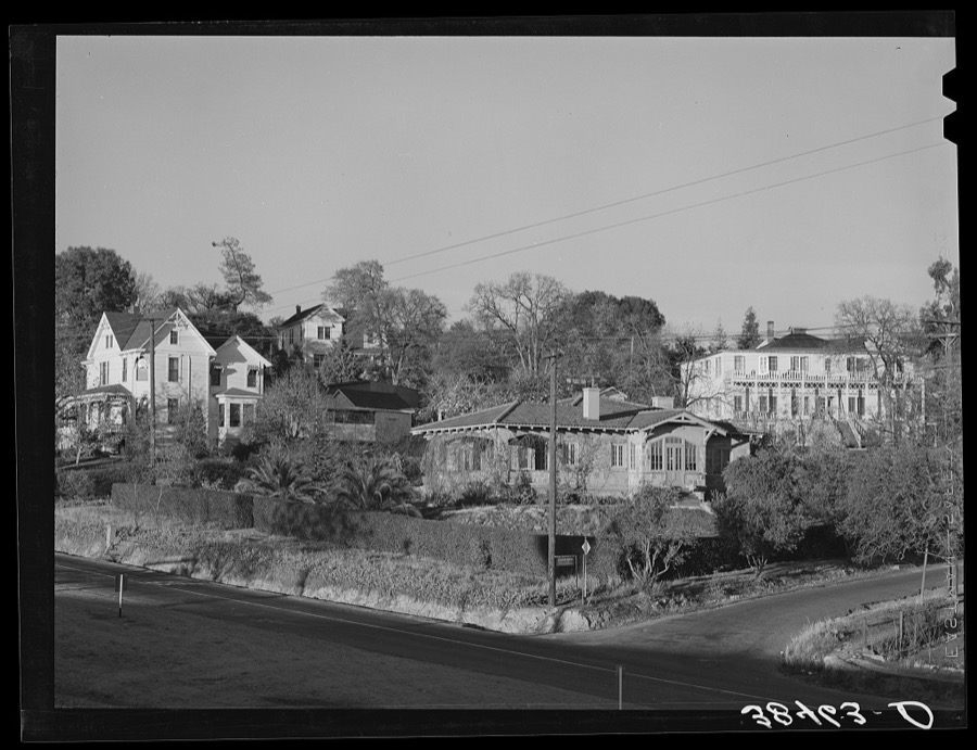
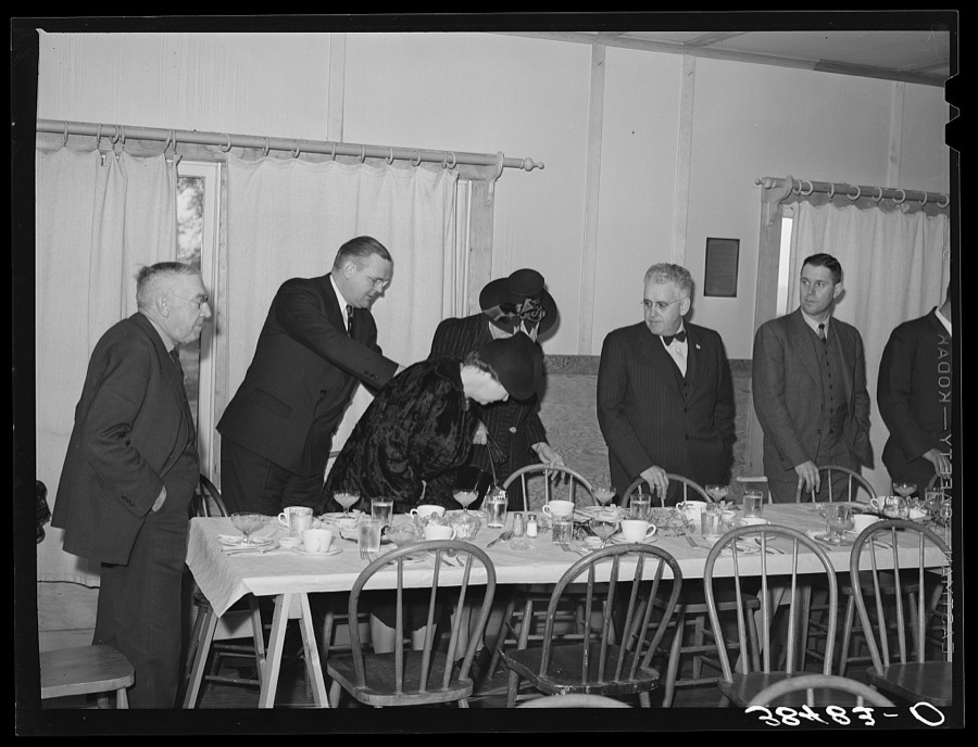
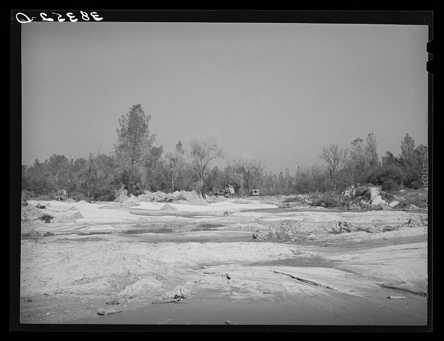
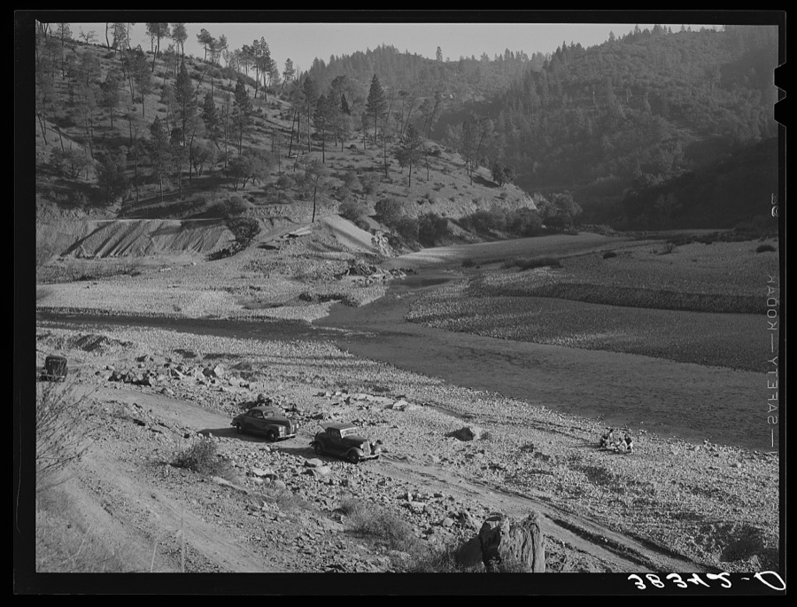
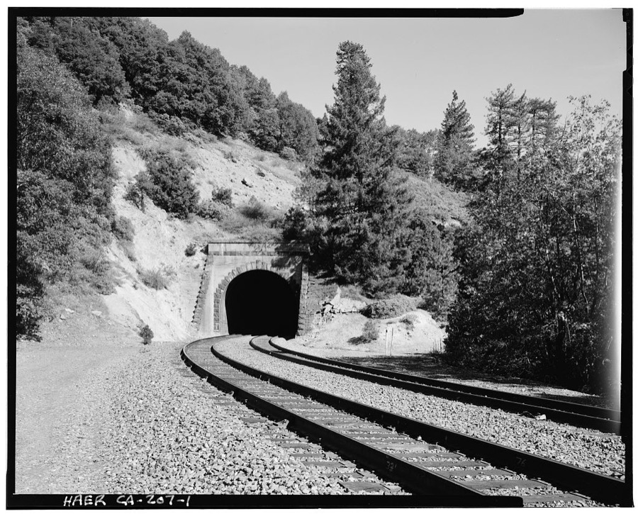
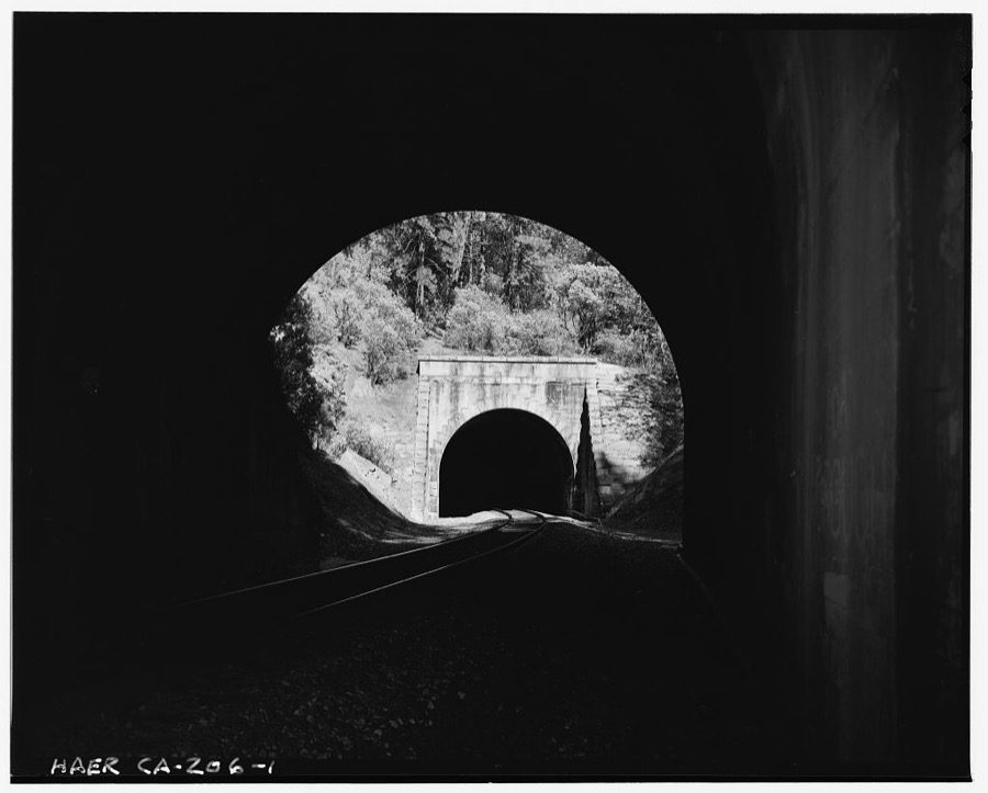
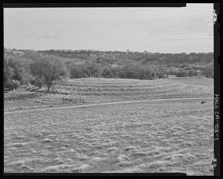
House of farmer from Oklahoma who has bought farm through the Federal Land Bank. Placer County, California. His son and daughter-in-law and their two children live in a better house on the same farm and they farm jointly Lee, Russell, 1940. Library of CongressPart of residential district. Auburn, California Lee, Russell, 1940. Library of CongressPruning fruit tree. Placer County, California Lee, Russell, 1940. Library of CongressOklahoma farmer and his wife who have moved to California. First they picked cotton as migrant workers, then rented a farm and have now bought the thirty-eight acre farm through the Federal Land Bank. Placer County, California Lee, Russell, 1940. Library of CongressOfficer and speaker at meeting of farmers with agricultural agent. Placer County, California Lee, Russell, 1940. Library of CongressOld Auburn, California Lee, Russell, 1940. Library of CongressFarmer meeting. Gold Hill, Placer County, California Lee, Russell, 1940. Library of CongressRefreshments at farmers' meeting. Gold Hill, California Lee, Russell, 1940. Library of CongressFarmer using sacking to bank irrigation ditch. Placer County, California. He is from Oklahoma Lee, Russell, 1940. Library of CongressPruning fruit tree. Placer County, California Lee, Russell, 1940. Library of CongressMeeting of farmers with agricultural agent. Placer County, California Lee, Russell, 1940. Library of CongressFarmer. Placer County, California Lee, Russell, 1940. Library of CongressFruit farmer in springhouse. Placer County, California. Notice the electric pump which makes possible running water in the house Lee, Russell, 1940. Library of CongressCorner of kitchen of "broke and in debt" fruit farmer. Placer County, California Lee, Russell, 1940. Library of CongressSign. Placer County, California Lee, Russell, 1940. Library of CongressTenant's house on fruit farm. Placer County, California Lee, Russell, 1940. Library of CongressMembers of the Loomis Fruit Association at their fortieth annual meeting. Loomis, Placer County, California Lee, Russell, 1940. Library of CongressPruning fruit trees. Placer County, California Lee, Russell, 1940. Library of CongressKitchen of moderately successful fruit farmer. Placer County, California. See caption for 38504D Lee, Russell, 1940. Library of CongressBuildings. New Castle, Placer County, California. As the incomes of fruit farmers in this neighborhood decline, the towns follow suit Lee, Russell, 1940. Library of CongressMembers of the Loomis Fruit Association cooperative at their fortieth annual meeting. Loomis, Placer County, California. Notice the Japanese. The Japanese are slowly moving into this section as are some migrants from Oklahoma Lee, Russell, 1940. Library of CongressMembers and their wives of the Loomis Fruit Association cooperative. Loomis, Placer County, California Lee, Russell, 1940. Library of CongressOfficers of Farm Bureau presiding at meeting at Gold Hill, California Lee, Russell, 1940. Library of CongressDetail of building. Auburn, California Lee, Russell, 1940. Library of CongressFarmers' wives at meeting. Gold Hill, Placer County, California Lee, Russell, 1940. Library of CongressFarmer from Oklahoma who has bought land in Placer County through Federal Land Bank. He is cleaning out an irrigation ditch. California Lee, Russell, 1940. Library of CongressGarden and orchard of Chinese farmer. Placer County, California Lee, Russell, 1940. Library of CongressFarmhouse. Placer County, California Lee, Russell, 1940. Library of CongressFruit packing sheds. New Castle, California Lee, Russell, 1940. Library of CongressTable. Dinner of the Loomis Fruit Association. Loomis, Placer County, California Lee, Russell, 1940. Library of CongressMembers of the Loomis Fruit Association at dinner after their fortieth annual meeting. Loomis, Placer County, California Lee, Russell, 1940. Library of CongressChinatown. New Castle, California Lee, Russell, 1940. Library of CongressFarmer washing his hands. Placer County, California. This man is from Oklahoma; he came to California first in '35, went back to Oklahoma in '39. Then returned to California. He and his family picked cotton around Bakersfield. He rented his farm in Placer County first and is now buying it. It has thirty-eight acres, twelve in plums and peaches Lee, Russell, 1940. Library of CongressInterior of Japanese farmer's house. Placer County, California Lee, Russell, 1940. Library of CongressPruning fruit trees. Placer County, California Lee, Russell, 1940. Library of CongressResidential district. Auburn, California Lee, Russell, 1940. Library of CongressMembers of the Loomis Fruit Association cooperative sitting down to dinner after their fortieth annual meeting. Loomis, California Lee, Russell, 1940. Library of CongressPlacer mining for gold. Placer County, California Lee, Russell, 1940. Library of CongressMountain stream. Placer County, California Lee, Russell, 1940. Library of CongressCentral Pacific Transcontinental Railroad, Tunnel No. 1, Milepost 164.34, Blue Canyon, Placer County, CA Photographer not recorded. Library of CongressCentral Pacific Transcontinental Railroad, Tunnel No. 34, Milepost 145.4, Colfax, Placer County, CA Photographer not recorded. Library of CongressSpring Valley Ranch, Citrus Grove Terraces, Near the intersection of Whitney Ranch Parkway and Pioneer Way, Lincoln, Placer County, CA Photographer not recorded. Library of Congress
Places on the National Register
35
Every property in this county listed on the
National Register of Historic Places, with the year it was listed and the
federal nomination document.
Drawn when these were printed as
single large sheets: the town seen from the air, and the county
divided into its farms with every owner named. Each opens the
original at the Library of Congress.
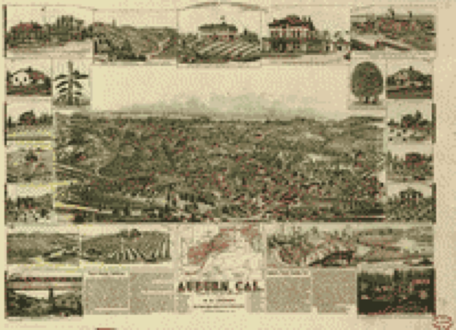
Bird's-eye view (1887) - Auburn, Cal. Library of Congress.
Photographs from libraries nationwide
4 of 23 shown
Selected from the Digital Public Library
of America's 23 image records catalogued for this county. Every
one shown here carries a public-domain status or a licence that permits
reuse on a site that carries advertising; non-commercial, share-alike
and restricted images are excluded. The selection is spread across the
county's towns (at most eight per town), so no single institution's
bulk upload crowds out the rest. Each opens the holding library's
record, and
the complete set at the
Digital Public Library of America is one click away.
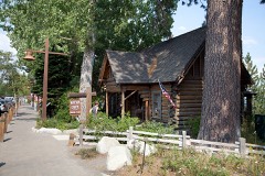
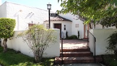
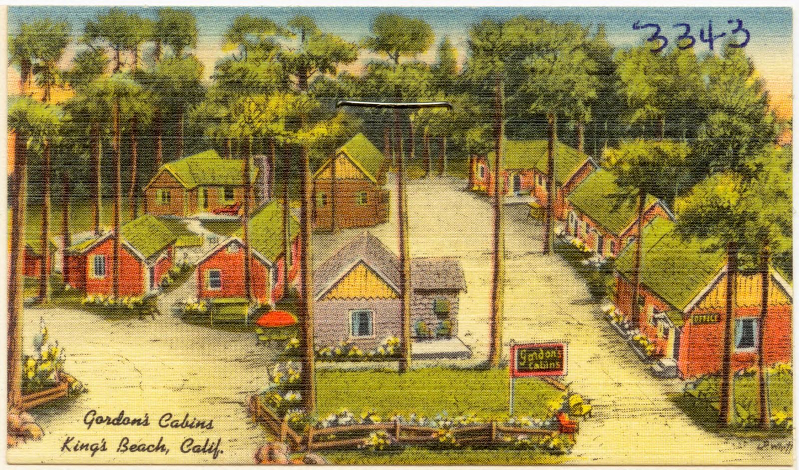
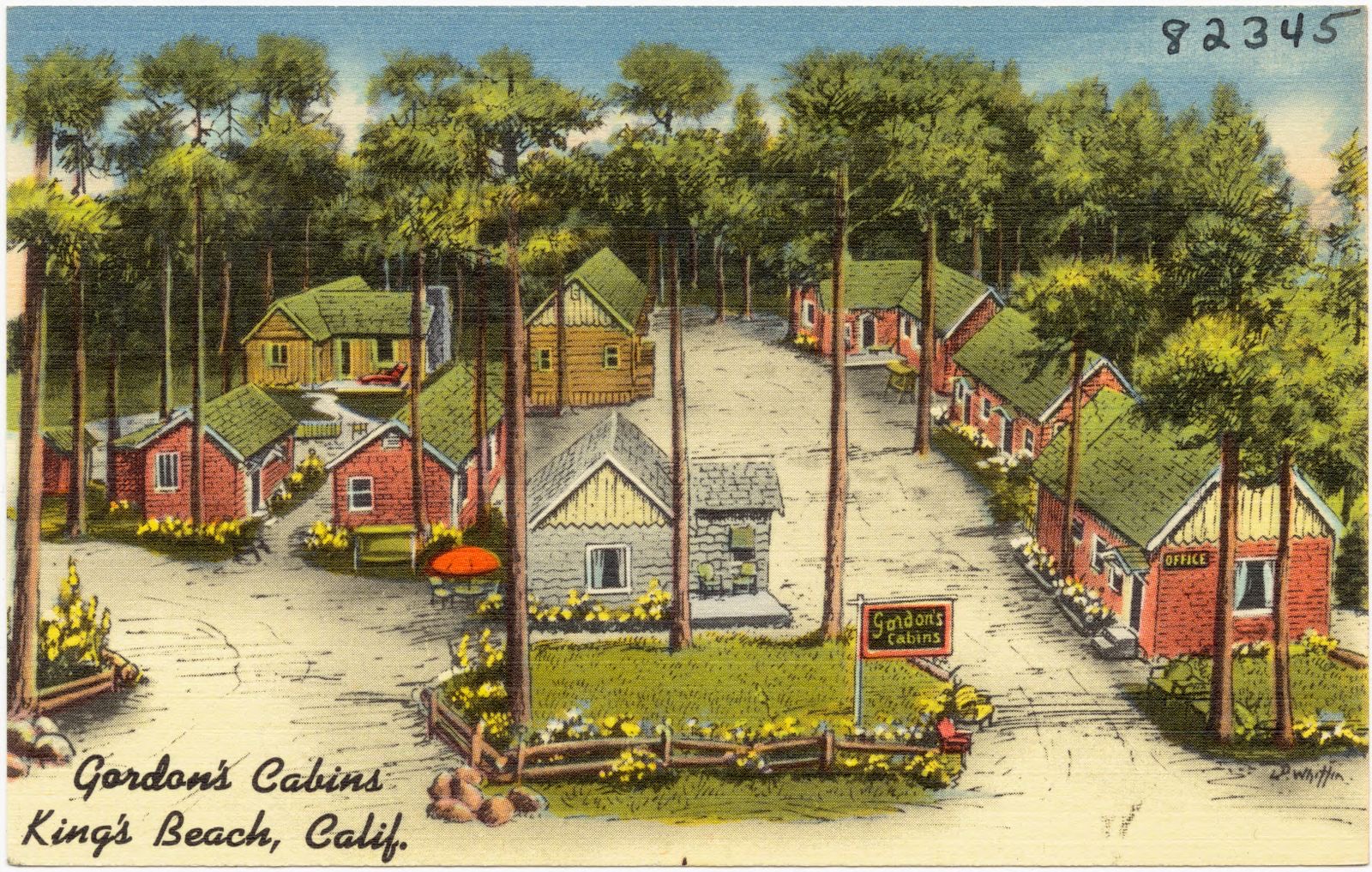
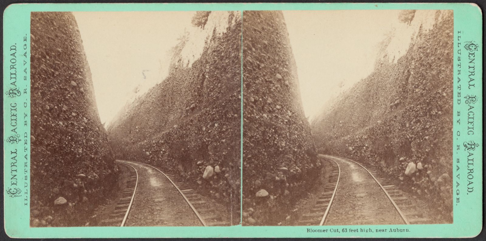
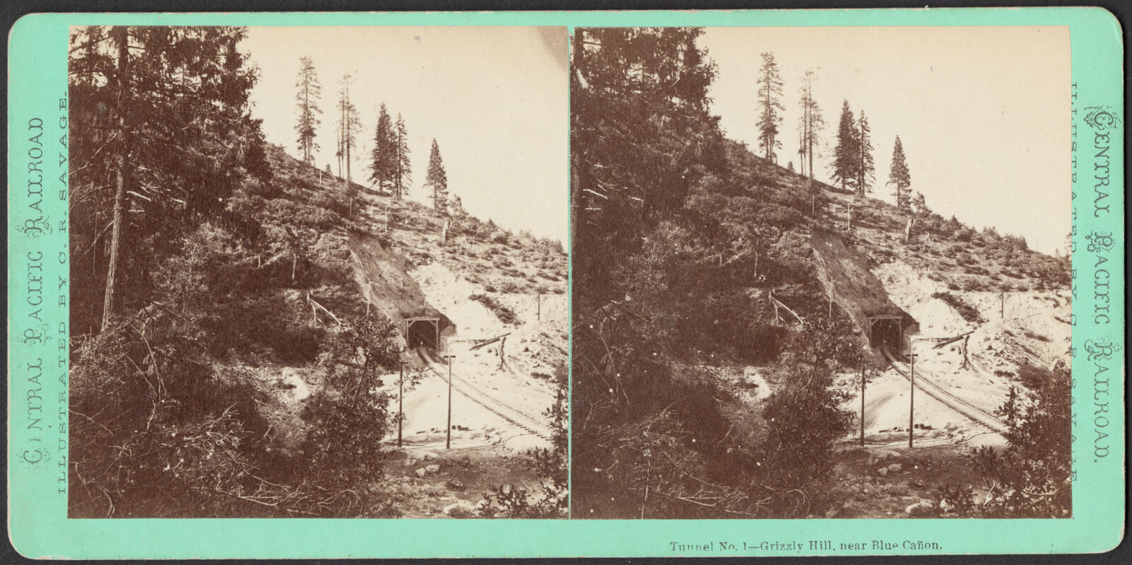
Gordon's Cabins, King's Beach, Calif.. Boston Public Library, via the Digital Public Library of America.Gordon's Cabins, King's Beach, Calif.. Boston Public Library, via the Digital Public Library of America.Bloomer Cut, 63 feet high, near Auburn. Savage, C. R. (Charles Roscoe), 1832-1909, Boston Public Library, via the Digital Public Library of America.Tunnel no. 1 - Grizzly Hill, near Blue Cañon. Savage, C. R. (Charles Roscoe), 1832-1909, Boston Public Library, via the Digital Public Library of America.
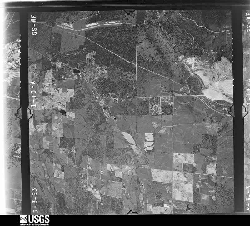
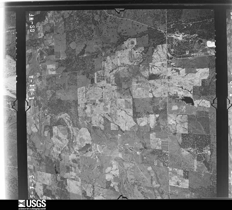
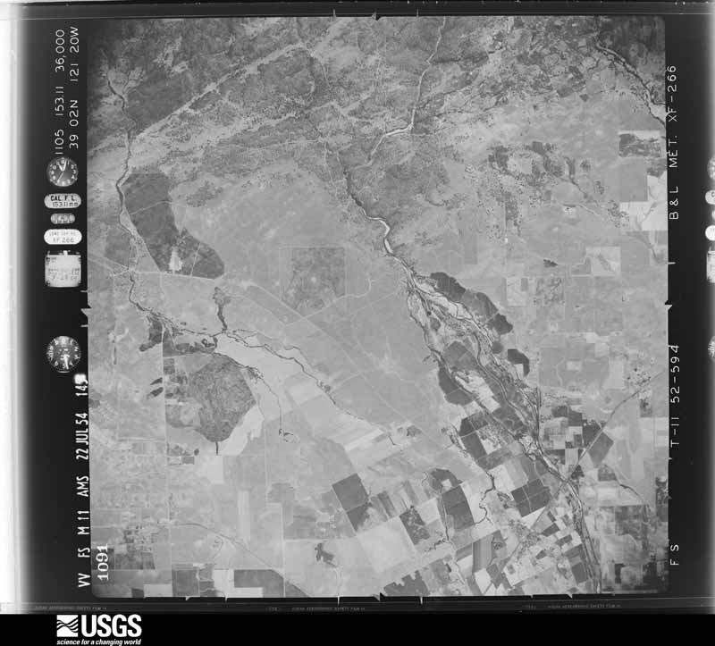
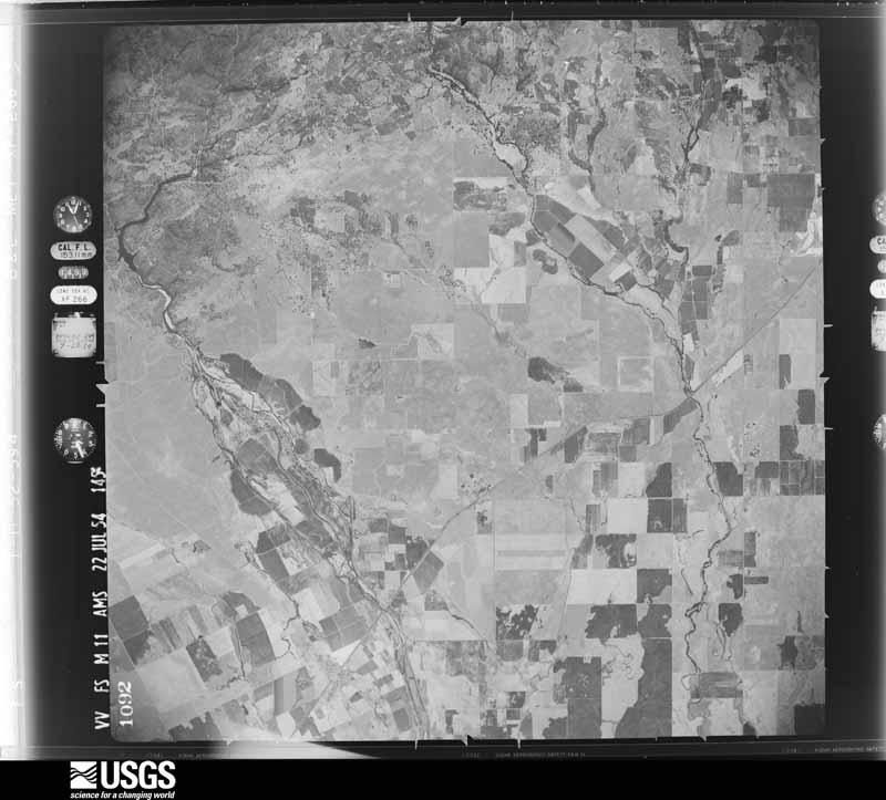
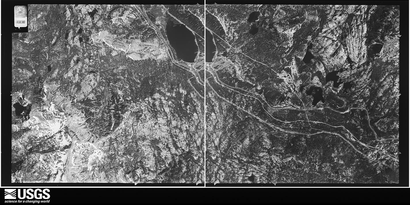
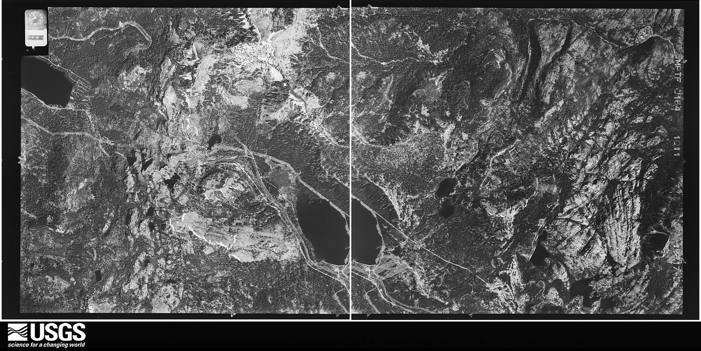
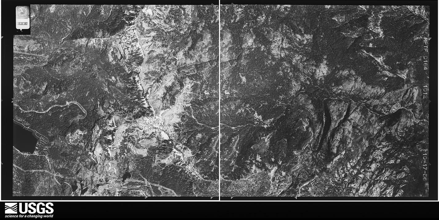
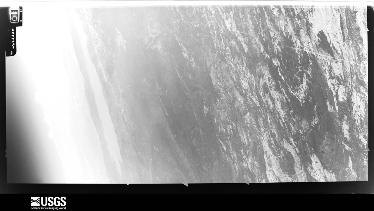
The county from the air
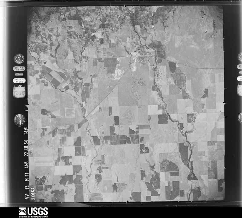
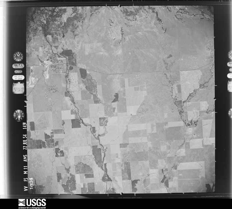
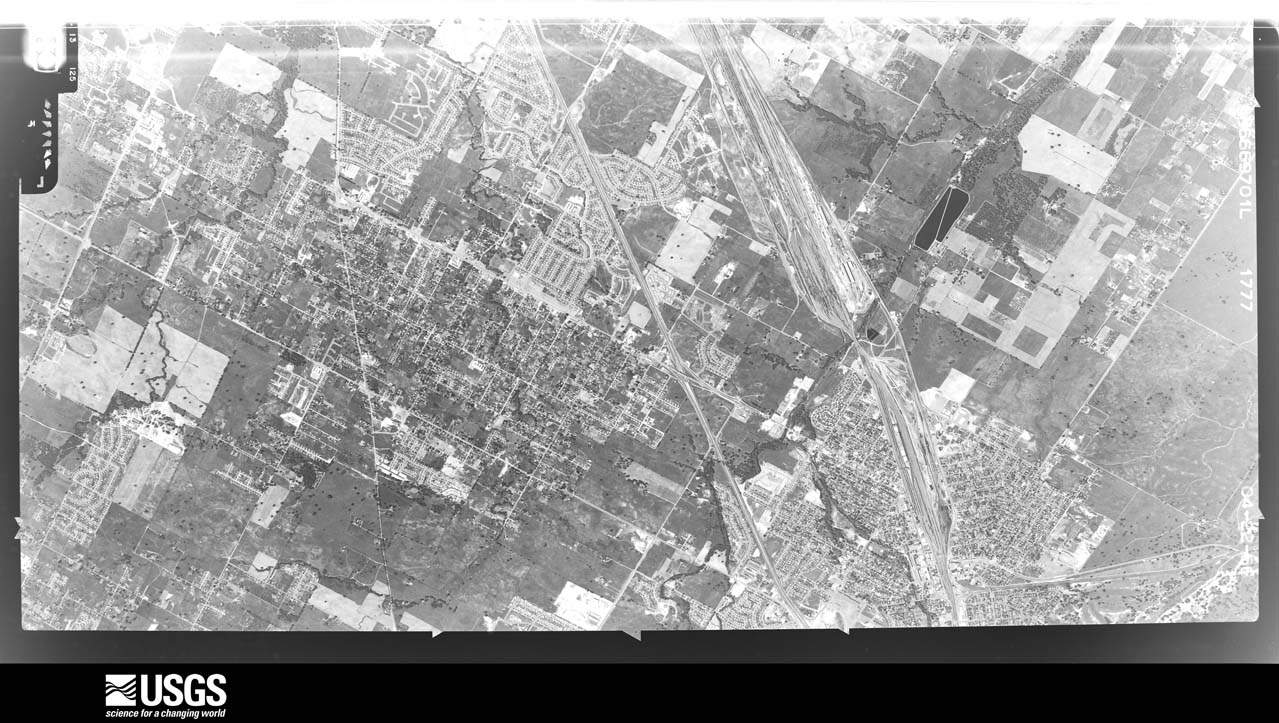
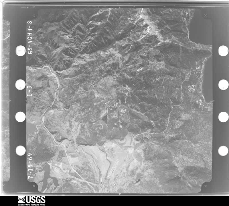
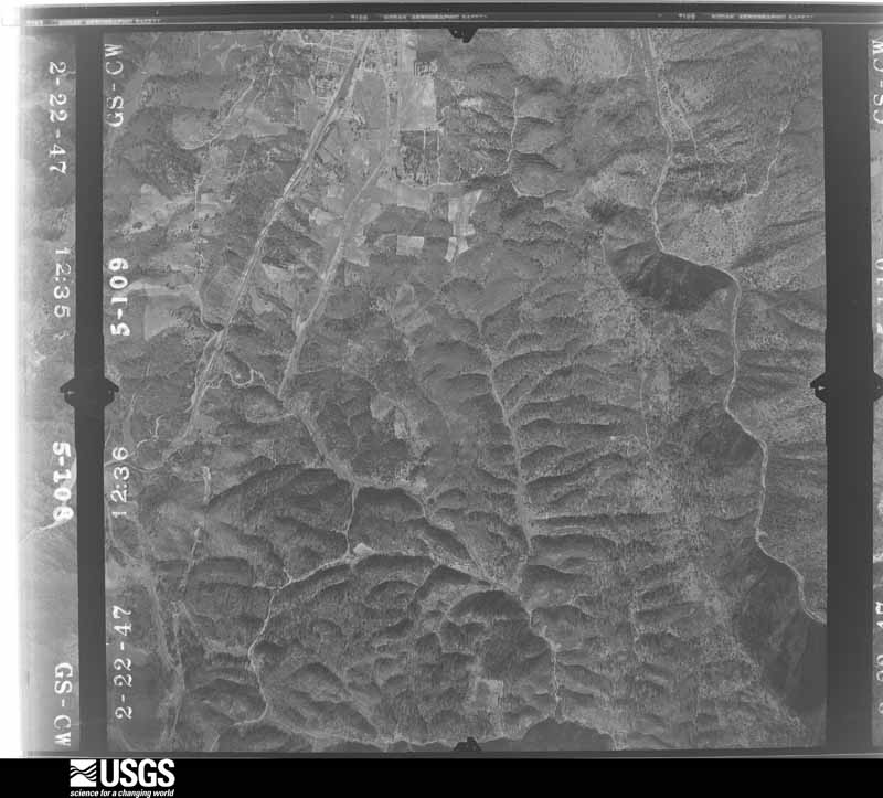
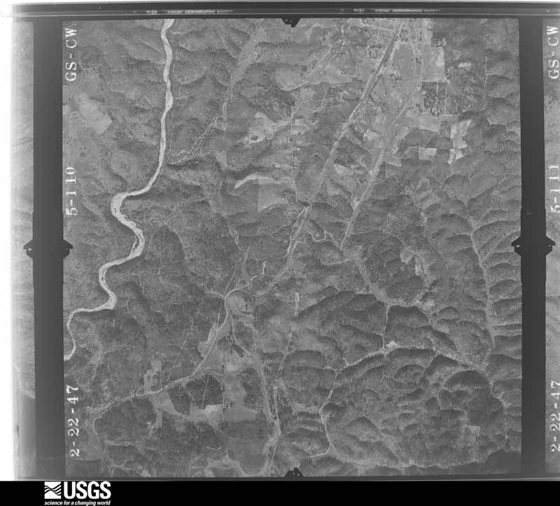
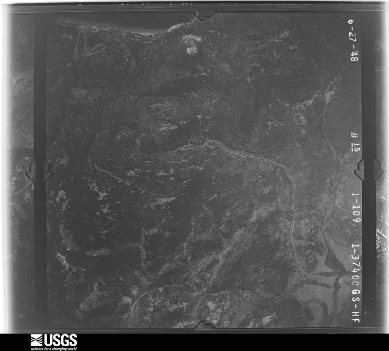
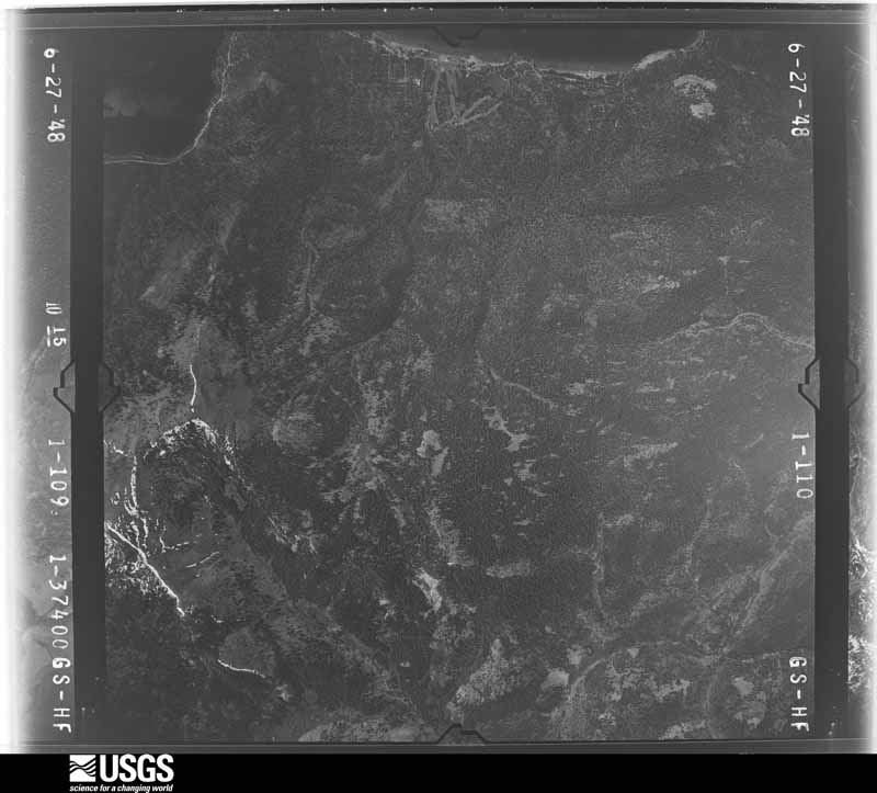
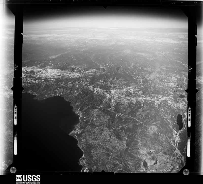
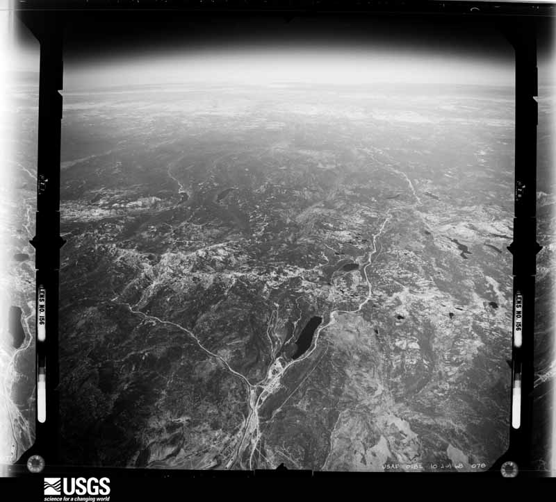
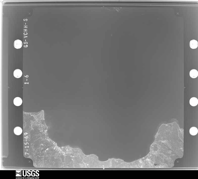
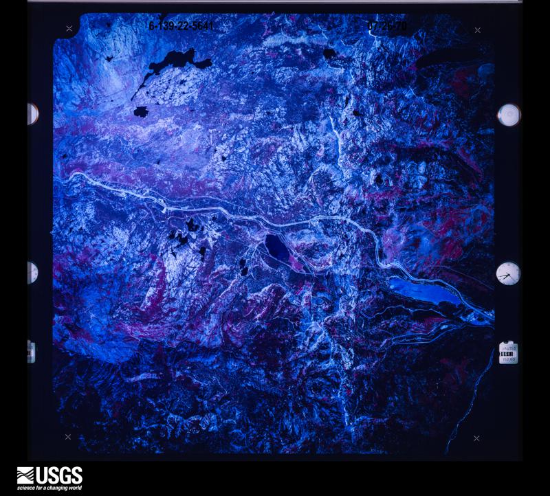
48 shown
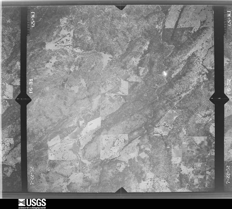
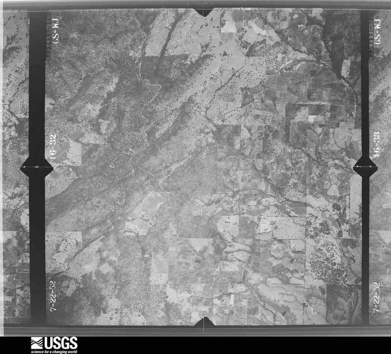
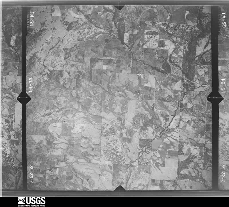
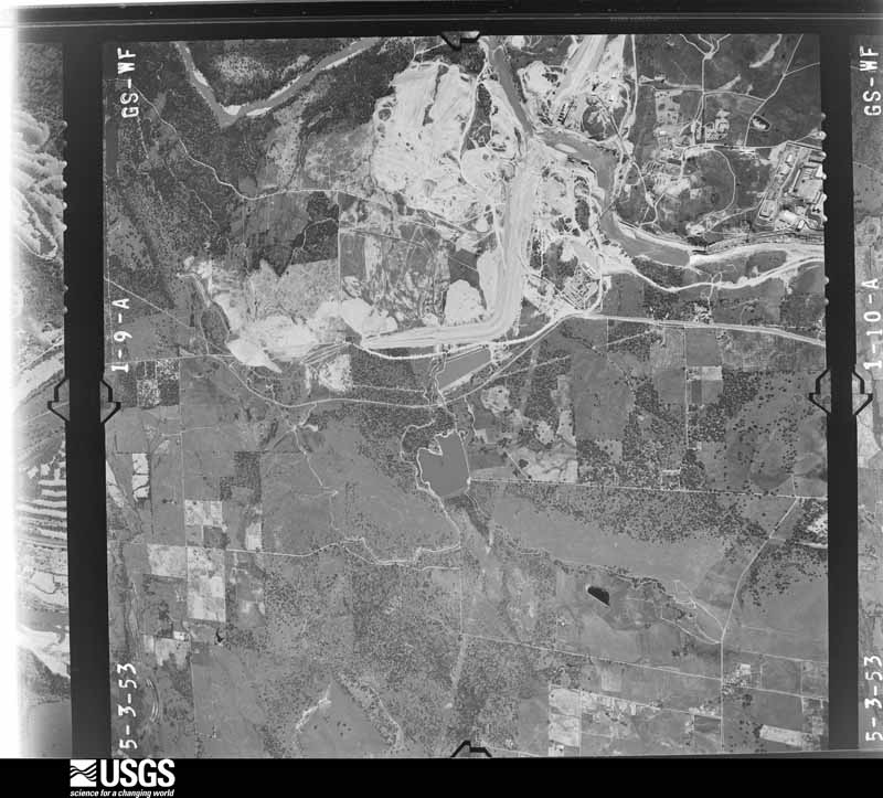
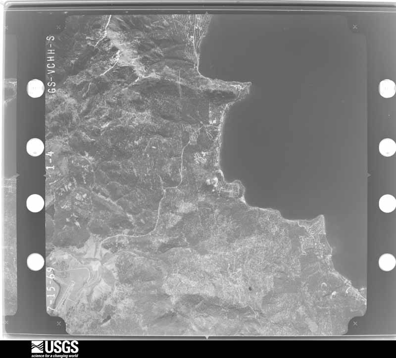
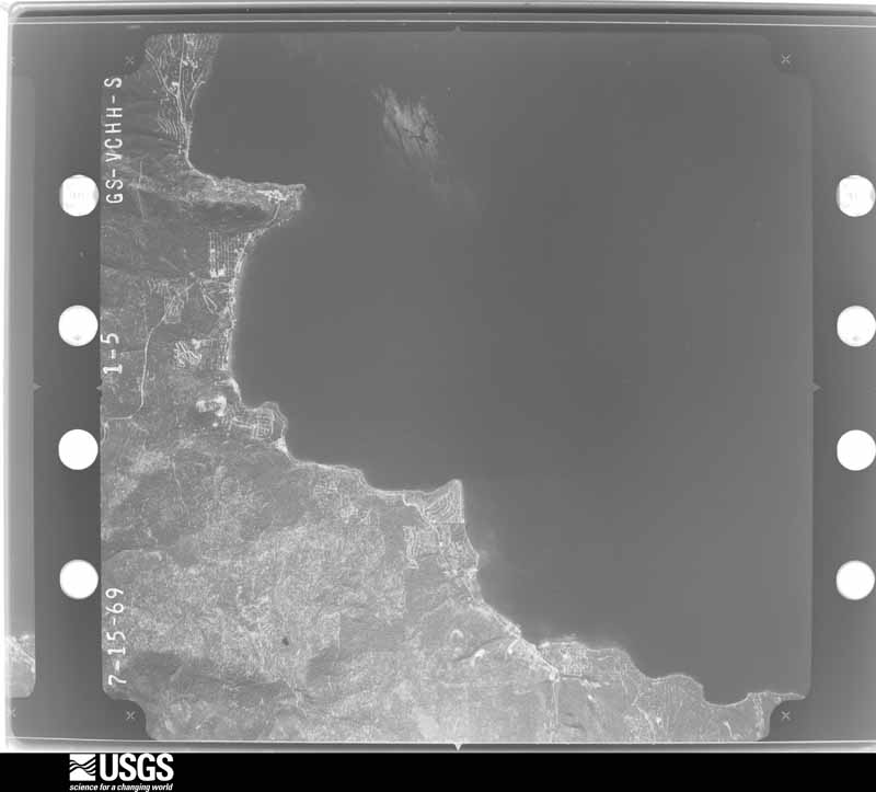
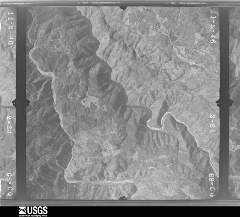
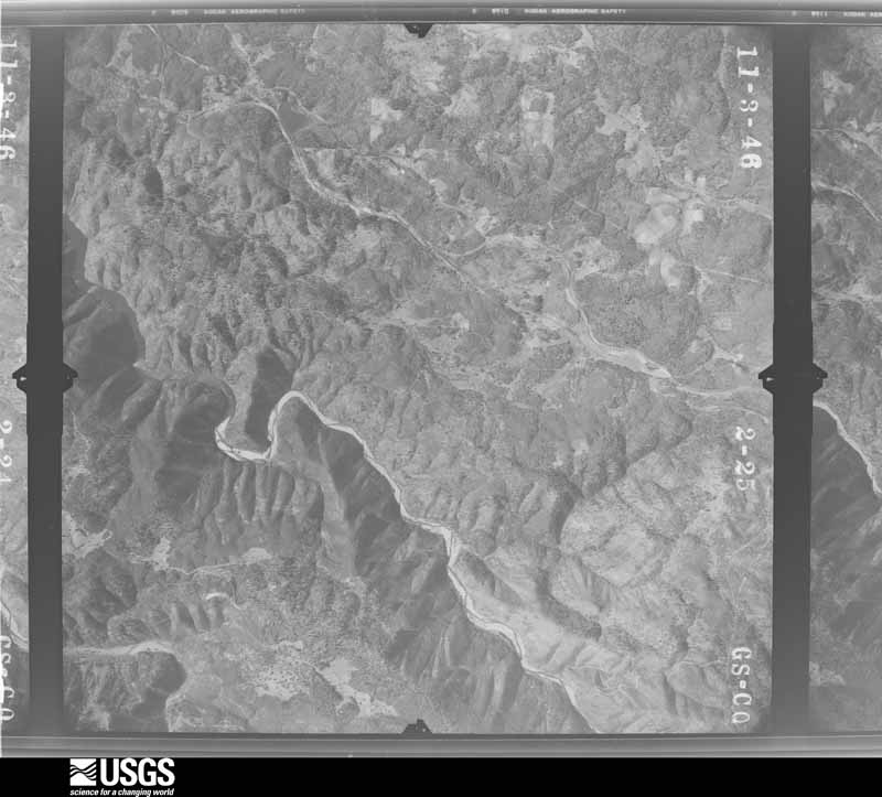
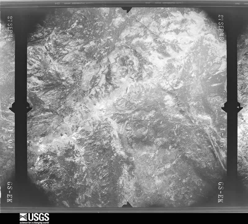
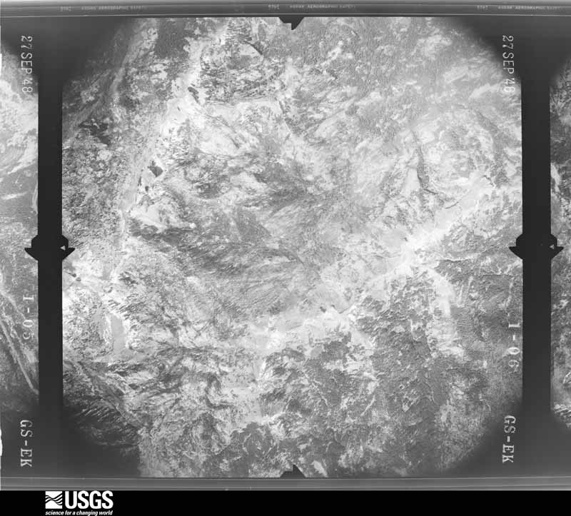
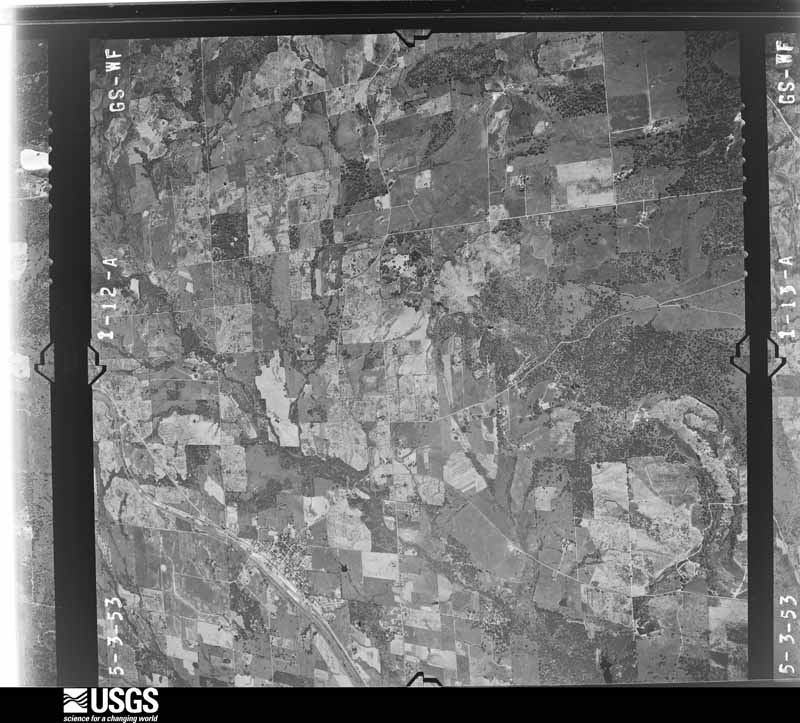
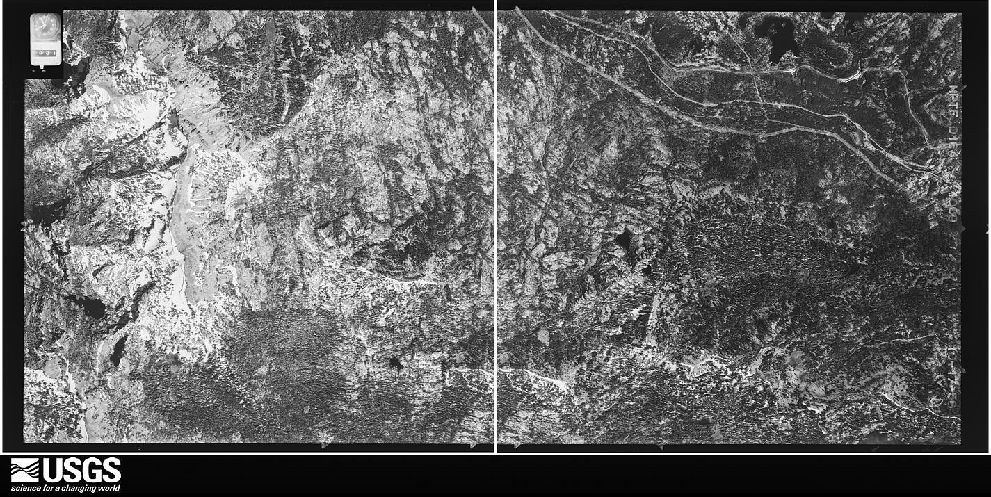
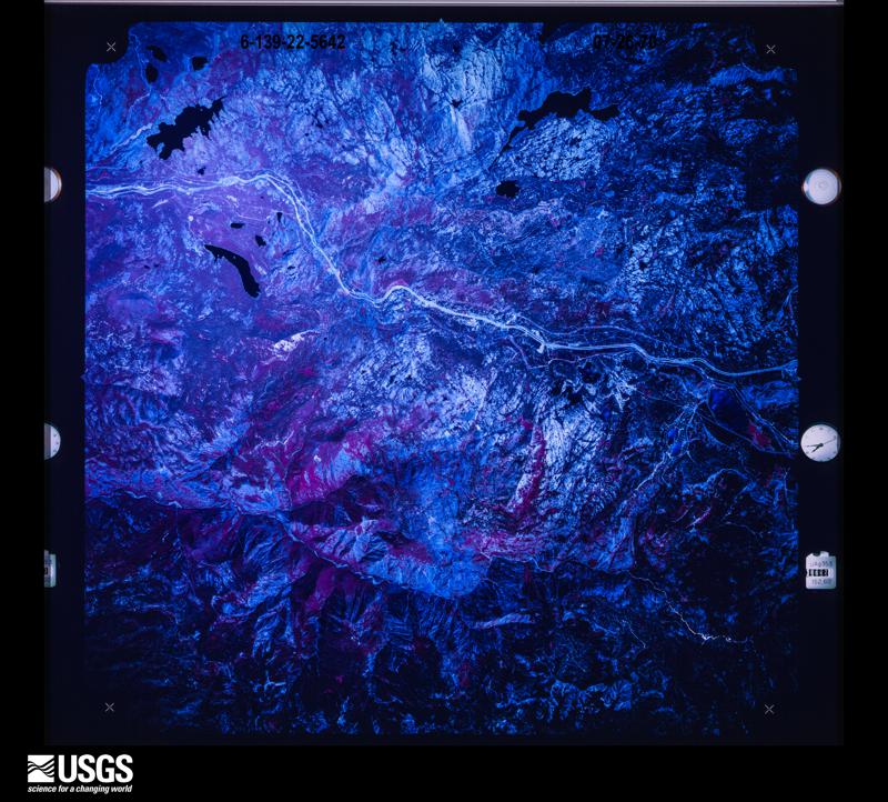
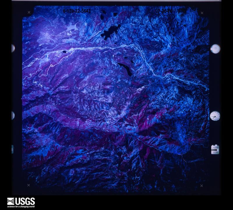
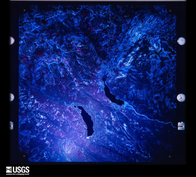
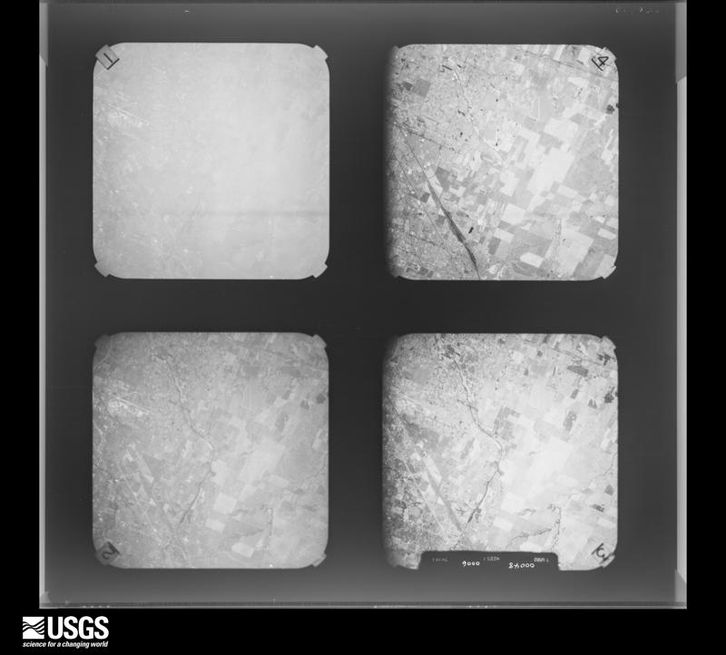
Flown by the U.S. Geological Survey
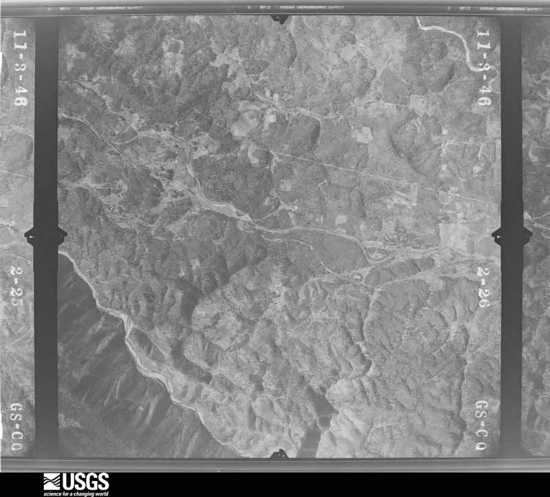
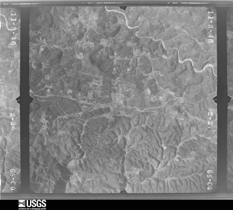
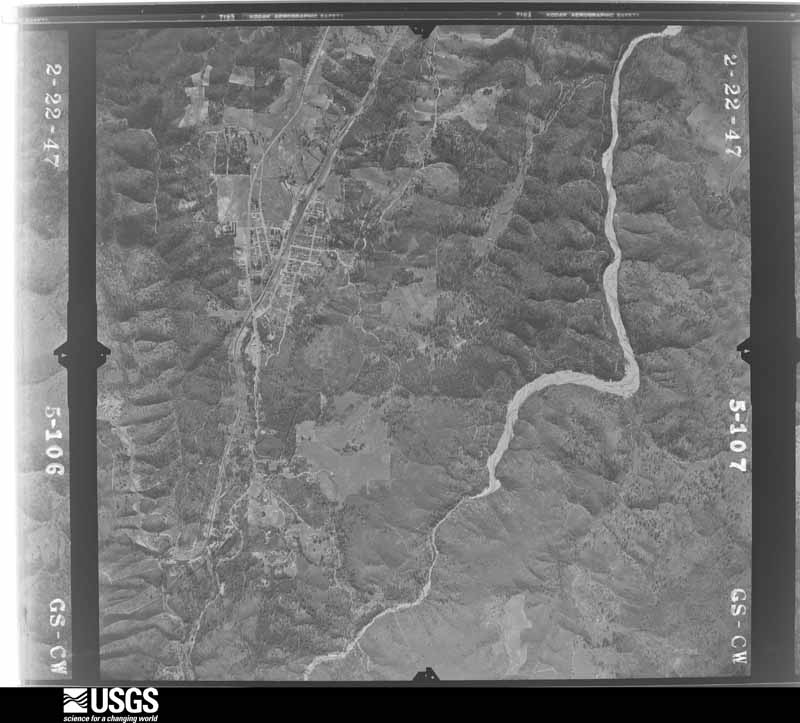
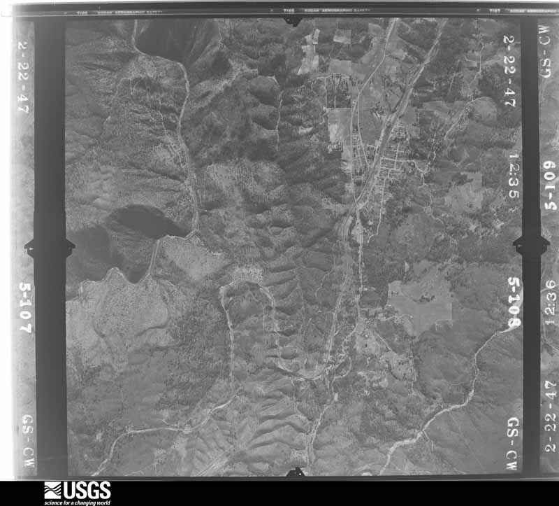
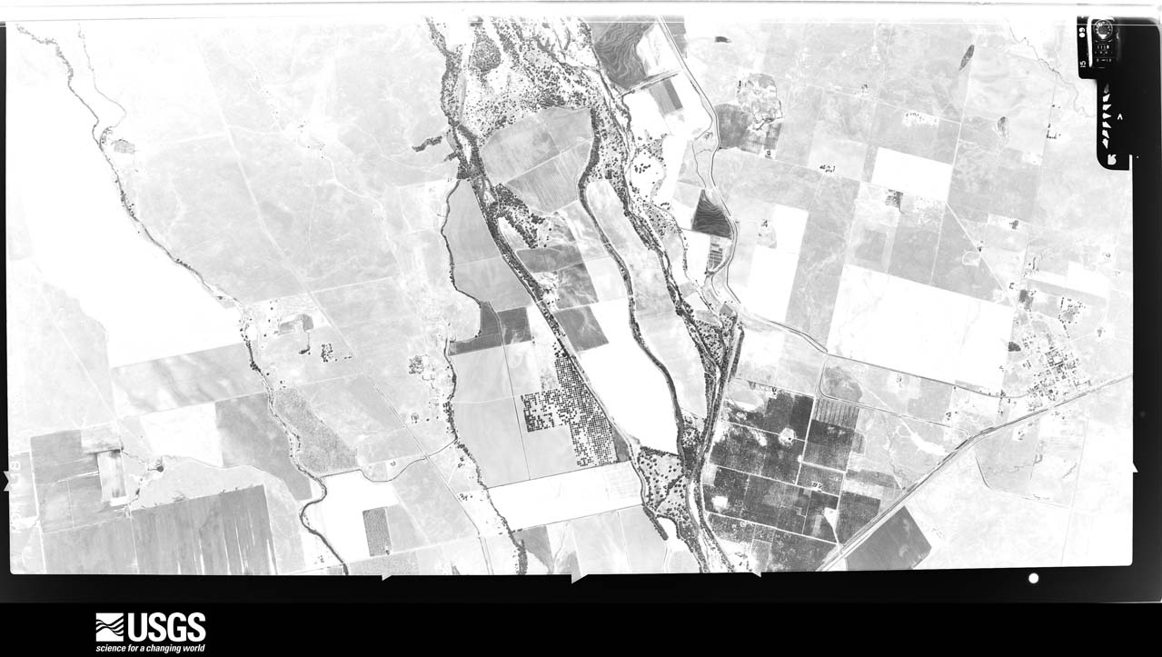
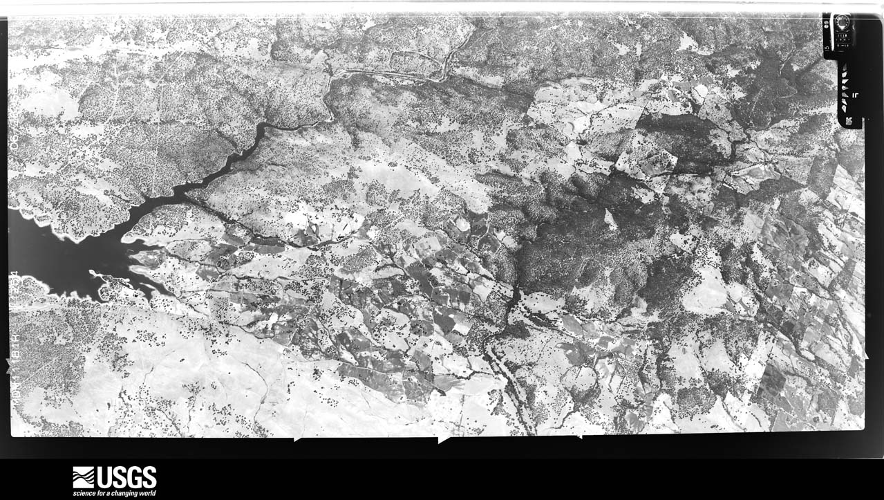
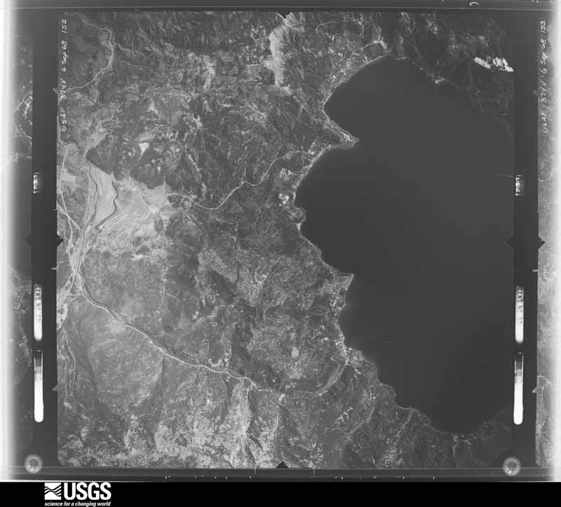
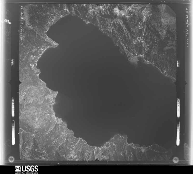
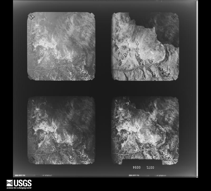
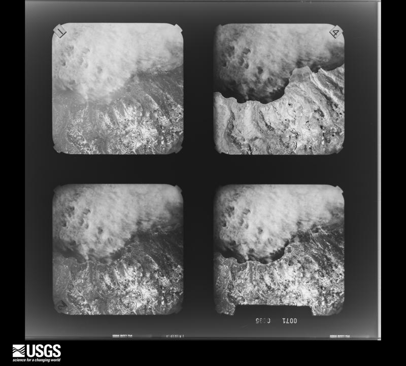
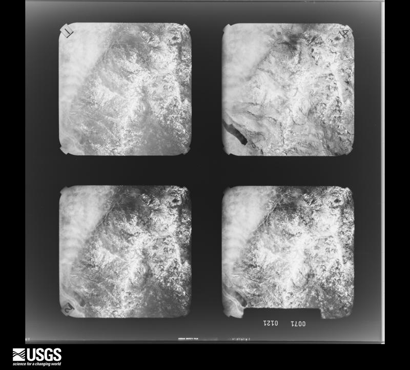
between 1937 and 1989, the Aerial Photo Single Frames collection is
the definitive mid-century view of the land: fields, roads and rivers
as the camera saw them. The Survey holds 6,039 frames inside the
rectangle that bounds this county; the 48 frames below were taken over
the county itself, chosen across the decades of flights (at most four
a year from that rectangle), so one flight cannot crowd out the rest.
The full set is free to browse and download at
EarthExplorer under the dataset Aerial Photo Single
Frames.
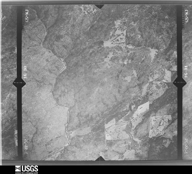
1952-07-15, scale 1:23600. U.S. Geological Survey aerial photograph.1952-07-15, scale 1:23600. U.S. Geological Survey aerial photograph.1952-07-15, scale 1:23600. U.S. Geological Survey aerial photograph.1952-07-15, scale 1:23600. U.S. Geological Survey aerial photograph.1953-06-01, scale 1:25000. U.S. Geological Survey aerial photograph.1953-06-01, scale 1:25000. U.S. Geological Survey aerial photograph.1953-06-01, scale 1:25000. U.S. Geological Survey aerial photograph.1954-07-22, scale 1:63000. U.S. Geological Survey aerial photograph.1954-07-22, scale 1:63000. U.S. Geological Survey aerial photograph.1954-07-22, scale 1:63000. U.S. Geological Survey aerial photograph.1954-07-22, scale 1:63000. U.S. Geological Survey aerial photograph.1966-04-22, scale 1:21660. U.S. Geological Survey aerial photograph.1969-07-15, scale 1:80000. U.S. Geological Survey aerial photograph.1969-07-15, scale 1:80000. U.S. Geological Survey aerial photograph.1969-07-15, scale 1:80000. U.S. Geological Survey aerial photograph.1946-11-27, scale 1:37400. U.S. Geological Survey aerial photograph.1946-11-27, scale 1:37400. U.S. Geological Survey aerial photograph.1946-11-27, scale 1:37400. U.S. Geological Survey aerial photograph.1946-11-27, scale 1:37400. U.S. Geological Survey aerial photograph.1947-02-01, scale 1:28400. U.S. Geological Survey aerial photograph.1947-02-01, scale 1:28400. U.S. Geological Survey aerial photograph.1947-02-01, scale 1:28400. U.S. Geological Survey aerial photograph.1947-02-01, scale 1:28400. U.S. Geological Survey aerial photograph.1948-06-01, scale 1:37400. U.S. Geological Survey aerial photograph.1948-06-01, scale 1:37400. U.S. Geological Survey aerial photograph.1948-10-21, scale 1:43200. U.S. Geological Survey aerial photograph.1948-10-21, scale 1:43200. U.S. Geological Survey aerial photograph.1953-06-01, scale 1:25000. U.S. Geological Survey aerial photograph.1956-10-17, scale 1:32500. U.S. Geological Survey aerial photograph.1956-10-17, scale 1:32500. U.S. Geological Survey aerial photograph.1956-10-17, scale 1:32500. U.S. Geological Survey aerial photograph.1956-10-17, scale 1:32500. U.S. Geological Survey aerial photograph.1966-06-17, scale 1:21670. U.S. Geological Survey aerial photograph.1966-06-28, scale 1:21670. U.S. Geological Survey aerial photograph.1966-06-28, scale 1:21670. U.S. Geological Survey aerial photograph.1968-06-01, scale 1:142000. U.S. Geological Survey aerial photograph.1968-06-01, scale 1:142000. U.S. Geological Survey aerial photograph.1968-07-01, scale 1:122000. U.S. Geological Survey aerial photograph.1968-07-01, scale 1:122000. U.S. Geological Survey aerial photograph.1969-07-15, scale 1:80000. U.S. Geological Survey aerial photograph.1970-07-26, scale 1:122562. U.S. Geological Survey aerial photograph.1970-07-26, scale 1:122562. U.S. Geological Survey aerial photograph.1970-07-26, scale 1:123405. U.S. Geological Survey aerial photograph.1970-07-26, scale 1:114333. U.S. Geological Survey aerial photograph.1971-10-07, scale 1:194000. U.S. Geological Survey aerial photograph.1971-10-22, scale 1:170000. U.S. Geological Survey aerial photograph.1971-10-22, scale 1:171000. U.S. Geological Survey aerial photograph.1971-10-22, scale 1:179000. U.S. Geological Survey aerial photograph.
Weather records
54 stations, 71 gages
The thermometers that kept this county's weather, and the gages that measured the flow of its streams, as the federal records hold them. The extremes below are measured values from those records, not estimates.
IOWA HILL1893 to 2007, hottest 41.7 C, coldest -8.9 C
TAHOE CITY1903 to 2026, hottest 34.4 C, coldest -26.7 C
ROCKLIN1904 to 1976, hottest 47.8 C, coldest -10.0 C
AUBURN1905 to 2026, hottest 45.0 C, coldest -24.4 C
COLFAX1905 to 2026, hottest 45.0 C, coldest -15.6 C
GOLD RUN 4 SW1905 to 2026, hottest 39.4 C, coldest -11.1 C
FORESTHILL RS1937 to 2025, hottest 23.3 C, coldest 7.2 C
Who lived here in 1950, one enumeration
district at a time, as the Census Bureau described each district.
Each row opens its official National Archives result, with Population
Schedules and ED Maps available there.
31-1Judicial Township 1: Roseville city: Roseville city - That part Bounded by City limits; City limits; Southern Pacific Railroad; Yosemite extended, Yosemite, Shasta, Shasta extended
31-2Roseville city - That part Bounded by City limits; Shasta extended, Shasta, Yosemite, Yosemite extended; Southern Pacific Railroad; Southern Pacific Railroad
31-3Roseville city - That part Bounded by City limits; Southern Pacific Railroad, Lincoln extended, Lincoln; Pleasant, Pleasant extended; City limits
31-4Roseville city - That part Bounded by Pleasant extended, Pleasant; Alta Ave.; Main; City limits
31-5Roseville city - That part Bounded by Pleasant, Lincoln, Lincoln extended; Southern Pacific Railroad; Southern Pacific Railroad; City limits, Grant, Main, Alta Ave.
31-6Roseville city - That part Bounded by Southern Pacific Railroad; City limits; City limits; Folsom Rd., Vernon, Lincoln
31-7Seal Beach Judicial Township - That part Bounded by Cerritos Ave.; Touch Plate - Industry Fence, Reagan, Catalina, Cherry, Katella Ave., Lexington Dr.; Farquehar Ave.; Los Alamitos Blvd., Katella Ave., Walnut, Florista, Chestnut, Southern Pacific Railroad (abandoned), Los Alamitos Blvd.
31-8Roseville city - That part Bounded by Southern Pacific Railroad; Lincoln, Sutter Ave., South Lincoln, Douglas, City limits; City limits; City limits, Channel of Dry Creek, Grant extended, Gront, City limits
31-9Roseville city - That part Bounded by Grant, Grant extended; Channel of Dry Creek, City limits; Bonita Ave.; Riverside Ave., City limits
31-10Roseville city - That part Bounded by City limits, Main; Grant; City limits, Church, Duranta, West Duranta; City limits
31-11Roseville city - That part Bounded by West Duranta, Duranta, Church; City limits; City limits; City limits
31-12Roseville city - That part Bounded by City limits; Riverside Ave.; City limits
31-13Roseville city - That part Bounded by Bonita Ave.; City limits; City limits; Riverside Ave.
31-14Judicial Township 1 - That part east of U.S. 40, outside Roseville city
31-15Judicial Township 1 - That part west of U.S. 40, outside hoseville city
31-16Judicial Township 3: Auburn city: Auburn city - That part Bounded by City limits; City limits; El Dorado (State 65); Central Pacific Railroad
31-17Auburn city - That part Bounded by City limits; Central Pacific Railroad; Lincoln Way, High, Lincoln Way; Pine, Walsh, U.S. Hwy. 40, Elm Ave., East, Palm Ave., State Hwy. 49
31-18Auburn city - That part Bounded by City limits; State 49, Palm Ave., East, Elm Ave., U.S. Hwy. 40, Walsh, Pine; Lincoln Way, U.S. 40; City limits
31-19Auburn city - That part Bounded by U.S. Hwy. 40, Lincoln Way; College Lane, High, Agard; Central Pacific Railroad, City limits; City limits
31-20Auburn city - That part Bounded by Lincoln Way, High, Lincoln Way; Central Pacific Railroad; Agard, High, College Lane
31-21Auburn city - That part Bounded by El Dorado(State Hwy. 65); City limits; City limits; Central Pacific Railroad
31-22Judicial Township 3 - That part east and south of U.S. Hwy. 40 outside Auburn city
31-23Judicial Township 3 - That part west of U.S. Hwy. 40 and east of State Hwy. 49, outside Auburn city
31-24Judicial Township 3 - That part west of State Hwy. 49 and north of U.S. Hwy. 40, outside Auburn city, excluding De Witt State Hospital
31-25De Witt State Hospital (In Judicial Township 3)
31-28Judicial Township 9: Rocklin city: Rocklin city - That part Bounded by City limits; City limits, U.S. Hwy. 40, Pacific, Cedar, Railroad Ave., City limits; City limits; City limits
31-29Rocklin city - That part Bounded by Cedar, Pacific, U.S. Hwy. 40; City limits; City limits; City limits, Railroad Ave.
31-30Judicial Township 9 - That part east of Secret Creek
31-31Judicial Township 9 - That part west of Secret Creek, outside Rocklin city, including county area surrounded by Rocklin city and extending southwest from Bush St.
31-32Judicial Township 10: Lincoln city: Lincoln city - That part Bounded by City limits; City limits; East 5th, East Ave., 5th; G, City limits
31-33Lincoln city - That part Bounded by G, 5th, L; 1st; City limits
31-34Lincoln city - That part Bounded by 5th, East Ave., East 5th; City limits; City limits; City limits, 1st, L
31-35Judicial Township 10 - That part outside Lincoln city
31-42Judicial Township 13 - That part east of U.S. Hwy. 40, outside Colfax city
31-43Judicial Township 13 - That part west of U.S. Hwy. 40, outside Colfax city, excluding Weimer Joint Sanitarium; Show separately Colfax Indian Rancheria
31-44Weimer Joint Sanitarium (In Judicial Township 13)
31-45Judicial Township 14: Judicial Township 14 - That part east of Range line R. 7E., and north of Auburn Ravine
31-46Judicial Township 14 - That part west of Range line R. 7E. and north of Auburn Ravine
31-47Judicial Township 14 - That part south of Auburn Ravine, northwest of U.S. Hwy. 40
31-48Judicial Township 14 - That part southeast of U.S. Hwy. 40
Wildfire,
1992 to 2020
6,341 fires
Every wildfire the federal occurrence
database records inside this county: 6,341 of them, burning
about 114,928 acres. 491 started naturally and 375 were recorded as arson. Each settlement page carries the fires within
five miles of it.
Reported cause
Fires
Missing data/not specified/undetermined
2454
Equipment and vehicle use
1381
Debris and open burning
656
Natural
491
Recreation and ceremony
393
Arson/incendiarism
375
Smoking
227
Misuse of fire by a minor
191
Power generation/transmission/distribution
92
Railroad operations and maintenance
59
Other causes
9
Fireworks
7
Firearms and explosives use
6
The five largest, by the area the report
gives. One of them was set deliberately.
Date
Cause
Size
Reported by
Name on the report
10 August 2013
Missing data/not specified/undetermined
27,440 acres
Tahoe National Forest
AMERICAN
25 August 2001
Missing data/not specified/undetermined
16,761 acres
Eldorado National Forest
STAR
22 June 2008
Natural
10,836 acres
Tahoe National Forest
WESTVILLE
21 June 2008
Natural
9,164 acres
Tahoe National Forest
GOVERNMENT
5 September 2006
Missing data/not specified/undetermined
8,422 acres
Tahoe National Forest
RALSTON
6 August 2004
Arson/incendiarism
5,000 acres
Central California District
MINERAL
8 October 2014
Missing data/not specified/undetermined
3,213 acres
Nevada-Yuba-Placer Unit
APPLEGATE
27 August 2001
Equipment and vehicle use
2,688 acres
Central California District
PONDEROSA
Every settlement page carries the fires within five
miles of it - see the settlement index below.
Storms,
1957 to 2026
60 of 168 shown
The
NOAA Storm Events Database holds
168 reports for this county, causing 6 deaths, no injuries and about $8,632,530 in recorded property damage.
Each settlement page carries the reports that name it.
Kind of event
Reports
Heavy Rain
74
Flood
51
Hail
12
Flash Flood
12
Tornado
6
Thunderstorm Wind
5
Debris Flow
4
Funnel Cloud
2
Waterspout
1
Lightning
1
The most serious of them, by death, then
injury, then recorded damage. The accounts are quoted exactly as the
forecast office filed them.
Placer County Sheriff reported a group of three men went to fish in the North American River, north of Folsom Lake on November 23rd. Two of the men, both 20 years old, got into the water. One of them was swept away by the strong currents and the second man tried to help but was also pulled into the current. The recovery operation was extremely technical and in a portion of the river with rapids and strong current due to the storm. Both 20 year old men drowned and their bodies were recovered downstream on November 25th.
There were numerous reports of roadway flooding and rises on small creeks and streams in the area due to heavy rain. A hiker went missing on January 2nd around 2:00 PM. Search and research operations from Placer County to help find the missing individual where underway through the weekend. The hiker's body was recovered Monday afternoon.
California Highway Patrol and Placer County OES reported a fatality of a driver that drove through standing water on a flooded road, lost control, and flipped the vehicle, coming to a rest in standing water on Nicolaus Road near Marcum Road.
The bridge on Morton Rd. was washed out by flooding from Canyon Creek. This road is located next to the I80 exit in Alta. The incident isolated 15 homes. An alternative temporary access was established, traversing a steep, windy gravel road over private property. |The Placer County Board of Supervisors approved two measures giving both short- and long-term assistance to the isolated community. A new temporary bridge, and then a permanent bridge will be constructed on the site. The estimated cost is $3 million dollars for the bridge construction. The total cost was estimated by the county to be $5 million.
Localized flooding was reported across eastern Placer County, especially on Blackwood and Ward Creeks, and the Truckee River. Blackwood Creek rose to its second highest level in the last 45 years.
A lightning strike resulted in a mobile home fire around 6:15 pm PDT on Nob Hill Drive in the Castle City Mobile Home Park. The mobile home was destroyed. There were no injuries.
The CHP reported a truck accident on Interstate 80 near Blue Canyon that they thought was due to heavy rain and hail. The truck rain into a guard rail and overturned. The public reported nickel size hail from a location 1 mile northeast of Blue Canyon, by Putt Lake.
A mobile home in Newcastle had the outer roof and carport ripped off around 2:13 pm PST, with little other damage to neighboring home except for some tree branches. The damage was determined to due to straight line winds from a microburst.
A CO-OP Observer station (TAHC1) located at Tahoe City, CA, and a trained spotter located 1.0 mi NE of Carnelian Bay, CA, reported 24 hour rainfall totals of 1.4 inches and 0.93 inches respectively.
California Highway Patrol reported a partial road obstruction with dirt in the roadway on the Auburn side at State Route 99 and El Dorado Street from heavy rain.
California Highway Patrol reported roadway flooding on the south shoulder in a few places. 1 to 2 feet of water also reported into the eastbound lane and dissipating through the drainage system.
Measured 0.33 inches of rain in 20 minutes as well as pea size hail. In addition, there was a 51 mph thunderstorm wind gust measure at JPL04 mesonet station on Lake Tahoe.
Placer County sheriff reported that heavy rain caused rising water levels on the South Yuba River near Hampshire Rocks Rd between Donner Pass RD and Cisco Road. One home with nine occupants was evacuated at approximately 1pm.
California Highway Patrol reported a vehicle partially submerged in water due to heavy rain, and the road heavily flooded at East Roseville Parkway and Swan Lake Drive.
Mesonet station (HMDC1 Homewood) located 1.0 mi W of Meyers, CA, reported a 24 hour rainfall total of 0.64 inches.
Mines and
quarries
1,552 recorded
The Survey's mineral resources record
lists 1,552 workings inside this county. 180 still produce and 1,372 are closed or unrecorded. Each
settlement page carries the workings within five miles of it.
Commodity
Workings
Gold
1159
Chromium
189
Silver
80
Copper
38
Stone, Crushed/Broken
36
Sand and Gravel, Construction
22
Lead
20
Manganese
16
Iron
15
Asbestos
15
Granite
14
Chromium, Iron
9
Clay
8
Copper, Silver
8
The least common of them first, because a
county's hundredth gravel pit says nothing its first ten did not.
Placer County, California, a Continent Within a County (1913)
4,725 words
The county's history books
684,006 words
2 books written about this county, cut here
where the book itself is cut, at its printed chapters: 49 chapters in all.
Every chapter is public domain, machine-read from the scan and
reproduced complete. A chapter already given under one of the county's
towns is not repeated in this list.
Everyone History of Placer County, California stops to write about, with
the section that describes them. Among them are the men who founded the
place and governed the Territory. Each name opens the passage itself, in
the words of 1882.
Named settlements recorded in the Geographic Names
Information System, each with the topographic sheets covering it. Villages,
hamlets and abandoned places alike. Each is shown with the nearest named
watercourse or landform and the survey quadrangle it falls on. The 9 places that were also surveyed for fire insurance come first, with the number of atlases and photographs held for them.
The complete index, with nothing left out.
Each of these is a separate record with its own page: a federal survey
report, or the case file that argued a property on to the National
Register. Both are public domain and reproduced word for word.
Topographic sheets. USGS Historical Topographic Map Collection, county index, measured from the bulk metadata.
Fire insurance maps. Library of Congress Sanborn collection, faceted to this county.
Photographs. Each place queried individually against the Library of Congress Prints and Photographs search.
Wildfire. Short, Karen C. 2022. Spatial wildfire occurrence data for the United States, 1992-2020 [FPA_FOD_20221014]. 6th Edition. Fort Collins, CO: Forest Service Research Data Archive. https://doi.org/10.2737/RDS-2013-0009.6 Collected with United States Government funding and usable without additional permissions or fees.
Mines and quarries. USGS Mineral Resources Data System (MRDS) https://mrdata.usgs.gov/mrds/ A work of the United States government, no copyright under 17 U.S.C. 105.
Storms. NOAA National Centers for Environmental Information, Storm Events Database https://www.ncei.noaa.gov/stormevents/ A work of the United States government, no copyright under 17 U.S.C. 105. Narratives are quoted verbatim from the National Weather Service report and are not edited or summarised.
 Block