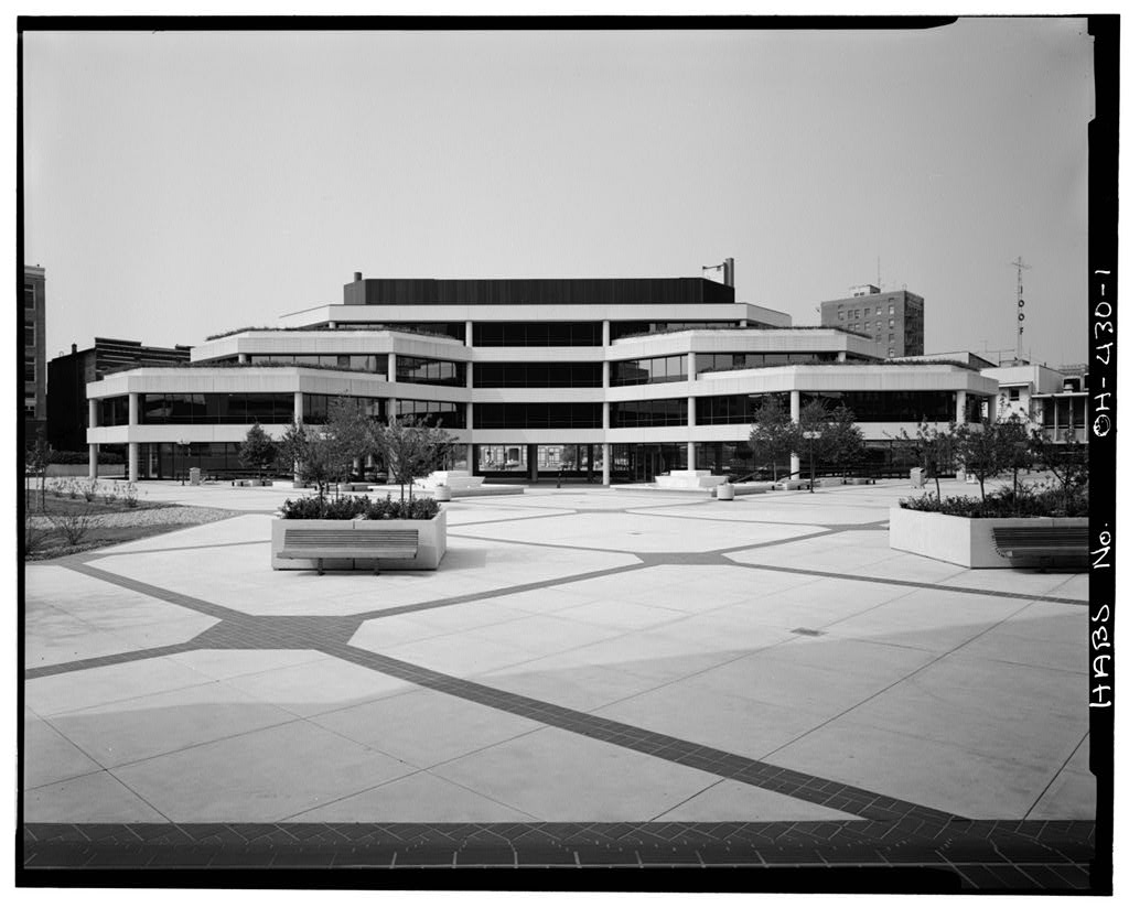
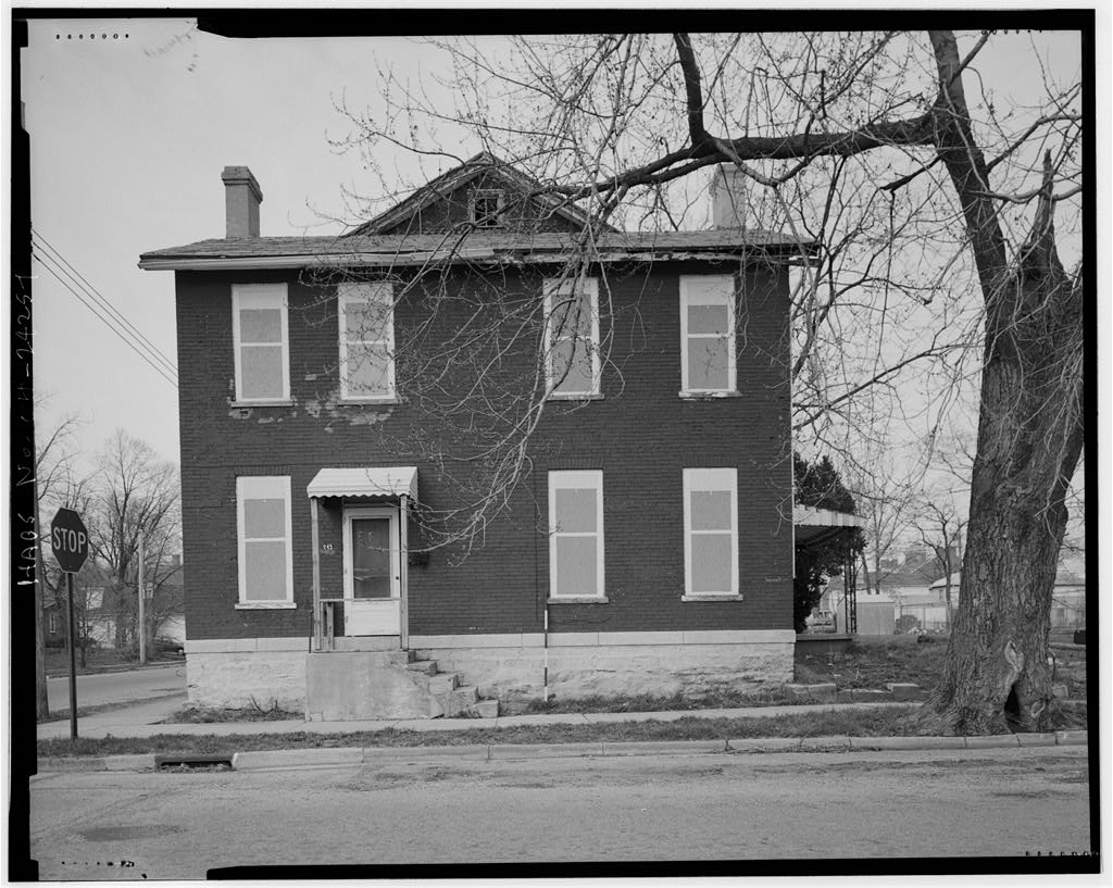
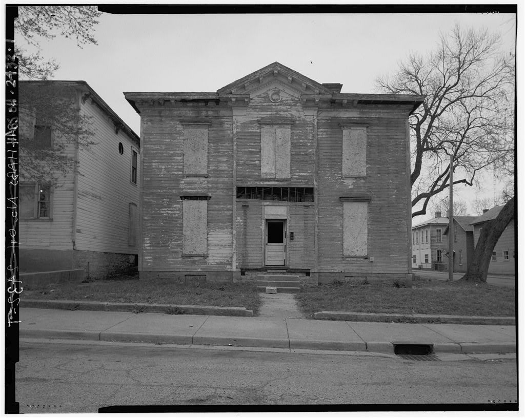
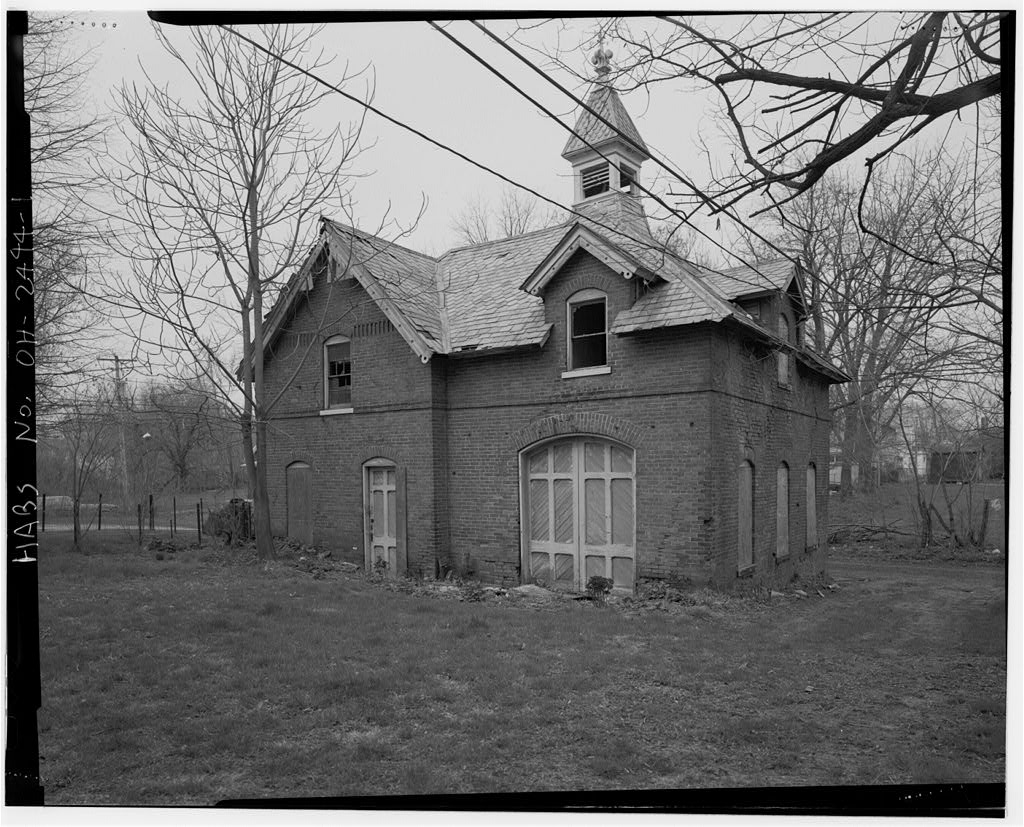
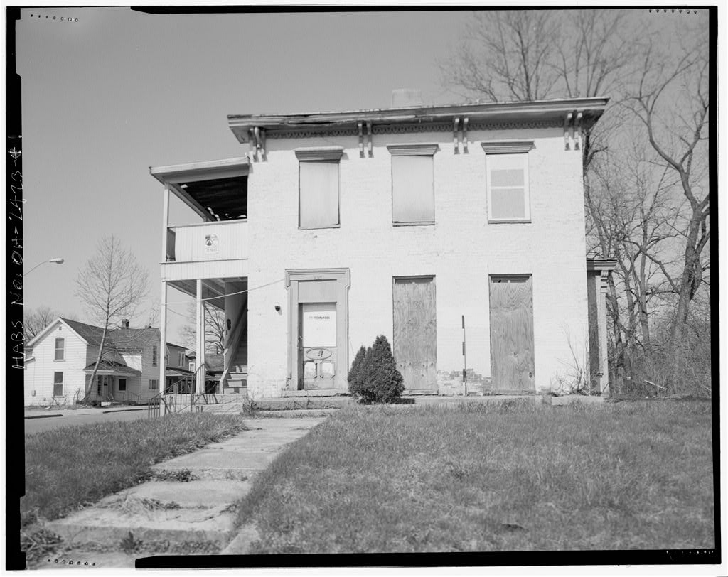
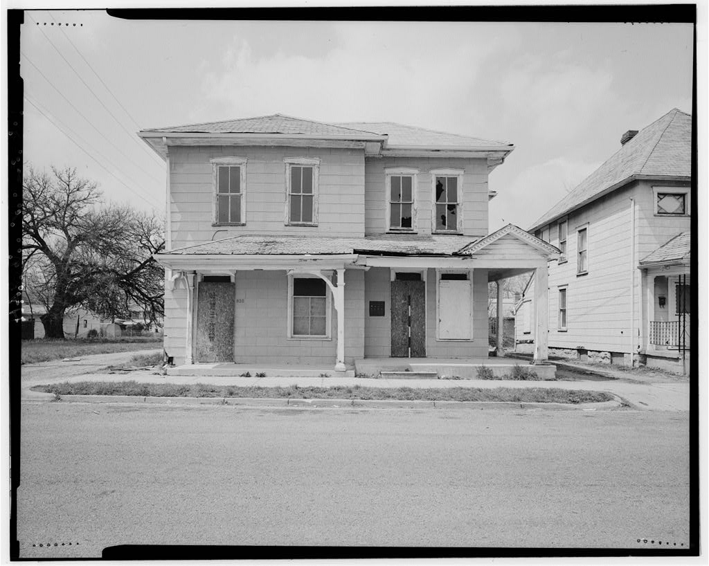
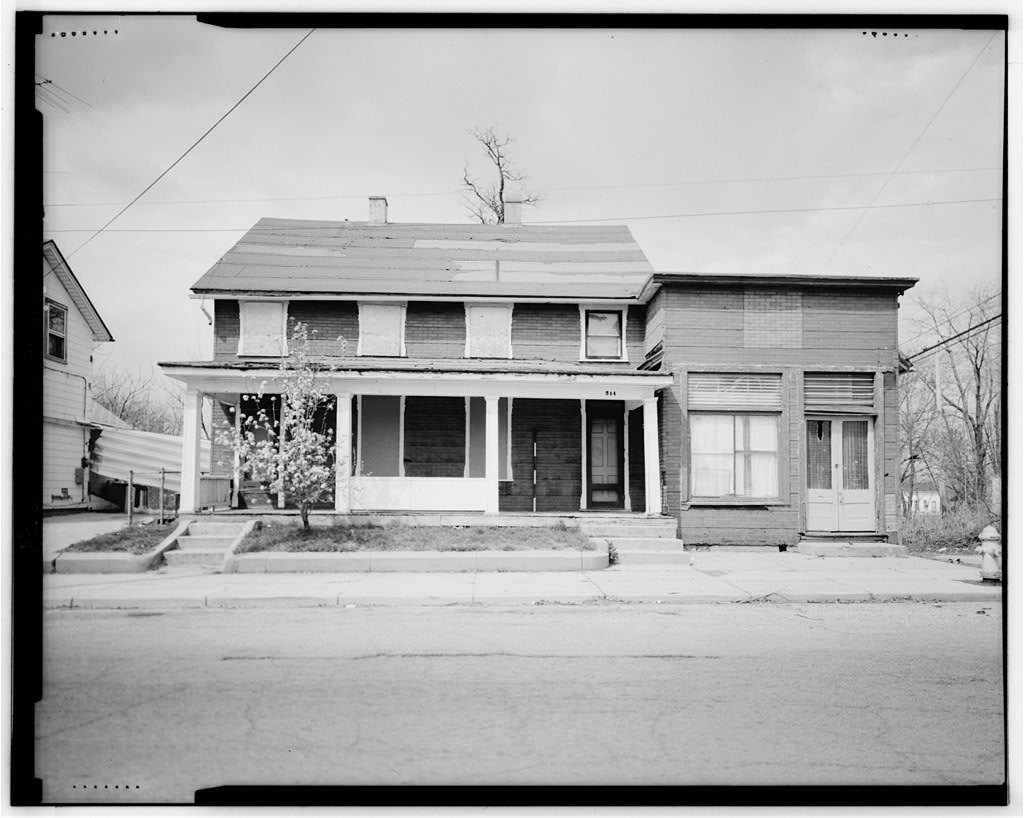
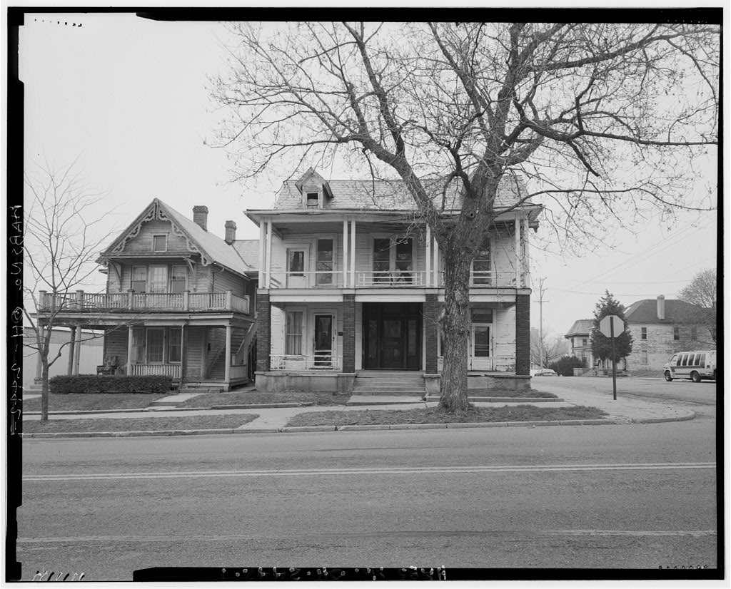
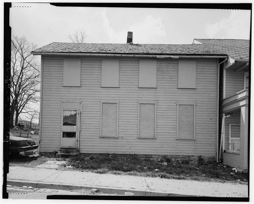
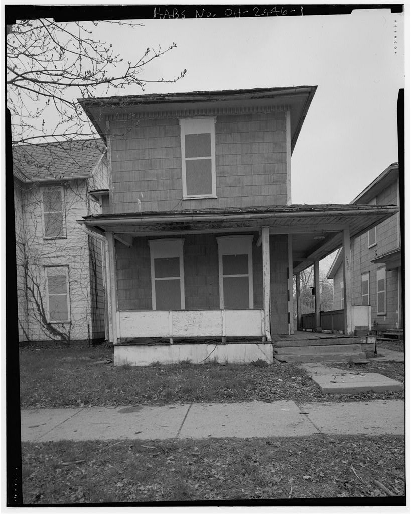
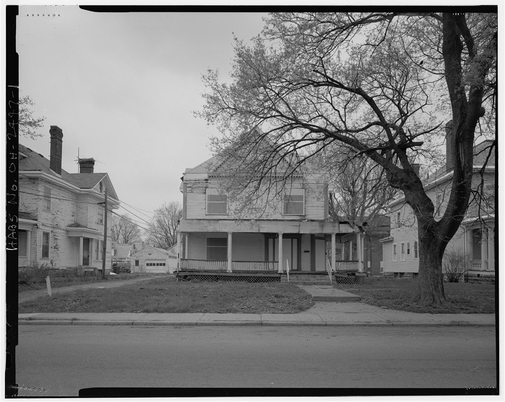
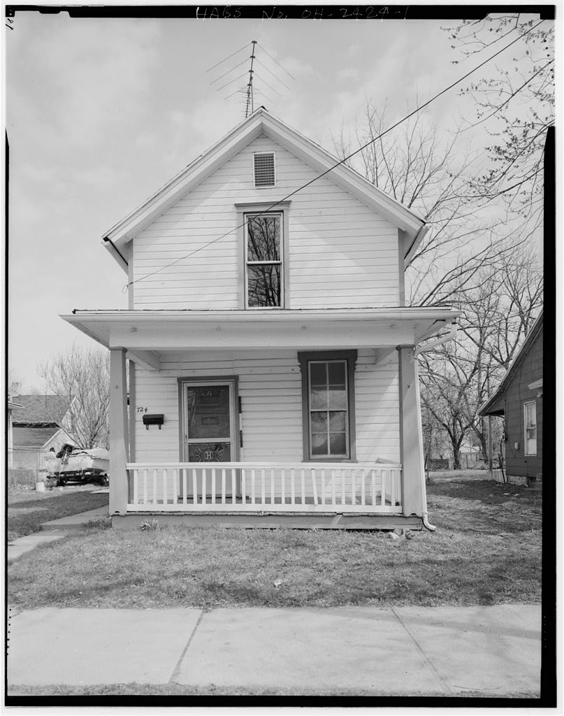
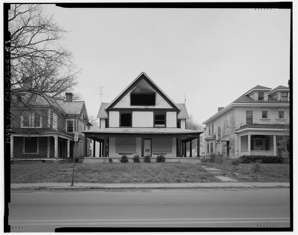
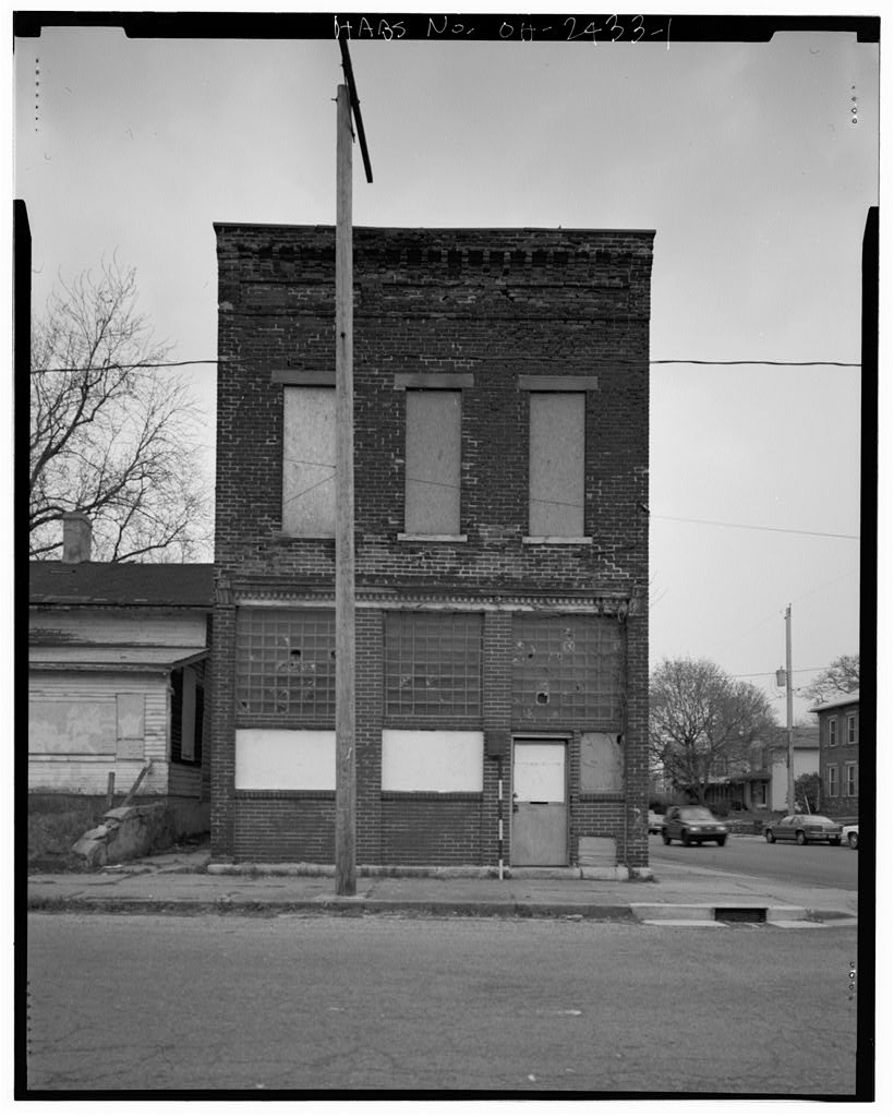
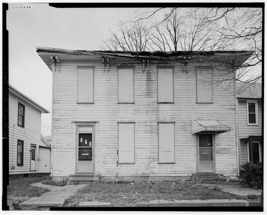
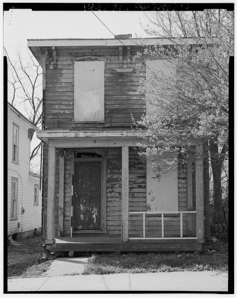
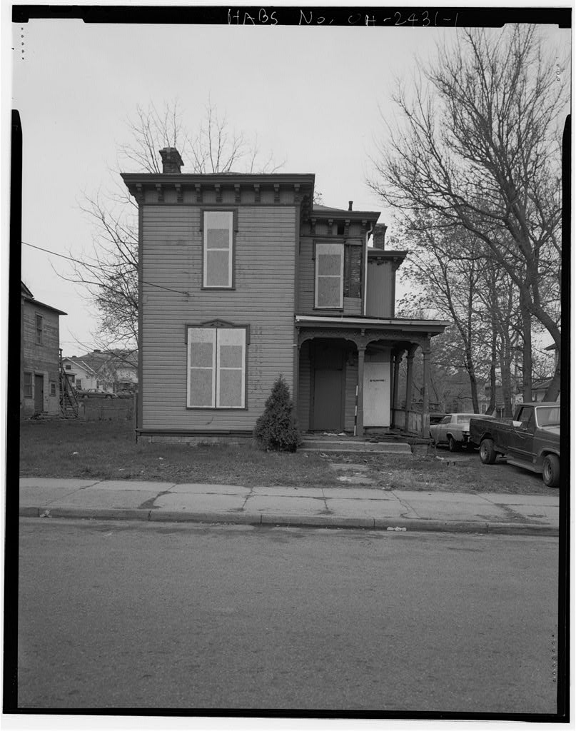
African-American Historic District, Springfield, Clark County, OH. Surveyed as HABS OHIO,12-SPRIF,5-, with 1 photograph and a 2,429-word written history.
From the record
“Springfield's African-American Historic District is an intact grouping of historic properties that constitutes the historic core of the community's minority neighborhood, containing homes of individuals who were prominent in the city's African-American community, including its first entrepreneurs and early leaders of the Civil Rights movement.”
Written record, HABS OHIO,12-SPRIF,5- survey. Machine-read text.
surveyed by the federal HABS program as HABS OHIO,12-SPRIF,5- · the record runs 2429 words · one of 41 surveyed structures published for this county.
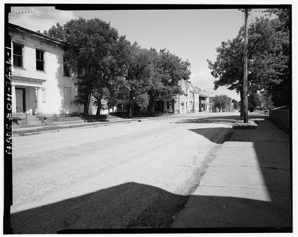
1 photograph from the federal survey record, Library of Congress.
Location
58 words
Source document
Quoted word for word from HABS OHIO,12-SPRIF,5-.
Not written, edited or summarised by this site.
This historic district is located southeast of downtown Springfield and consists of a 22- block residential neighborhood bounded by Center St. on the east, Pleasant St. on the north, Euclid Ave. on the south and Miami St. and its southerly extension to Euclid Ave. on the west. USGS Springfield Quadrangle, Universal Transverse Mercator Coordinates: Present Owner. Present Occupant,
Significance
2148 words
The headings the report itself prints. Each one jumps to where it begins.
Source document
Quoted word for word from HABS OHIO,12-SPRIF,5-.
Not written, edited or summarised by this site.
Springfield's African-American Historic District is an intact grouping of historic properties that constitutes the historic core of the community's minority neighborhood, containing homes of individuals who were prominent in the city's African-American community, including its first entrepreneurs and early leaders of the Civil Rights movement. The district also contains examples of various styles of American architecture that were popular from the Civil War era up through World War II. This includes some larger scale brick Italianate style houses, working class housing from the tum of the century and early twentieth century Colonial Revival style single-family frame houses. The district also includes historic religious buildings and an historic public school building. PART 1.
HISTORICAL INFORMATION A. Physical History: The first instance of minority land ownership in Springfield took place in the by the Basey family. This family was one of the earliest and eventually one of the largest black families in Springfield. Early black immigration to Springfield was influenced by the Underground Railroad, a series of routes through Ohio and elsewhere that escaping slaves used to flee to Canada. One of these routes passed through nearby Yellow Springs, a major concentration of abolitionists in this area. This route lead from Xenia, Yellow Springs, Springfield and then north through Urbana. Yearly Basey, a freed slave from Missouri, came to this community in the with the funds his wife Betsey had inherited along with her emancipation when her former owner died.
His first brick house was erected around and the family was listed in the late as living on Shaffer northwest of downtown Springfield. This first house may have been a log cabin. Yearly Basey lived until and married twice after the death of his first wife. The children from his three marriages began families that still live in Springfield.
African-American Historic District Babs
No. OB-2422 (page 2) Perry Basey was a former slave who purchased a property on Amelia St. about The present house was built around by Noah Basey and was in the residence of Ernestine Garrett Lucas, who was the author of a book about the Basey family. This property contained a gravel mine used by Noah Basey to supply material for a westward extension of Pleasant St. The Gammon House on Piqua Pl. was identified in the Springfield Historic Preservation Plan as a stop on the Underground Railroad. It is the best documented of five properties that may have been stops on the Underground Railroad in the greater Springfield area. Black residents were from the outset concentrated in the southeastern part of the community, in an area now known as the Davey Moore Park area.
Minority resident Ernestine Lucas reported in the minority survey of Springfield that actions were taken by local banks and politicians to encourage blacks to move into this area through loans and other means. In addition, white residents of this neighborhood were encouraged to move northward, north of Buck Creek River. Springfield had riots in and that affected its minority population. These are documented in Rufener's Rioting in Springfield, Ohio in Banner's National Urban League Review, and chapters from Baker's Following the Color Line. No properties associated with key figures in these riots were identified on any Ohio Historic Inventory forms, but the African American Historic District does constitute the core of the minority section of the city.
The riots began in after a black man named Richard Dixon shot and killed a white policeman who attempted to break up a fight between Dixon and his girlfriend. Dixon surrendered to authorities and was placed in jail. Before his trial, however, an angry white mob broke into the jail, killed Dixon and hanged his body and then dragged it through the streets for public viewing. The mob grew and began looting and vandalizing businesses owned by blacks and terrorizing blacks in their homes. It took several days before the situation was totally under control and the Ohio National Guard was called in to provide assistance. In white riots broke out again, targeting black businesses and homes, after Edward Dean, a black man, was involved in a shooting incident in a bar.
It has been suggested that the riots of were a continuation of the rioting that began the previous year and which never really ended. Grace Myers, a Springfield civil rights activist who witnessed the riots and recalled the events in a interview, characterized them as being more about religion and economic classes than about race, for example, working class Catholics against working class Protestants during a time when economic conditions were severe.
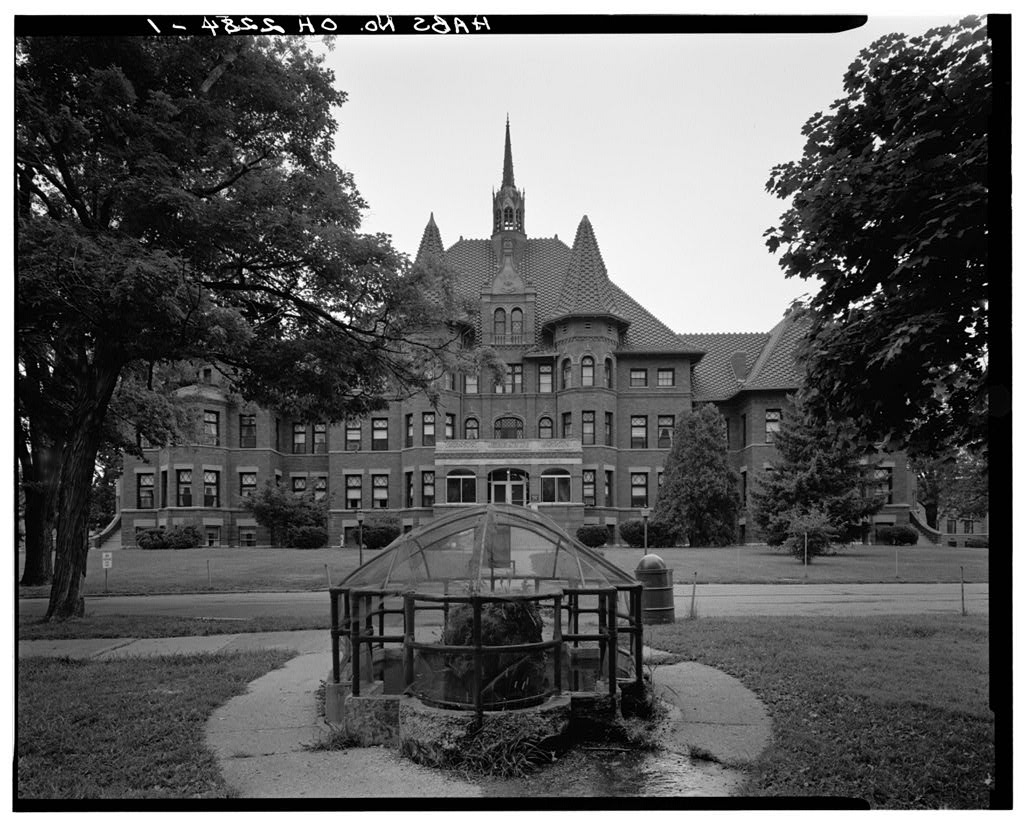
In terms of education, the local school system maintained separate schools for blacks, beginning in This segregation of the schools lead to tense moments in the city's history, including some nationally publicized rioting in the In the decade from to black population in the city rose from less than to over an increase of nearly The proportion of black students in Fulton School, which served this southeast part of the city, rose from 35% in the to about 45% between and and to AFRICAN-AMERICAN HISTORIC DISTRICT BABS No. OH-2422 (page 3) 62% between and This influx of black students sparked several riots during this timeframe.
This situation is discussed in detail in an article published in the American Quarterly by Elliott Rudwick titled "The Early Boycott of Segregated Schools: The Case of Springfield, Ohio, to ". This article states that in May the school board planned to transform Fulton school into an all-"Negro" elementary school. While the school was situated in an neighborhood with a heavy concentration of blacks, there were also a good number of whites still residing here in the The move to make this school exclusively black prompted a black boycott of Fulton School which attracted national attention. The boycott split the black community. there were factions that desired all black schools, seeing them as the only means to gain black teachers, who were then not allowed to teach white students.
Another faction saw all-black schools as the institutionalization of complete separation of the races in Springfield. Eventually, the dispute involved the National Association for the Advancement of Colored People, which sided against segregation. The majority of black people agreed to boycott Fulton School by keeping their children out of school. Individuals associated with this boycott have been documented in past surveys of Springfield's historic properties and are clustered in and around the African American Historic District. The development of this area as the center of the African American community was also influenced by the development of newer white neighborhoods in the northern part of the city.
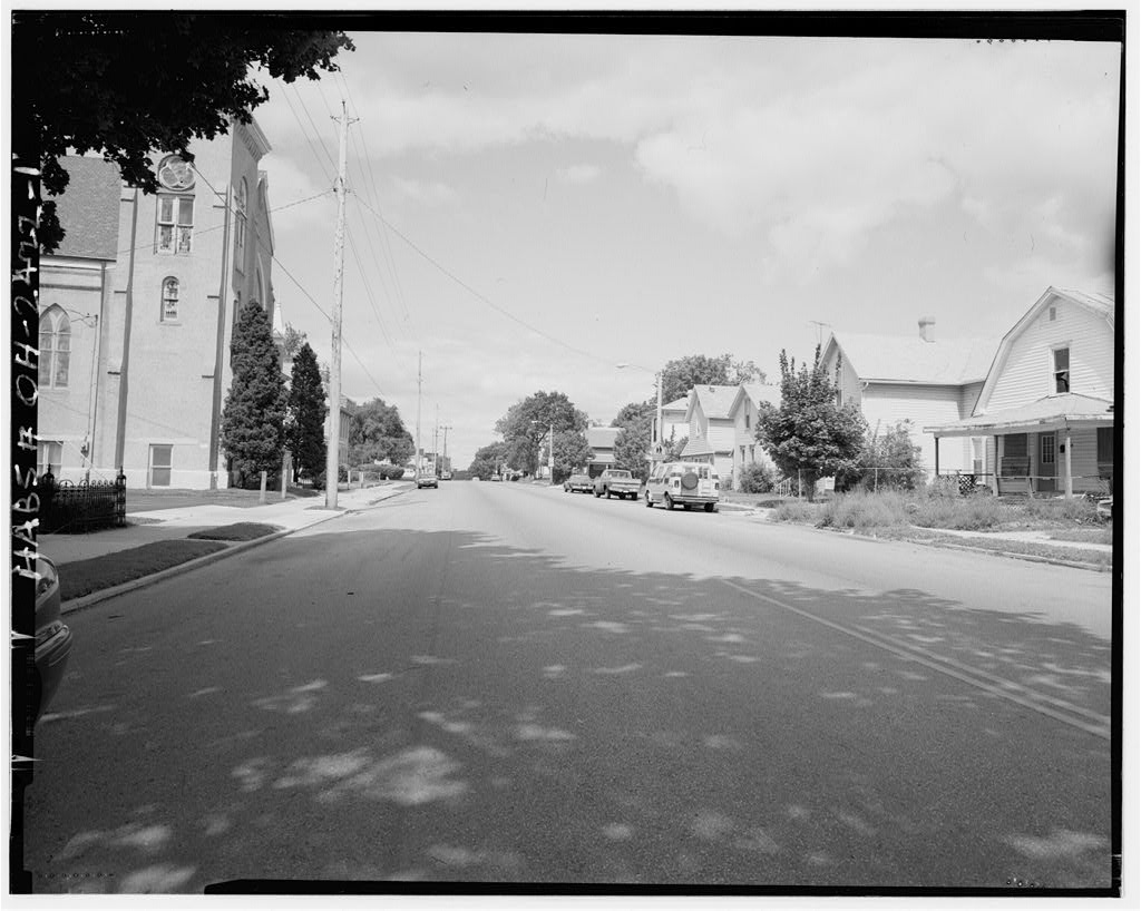
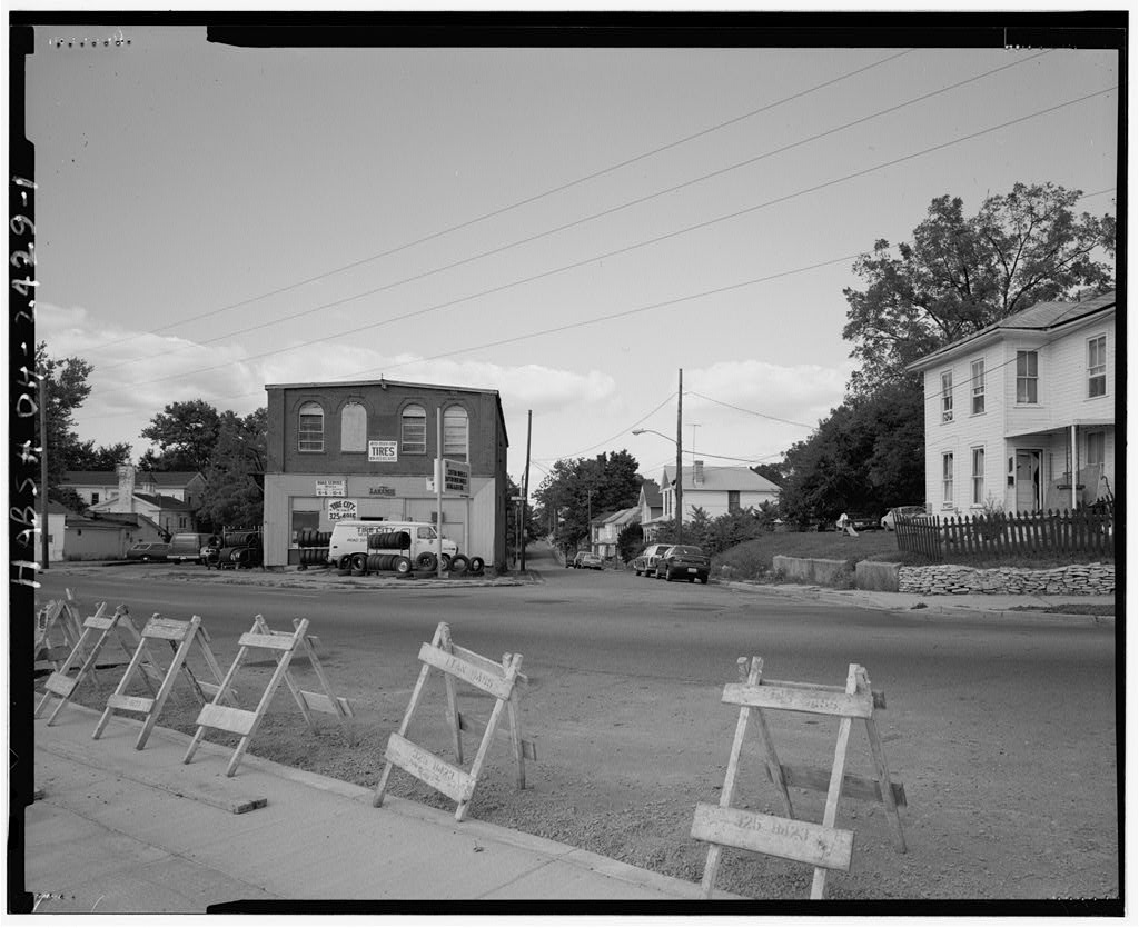
It has been suggested that while lending institutions limited loans to blacks to specific parts of the city centered about this district, they also encouraged the migration of whites out from these inner city areas, which were becoming integrated, into the newly developing and exclusively white neighborhoods. This trend of white out-migration and black segregation continued into the post- World War II period, abating only in the period beginning with the The district is primarily residential in character, containing residences from the late nineteenth through early twentieth centuries, but it also has commercial and institutional properties. It is bounded on the north by Pleasant which is a through route that runs east-west just south of the downtown.
Center and Wittenberg are north-south routes that carry traffic from various parts of the city. The other streets within the district are basically non-through side streets that receive fairly light traffic. While the street layout of the district is basically in the form of a gridiron, with square blocks of fairly small size, the area east of Wittenberg has east-west streets that vary somewhat from the regular grid pattern. There are also east-west streets that end at Center forming vistas that terminates at historic houses.
Part Ii. Architectural Information
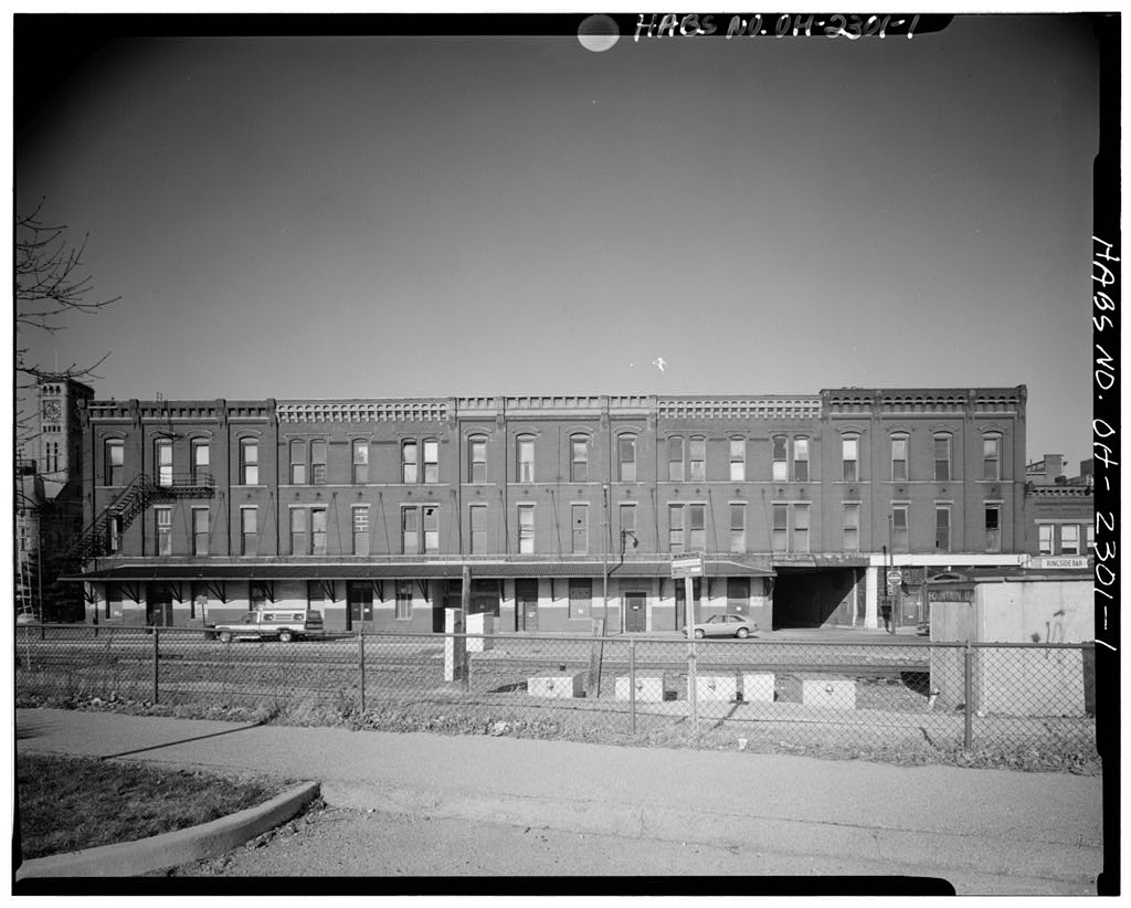
The district contains mostly frame residences that are two stories in height and have foundations of stone, brick or cement block. Most are faced with horizontal wood siding, either shiplap or clapboard. A few brick houses are present in the district, plus some churches and institutional buildings. Italianate, Queen Anne and Colonial Revival are the most common architectural styles found in the district. Among the major buildings within the district are the Center Street YMCA, 521 S. Center St. It is a large and imposing early century commercial building with an elegant masonry exterior. AFRICAN-AMERICAN HISTORIC DISTRICT BABS No. OH-2422 (page 4) Among the major buildings within the district are the Center Street YMCA, 521 S. Center St.
It is a large and imposing early century commercial building with an elegant masonry exterior. The Samuel B. Clemens House, 724 S. Center is a simple two-story residence that rests on a limestone foundation, is of balloon frame construction, has a shiplap-siding exterior and is capped by a front-facing gable roof The house has a simple full-width front porch with a shallow-pitched hipped roof that is supported by wood corner posts. Windows are generally symmetrically arranged on the exterior. The Catherine Zimmerman House, Fair rests on a foundation of rubble rock-faced limestone. From this foundation, massive walls of common bond brick rise to the top of the second floor. These brick surfaces have been painted.
The off-center doorway is part of a cluster of more closely spaced openings on the west half of the front elevation. The building has a full- width rear wing with a massive hipped roof that extends up above the lateral gable roof of the front section, featuring a small attic window facing the street. Chimneys accent the center of each end of the lateral gable roof and two more chimneys are in the rear. The L. E. Reid House is one of the older hosues in the distirct and stands at S. Wittenberg Ave. Long elegant first floor windows flank symmetrical front entrances at either end of the facade. Aluminum awnings shield these and one of the two front entrances. On either side of the center flat-roofed area are chimneys.
There is also a chimney in the one-story rear wing and it appears as though a second rear chimney was removed in more recent years. The exterior of the house is faced with drop siding. The house has a low rubble limestone foundation. Ornate but widely spaced pairs of brackets accent the eaves along the front and sides. The Ross Mitchell House, 545 S. Center is constructed of brick which has been painted and rests on a foundation of rock-faced limestone. Its broad lateral gable roof has bracketed eaves in front that are fairly simple. Arched attic windows have unusually elaborate hood moldings. A brick two-story gabled rear wing faces the side street, projecting out from the plane of the side elevation.
A two-story side porch adjacent to this wing seems like a later feature, perhaps from the turn of the century period. Windows have two-over-two wood sash. This is one of the district's older and more elaborate houses. 705 and 711 Wiley are part of a row of virtually identical hosues along this alley-like side street. 711 Wiley is a narrow T-shaped house that rises two stories from a low masonry foundation and has its gable end facing the street. A single broad first floor window is set below a pair of smaller second floor windows, all with one-over-one sash. A narrow porch is set along the side and extends back to the slightly projecting lateral gabled wing.
The lateral gable roof projects through the opposite side to form an attic gable, although the wing does not project on this other side. Behind this lateral gable section is a lower one-story rear wing with a gable roof It has a recessed rear porch at its northwest corner. AFRICAN-AMERICAN HISTORIC DISTRICT BABS No. OH-2422, page 5 Both the front and rear porches have been enclosed in more recent years. There is a slender lateral wall chimney near the front of the house and a simple chimney in the kitchen wing. The Duncan House, 618 S. Wittenberg Ave., is a rectangular building that is part of a relatively closely spaced cluster of tum of the century houses within the proposed African- American Historic District.
The frame walls rise from a masonry foundation and extend up to the base of the second floors along the sides. The house has a small cornice with returns at the gable ends. At the front and rear the gambrel roof ends impart a barn-like quality to the house. A single double-hung one-over-one window in front and a similar off-center window in the rear plus a small square window are present in these gable ends. One side seems to contain the staircase to the second floor. The full-width front porch has a roof that is supported by comer posts spaced between a simple but altered porch railing. The house has a center brick chimney. PART ill. SOURCES OF INFORMATION
Bibliography
135 words
The headings the report itself prints. Each one jumps to where it begins.
Source document
Quoted word for word from HABS OHIO,12-SPRIF,5-.
Not written, edited or summarised by this site.
and later Springfield city directories Springfield city water tap records History of the Manufacturies of Springfield, Ohio pp. 18, 42, Ison, Sam and Goldman, Grant, "Champion Historic District" National Register of Historic Places Inventory/Nomination Form, July 7, Springfield Men of Affairs, p. 6. (an unpublished compilation of cartoons that originally appeared in Springfield newspapers before Prince, Benjamin F., ed., Centennial Celebration of Springfield, Springfield: Springfield Publishing Company, pp. Springfield Scrapbook, p. Springfielder, Springfield: Springfield Chamber of Commerce, October p. 9 PART lV.
Project Information
Historian and author of this study: Steven McQuillin, preservation consultant to the City of Springfield, Ar12J~tj, ~UtJZ.\f!AfJ NO. Dd 21U. ') ~OUiH SCHOOL KEY TD HlSToRlC Af!SIGAN-AMER.1CAN Hl$TOR.1C. No. DH- fOVf\\TAIN P&E:5Eg.VAX10N AR.EA- No. OH- c,HAMPION HISTDRI c. T>ISTR.I c.T - - -- HASS No. o~- oF 5Pf<.1NGF1E.L..P cov DHI D
The original filed report, and the sheets the survey produced. Those published here appear above.
Also surveyed in Springfield
24 of 39 records shown
The federal surveyors worked through Springfield building by building. These are the other structures
they measured and filed a report on, longest report first.
 Block
Block