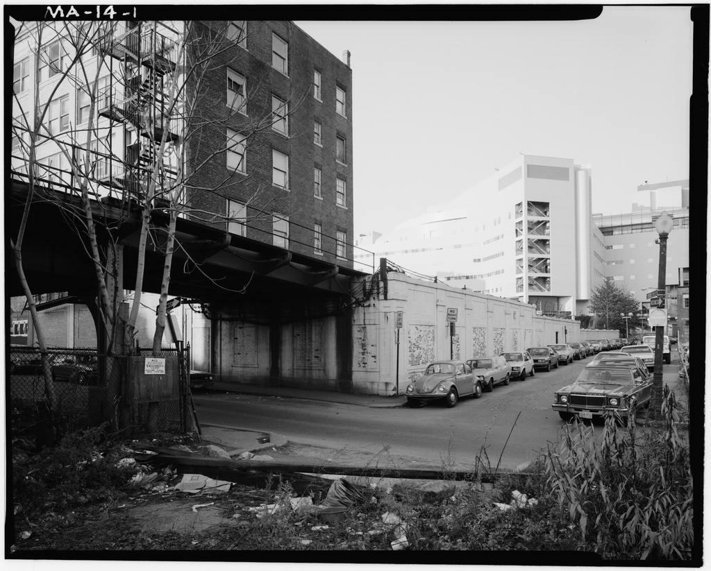
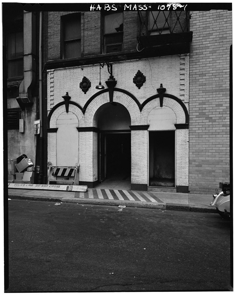
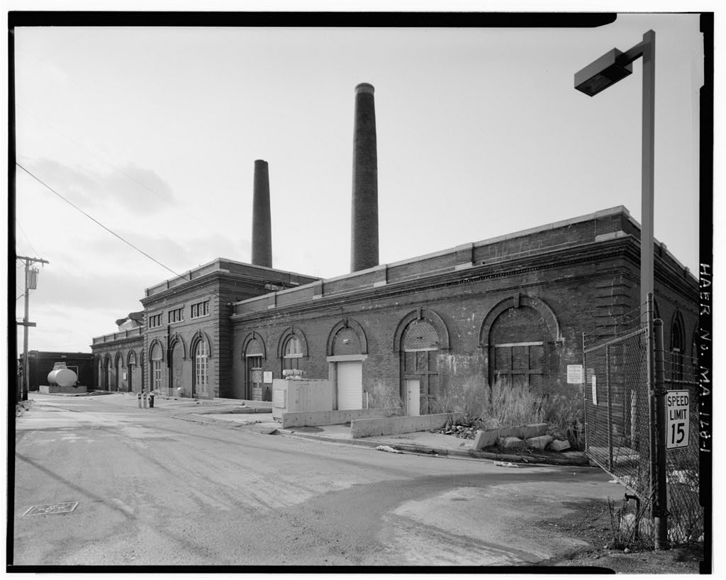
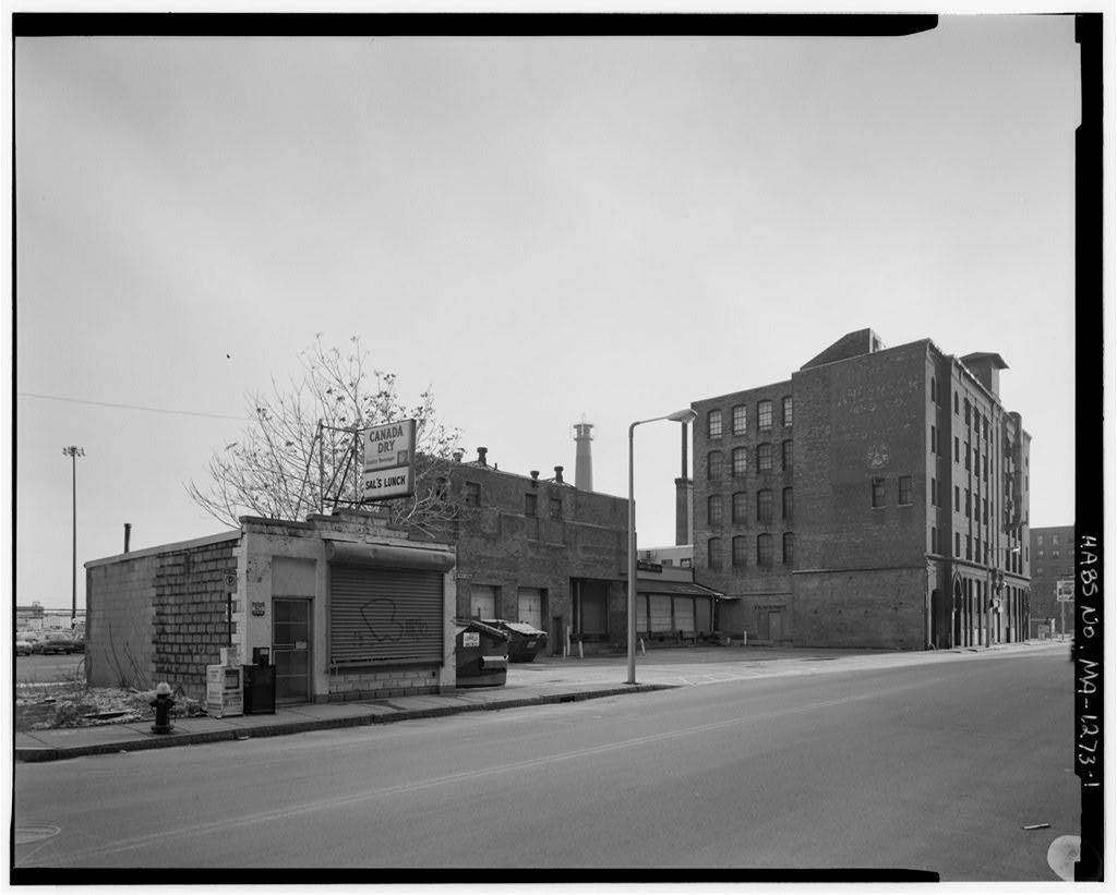
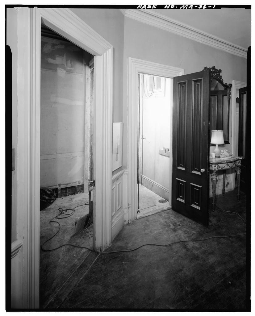
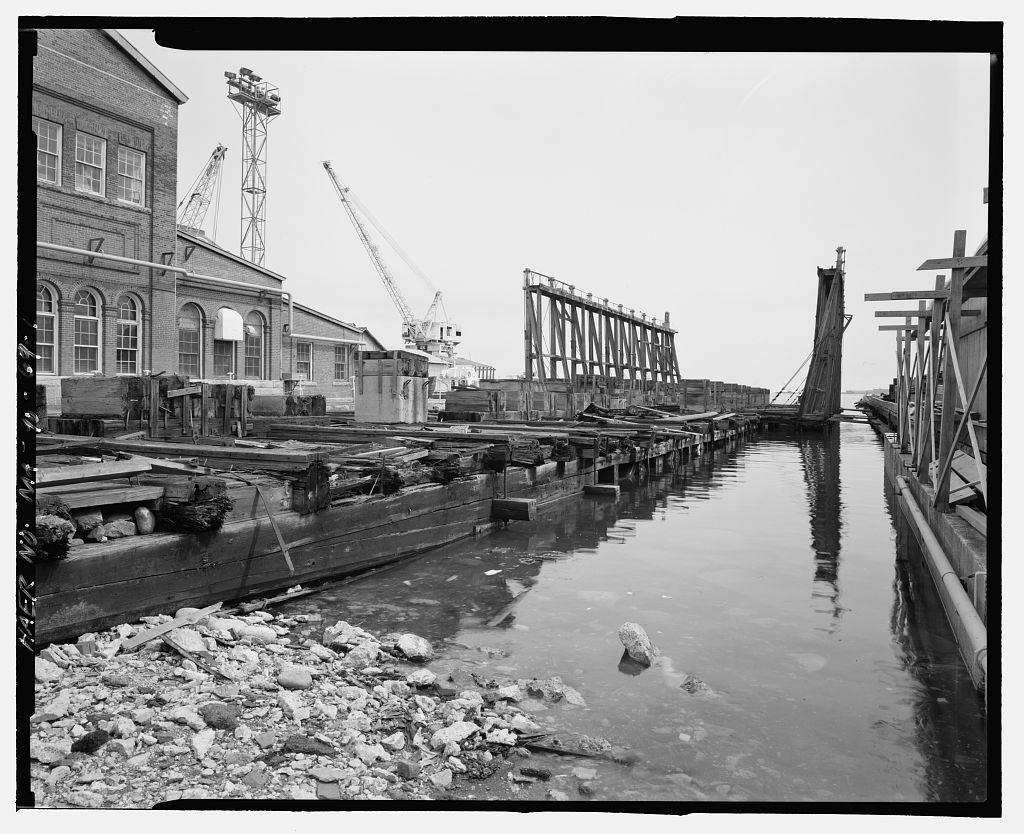
This documentation was initiated in accordance with three Memoranda of Agreement between the General Services Administration, the Boston Redevelopment Authority, the Massachusetts Historical Commission (SHPO), the National Park Service and the Advisory Council on Historic Preservation, as mitigative measures for various undertakings at the former Navy Yard. This documentation was prepared between April and August for ENSR Consulting and Engineering for submission to the U.S. Army Corps of Engineers, New England Division, prior to initiation of remedial investigations under the Defense Environmental Restoration Program. Documentation prepared by: McGinley Hart & Associates Architects and Preservation Planners 77 North Washington Street Boston, Massachusetts CHARLESTOWN NAVY YARD HAER No.
MA-90 (page 2) INTRODUCTION Charlestown Navy Yard, also known historically as Boston Navy Yard or Boston Naval Shipyard, served the Navy for 174 years from to Although the yard was engaged in shipbuilding, its primary mission was the conversion, overhaul and repair of naval vessels, as well as research, development and test work. Many naval prototypes and improvements originated at the navy yard: dry docks, which revolutionized shipbuilding in the United States; a school for naval officers, which was precursor to the United States Naval Academy; ironclad vessels, which altered naval warfare after the Civil War; a ropewalk that provided cordage to the Navy until after World War II; the development of die-lock chain; and development of the first guided missile destroyer.
Decommissioned in Charlestown Navy Yard has been designated a National Historic Landmark, and is listed on the National Register of Historic Places. The western section of the yard is administered by the National Park Service as part of the Boston National Historical Park, and is home to the USS Constitution, the oldest surviving commissioned ship of the U.S. Navy. Known officially as the Boston Navy Yard, the installation was also historically referred to as the Charlestown Navy Yard because of its location in what was, until a separate town. In the name was changed to Boston Naval Shipyard, when command of the 1st Naval District became distinct from command of the yard.
The name Charlestown Navy Yard was restored by act of Congress on October 1, 197 4, with the establishment of Boston National Historical Park.
Charlestown Navy Yard is located in the Charlestown section of Boston, Massachusetts, about one mile northeast of the city's central business district. Largely built on fill dredged from the harbor since the early nineteenth century, the yard is laid out along Charlestown's southeastern waterfront, on a relatively flat peninsula historically known as "Moulton's Point," at the confluence of the Charles and Mystic rivers in Boston's inner harbor. The yard's boundaries are formed by the Charles River on the north, south and east, and Chelsea Street on the west. Although the yard is oriented southwest-northeast, for purposes of simplifying maps and descriptions Chelsea Street is generally referred to as the north boundary of the yard.
The overall perception of Charlestown Navy Yard is that of a modern, marine-oriented industrial site. The yard is dominated by substantial brick and granite buildings, aligned on a nineteenth-century grid of streets and occasionally punctuated by green spaces, with a number of wharfs and piers jutting out into the water. While the appearance of the yard is constantly evolving, many of the existing structures are historically and/or architecturally significant. These include military structures such as quarters and armories, utilitarian structures such as warehouses and power plants, industrial structures such as the ropewalk and foundries, and marine-related structures such as dry docks, piers and shipways. CHARLESTOWN NAVY YARD HAER No.
MA-90 (page 3) Since its decommissioning in Charlestown Navy Yard has been divided into areas of multiple ownership. The western 30 acres was transferred to the National Park Service, and is maintained as part of the Boston National Historical Park. The eastern 100 acres of the Navy Yard, administered by the Boston Redevelopment Authority, is divided into three distinct sections: a public park, a historic monument area, and a new development area zoned for residential, commercial and industrial uses. The historic shipyard buildings are now interspersed with new construction, and old buildings serve new uses.
In the United States was engaged in a naval war with France, when Congress called for the building of six frigates to protect American commerce from French attacks. Over the course of the next two years, Secretary of the Navy Benjamin Stoddert purchased sites in six cities in which the ships could be built. One of the sites selected was a tract of land in Charlestown, Massachusetts, on a peninsula between two rivers in Boston's inner harbor, an area historically known for shipbuilding. The location was ideal for a naval shipyard as it was in a well-protected harbor, with sufficient space for piers and wharfs, and deep enough waters for large ships to berth and room enough for them to turn.
A 65-acre parcel of land was acquired by the Navy between and Initially, much of the landmass now occupied by the Navy Yard was non-existent. The yard was built primarily on intertidal mud flats with fill dredged from the harbor throughout the nineteenth and twentieth centuries. When the property was first acquired, it was predominantly pasture, marsh and tidal flats, but over time the area was infilled until it evolved to its present form. One of the primary purposes of the navy yard was to provide space for berthing ships and storing timbers. This was accomplished by developing the tidal marshes at the water's edge. A portion of the marsh at the western end of the yard was enclosed by a wharf to form a wet basin for floating timbers.
Gradually, other portions of the tide marshes were filled in to make way for ship construction. By the mud flats were closed in with a granite seawall, which formed the Navy Yard shoreline until World War II when additional piers were constructed.
Under the direction of Commandant Samuel Nicholson, part of the waterfront was converted into a shipyard, and the first structures were built. Constructed of timber, these structures included a powder magazine, storehouses, a blacksmith shop, a wharf, and a hospital (none of which survive). Within a few years, the yard also saw construction of several Federal-style buildings, including the Commandant's House the Officers' Club and the Marine Barracks All survive, although they have been altered to some extent. CHARLESTOWN NA VY YARD HAER No.
MA-90 (page4) Construction at Charlestown Navy Yard proceeded relatively slowly until after which many wooden buildings were replaced with stone or brick, landscaping was added, and a granite wall was built along the north and west perimeters of the yard. The War of made development of the U.S. Navy a priority, and Congress authorized major construction projects at all navy yards. Architecture of the first major period of construction at the Navy Yard was built in the Federal style, reflecting the ideals of the new nation.
The present siting of the yard reflects the original Navy Yard master plan of which contained a grid pattern of avenues and streets and which instilled a sense of military order to the buildings and their surrounding open spaces with a strong tie to the Boston waterfront. Attributed to architect Alexander Parris, a prominent figure in the Navy Yard's development, the plan is more likely to have been conceptualized by his predecessor, Loammi Baldwin, a planner and inventor who is considered to be one of the first prominent engineers in America. Among the first structures erected during this period were Dry Dock No. 1, engineered by Baldwin, and its granite Pump House, Building 22 (now the USS Constitution Museum), designed by Parris.
Parris served as Chief Civil Engineer of the Yard until his death in and was responsible for the design and construction of many of the neo-classical style, granite structures built at the Navy Yard from to including the Ropewalk (Building and the Tar House (Building A second period of construction occurred under Joseph Billings who had studied under Parris and executed some of his later designs. Billings took over the position of Chief Architect vacated by Parris, and served until Heavily influenced by Parris, Billings continued the neo-classical style granite building program. In Billings was responsible for the design and construction of Building 42, which contained the first steam-powered machine shops at the Navy Yard.
This brick and granite building altered the architectural scale and texture of the Navy Yard and defined the beginning of a more industrial style of architecture. Billings went on to become one of Boston's most significant architects, designing many prominent buildings in the city. After the Civil War, the shipyard's function shifted from shipbuilding to supply, equipment and repair; as a result, little new construction took place between and The third phase of architectural development at the Navy Yard coincided with the beginning of the twentieth century. The Spanish-American War at the end of the as well as Congressional appropriations for the construction of American-built, steel-hulled warships, resulted in a period of growth for the Navy Yard.
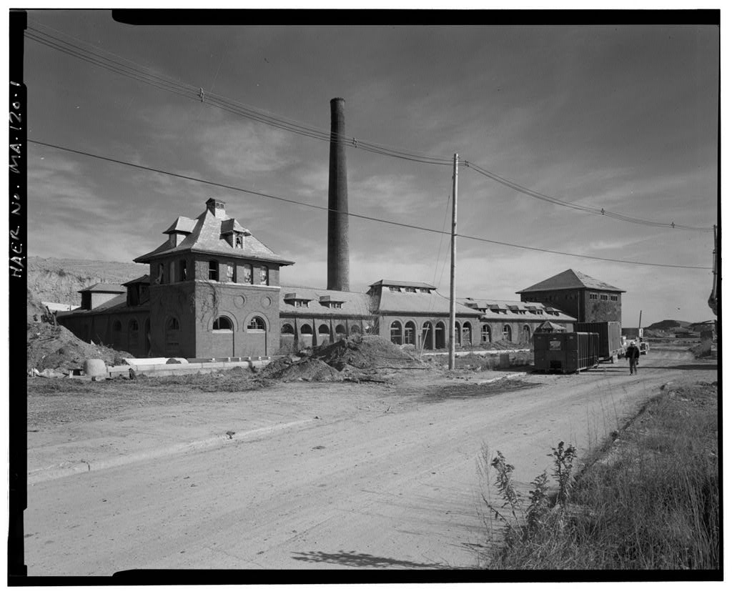
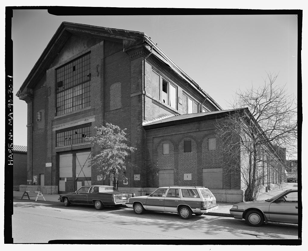
According to historian Frederick Black, between and the U.S. Navy ranked third after England and France in naval ship construction. Expansion of the American naval fleet resulted in a resurgence of activity at the Navy Yard in Boston. The construction of Dry Dock No. 2 enabled the Navy Yard to repair battleships, and a number of brick veneer, steel-frame industrial buildings were constructed during this period, including the Yards and Docks Department offices and shops (Building and the Central Power Plant (Building (See HAER No. MA-90-34.) During this period of expansion, the Bureau of Yards and Docks was responsible for the construction of forty new structures.
The building program incorporated many of the industrialization ideas of the early twentieth century such as the installation of elevators and the use of fireproof building CHARLESTOWN NAVY YARD HAER No. MA-90 (page 5) materials and sprinkler systems. A system was developed to assign numbered street and avenue designations to all roadways within the Navy Yard. In the military buildup prior to World War I, a number of new piers were constructed, including Pier 4A and Pier 10. (See HA.ER No. MA-90-7.) Other piers, such as Pier 9, were rebuilt at this time. (See HAER No. MA-90-67.) During World War I, Charlestown Navy Yard served as a major embarkation point and supply depot, and serviced an average of fifty ships coming and going daily.
Most of the structures erected during the war were temporary, portable buildings used primarily for storage. Improvements at the waterfront included construction of a Marine Railway for hauling small vessels out of water for repairs. (See HAER No. MA-90-69.) In the shadow of World War II, the shipyard once again became a major shipbuilding facility. At the height of its productivity during World War II, the yard accommodated a work force of This buildup necessitated physical expansion of the Navy Yard and its annexes in Boston Harbor, although lack of space precluded any major building projects, and much of the expansion involved additions to existing structures and construction of two dry docks in South Boston.
With shipbuilding a priority, much of the construction efforts focused on the waterfront. The piers were extended and industrial service buildings constructed to house switches and equipment for ship-maintenance utilities. A piping system for oxygen distribution was installed to provide oxygen to the piers and steel-fabrication shops. (See HAER No. MA-90-62.) A new dry dock was constructed, Dry Dock No. 5, to provide a maintenance facility for destroyer escorts; Pier 11 was constructed as a degaussing station for demagnetizing ships. (See HAER No. MA-90-68.) After World War II, many military installations across the country closed. In the interest of efficiency and economy, more and more shipwork was contracted out to private shipyards, and a number of navy yards closed.
Charlestown Navy Yard continued to function in a primarily industrial capacity, and was involved in a number of important activities, including the development of die-lock chain, materials testing, rope and nylon testing and development, and the development of naval missiles and sonar systems. Eventually, technological innovations and increased sizes of ships phased out older ship repair facilities, such as those at Charlestown Navy Yard. In addition, the Vietnam War exacerbated the military's budget problems, resulting in a number of closures at naval installations. By the early it had become clear that the yard at Charlestown was too congested to undergo the extensive modernization it would require to continue as a naval shipyard.
Additionally, the costs for such modernization were prohibitive. Finally in the decision was made to close the yard. Charlestown Navy Yard was decommissioned in and the property was transferred to the National Park Service and the Boston Redevelopment Authority. CHARLESTOWN NAVY YARD HAER No. MA-90 (page 6)
Charlestown Navy Yard is one of the earliest naval shipyards in the United States, founded in shortly after the establishment of the U.S. Navy. Together with the navy yards at Norfolk, Virginia and Brooklyn, New York, it was one of the most important facilities of its kind in the United States through the end of the Civil War. Charlestown Navy Yard's mission was the construction, conversion, overhaul and repair of naval vessels, as well as research, development and test work. The shipyard's 174-year history, therefore, encompasses not only the emergence of the United States as a great naval power, but also the technological revolution that established the country as an industrial power.
The yard has retained many of its historic architectural, industrial and marine-related components, and is a nationally significant site identified with the naval, technological and industrial history of the United States. CHARLESTOWN NAVY YARD HAER No. MA-90 (page 7)
Bearss, Edwin C. Charlestown Navy Yard, Historic Resources Study, Volumes I and II. United States Department of the Interior, National Park Service, Boston National Historical Park, Boston, Massachusetts, Black, Frederick R. Charlestown Navy Yard, Historic Resources Study, Volumes I and II. United States Department of the Interior, National Park Service, Boston National Historical Park, Boston, Massachusetts, Boston Redevelopment Authority. Charlestown Navy Yard: Master Planfor the Yard's End, March Raber, Michael S. and Matthew W. Roth. Boston Naval Shipyard: A Plan for Cultural Resource Management in the Buy Parcel Area, study prepared for the Boston Redevelopment Authority, New Haven, Connecticut: Raber Associates. United States Department of the Interior, National Park Service.
National Register of Historic Places Nomination Form: Charlestown Navy Yard, United States Department of the Interior, National Park Service. National Register of Historic Places: Charlestown Navy Yard National Historic Landmark Survey, February Yard Plans, Charlestown Navy Yard. Boston National Historical Park Archives, Charlestown Navy Yard, Boston, Massachusetts. CHARLESTOWN NAVY YARD HAER No. MA-90 (page 8) c:: 0 ~ 0 a:l - . :: -~ 8 .s CHARLESTOWN NAVY YARD HAER No. MA-90 (page 9) ~ 0: - ------........_.,..,i CHARLESTOWN NAVY YARD HAER No. MA-90 (page 10) ,1/ - ~ CHARLESTOWN NAVY YARD HAER No. MA-90 (page 11) . \ :._ \ ".. ni, i .:\ ;- "'\ ~ ;_ ; ,. :.: .: :: : r ; ; " ; I::: ~:. ~ ~ ' , '! - ~ ~ ; ; ~-~--i ; ;. ; ; ~~Jii{;/;)i;' ,.- ~ ~ ; CHARLESTOWN NAVY YARD HAER No.
MA-90 (page 12) 'r ,I I I - . . I .-- - - -' -~ ~- II ' " . .. CHARLESTOWN NAVY YARD HAER No. MA-90 (page 13) 4 5 b 17 h h / ~n 16 tT1 ~ -- -References -- G,~i~I /~ Rc,1roed Tree~$ ~~ C~ 140 kack,imr:tI::J.JTI ' I HyOr nt, _ I cy Ulpstan~ . . E:1 15 EJ~cfru:: 5freet L, hla i(,-;- U ~I :; : \\ ~\ Alar<TI Bo $. L " ! Ii :I ~ II I V c ~ 14 ,7 .., '-. ~ 'I I 111 e, !\!AP (W 0 2 -3 4 13 I " I I !11 I . . : C, P.S.NA\'Y YARD t~ e-~ I "'' . HOSTO~. 0 Ha,,..d Lend 02 ecres " ~-< ,- I " (' m rn Water Total E)e .:''!"tiQQS 113 115 SHOWING CONOITJONS ON ,Jl E JO, "O ll' > I -~ i .~, -' Hi,gh Wotrr or F"[ET. < ~ . (th-to r onl\J c i .~ ~. ~~ /'' 110 M,u1n Low Wat.,,- IOO Co-or-d,nate Line~ ar- ZOv ~. rn Low Wat r- .,1 .. ,.:i,,,,;-2,:;/., 5 '6 9 10 II """ .,. " l I part each way. ~ ..
E Q_!:,i'--""., -:; ;; Yard Plan, ~ CHARLESTOWN NAVY YARD HAER No. MA-90 (page 15) II C F n LfGEHO ~~ RALROAD TIUOCS I CAAHC L' lfflllWITT z CAPSTANS (:] tr1 STMET UGHTS ~ .0 en FIR AL.utt.lS IF.A.) FLOOOt..JGHTS ~ >-j CIRCUIT 9RE4kEl'I HOU$ C.I.H. I . >o I : I.D I I or MAP 0 .~z L BOSTON NAVAL SHIPYARD L ' ,.,~~~IJlt~ I BOSTON. MASS. "d > M' M SHOWING CONDITIONS ON ~< (1) ~ JAN .1. - N N ~~ e I 10 II ~ T! !t! rt' --- > Yard Plan, ~
 Block
Block