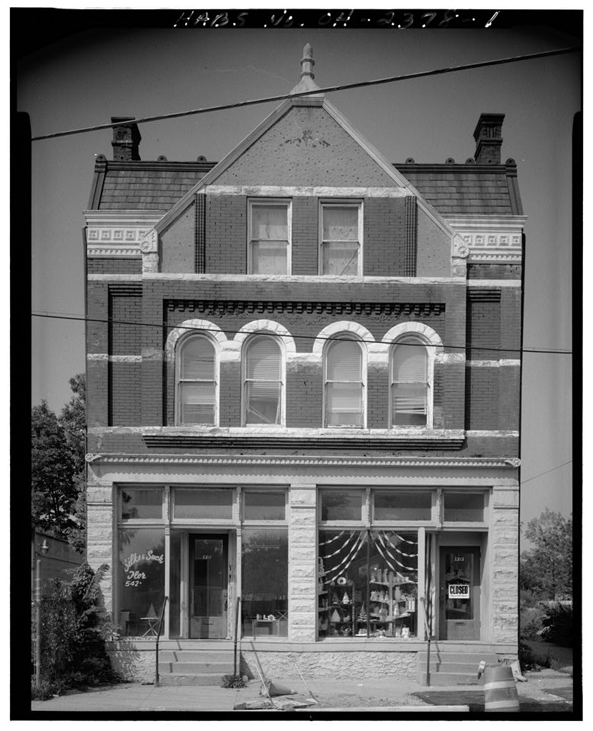
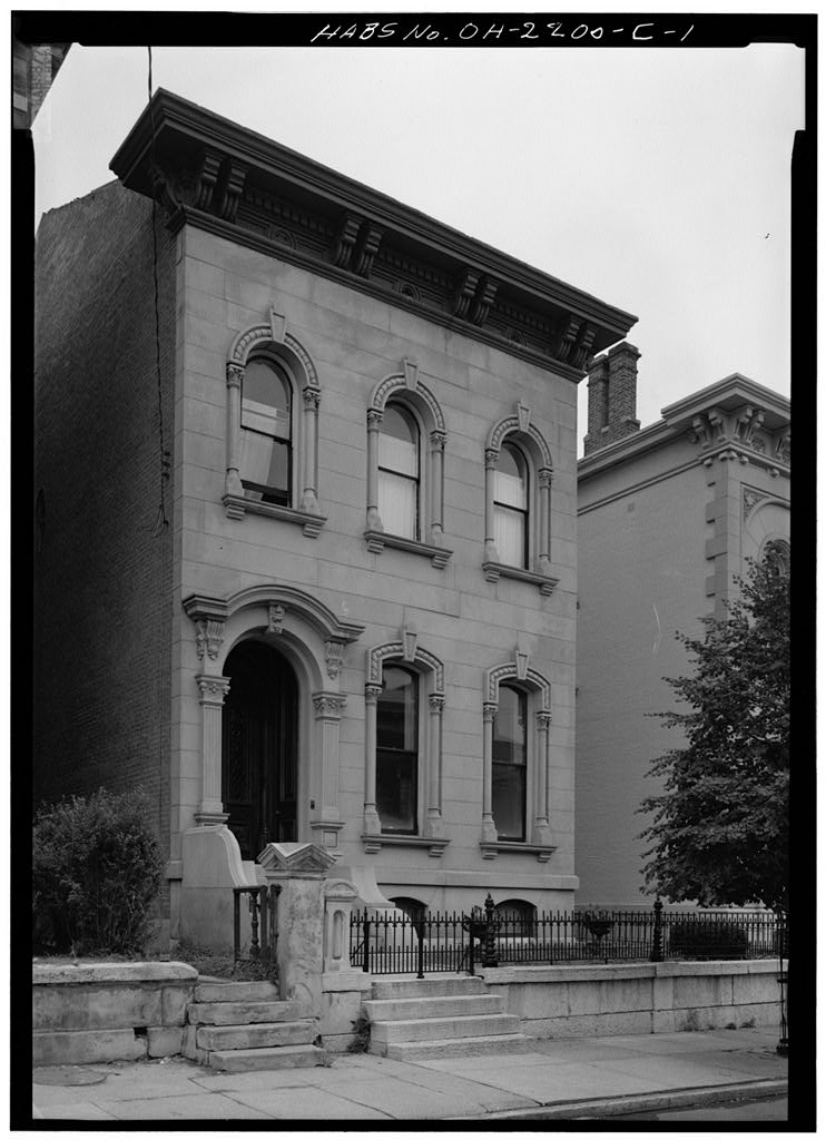
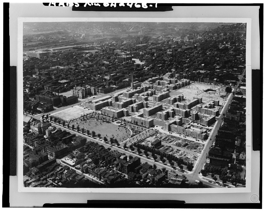
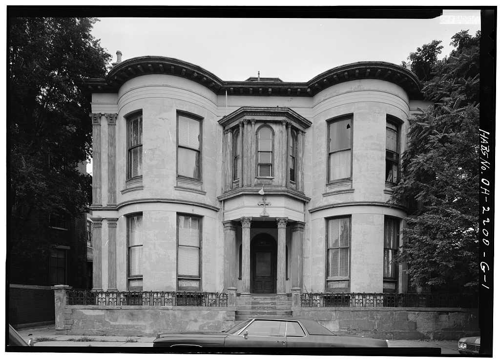
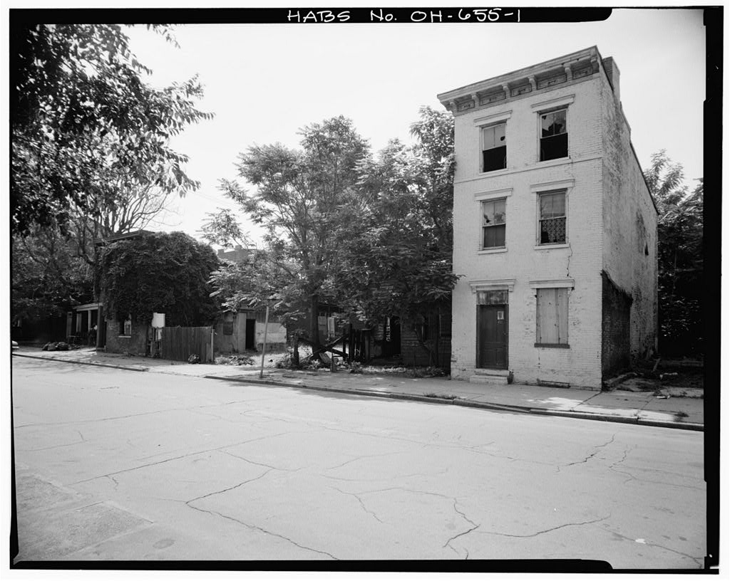
Pendleton Subdivision (Residential-Commercial Buildings), Bounded by Liberty Street, Reading Road & Sycamore Street, Cincinnati
Pendleton Subdivision (Residential-Commercial Buildings), Bounded by Liberty Street, Reading Road & Sycamore Street, Cincinnati, Hamilton County, OH. Surveyed as HABS OHIO,31-CINT,43-, with 1 photograph and a 1,205-word written history.
From the record
“Pendleton was the last developed major subdivision of the Over-the-Rhine neighborhood in Cincinnati which is notable as the major early settlement area of Cincinnati's German immigrants.”
Written record, HABS OHIO,31-CINT,43- survey. Machine-read text.
surveyed by the federal HABS program as HABS OHIO,31-CINT,43- · the record runs 1205 words · one of 127 surveyed structures published for this county.
Source document
Quoted word for word from HABS OHIO,31-CINT,43-.
Not written, edited or summarised by this site.
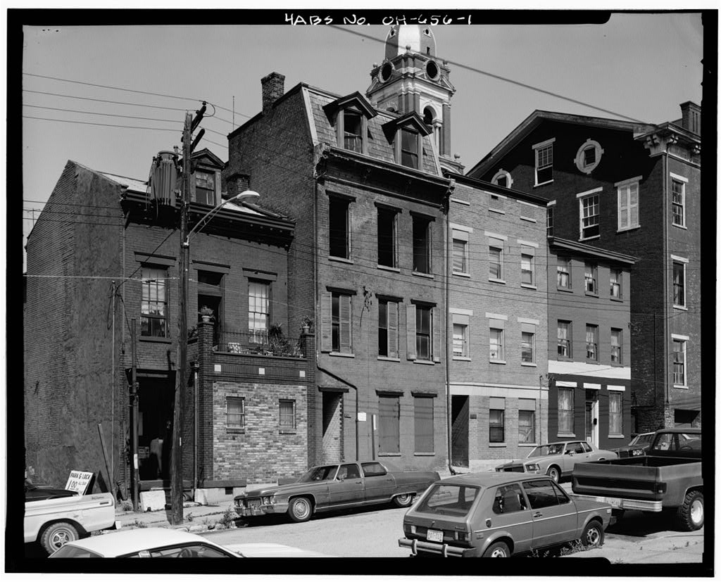
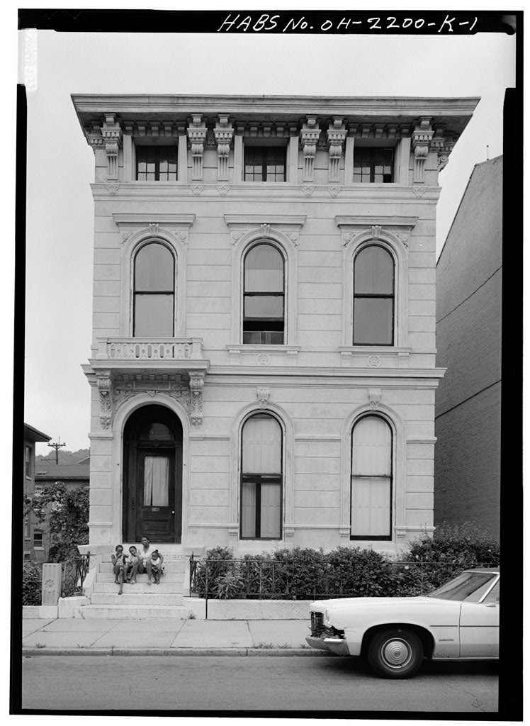
Pendleton was the last developed major subdivision of the Over-the-Rhine neighborhood in Cincinnati which is notable as the major early settlement area of Cincinnati's German immigrants. German influence was dominant in the area until the end of the nineteenth century. The built environment in Pendleton is characterized by numerious large-scale tenements, Italiante and vernacular in style, constructed circa PENDLETON HABS No. OH-656 (Page 2)
Pendleton History
The construction of the Maimi and Erie Canal in defined the southern and western boundaries of what became known as Over-the-Rhine. The canal was referred to as the "Rhine" due to the presence of German immigrants. This area just north of the Central Business District was first developed in the period between and with small wood frame houses. German immigration accelerated in and remained at high levels for the following decade. The Over-the-Rhine neighborhood is significant for its associations with the early German settlement of Cincinnati, which was unrivaled by other ethnic groups in terms of number and concentration.
German influence shaped the social development of the area and institutions; language and other cultural elements affirmed the German dominance until the turn of the century when it began to decline. The Broadway-Pendleton sub-area was the last major subdivision of land in the Over-the-Rhine. The community inherited its name from the Pendleton family whose farm occupied a large portion of this area in the early It became primarily high density residential in land use and today still exhibits this distinctive characteristic. Numerous large scale tenement buildings with Italianate and vernacular architecture, constructed ca. characterize the built environment. One of the first buildings to be built in the Pendleton area, and its greatest landmark today is St.
Paul's Church, completed in Remodeled after a fire in by the noted local architectural firm of Samuel Hannaford & Sons, the church contains various architectural elements which record the first 50 years of its history. One of the most notable is the stained glass window installed in designed by F. X. Zettler in Munich, Germany, which was awarded first prize in the Chicago Columbian Exposition in the same year. Also included in the church cluster is the home of the original landowner, Greene Pendleton. William Henry Harrison, a friend of Pendleton's, had addressed a group of settlers from the rear of the house when he ran for President. Originally located where the church stands now, the house was dismantled and rebuilt brick-by-brick to serve as a rectory when the church was constructed.
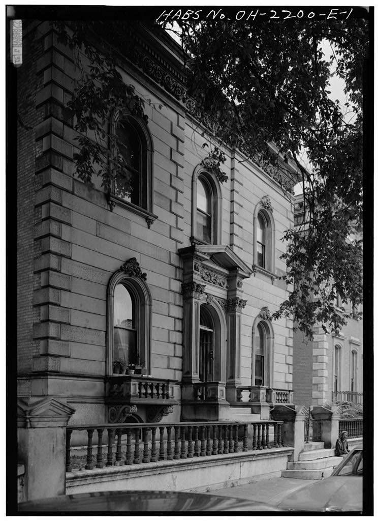
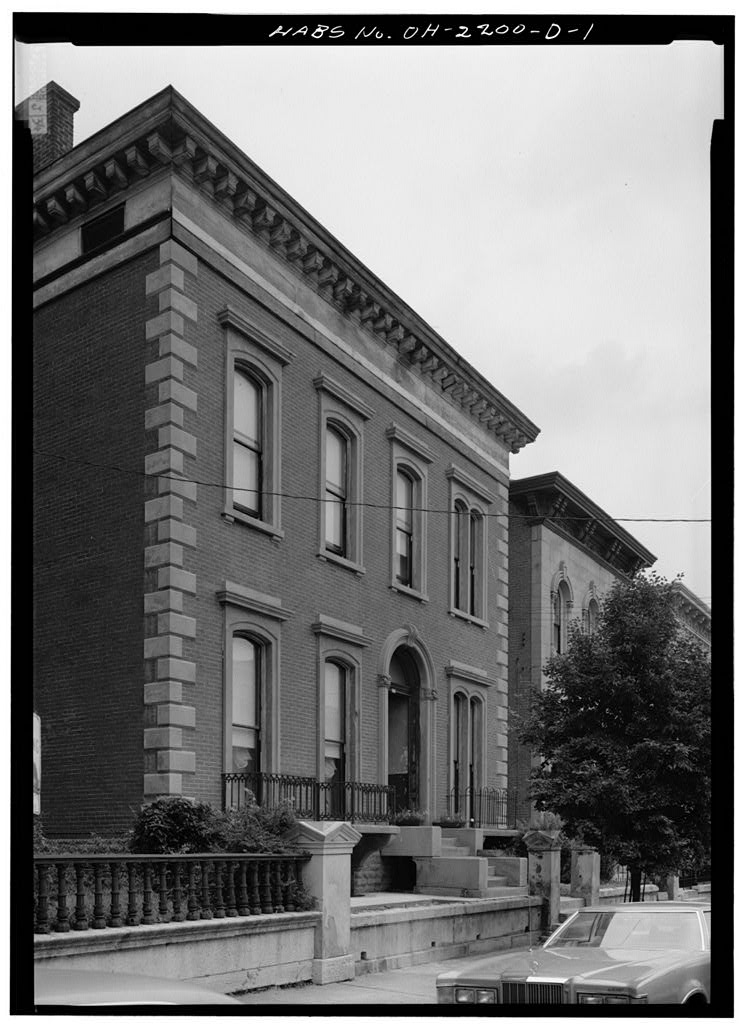
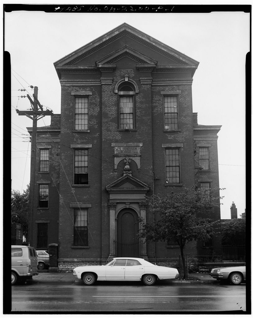
A third story was added to it in Also in the boys' school was constructed. This building was enlarged in and Two later buildings, the convent built in and the girls' school built in contribute to the cluster. The church complex was listed on the National Register in It is an example of the period when the Catholic Church was expanding rapidly to meet the needs of a growing archdiocese and when (c. Cincinnati was the fifth largest city in the country. Most structures remaining today, however, date from the period of to Buildings are brick, two to four story, have little or no side yard and front yard setback, and exhibit detailing associated with the Italianate, Queen Anne, Greek Revival, and Vernacular styles.
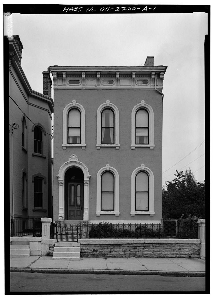
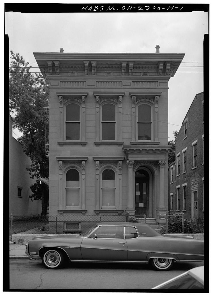
The neighborhood has a dense urban character which largely retains its century appearance. The open rear or side porches found on some of the area's apartment buildings enhances the unique character of Pendleton. Generally the porches are wood with a closed gallery and are found on the second and third floors of buildings. Smaller scale residential buildings are found just south of Liberty and north of Street. These buildings represent the smaller scale buildings built from to Typically they range from two to three stories, are two to PEKDLETON HABS No. OH-656 (Page 3) three bays wide, and have a flat, low gable or mansard roofs. Another charac- teristic of Pendleton is the continuous blockface along Street which has a dramatic change in topography.
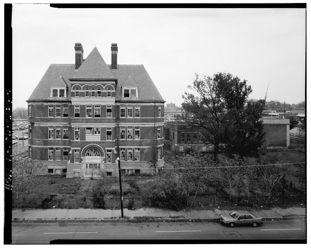
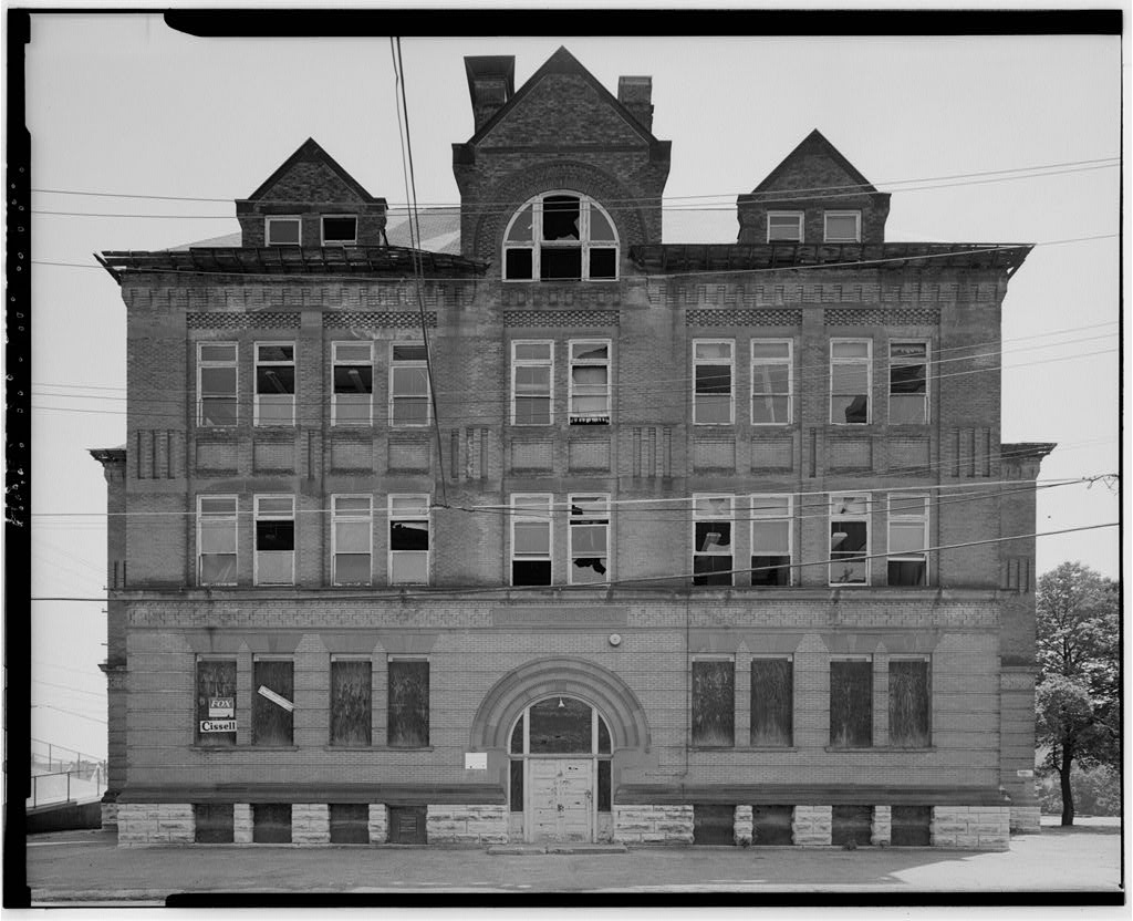
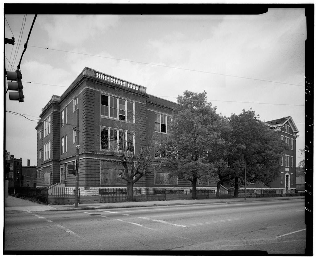
Street comprises a distinctive street- scape of three and four story Italianate buildings. This street drops to the west, framing the view of Old St. Mary's Church in the distance, which is part of a National Register cluster of church-related buildings. During its 150 year history, Pendleton played host to the oldest secondary school in the country (Woodward), the twelve story Fecheimer Uniform Manufactur- ing Building, and its own firehouse. These buildings exist today but serve different purposes. Woodward High School was built in in the Second Renaissance Revival style. The building is a major focal point because of its large scale, mass, and style. It is distinguished by its rusticated ground floor, interior cornice, parapet and rusticated quoins.
The School for the Creative and Performing Arts now occupies this building which is located on the western boundary of Pendleton. The physical boundaries of Pendleton are clear today but for much of its history, Pendleton was considered a part of Mt. Auburn, which borders Pendleton on the north. In Liberty Street was widened and lengthened, which resulted in a physical division between Mt. Auburn and Pendleton. Pendleton has since been regarded as an eastern extension of Over-the-Rhine. As with the rest of Over- the-Rhine, Pendleton has been a "port-of-entry" for newcomers to the city. This pattern of in-migration, adaptation, and then a move to another neighborhood has been occurring for over one hundred years.
Urban renewal activities of the and in Cincinnati's West End caused the most recent influx of people. Demolition, deterioration and neglect have led to massive housing abandonment spl were stripped of architectural detail and sandblasted, Common rehab practices included reducing window openings and removing cornices. In Pendleton has a vacancy rate of almost A growing Central Business District is increasing pressures for more parking lots, and therefore more demolition. The population has stabilized at persons. The average neighborhood income is well below the poverty level. Over 8S% of Pendleton residents are black. Planning efforts are directed toward neighborhood stabili- zation, housing rehabilitation, and the protection of neighborhood character. Source: Mitchell, Lawrence.
"Over-the-Rhine, A Part of the Cincinnati Cultural Landscape," unpublished M.A, thesis,
Written history
76 words
Source document
Quoted word for word from HABS OHIO,31-CINT,43-.
Not written, edited or summarised by this site.
The Department of Housing and Urban Development is providing funds to the city of Cincinnati through a Community Development Block Grant for implementation of the Pendleton Planning Program. Mitigative documentation was undertaken by the Cincinnati City Planning Department in July PENDLETON HABS No. OH-656 (Page 4) in rfn n \ ~! p 41 ii Irl: .E is / /f/^ir^;D:^ ->* I . __ , i : n 1, PHOTOGRAPHIC INDEJ 3felgWV7X9 CINCINNATI CITY PLANNING * JULY
The original filed report, and the sheets the survey produced. Those published here appear above.
Also surveyed in Cincinnati
24 of 88 records shown
The federal surveyors worked through Cincinnati building by building. These are the other structures
they measured and filed a report on, longest report first.
 Block
Block