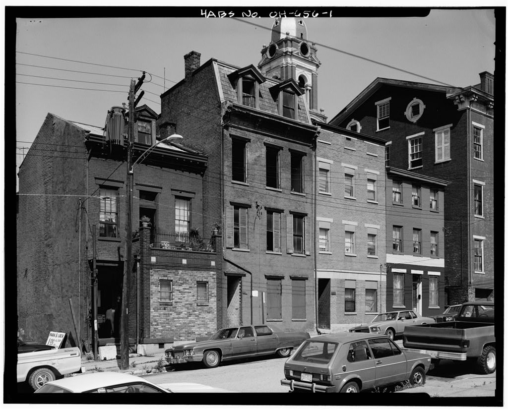
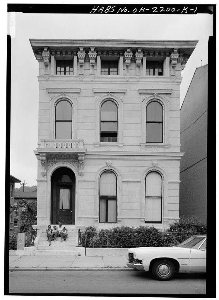
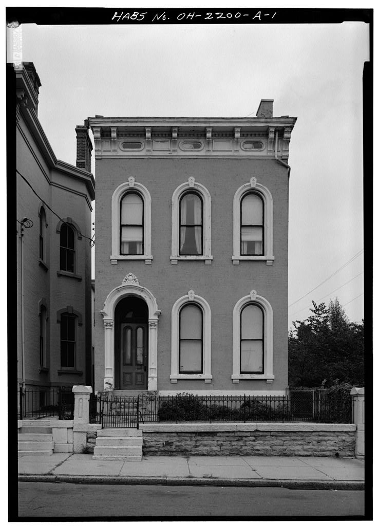
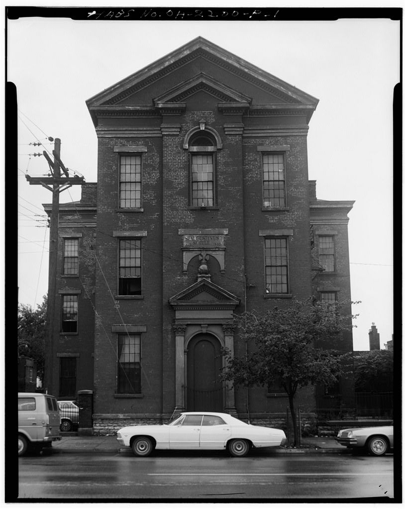
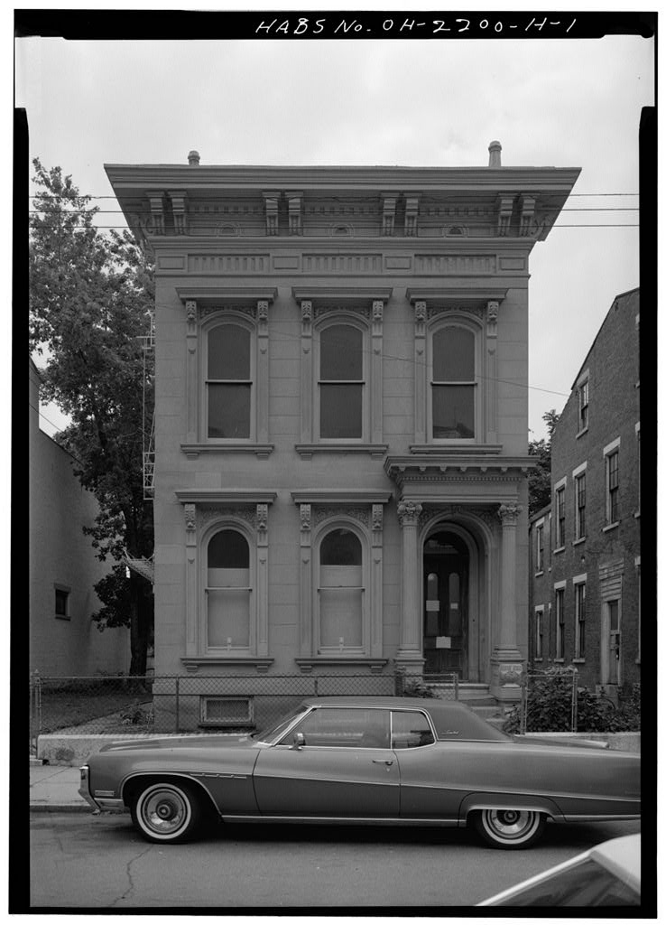
The Betts-Longworth section of Cincinnati is one of the oldest western subdivisions of the city and reflects the architectural and sociological development of the city in the nineteenth century. Historical Development During the first quarter of the nineteenth century, the property within Betts-Long- worth was outside the city limits of Cincinnati. Western Row (renamed Central Avenue in was the western boundary of the city and would remain so until In when most of the city's residents lived near the river and the public landing, only ten households were located in the West End.
Enter- prising landowner Nicholas Longworth had laid out his West End subdivision as early as but actual development did not begin until the Initial on-site improvements focused on Western Row and on Catherine Street (now Old Court Street), and by nearly all of his lots were sold. William Betts lived on at least one hundred acres of undeveloped land just north of Longworth's holdings. Between Betts, along with several other landowners, laid out Fulton (now Mound), Clark, and Hopkins Streets. Major development did not begin in this area until the heirs of William Betts divided his property following his death in They sold off portions in the and kept portions for themselves.
The old Betts farmhouse, built in still stands at 416 Clark Street and is one of the oldest remaining buildings in the city. Possibly because of the timing of the sales and the sizes of the lots, Longworth and the Betts1 family attracted two different types of people to the area. Longworth offered small, unimproved lots which were purchased by foreign immigrants and lower-income Americans. They were construction workers and unskilled laborers who built modest, wood-frame houses. Often, several families lived in one house, and they moved frequently to follow jobs. The Betts' family waited until the to sell off portions of their holdings. They offered larger lots, and attracted a more affluent group. One of the first buyers was architect Henry Walter, who designed St.
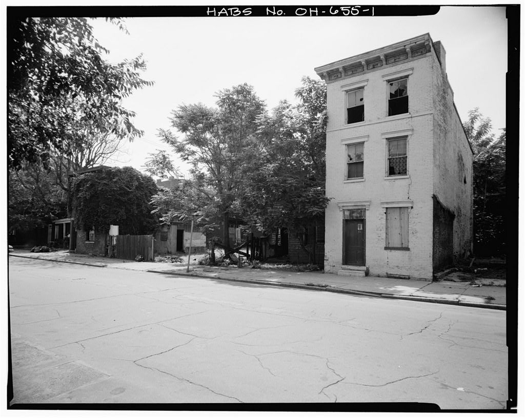
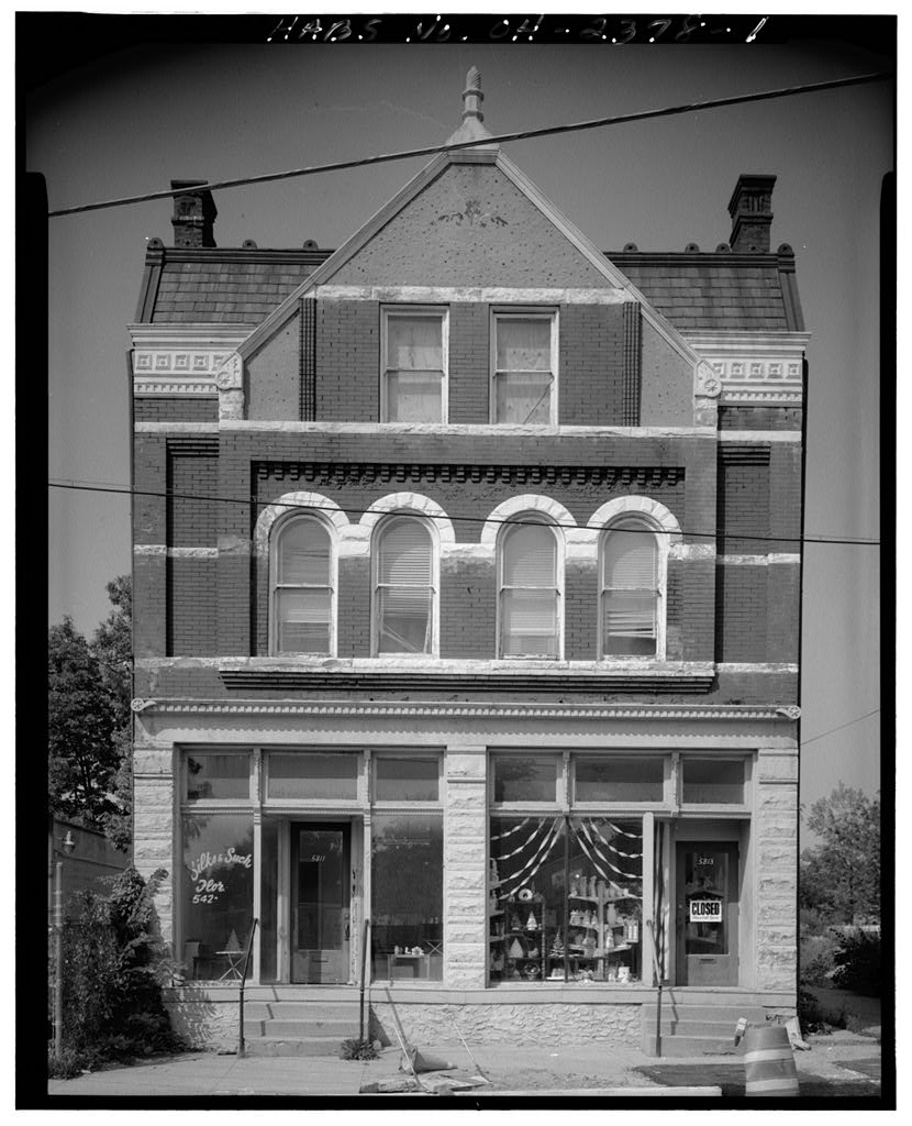
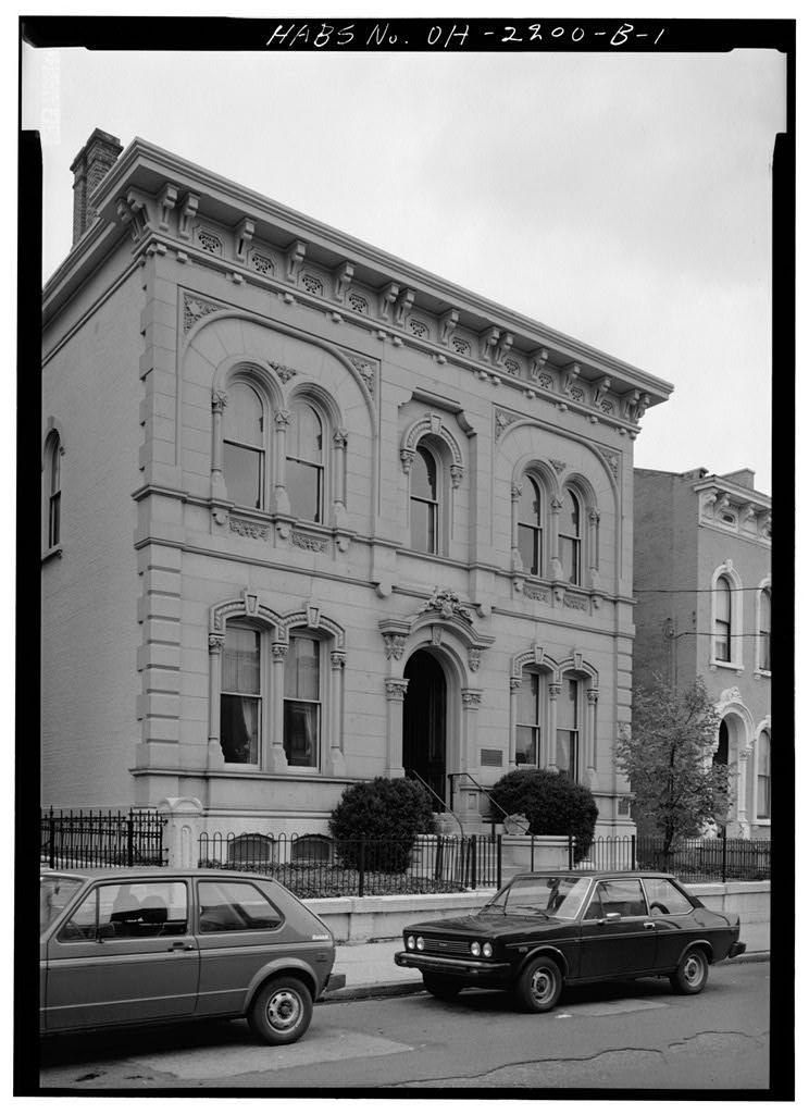
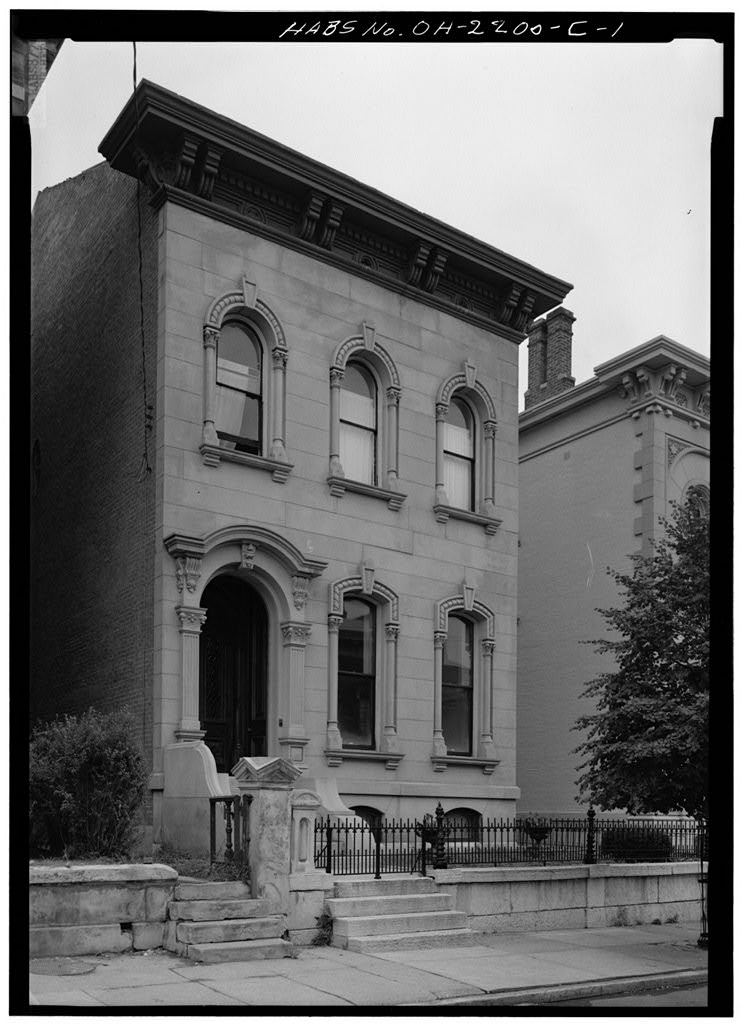
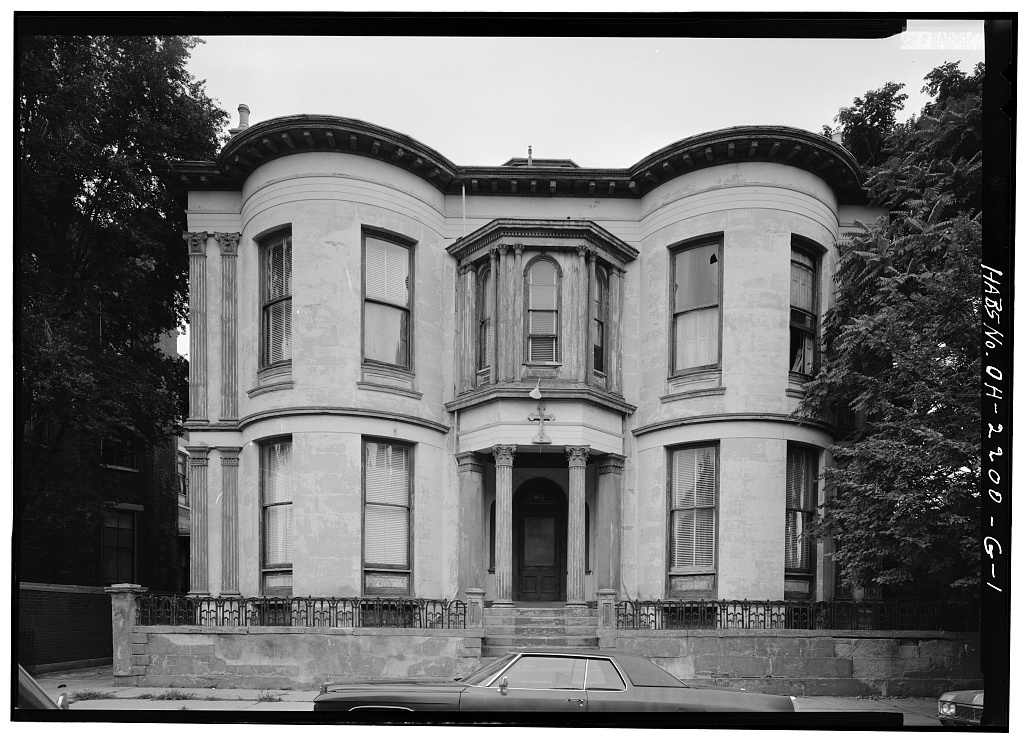
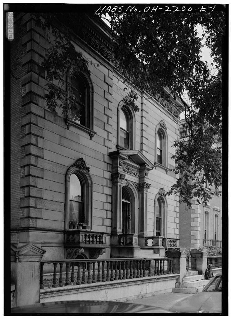
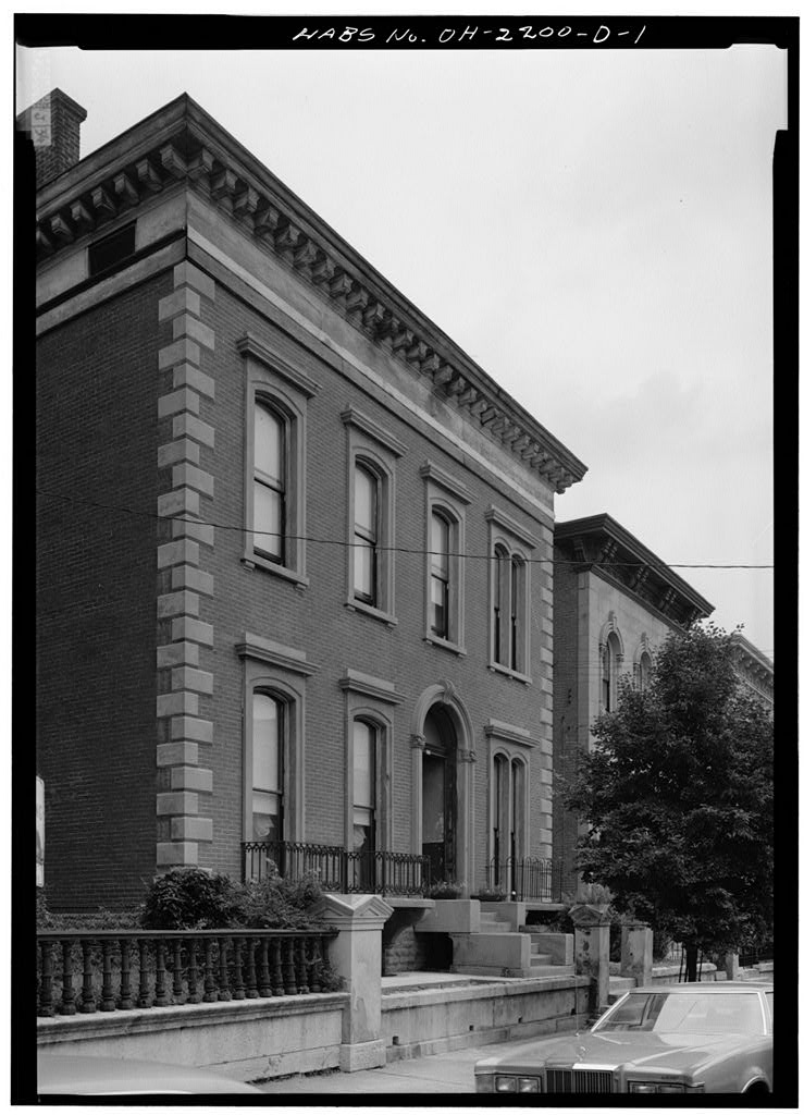
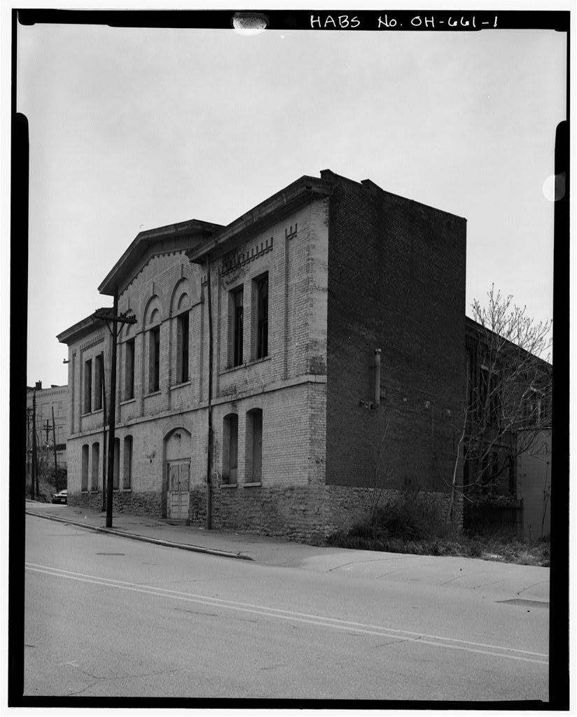
Peter-In-Chains Cathedral. Other new owners were prosperous merchants and businessmen who had moved to Cincinnati from the east coast. They built substantial brick houses, some with stone fronts; these are, for the most part, the buildings that stand today. BETTS-LONGWORTH HABS No. OH-655 (Page 2) Business owners and their employees lived in the same neighborhood, and they were close to their work. It was not unusual to find houses next to a brewery, lumberyard, slaughter house or sausage factory. Land uses were mixed and unregu- lated. Generally, the only controls were those placed on properties by sellers, and these controlled only the most offensive uses: slaughtering, soap making and sausage making.
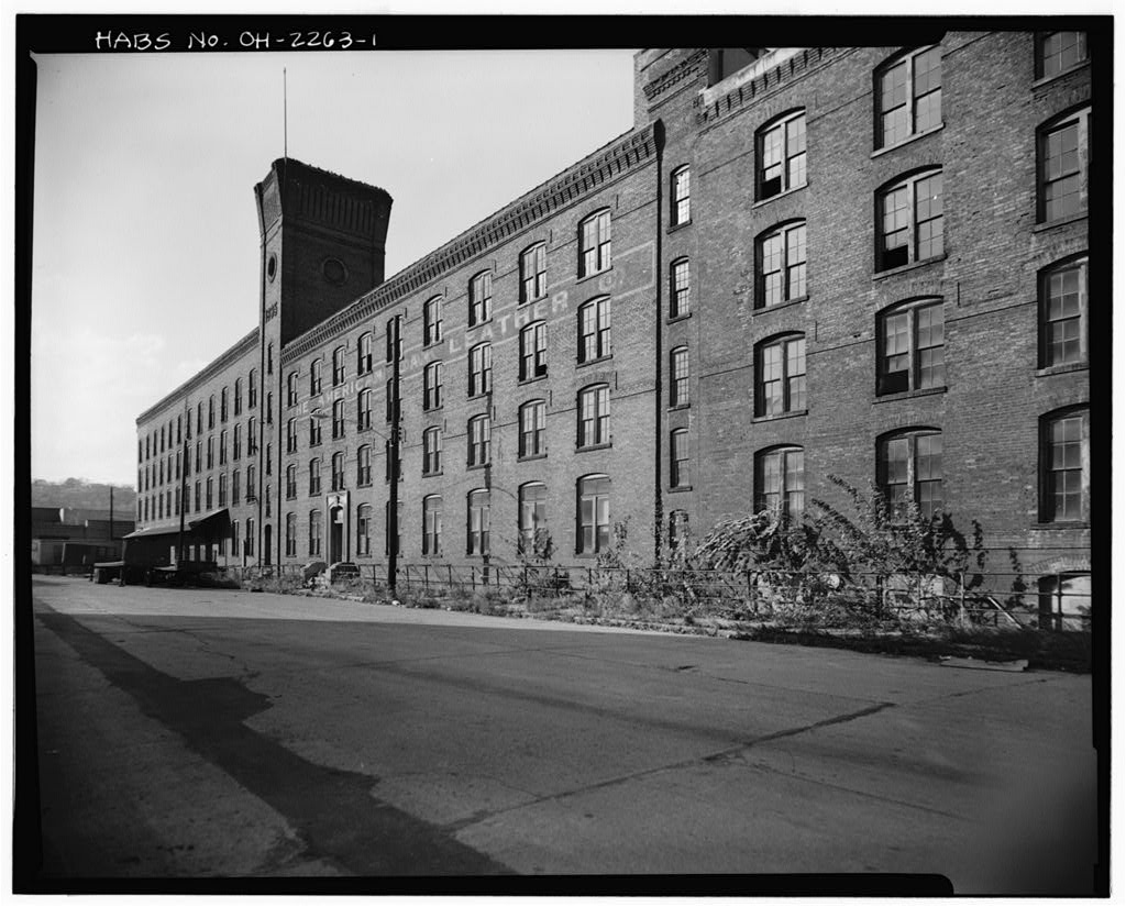
While this closeness may have been necessary and convenient in early years, the density and filth of the were to create an out-migration later in the century. In the the Irish dominated the area. They were in the building and construction trades, or were common laborers or brewery workers. As many of these businesses moved on, the workers moved with them. The uncertainty of the Civil War period created a lull in Cincinnati during the early but by the next decade, a new group of residents had taken over. The saw an influx of Germans and a marked increase in Jews. The Betts-Longworth area became fashionable for business and financial leaders. During this period, the district was the home of such noted Cincinnati businessmen as William F. Doepke, Frederick Alms, and Frank Herschede.
Other residents were associated with the city's major industry, pork packing. By the Cincinnati began to develop suburbs on the hills surrounding the basin. With the increasing convenience of mass transportation, the suburbs of Walnut Hills, College Hill and Avondale grew in popularity. Many of the district's wealthy residents took advantage of the opportunity to leave the dense and polluted center city. By the turn Of the century, the Betts-Longworth area had again become a home for the working class. As an expanding city population increased the pressures for low and moderate income housing, the density of the area increased. Blacks arrived from the east side ghetto known as Bucktown, while many German Jews remained.
The city's black population grew steadily until the when nearly 80% of the black population was concentrated in the West End. Like many of the groups which had preceded them, the blacks were diverse and mobile. Most inhabi- tants were poor, unskilled laborers, many recently arrived from the South. Many of the more affluent blacks in the city had fled the density of the basin to the more prosperous areas of Walnut Hills. Larger industries were also moving out of the city, so the area became primarily residential. A major concern in black neighborhoods was the need for racial pride and black culture. Numerous civic and reform groups, fraternal and social clubs, and religious organizations began to appear. Black leaders such as Wendell P.
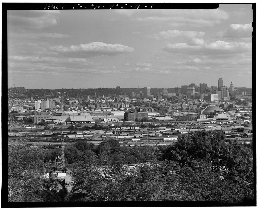
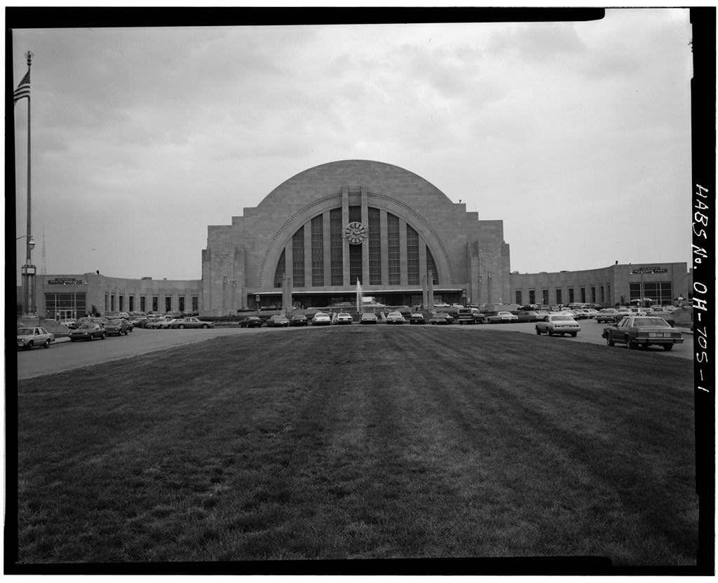
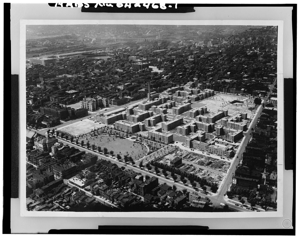
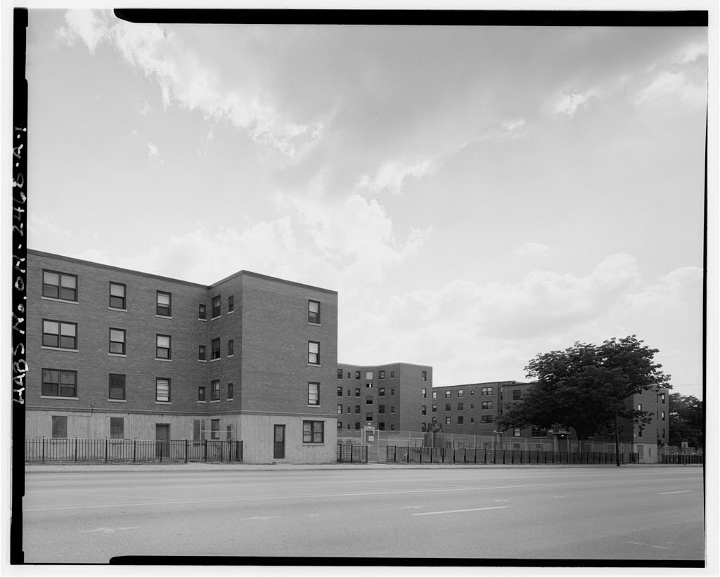
Dabney and William Ware crusaded against inadequate residential, recreational and sanitary conditions in the West End. Although poor and crowded, the neighborhood maintained a mix of occupational opportunities and a vitality unlike the rest of the city. BETTS-LONGWORTH HABS No. OH-655 (Page 3) The area began to decline in the but the causes were not the poverty or the overcrowded and unsanitary living conditions. Ironically, it was instead a series of large urban projects, some of them intended to improve the area's quality of life. First was the Union Terminal Project and the accompanying Lincoln Park Drive, which divided the West End into north and south. Then housing projects in the late thirties and early forties cleared hundreds of houses and eliminated many local streets.
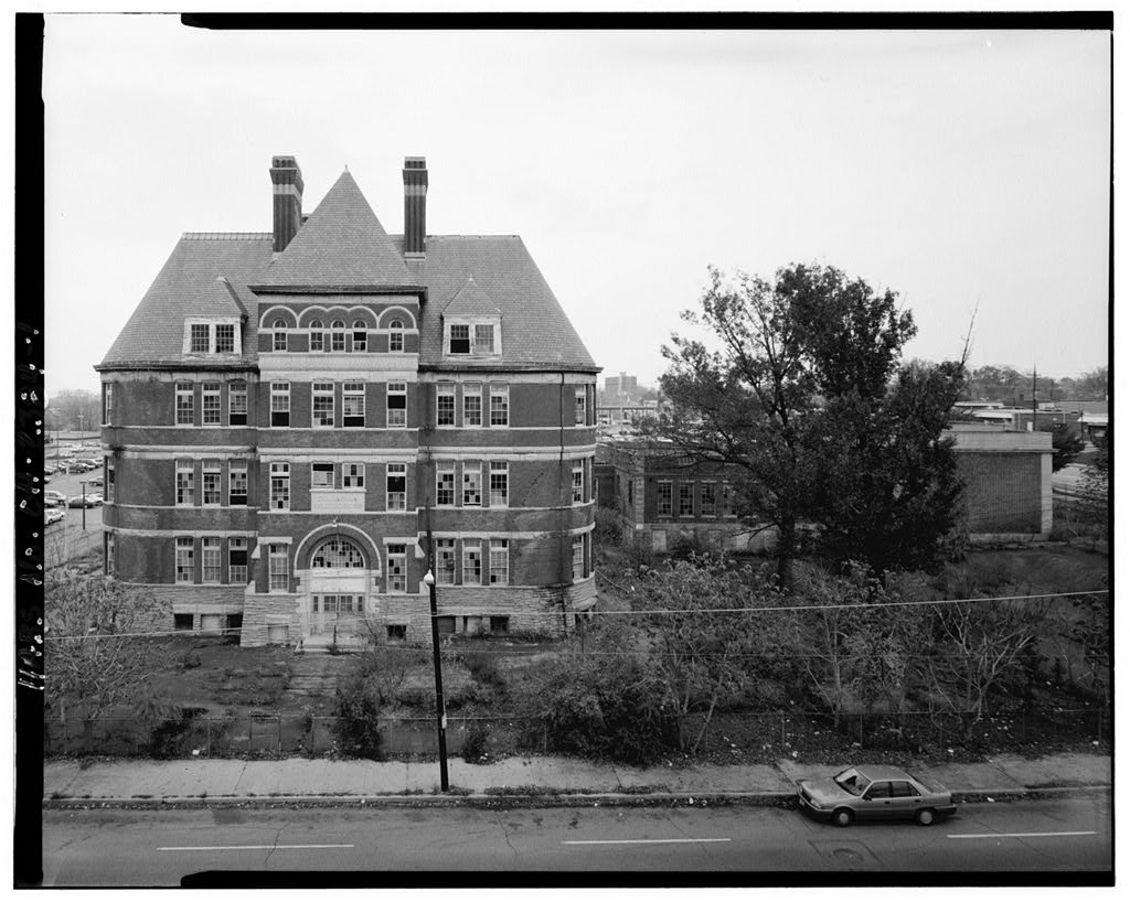
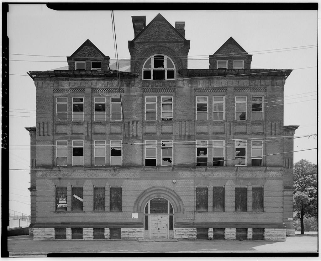
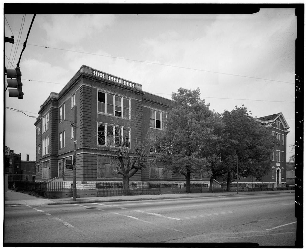
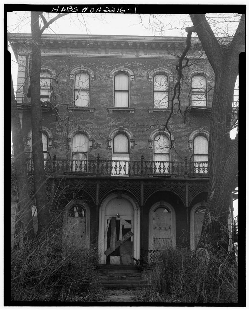
After World War II, the construction of Taft High School and Interstate 75 decimated the community further, and people no longer felt the vitality of the old West End. The Queensgate I Industrial Park proved to be a crushing blow. In the West End still had a population of over but by fewer than were still there. The Betts-Longworth area reflects the many changes which have occurred in the West End. Today most of the buildings stand empty, the result of a change in housing policies in the After the city had purchased many of the buildings, the funds for demolition and new construction were not allocated.
A few remnants of the earliest developments still survive: the Betts Farmhouse and the Jewish cemetery (near the corner of Chestnut and Central and reputed to be the oldest Jewish cemetery west of the Allegheny Mountains). All else that remains of the century core neighborhood is a small group of buildings on a few blocks, completely isolated from their original setting.
 Block
Block